Leziate Wood
Wood, Forest in Norfolk King's Lynn and West Norfolk
England
Leziate Wood
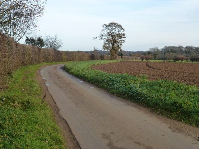
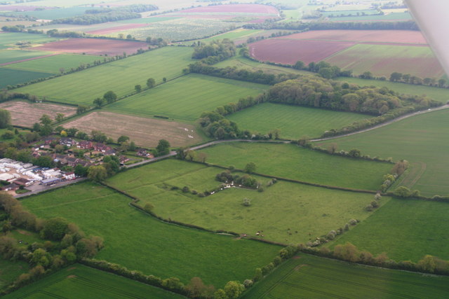
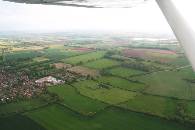
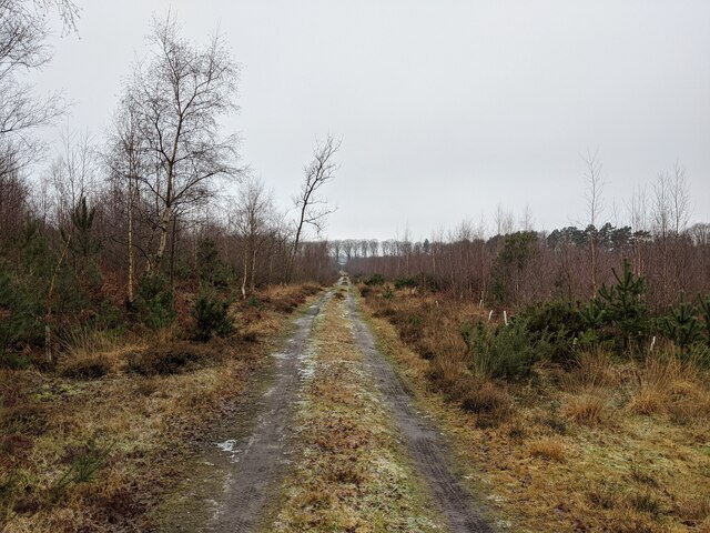
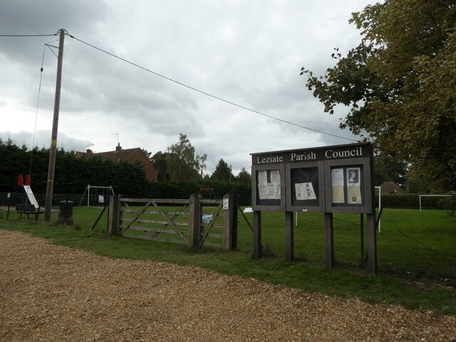
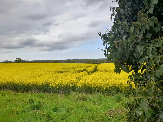
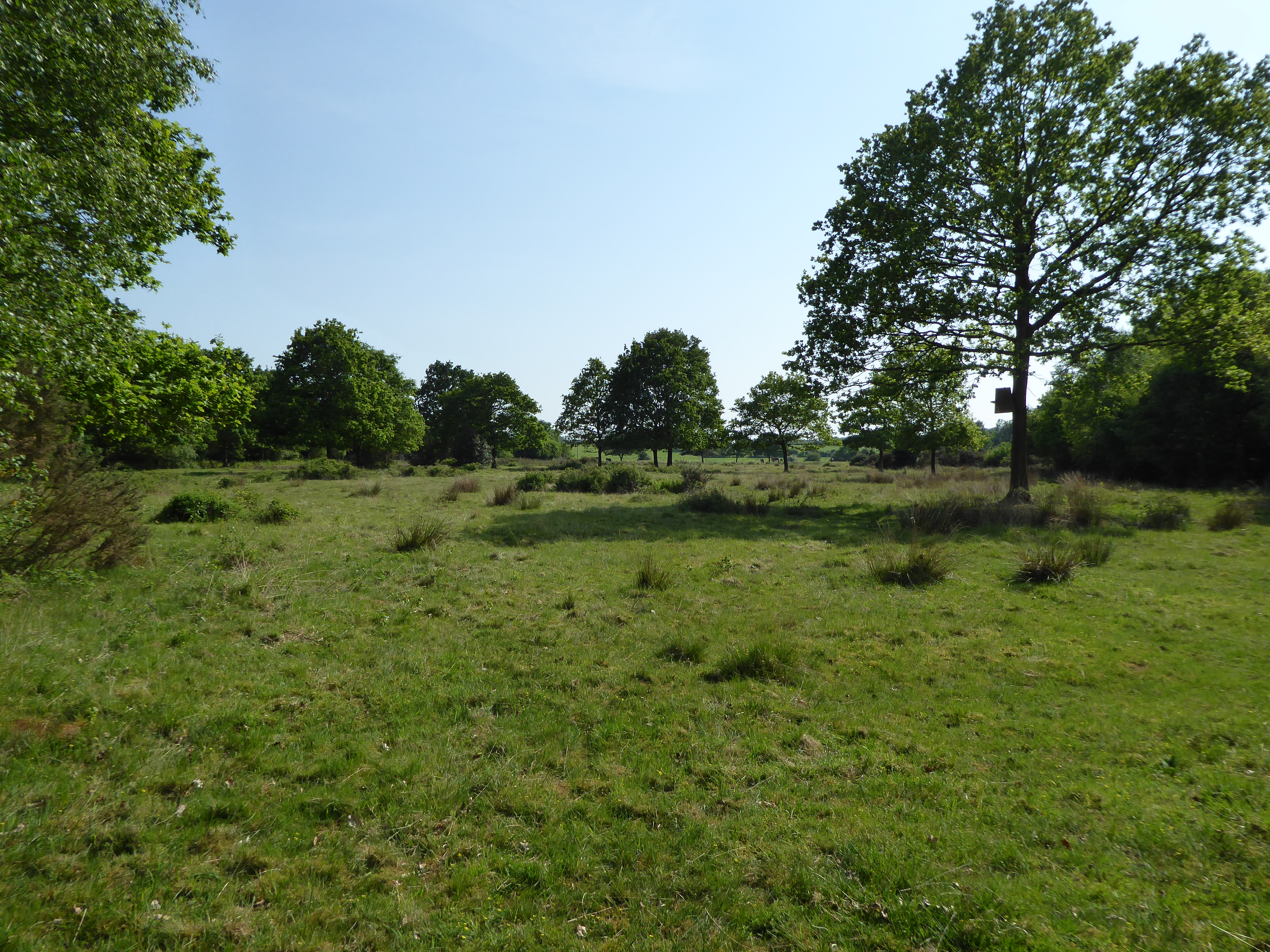
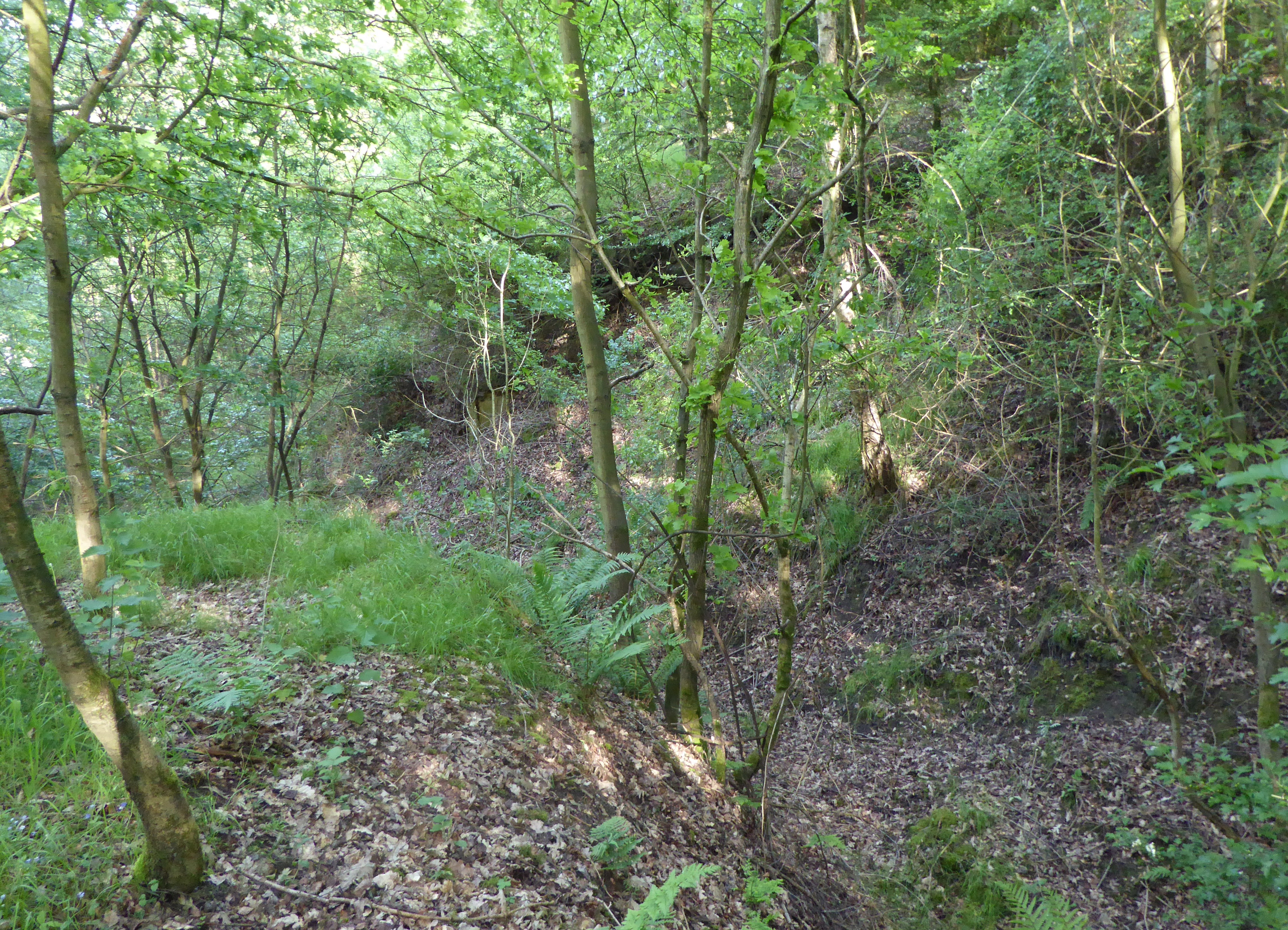
Leziate Wood is a picturesque woodland located in Norfolk, England. Covering an area of approximately 40 acres, it is a popular destination for nature lovers and outdoor enthusiasts. The wood is part of the larger Leziate Park, which also includes a caravan park, fishing lakes, and a golf course.
The wood is predominantly made up of broadleaf trees, including oak, beech, and birch, which provide a beautiful canopy during the summer months. The forest floor is covered in lush vegetation, including bluebells and ferns, creating a vibrant and diverse ecosystem.
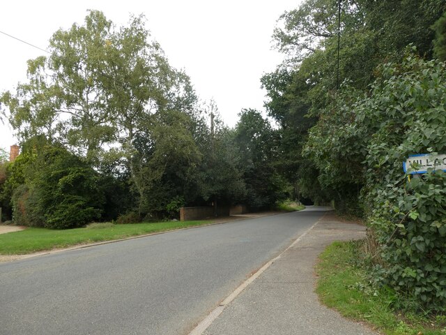
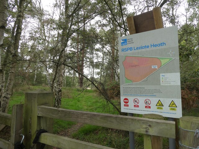
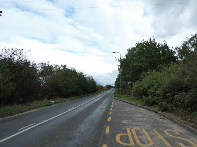
Visitors to Leziate Wood can enjoy a variety of activities, such as walking, birdwatching, and photography. There are several well-maintained trails that wind through the wood, allowing visitors to explore its natural beauty at their own pace. The peaceful atmosphere and abundance of wildlife make it an ideal spot for nature enthusiasts seeking tranquility and a closer connection with the natural world.
Leziate Wood is also home to a rich array of wildlife. Bird species such as woodpeckers, owls, and nuthatches can be spotted among the trees, while the undergrowth provides habitat for small mammals like squirrels and hedgehogs. Additionally, the wood is known for its diverse insect population, including butterflies, bees, and beetles.
Overall, Leziate Wood is a captivating woodland in Norfolk, offering visitors a chance to immerse themselves in nature and experience the beauty of the British countryside.
If you have any feedback on the listing, please let us know in the comments section below.
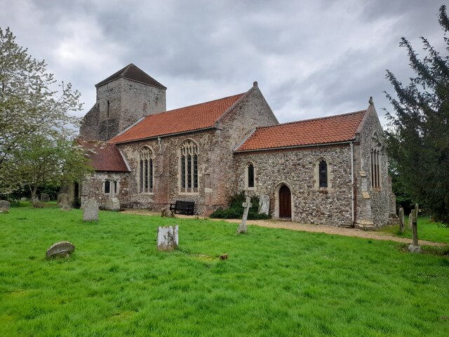
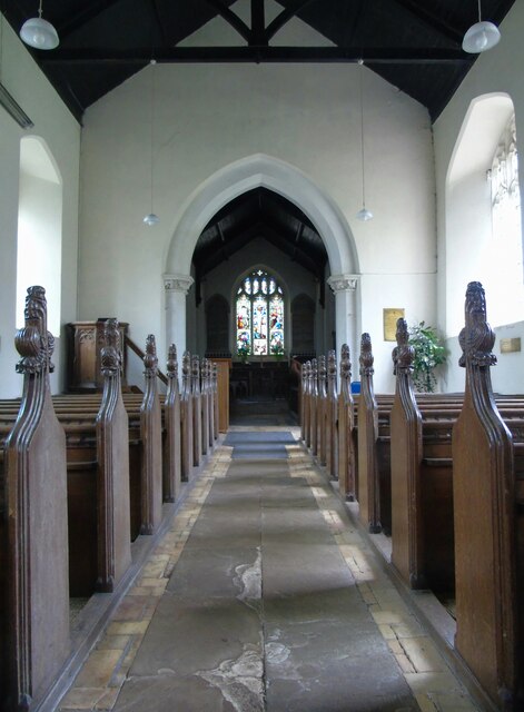
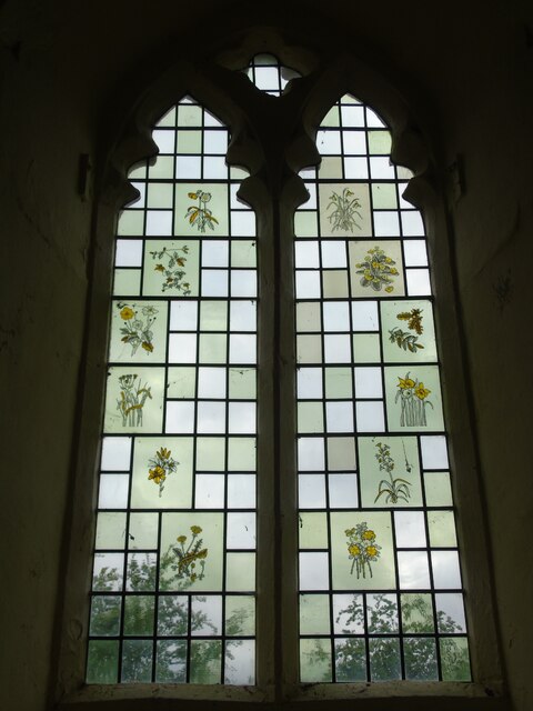
Leziate Wood Images
Images are sourced within 2km of 52.747868/0.51881126 or Grid Reference TF7019. Thanks to Geograph Open Source API. All images are credited.
Leziate Wood is located at Grid Ref: TF7019 (Lat: 52.747868, Lng: 0.51881126)
Administrative County: Norfolk
District: King's Lynn and West Norfolk
Police Authority: Norfolk
What 3 Words
///requested.golf.camcorder. Near Grimston, Norfolk
Nearby Locations
Related Wikis
Leziate, Sugar and Derby Fens
Leziate, Sugar and Derby Fens is an 87.9-hectare (217-acre) biological Site of Special Scientific Interest east of King's Lynn in Norfolk.These fens...
Ashwicken
Ashwicken is a small village and former civil parish, now in the parish of Leziate, in the King's Lynn and West Norfolk district, in the county of Norfolk...

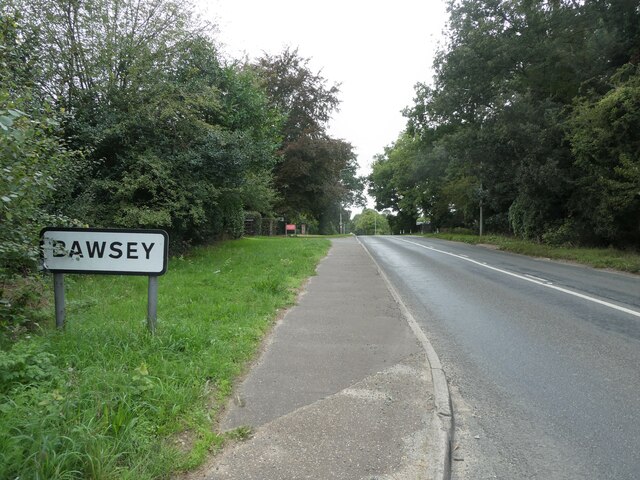
Bawsey
Bawsey is a village and civil parish in the English county of Norfolk. The village is about 4 miles (6.4 km) east of the town of King's Lynn and 40 miles...
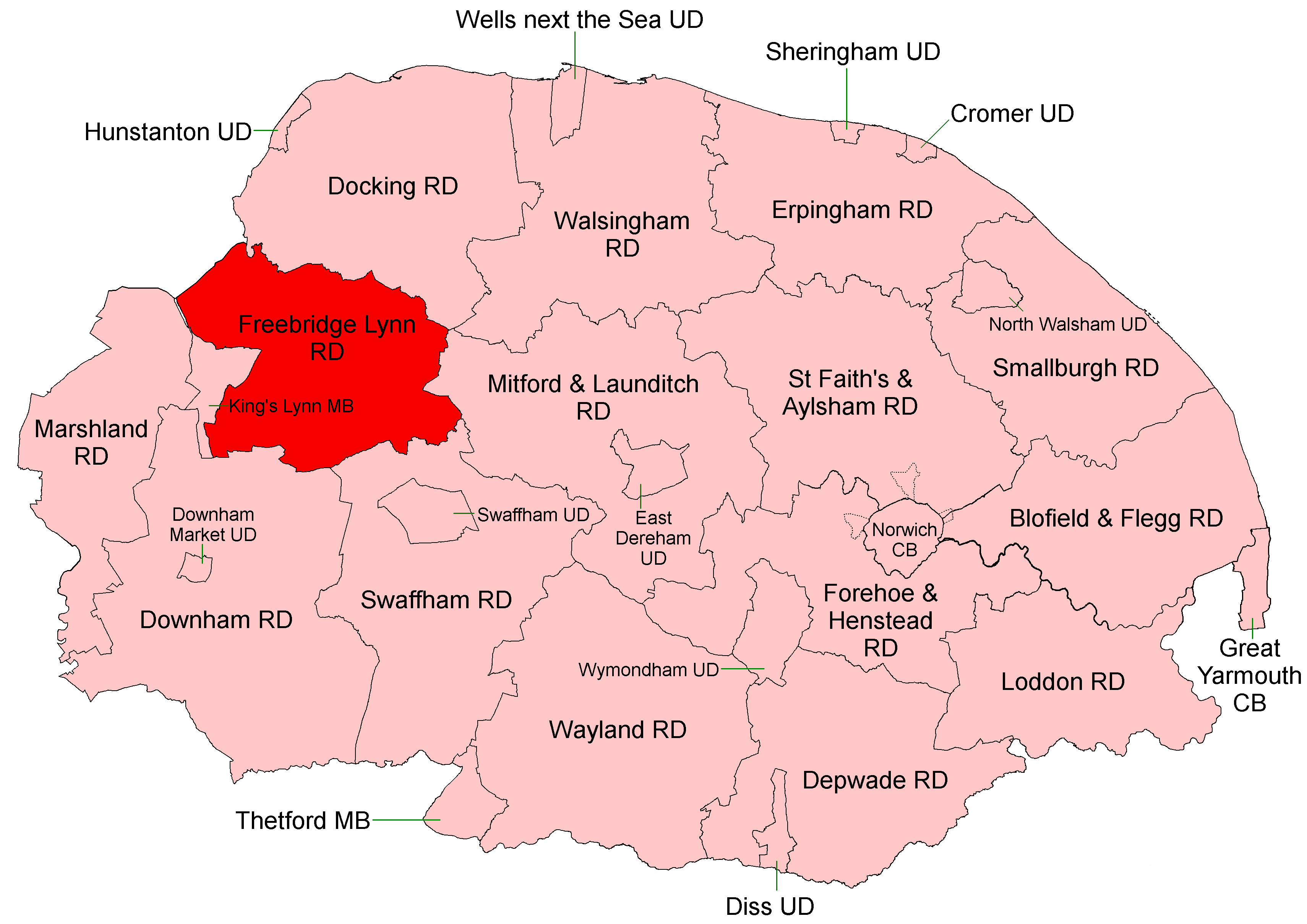
Freebridge Lynn Rural District
Freebridge Lynn Rural District was a rural district in Norfolk, England from 1894 to 1974.It was formed under the Local Government Act 1894 based on the...

Docking Rural District
Docking Lynn Rural District was a rural district in Norfolk, England from 1894 to 1974.It was formed under the Local Government Act 1894 based on the Docking...
Bawsey SSSI
Bawsey is a 2.6-hectare (6.4-acre) geological Site of Special Scientific Interest east of Kings' Lynn in Norfolk. It is a Geological Conservation Review...

Pott Row
Pott Row is an expanding village near King's Lynn, Norfolk. It is the western part of the civil and ecclesiastical Parish of Grimston. Pott Row and neighbouring...

Gayton, Norfolk
Gayton is a village and civil parish in the English county of Norfolk. The village is located 6 miles (9.7 km) east of King's Lynn and 32 miles (51 km...
Related Videos
Hadleigh Farm Cottage: Holiday Cottage, Ashwicken, King’s Lynn, Norfolk
Arriving at our holiday cottage, on a working farm, while on holiday in North Norfolk, England for the week.

Brick Cottage
Brick Cottage encourages the whole family into al fresco living. Accommodating up to six with bright, luxury, spacious rooms and ...

🌍Bawsey lakes near King's Lynn in the UK - African heat flare 🥵 filming stunning nature! 🏕🌿
Bawsey lakes near King's Lynn during the 'African heat flare' in the UK from air and ground. Mountfitchet Castle & Norman ...
Nearby Amenities
Located within 500m of 52.747868,0.51881126Have you been to Leziate Wood?
Leave your review of Leziate Wood below (or comments, questions and feedback).