Ashwicken
Settlement in Norfolk King's Lynn and West Norfolk
England
Ashwicken
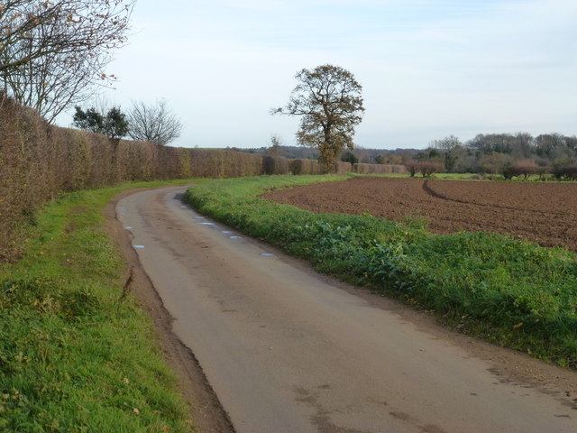
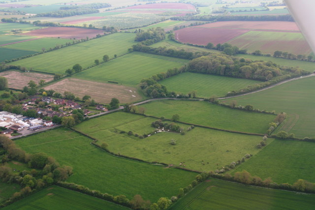
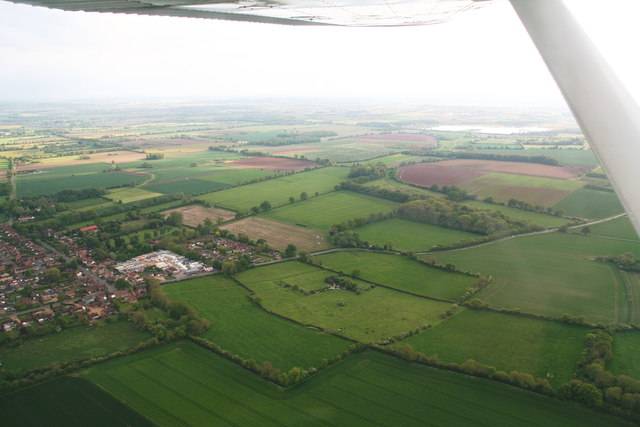
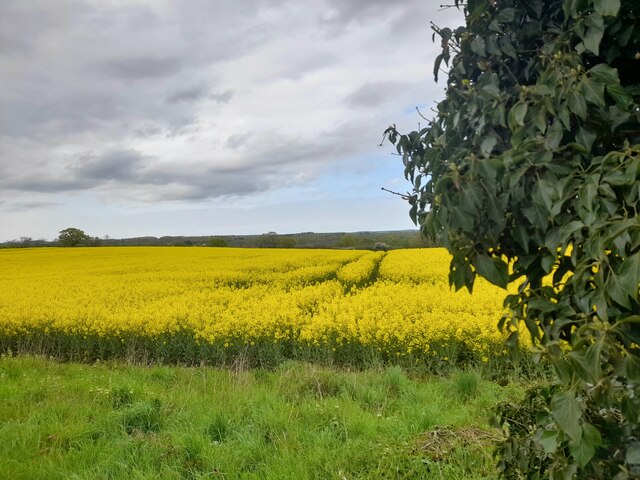
Ashwicken is a small village located in the county of Norfolk, England. Situated approximately 5 miles east of King's Lynn, the village falls within the district of West Norfolk. Ashwicken is surrounded by picturesque countryside and is known for its tranquil and rural setting.
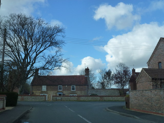
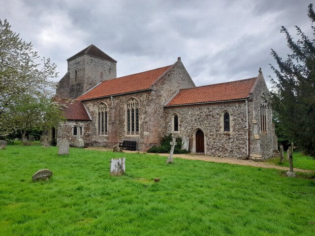
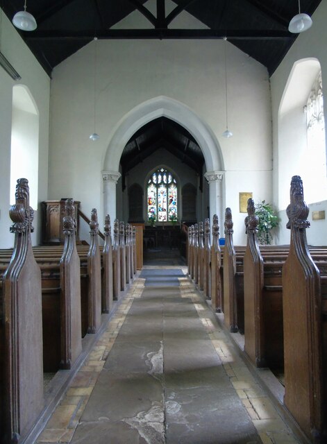
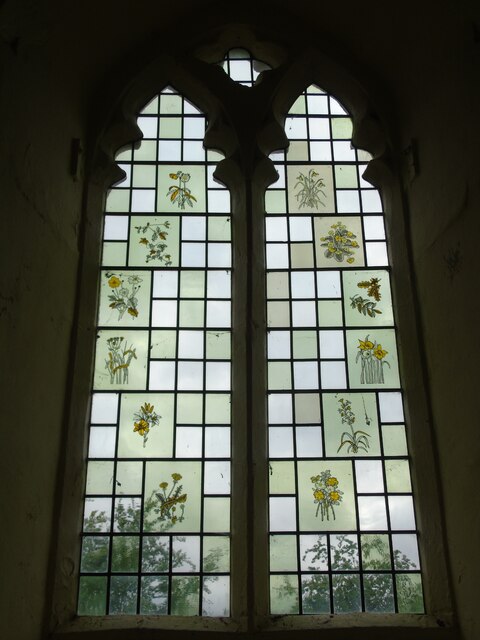
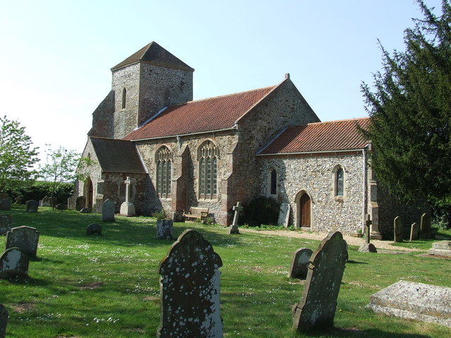
The village itself is home to a close-knit community, with a population of around 200 residents. The village is characterized by its charming cottages and traditional architecture, giving visitors a sense of stepping back in time. The village church, St. Mary's, is a prominent feature, with its historic Norman tower and beautiful stained glass windows.
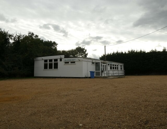
Although Ashwicken is primarily a residential area, there are a few amenities available for its residents. These include a small village hall, which serves as a gathering place for community events and social activities. The nearest shops and services can be found in the nearby towns of King's Lynn or Gayton.
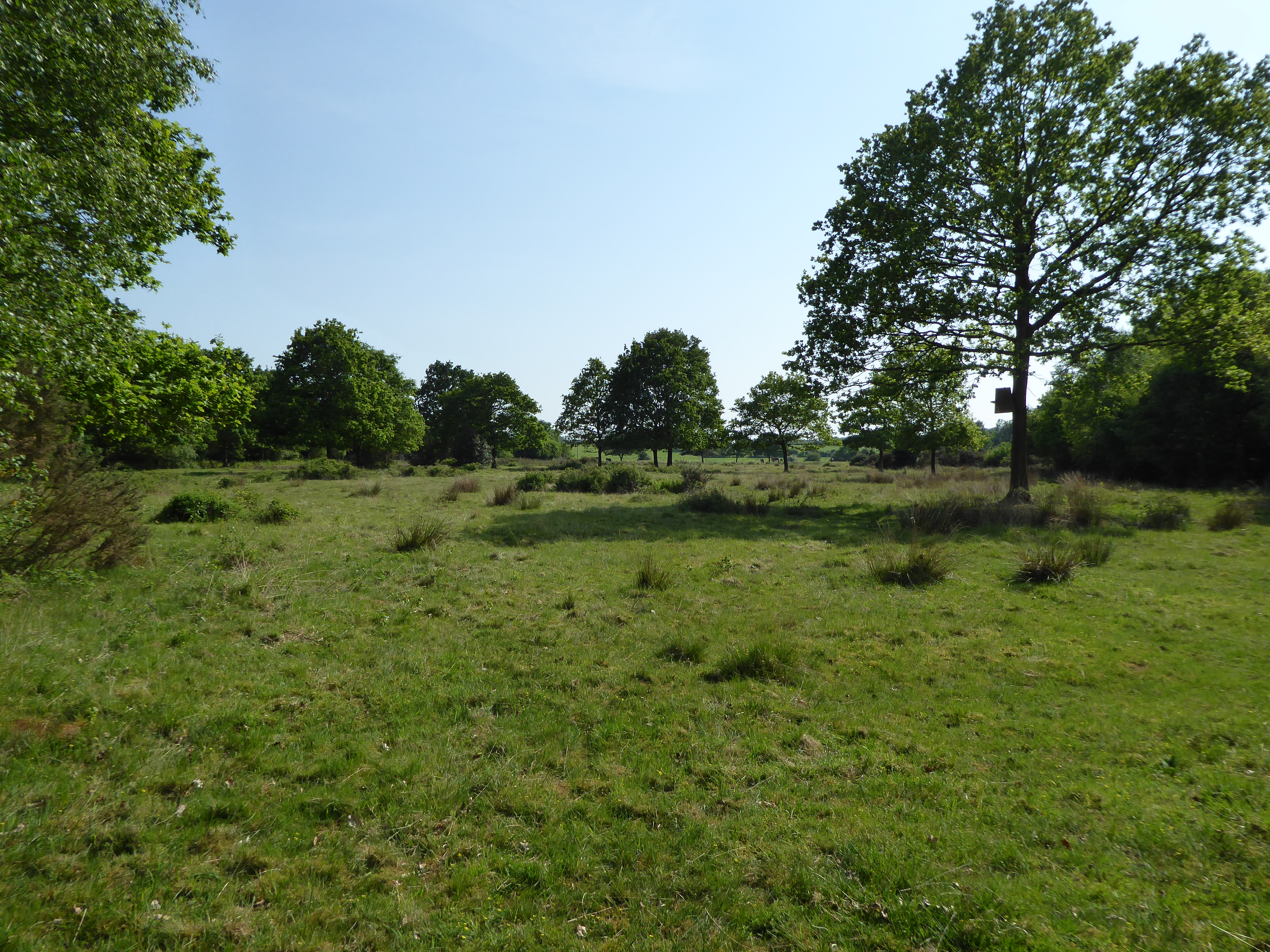
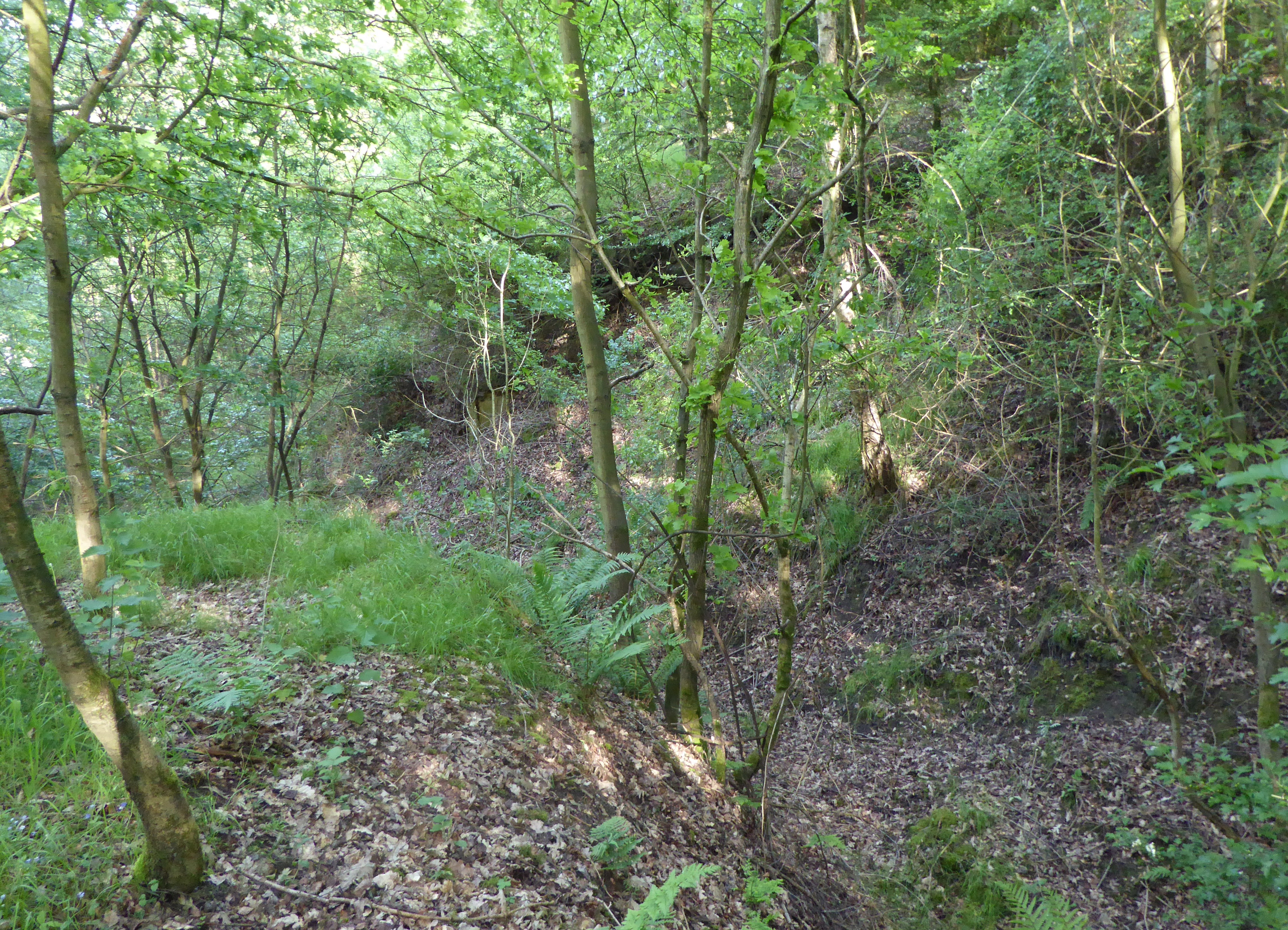
Nature enthusiasts will find Ashwicken to be a haven for wildlife. The surrounding countryside offers scenic walks and opportunities for birdwatching. The village is also located near the River Nar, which attracts anglers and provides a peaceful setting for outdoor activities.
Overall, Ashwicken is a quaint and peaceful village that offers a sense of country living in the heart of Norfolk. Its idyllic setting and close-knit community make it an attractive place for those seeking a quieter pace of life.
If you have any feedback on the listing, please let us know in the comments section below.
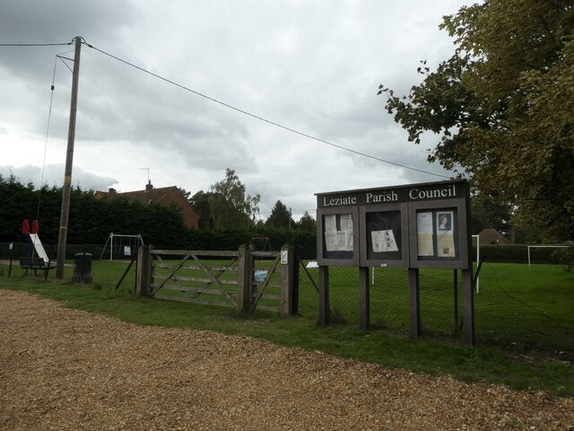
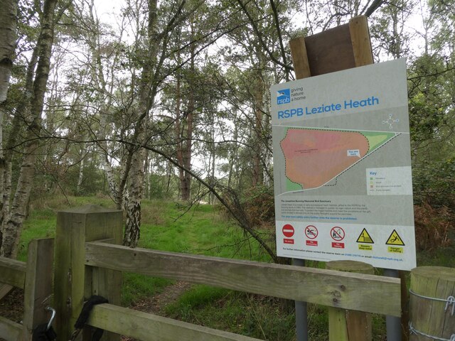
Ashwicken Images
Images are sourced within 2km of 52.74541/0.519319 or Grid Reference TF7019. Thanks to Geograph Open Source API. All images are credited.
Ashwicken is located at Grid Ref: TF7019 (Lat: 52.74541, Lng: 0.519319)
Administrative County: Norfolk
District: King's Lynn and West Norfolk
Police Authority: Norfolk
What 3 Words
///goats.bared.butterfly. Near Grimston, Norfolk
Nearby Locations
Related Wikis
Ashwicken
Ashwicken is a small village and former civil parish, now in the parish of Leziate, in the King's Lynn and West Norfolk district, in the county of Norfolk...
Leziate, Sugar and Derby Fens
Leziate, Sugar and Derby Fens is an 87.9-hectare (217-acre) biological Site of Special Scientific Interest east of King's Lynn in Norfolk.These fens...
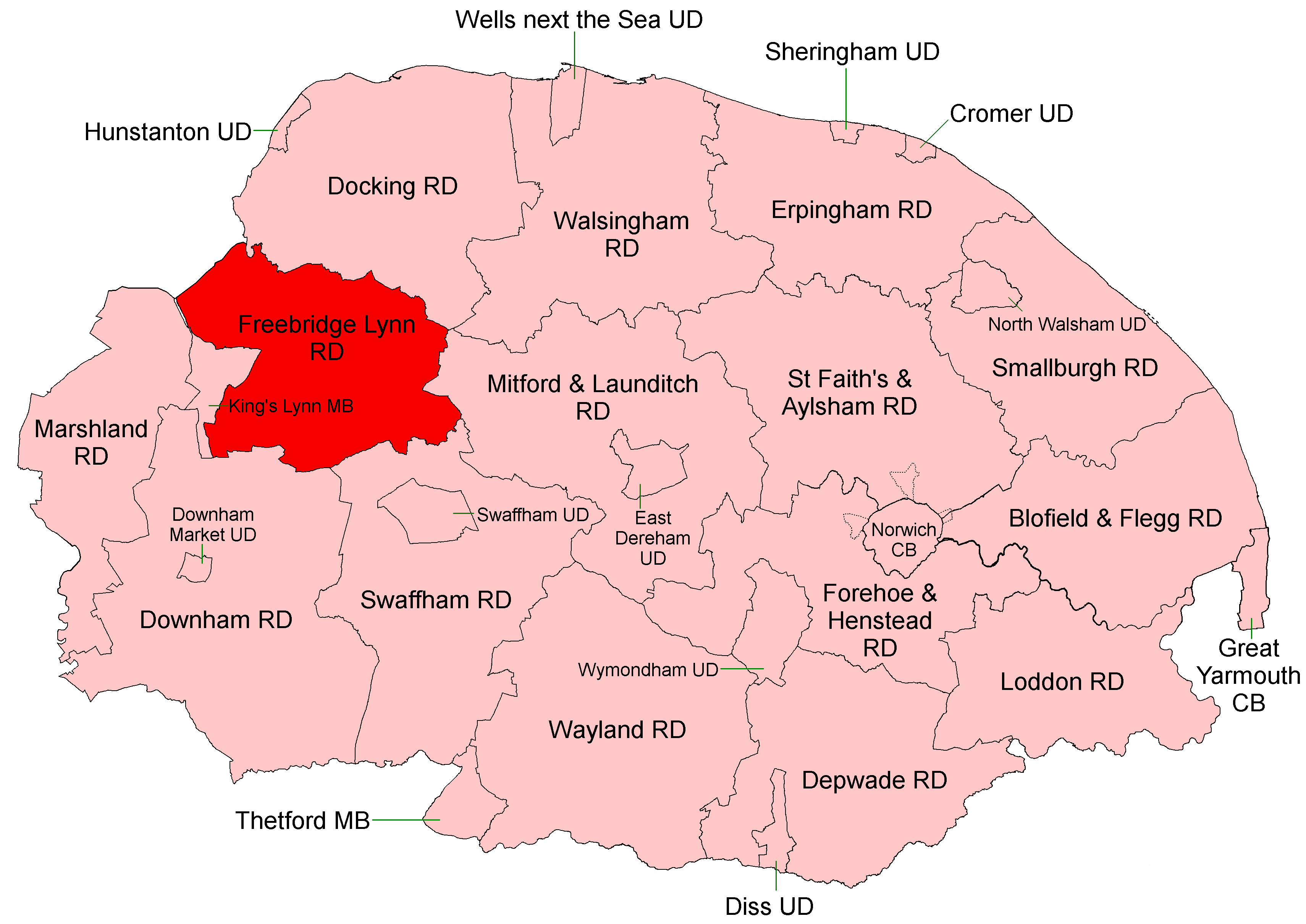
Freebridge Lynn Rural District
Freebridge Lynn Rural District was a rural district in Norfolk, England from 1894 to 1974.It was formed under the Local Government Act 1894 based on the...

Docking Rural District
Docking Lynn Rural District was a rural district in Norfolk, England from 1894 to 1974.It was formed under the Local Government Act 1894 based on the Docking...
Bawsey SSSI
Bawsey is a 2.6-hectare (6.4-acre) geological Site of Special Scientific Interest east of Kings' Lynn in Norfolk. It is a Geological Conservation Review...

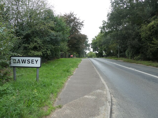
Bawsey
Bawsey is a village and civil parish in the English county of Norfolk. The village is about 4 miles (6.4 km) east of the town of King's Lynn and 40 miles...
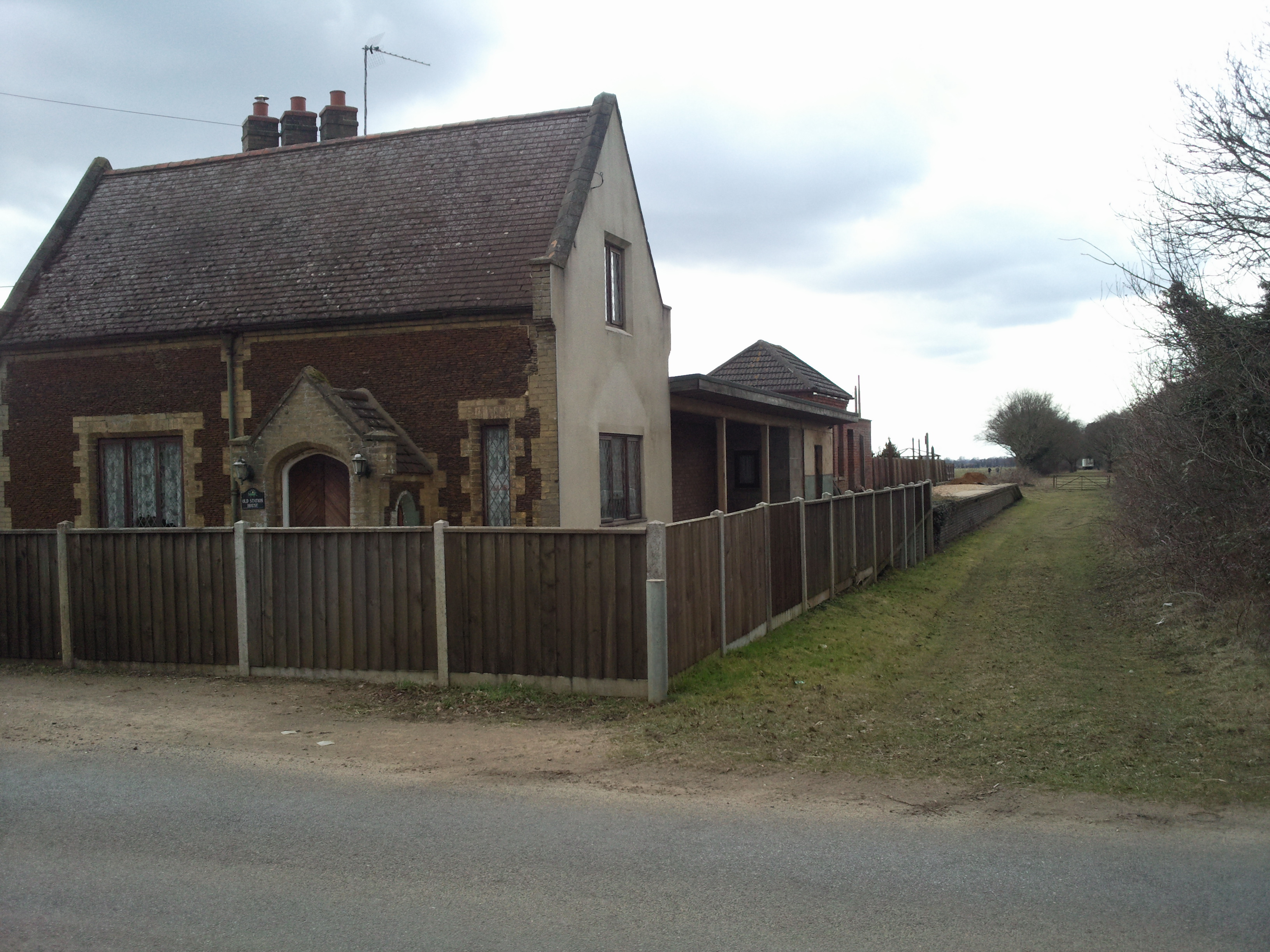
East Winch railway station
East Winch railway station was at East Winch, Norfolk, England on the line between King's Lynn and Swaffham. It closed in 1968. The signal box from the...

Pott Row
Pott Row is an expanding village near King's Lynn, Norfolk. It is the western part of the civil and ecclesiastical Parish of Grimston. Pott Row and neighbouring...
Nearby Amenities
Located within 500m of 52.74541,0.519319Have you been to Ashwicken?
Leave your review of Ashwicken below (or comments, questions and feedback).