Forge Wood

Wood, Forest in Sussex Rother

England

Forge Wood

Track and footpath to Turzes Farm
Track and footpath to Turzes Farm Credit: Jonathan Billinger

Forge Wood is a newly developed residential area located in the county of Sussex, England. Situated to the east of Crawley, it covers an area of approximately 150 hectares and is surrounded by picturesque countryside and green spaces. As the name suggests, the area was historically occupied by dense woodland, which has been partially preserved and incorporated into the neighborhood's design, providing a natural and serene environment for its residents.

The development of Forge Wood began in the early 2010s, with the aim of meeting the growing demand for housing in the Crawley area. The community is being built in several phases, with the first residents moving in around 2016. Once fully completed, it is expected to comprise around 1,900 homes, accommodating a diverse range of households.

The design of Forge Wood focuses on creating a sustainable and family-friendly community. The neighborhood features a variety of housing types, including apartments, terraced houses, and detached homes, catering to different lifestyles and needs. Moreover, the development incorporates ample green spaces, parks, and play areas, encouraging outdoor activities and providing opportunities for residents to socialize and interact.

Forge Wood is well-connected to the surrounding areas, with easy access to major road networks such as the M23 and A23, facilitating commuting to nearby towns and cities. Additionally, Crawley town center is just a short distance away, offering a wide range of amenities, including shopping centers, schools, healthcare facilities, and leisure activities.

Overall, Forge Wood offers a modern and sustainable residential environment, blending natural beauty with contemporary living, making it an attractive place to call home in Sussex.

If you have any feedback on the listing, please let us know in the comments section below.
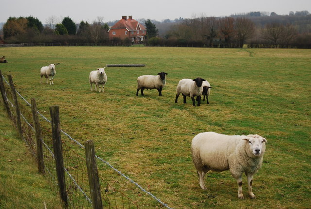
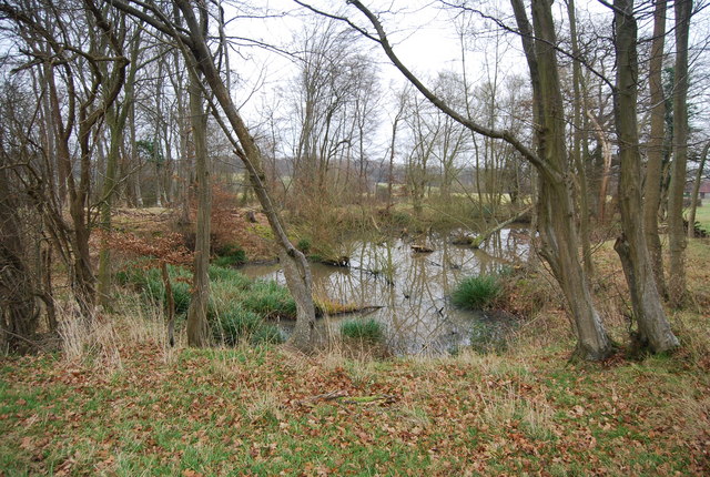
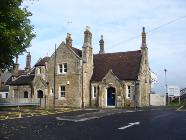
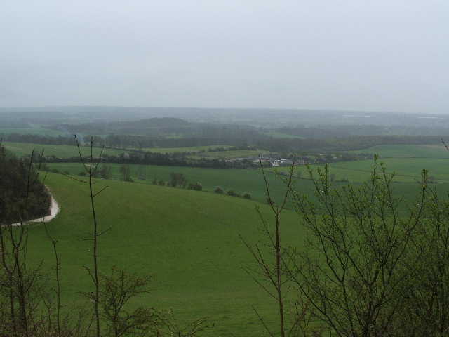
Forge Wood Images

Images are sourced within 2km of 51.008781/0.42076541 or Grid Reference TQ6926. Thanks to Geograph Open Source API. All images are credited.

Track and footpath to Turzes Farm
Battenhurst Road looking north Near Acorn Farm
Battenhurst Road looking north
Near Acorn Farm
Borders Lane, Etchingham House named Borders is to the left of shot.
Borders Lane, Etchingham
House named Borders is to the left of shot.
Fox Farm North of Sheepstreet Lane.
Fox Farm
North of Sheepstreet Lane.
Grandturzel and Little Grandturzel Two isolated properties in the valley south of Etchingham.
Grandturzel and Little Grandturzel
Two isolated properties in the valley south of Etchingham.
Old Shoyswell Manor Twin oast building at Old Shoyswell Manor seen from public footpath along driveway.
Old Shoyswell Manor
Twin oast building at Old Shoyswell Manor seen from public footpath along driveway.
Forge Wood Following the footpath that skirts the western side of the wood as it makes its way to Old Court House and the A265. As the name suggests the wood provided the fuel for an old iron foundry near Forge House.
Forge Wood
Following the footpath that skirts the western side of the wood as it makes its way to Old Court House and the A265. As the name suggests the wood provided the fuel for an old iron foundry near Forge House.
Rother Flood Plain Here it has been reclaimed as an arable field before meeting the green line that marks the course of the river as it crosses to the south of the railway line.
Rother Flood Plain
Here it has been reclaimed as an arable field before meeting the green line that marks the course of the river as it crosses to the south of the railway line.
Wrapped Bales near Forge House Another arable field on the Rother flood plain with some evidence of the boggy nature of the field to the left of the picture. The bales in the foreground are in this square whilst those in the background are in the next square, the clump of green trees centre left hides Forge House.
Wrapped Bales near Forge House
Another arable field on the Rother flood plain with some evidence of the boggy nature of the field to the left of the picture. The bales in the foreground are in this square whilst those in the background are in the next square, the clump of green trees centre left hides Forge House.
The Oast House, Shrub Lane, Burwash, East Sussex Twin round kiln oast house.
The Oast House, Shrub Lane, Burwash, East Sussex
Twin round kiln oast house.
Oast House at Crowhurst Bridge Farm, Shrub Lane, Burwash, East Sussex Single round kiln oast house.
Oast House at Crowhurst Bridge Farm, Shrub Lane, Burwash, East Sussex
Single round kiln oast house.
Track to Turzes Farm off Battenhurst Road
Looking down the road to the railway line
Sheep with Turzes Farm in the background
Farmhouse, Turzes Farm
Track to Turzes Farm
Small pond in a woodland near Turzes Farm
Gate by a small woodland
Show me another place!

Forge Wood is located at Grid Ref: TQ6926 (Lat: 51.008781, Lng: 0.42076541)

Administrative County: East Sussex

District: Rother

Police Authority: Sussex

What 3 Words

///animates.parrot.gymnasium. Near Burwash, East Sussex

Related Wikis

Etchingham

Etchingham is a village and civil parish in the Rother district of East Sussex in southern England. The village is located approximately 15 miles (24 km...

Etchingham railway station

Etchingham railway station is on the Hastings line in the south of England and serves the village of Etchingham, East Sussex. It is 47 miles 34 chains...

Weald

The Weald () is an area of South East England between the parallel chalk escarpments of the North and the South Downs. It crosses the counties of Hampshire...

Haremere Hall

Haremere Hall is a Grade I listed Jacobean building near Etchingham, East Sussex. == Location == The hall is approximately 11,000-square-foot (1,000 m2...

Nearby Amenities

Located within 500m of 51.008781,0.42076541
The data included in this document is from www.openstreetmap.org. The data is made available under ODbL.

Have you been to Forge Wood?

Leave your review of Forge Wood below (or comments, questions and feedback).