Beech Wood
Wood, Forest in Norfolk King's Lynn and West Norfolk
England
Beech Wood
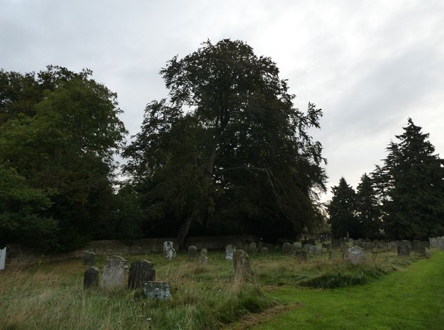
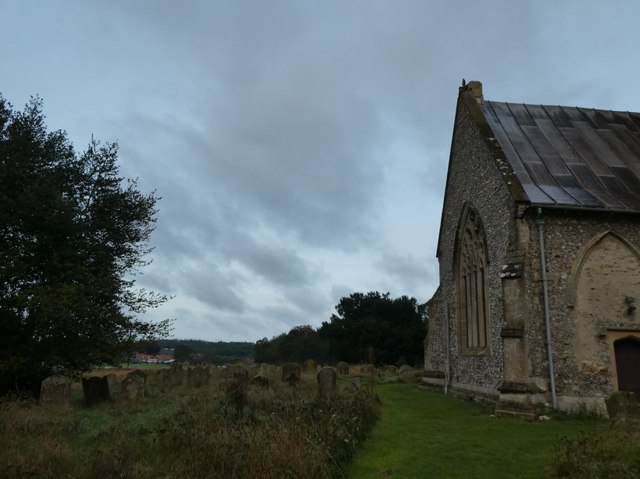
Beech Wood is a charming and picturesque woodland located in the county of Norfolk, England. This natural gem covers an area of approximately 100 acres and is renowned for its thriving population of beech trees, which lend the wood its name. It is situated in close proximity to the village of Beechwood, which further adds to its charm and accessibility.
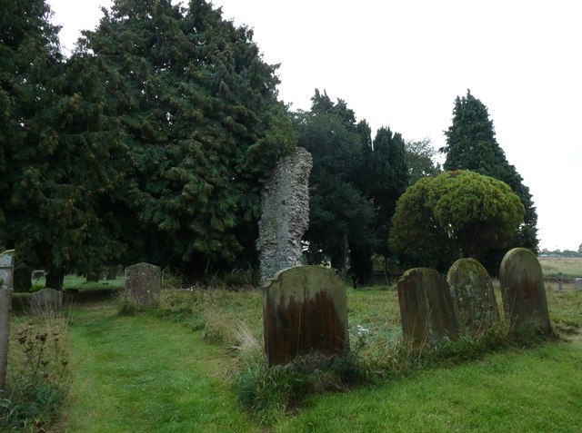
The wood is a haven for nature enthusiasts, hikers, and those seeking solace in the great outdoors. Visitors are greeted by a dense canopy of towering beech trees, which provide ample shade during the summer months and create a captivating atmosphere throughout the year. The forest floor is a carpet of vibrant green moss and delicate wildflowers, adding to the enchanting ambiance.
Beech Wood is home to a diverse range of wildlife, including various bird species, rabbits, squirrels, and even deer. The woodland's tranquil setting and abundance of natural resources make it an ideal habitat for these animals. Birdwatchers are in for a treat, as the wood attracts a variety of feathered creatures, including woodpeckers, nuthatches, and jays.
The wood is crisscrossed by a network of well-maintained footpaths, allowing visitors to explore its beauty at their own pace. These paths lead to hidden clearings, babbling brooks, and secluded picnic spots, offering the perfect opportunity to relax and soak in the peaceful atmosphere. Beech Wood truly is a slice of paradise for nature lovers and a cherished destination for locals and tourists alike.
If you have any feedback on the listing, please let us know in the comments section below.
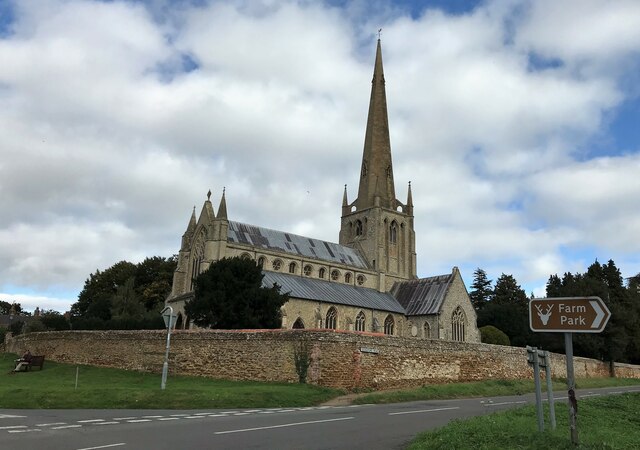
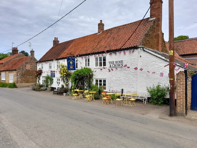
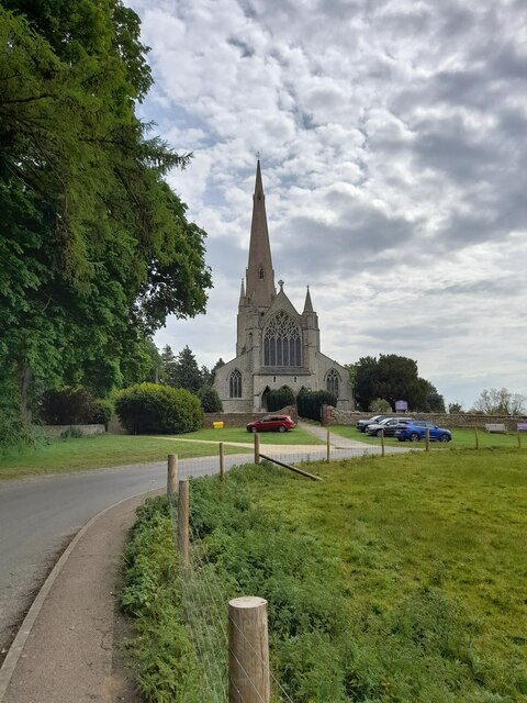
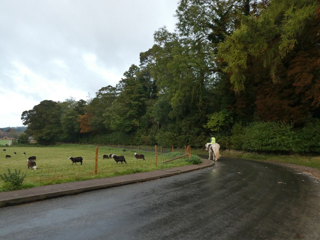
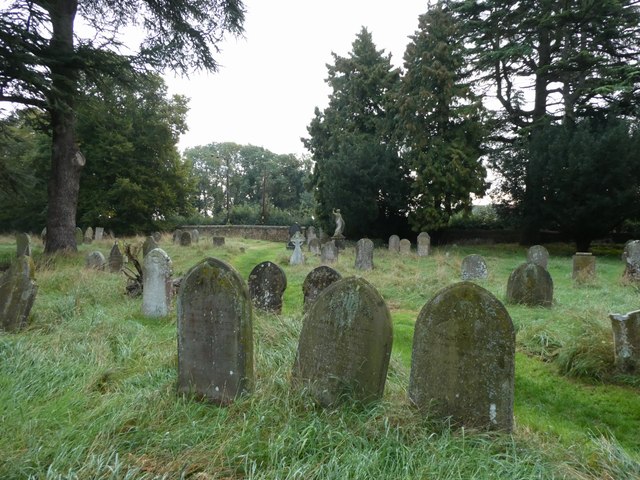
Beech Wood Images
Images are sourced within 2km of 52.887186/0.52392446 or Grid Reference TF6935. Thanks to Geograph Open Source API. All images are credited.

Beech Wood is located at Grid Ref: TF6935 (Lat: 52.887186, Lng: 0.52392446)
Administrative County: Norfolk
District: King's Lynn and West Norfolk
Police Authority: Norfolk
What 3 Words
///octagonal.crafts.fatigued. Near Snettisham, Norfolk
Nearby Locations
Related Wikis

Snettisham Hoard
The Snettisham Hoard or Snettisham Treasure is a series of discoveries of Iron Age precious metal, found in the Snettisham area of the English county of...
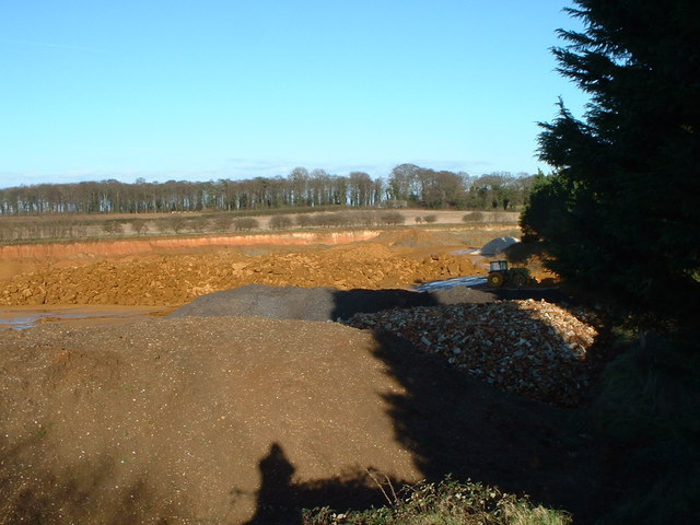
Snettisham Carstone Quarry
Snettisham Carstone Quarry is an 11-hectare (27-acre) biological Site of Special Scientific Interest north of King's Lynn in Norfolk. It is in the Norfolk...
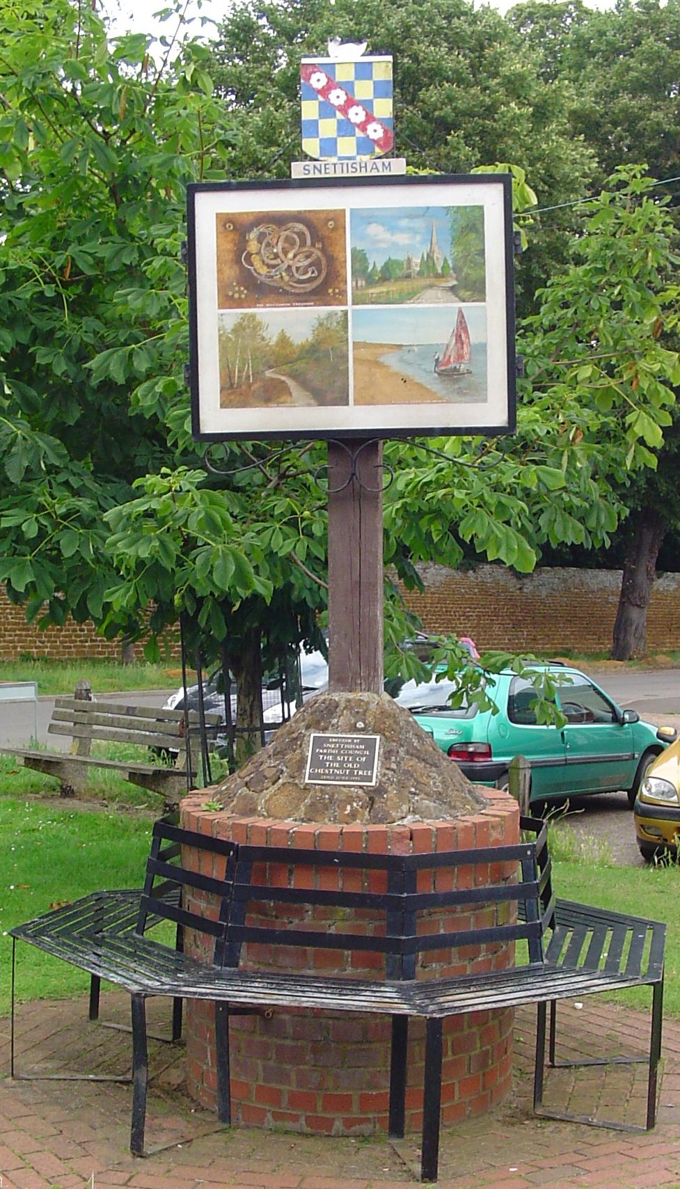
Snettisham
Snettisham is a village and civil parish in the English county of Norfolk. It is located near the west coast of Norfolk, some 5 miles (8.0 km) south of...

Wild Ken Hill
Wild Ken Hill is a rewilding and regenerative agriculture project located in Norfolk, England, at the edge of The Wash. == History == The name Ken Hill...
Nearby Amenities
Located within 500m of 52.887186,0.52392446Have you been to Beech Wood?
Leave your review of Beech Wood below (or comments, questions and feedback).