Holder Carr
Wood, Forest in Norfolk King's Lynn and West Norfolk
England
Holder Carr
Holder Carr is a quaint village located in the county of Norfolk, England. Nestled amidst the serene and picturesque countryside, it is known for its abundant woodlands and forested areas, hence the name "Holder Carr, Norfolk (Wood, Forest)." The village is situated in a low-lying area, surrounded by rolling hills and meandering streams, creating a tranquil and idyllic atmosphere.
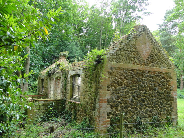
Holder Carr boasts a rich history dating back several centuries. Its origins can be traced back to medieval times, with evidence of a settlement existing in the area since at least the 12th century. Over the years, the village has grown and developed, yet it has managed to retain its rustic charm and traditional character.
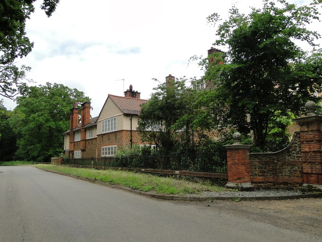
The village is primarily residential, with a small population of friendly and welcoming locals. The architecture of the houses reflects the village's historical roots, with some buildings dating back to the Tudor and Georgian eras. The community is close-knit, with a strong sense of community spirit and pride in their surroundings.
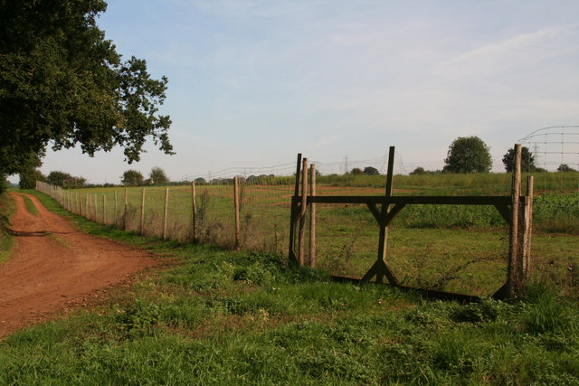
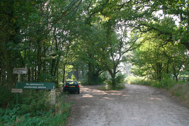
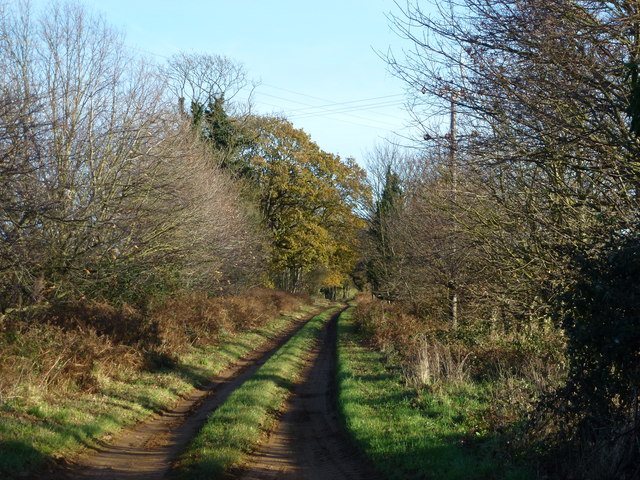
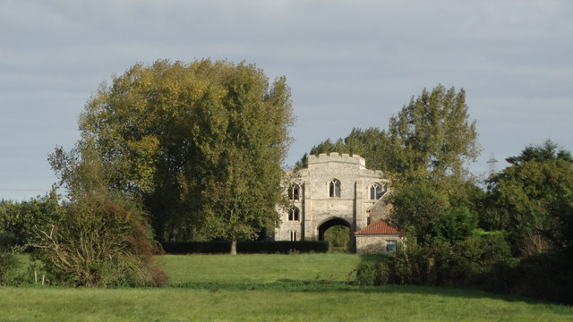
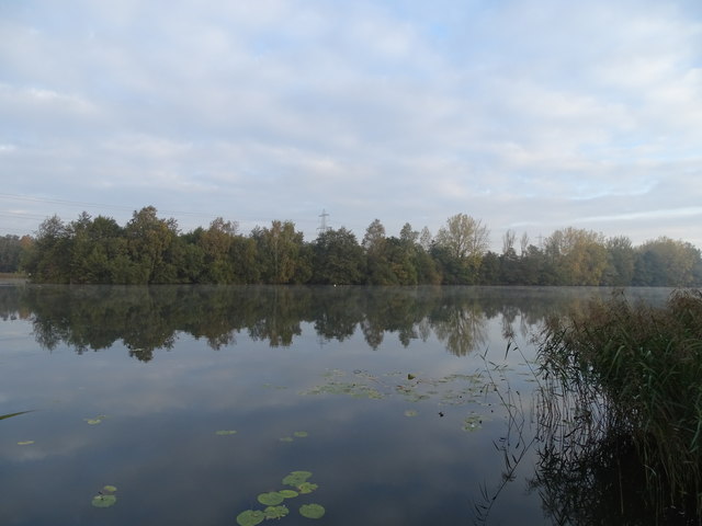
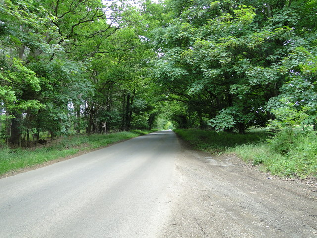
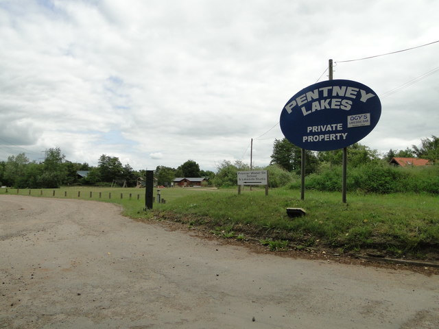
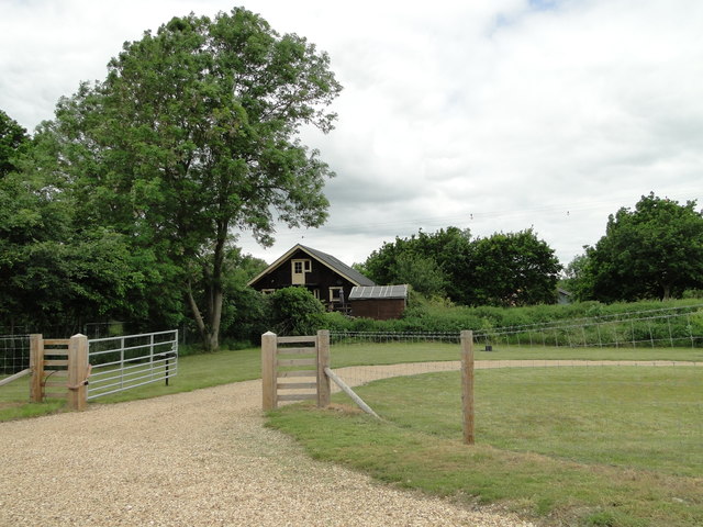
The woodlands surrounding Holder Carr are a prominent feature of the village. They provide a haven for nature enthusiasts and outdoor lovers, offering numerous walking trails and opportunities for wildlife spotting. The forested areas are home to a variety of flora and fauna, including ancient oak trees, wildflowers, and various bird species.
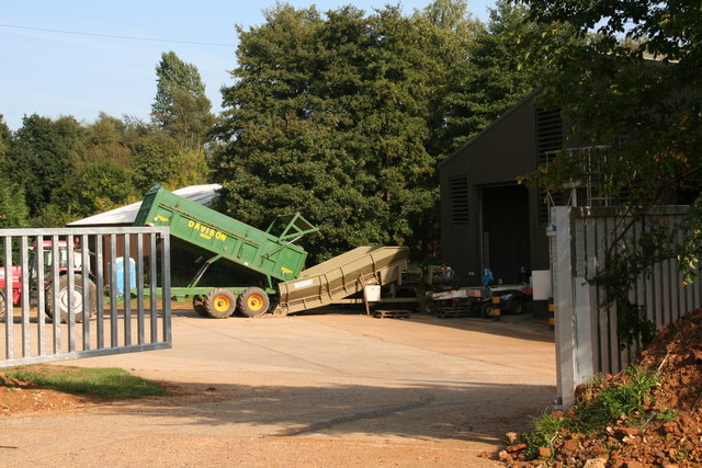
Despite its rural setting, Holder Carr benefits from good transport links, making it easily accessible from nearby towns and cities. The village also has a few amenities, including a local pub and a village hall, where residents gather for social events and community activities.
In summary, Holder Carr, Norfolk (Wood, Forest) is a delightful village immersed in natural beauty. With its rich history, charming architecture, and lush woodlands, it offers a peaceful retreat for those seeking a slower pace of life and a connection to nature.
If you have any feedback on the listing, please let us know in the comments section below.
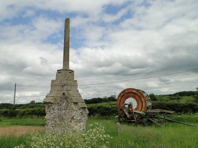
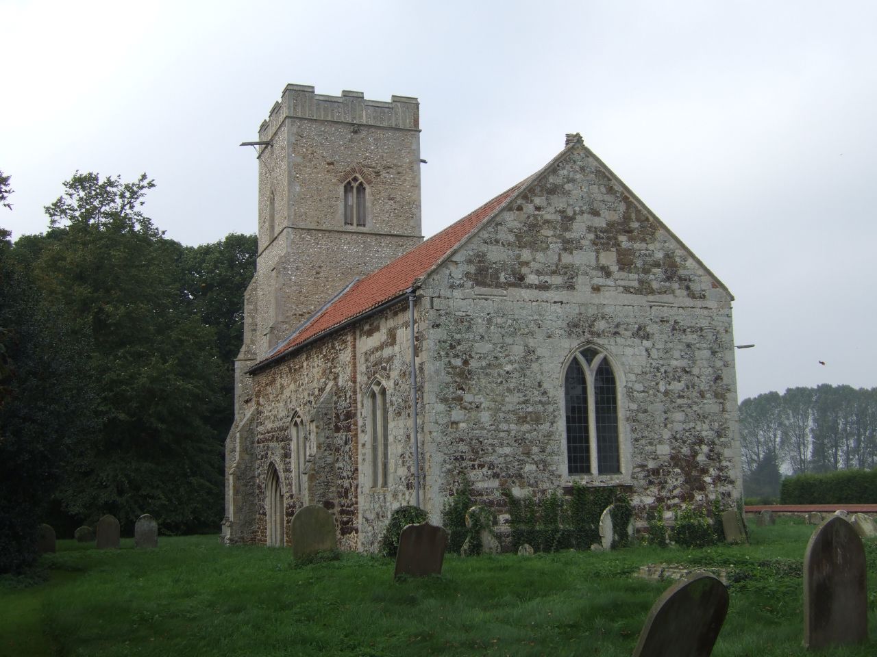
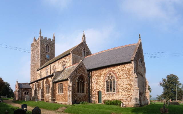
Holder Carr Images
Images are sourced within 2km of 52.688727/0.50995936 or Grid Reference TF6913. Thanks to Geograph Open Source API. All images are credited.


Holder Carr is located at Grid Ref: TF6913 (Lat: 52.688727, Lng: 0.50995936)
Administrative County: Norfolk
District: King's Lynn and West Norfolk
Police Authority: Norfolk
What 3 Words
///overhear.defenders.converged. Near Narborough, Norfolk
Nearby Locations
Related Wikis
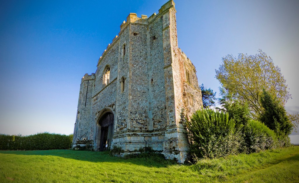
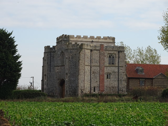
Pentney Priory
Pentney Priory was an Augustinian priory at Pentney in the district of King's Lynn and West Norfolk, Norfolk, England. The ruins of the priory, mostly...
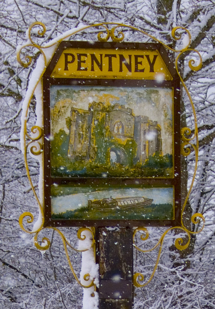
Pentney
Pentney is a village and civil parish in the English county of Norfolk, located about 8 miles (13 km) south east of King's Lynn placing it about halfway...

Blackborough Priory
Blackborough Priory was a Benedictine monastic house in Norfolk, England, about 5 miles or 8 km south east of King's Lynn. The Ordnance Survey map shows...
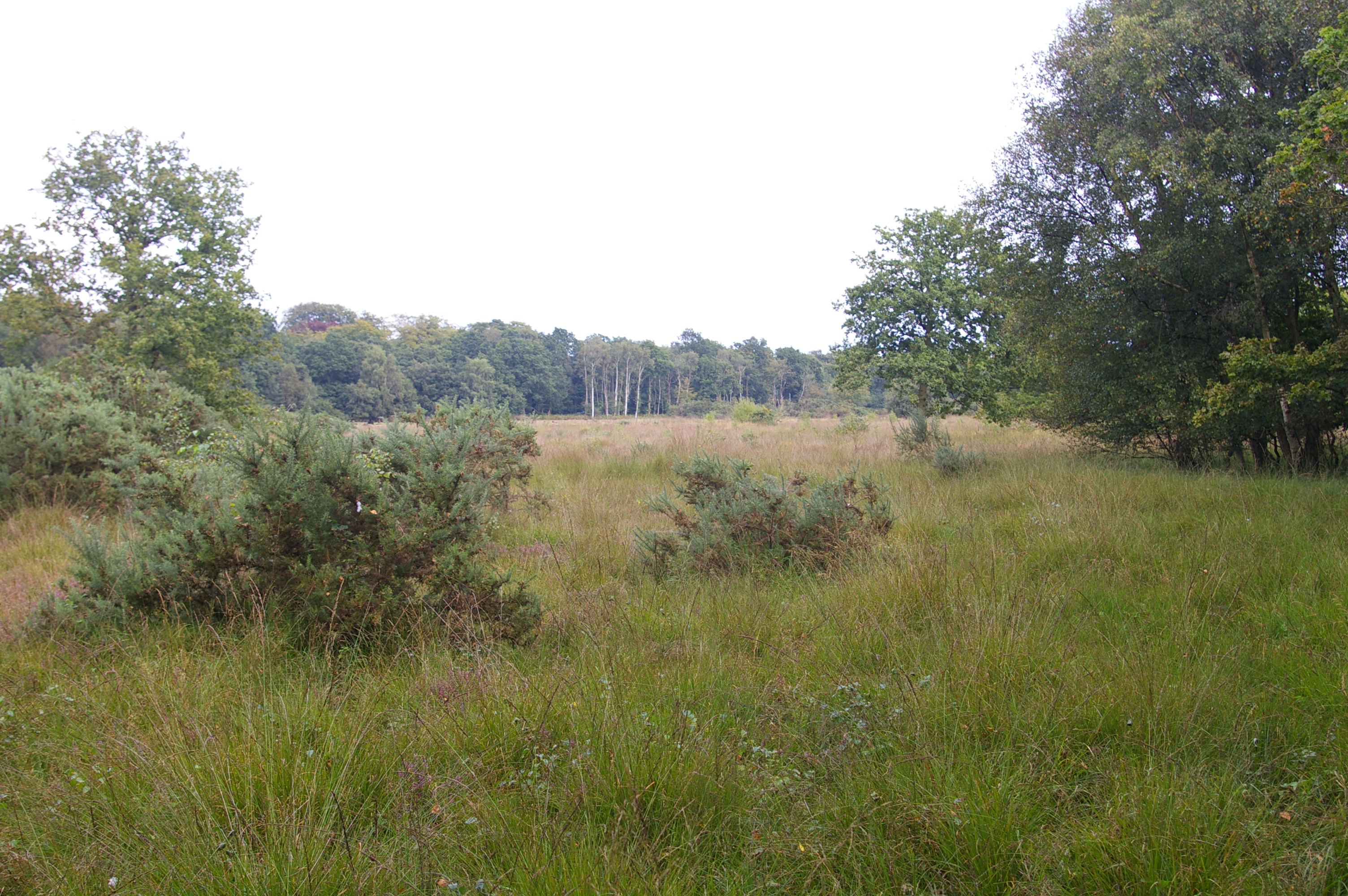
East Winch Common
East Winch Common is a 26.1-hectare (64-acre) biological Site of Special Scientific Interest south-east of King's Lynn in Norfolk. It is common land and...
West Bilney
West Bilney is a village and former civil parish on the A47 road, 32 miles (51 km) west of Norwich, now in the parish of East Winch, in the King's Lynn...

Blackborough End Pit
Blackborough End Pit is a 13.2-hectare (33-acre) geological Site of Special Scientific Interest south-east of King's Lynn in Norfolk. It is a Geological...
East Winch
East Winch is a village and civil parish in the English county of Norfolk. The village is located 4.9 miles (7.9 km) south-east of King's Lynn and 34 miles...

Marham
Marham is a village and civil parish in the English county of Norfolk, approximate 12 miles (19 km) away from King's Lynn. An RAF station, RAF Marham,...
Nearby Amenities
Located within 500m of 52.688727,0.50995936Have you been to Holder Carr?
Leave your review of Holder Carr below (or comments, questions and feedback).