Cole Wood

Wood, Forest in Kent Gravesham

England

Cole Wood

Cobham mausoleum Deep in Cobham woods stands this Neo-Classical style mausoleum.

This mausoleum was built on the instructions of the 3rd Earl of Darnley by architect James Watt in 1786.
Cobham mausoleum Credit: Silver fox

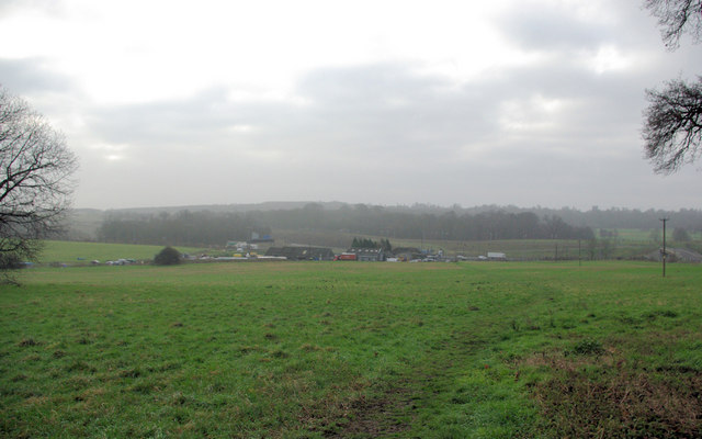
Cole Wood, Kent, also known as Wood or Forest, is a picturesque area located in the county of Kent, England. Situated near the village of Cole, this woodland is renowned for its natural beauty and rich biodiversity.

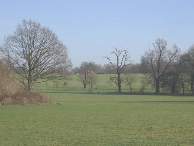
Covering an area of approximately 100 acres, Cole Wood is primarily composed of deciduous trees such as oak, beech, and birch. The towering trees create a dense canopy that provides a cool and shaded environment, especially during the summer months. The forest floor is adorned with a variety of flora, including bluebells, ferns, and wild garlic, adding to the enchanting atmosphere of the woodland.

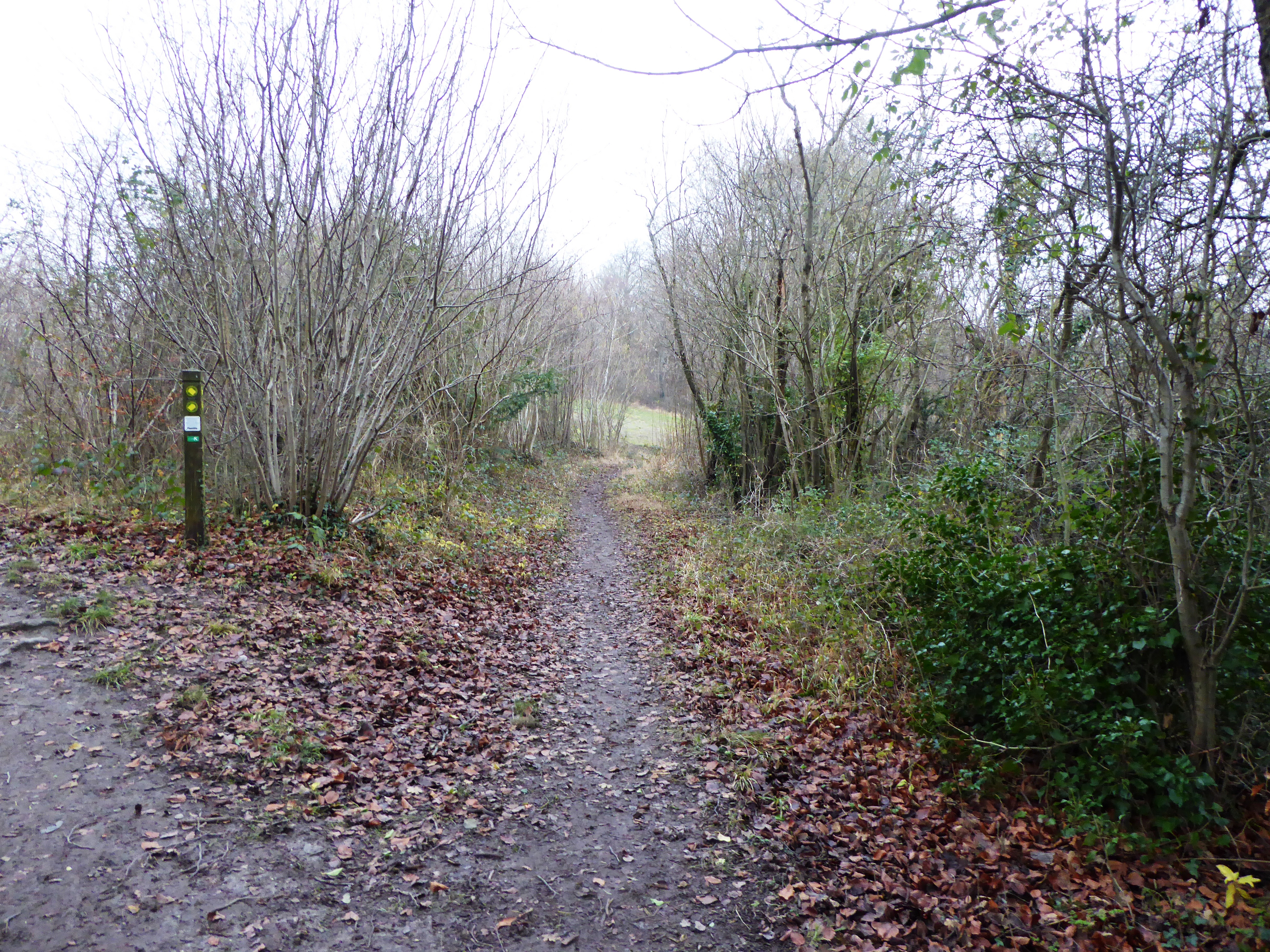
Cole Wood offers a tranquil escape for nature enthusiasts and hikers alike. It features a network of well-maintained footpaths, allowing visitors to explore the area and admire its diverse wildlife. The wood is home to a plethora of species, including deer, foxes, badgers, and a wide array of bird species, making it a popular spot for birdwatching.

In addition to its natural beauty, Cole Wood holds historical significance. It is believed to have been part of the ancient Saxon forest of Andredsweald, which once covered a vast area in southern England. The wood has witnessed centuries of change and continues to be a cherished natural resource in the local community.

Overall, Cole Wood, Kent, is a captivating woodland that offers a serene and idyllic setting for visitors to reconnect with nature. Its breathtaking scenery, diverse wildlife, and historical significance make it a must-visit destination for those seeking solace in the beauty of the natural world.

If you have any feedback on the listing, please let us know in the comments section below.

Cole Wood Images

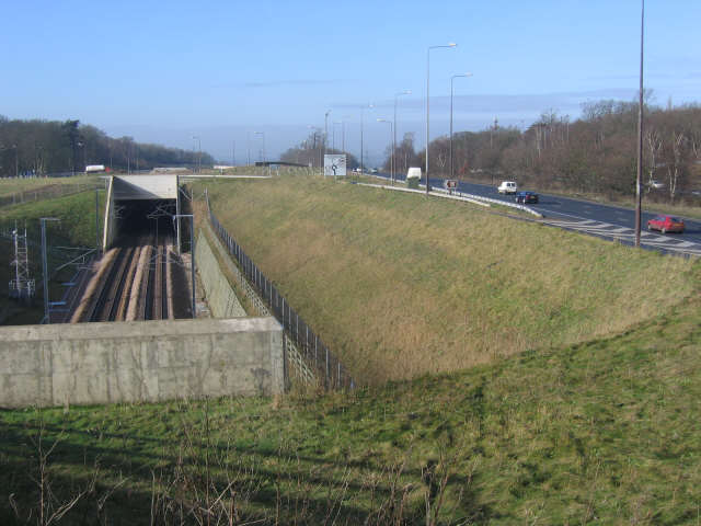
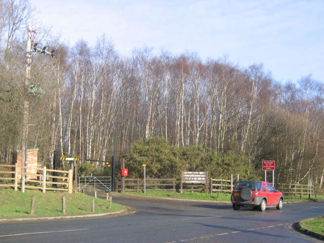
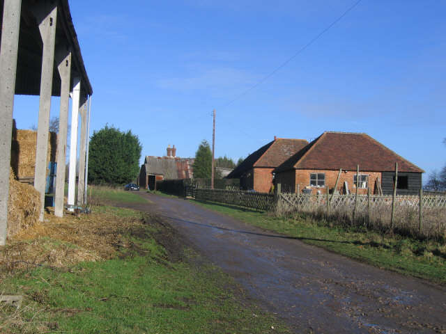
Images are sourced within 2km of 51.395428/0.43850984 or Grid Reference TQ6969. Thanks to Geograph Open Source API. All images are credited.

Cobham mausoleum Deep in Cobham woods stands this Neo-Classical style mausoleum.

This mausoleum was built on the instructions of the 3rd Earl of Darnley by architect James Watt in 1786.
Cobham mausoleum
Deep in Cobham woods stands this Neo-Classical style mausoleum. This mausoleum was built on the instructions of the 3rd Earl of Darnley by architect James Watt in 1786.
Lower Bush Looking south across the London - Chatham railway and Lower Bush.
Lower Bush
Looking south across the London - Chatham railway and Lower Bush.
CTRL and A2 at Shorne The CTRL (Channel Tunnel Rail Link) running parallel to the A2 at the (road) junction for Shorne and Cobham.
CTRL and A2 at Shorne
The CTRL (Channel Tunnel Rail Link) running parallel to the A2 at the (road) junction for Shorne and Cobham.
Entrance to Shorne Wood Country Park
Grounds of Cobham Hall Cobham Hall is a private school with extensive grounds - viewed here from the road along the western edge of the estate.
Grounds of Cobham Hall
Cobham Hall is a private school with extensive grounds - viewed here from the road along the western edge of the estate.
Cobham Hall Lodge The lodge to Cobham Hall (now a school) is part of a farmstead.
Cobham Hall Lodge
The lodge to Cobham Hall (now a school) is part of a farmstead.
Lodge Farm, Cobham A byway runs through the farm buildings.
Lodge Farm, Cobham
A byway runs through the farm buildings.
View to Cobham church Fields south of Lodge Farm, with a view of Cobham church 1km to the west.
View to Cobham church
Fields south of Lodge Farm, with a view of Cobham church 1km to the west.
Byway at Cobham Park The contours on the map indicate the gradient of this byway which is steeper than in might look in this view.
Byway at Cobham Park
The contours on the map indicate the gradient of this byway which is steeper than in might look in this view.
View towards Park Pale Park Pale is by the A2 just about where it becomes the M2. The Channel Tunnel Rail Link (CTRL) may also mistily be seen.
View towards Park Pale
Park Pale is by the A2 just about where it becomes the M2. The Channel Tunnel Rail Link (CTRL) may also mistily be seen.
Stile, Footpath Across Railway, Cuxton This is a site where a public footpath crosses the London to Chatham and Dover railway line. You need to keep alert and get across smartly -- trains come past here at 60mph.
Stile, Footpath Across Railway, Cuxton
This is a site where a public footpath crosses the London to Chatham and Dover railway line. You need to keep alert and get across smartly -- trains come past here at 60mph.
Footpath down to Railbridge, near Lower Bush Taken from footpath from Whiteleaves Wood, Mill Hill to Cobham Park.
Footpath leads down to bush Road in Lower Bush. Road in background is Upper Bush Road leading to Upper Bush Farm, on other side of the valley.
Footpath down to Railbridge, near Lower Bush
Taken from footpath from Whiteleaves Wood, Mill Hill to Cobham Park. Footpath leads down to bush Road in Lower Bush. Road in background is Upper Bush Road leading to Upper Bush Farm, on other side of the valley.
Track along Cobham Park Great Wood Hedge in centre of photo, divides Nor Wood (closest to viewer) from Lodge Wood (further away). Also a County Boundary, dividing Medway (closest) and Gravesham (further).
Track along Cobham Park Great Wood
Hedge in centre of photo, divides Nor Wood (closest to viewer) from Lodge Wood (further away). Also a County Boundary, dividing Medway (closest) and Gravesham (further).
Darnley's Mausoleum from Norwood Grove On footpath from Cuxton to Shorne in Great Wood of Cobham Park.
Darnley's Mausoleum from Norwood Grove
On footpath from Cuxton to Shorne in Great Wood of Cobham Park.
Darnley Mausoleum under restoration On footpath from Strood (heading left) to Cobham (heading right).
Roof now repaired as well as other details.
Will look great after repairs.
Darnley Mausoleum under restoration
On footpath from Strood (heading left) to Cobham (heading right). Roof now repaired as well as other details. Will look great after repairs.
New Entrance to Darnley's Mausoleum On footpath from (heading left) Strood, towards (heading right) Cobham.
In Great Woods of Cobham Park.
New Entrance to Darnley's Mausoleum
On footpath from (heading left) Strood, towards (heading right) Cobham. In Great Woods of Cobham Park.
Rochester and Cobham Golf Course Taken from footpath in Cobham Park from Cobham (heading right) to Strood (heading left). Footpath beside overgrown hedge.
Cobham Hall (now a school) in background.
Rochester and Cobham Golf Course
Taken from footpath in Cobham Park from Cobham (heading right) to Strood (heading left). Footpath beside overgrown hedge. Cobham Hall (now a school) in background.
Footpath junction near Lodge Farm On footpath from Cobham (behind viewer), to Darnley's Mausoleum and on to Strood, via CTRL and M2. Kissing gate on left goes to Shorne via a golf course. The footpath on the right goes to Lower Luddesdown via Cobhambury Wood.
Footpath junction near Lodge Farm
On footpath from Cobham (behind viewer), to Darnley's Mausoleum and on to Strood, via CTRL and M2. Kissing gate on left goes to Shorne via a golf course. The footpath on the right goes to Lower Luddesdown via Cobhambury Wood.
Show me another place!

Cole Wood is located at Grid Ref: TQ6969 (Lat: 51.395428, Lng: 0.43850984)

Administrative County: Kent

District: Gravesham

Police Authority: Kent

What 3 Words

///chase.comical.grapes. Near Strood, Kent

Related Wikis

Cobham Woods

Cobham Woods is a 242.7 hectares (600 acres) biological Site of Special Scientific Interest on the western outskirts of Rochester in Kent. It is in the...

Darnley Mausoleum

The Darnley Mausoleum, or Cobham Mausoleum as it is often now referred to, is a Grade I Listed building, now owned by the National Trust and situated in...

Great Crabbles Wood

Great Crabbles Wood is a 33-hectare (82-acre) biological Site of Special Scientific Interest north-west of Rochester in Kent.Most of the wood is mixed...

Cobham Hall School

Cobham Hall School is a private day and boarding school in the English parish of Cobham, Kent, for girls only in Years 7 to 11 and co-educational in the...

Nearby Amenities

Located within 500m of 51.395428,0.43850984
Knight's Place
Place: hamlet
Source: npe
Lat/Long: 51.3937216/0.4444196
Barrier: kissing_gate
Foot: yes
Material: metal
Lat/Long: 51.3927033/0.4410737
Barrier: kissing_gate
Lat/Long: 51.3931511/0.4416785
Barrier: stile
Lat/Long: 51.3936096/0.4436504
Colour: red and white
Fixme: EW location only good to ~20m but NS location on north side of fence is fine.
Marker: aerial
Material: plastic
Utility: gas
Lat/Long: 51.3969899/0.4431414
Colour: white
Fixme: This is clearly a bright white utility marker -- but not sure what utility. Needs checking on the ground! Is on north side of path, but EW location is uncertain to 15m.
Marker: aerial
Material: plastic
Utility: gas
Lat/Long: 51.3965172/0.4428518
Colour: white
Fixme: This is clearly a utility marker. Not sure what type. Needs checking on the ground! Is on north side of path, but EW location is uncertain to 15m.
Marker: post
Material: plastic
Utility: gas
Lat/Long: 51.3965148/0.4428597
Colour: yellow
Marker: post
Material: concrete
Utility: gas
Lat/Long: 51.3971414/0.4440233
The data included in this document is from www.openstreetmap.org. The data is made available under ODbL.

Have you been to Cole Wood?

Leave your review of Cole Wood below (or comments, questions and feedback).