Dadle's Wood

Wood, Forest in Norfolk King's Lynn and West Norfolk

England

Dadle's Wood

Well Hall Lane, Ashwicken near King's Lynn
Well Hall Lane, Ashwicken near King's Lynn Credit: Richard Humphrey

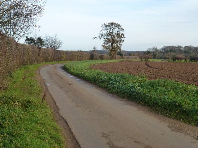
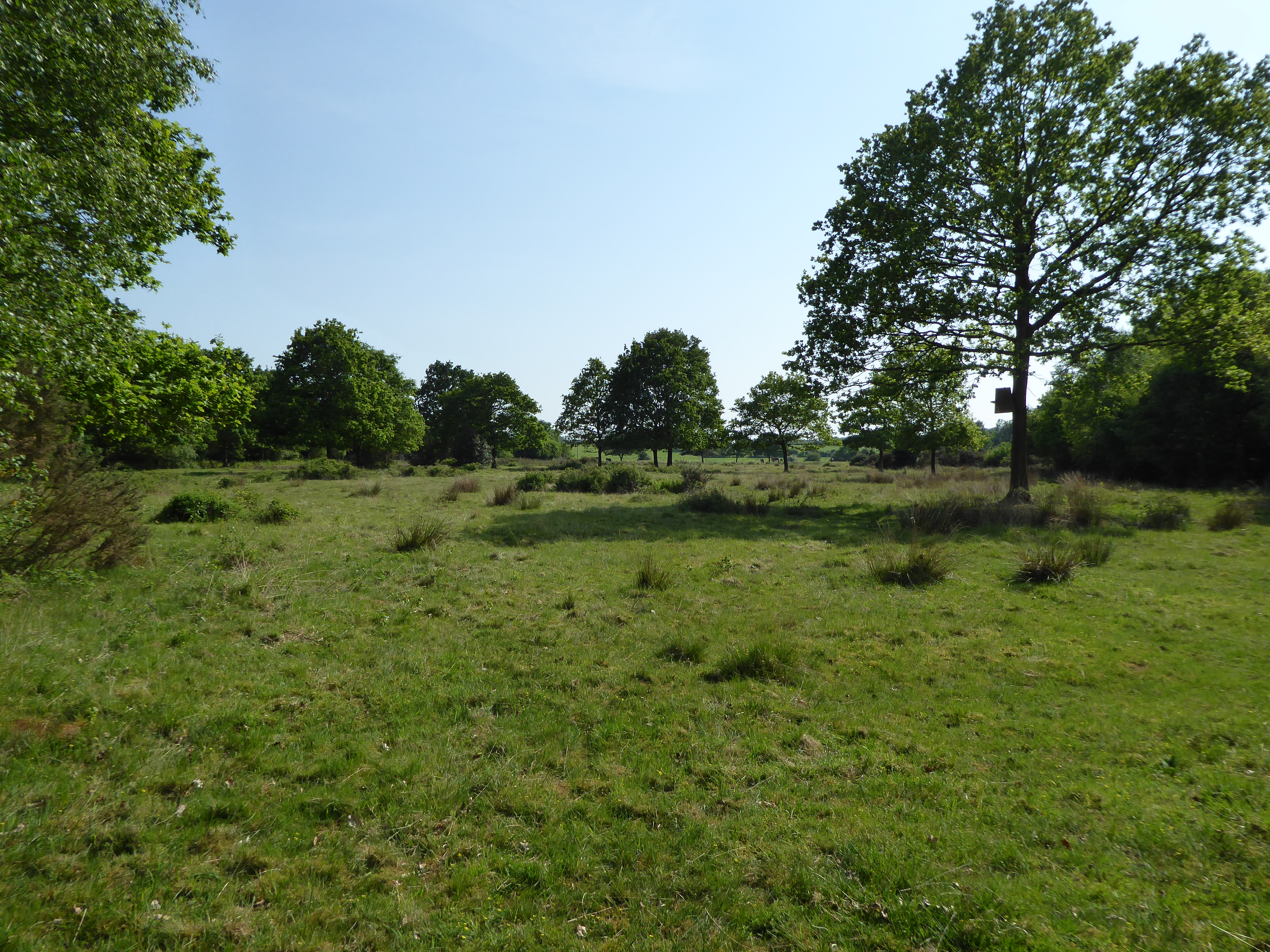
Dadle's Wood, Norfolk is a picturesque woodland located in the eastern region of England. Covering an area of approximately 100 acres, this enchanting forest is known for its diverse flora and fauna, making it a popular destination among nature enthusiasts.

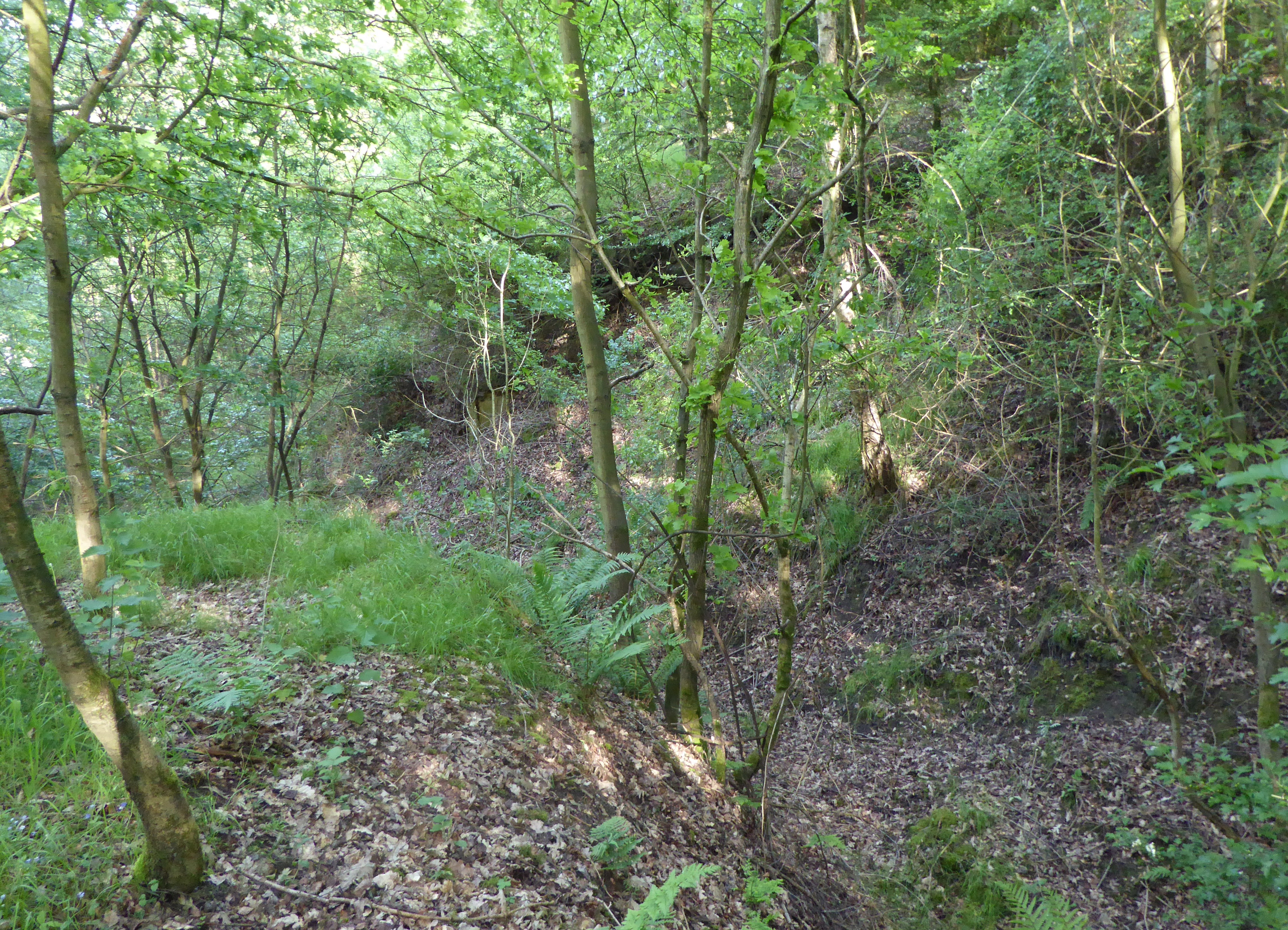
The wood is predominately composed of deciduous trees, including oak, beech, and ash, which create a dense canopy that provides shade and shelter to the various wildlife species that call this woodland home. The forest floor is carpeted with a rich assortment of wildflowers, adding a burst of color to the surroundings during the spring and summer months.

Dadle's Wood is also home to a thriving ecosystem that includes a wide range of animal species. Visitors may catch glimpses of deer, rabbits, foxes, and a variety of bird species such as woodpeckers and owls. The tranquil atmosphere of the wood, combined with the soothing sounds of birdsong, makes it an ideal location for birdwatching and wildlife photography.

The wood offers several well-maintained walking trails that meander through its serene landscape, providing visitors with opportunities for leisurely strolls or more challenging hikes. These paths are clearly marked and wind their way through ancient trees, offering glimpses of hidden ponds and streams along the way. The wood is also equipped with picnic areas, making it an excellent spot for families and friends to enjoy a day out in nature.

Overall, Dadle's Wood, Norfolk is a haven of natural beauty, offering visitors the chance to escape the hustle and bustle of everyday life and immerse themselves in the tranquility of this idyllic woodland.

If you have any feedback on the listing, please let us know in the comments section below.
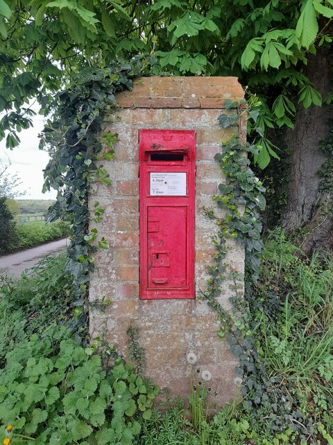
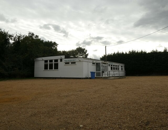
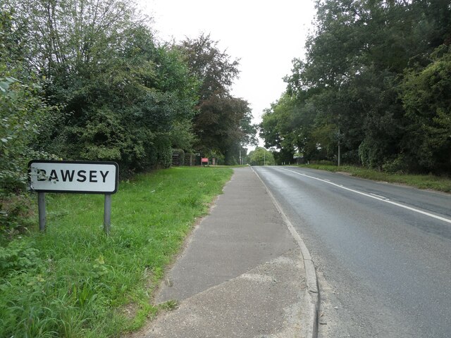
Dadle's Wood Images

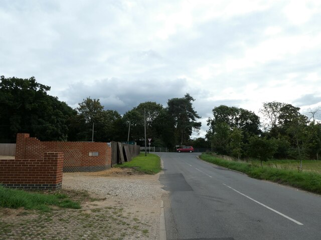
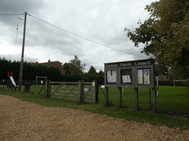
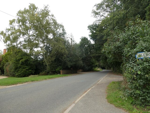
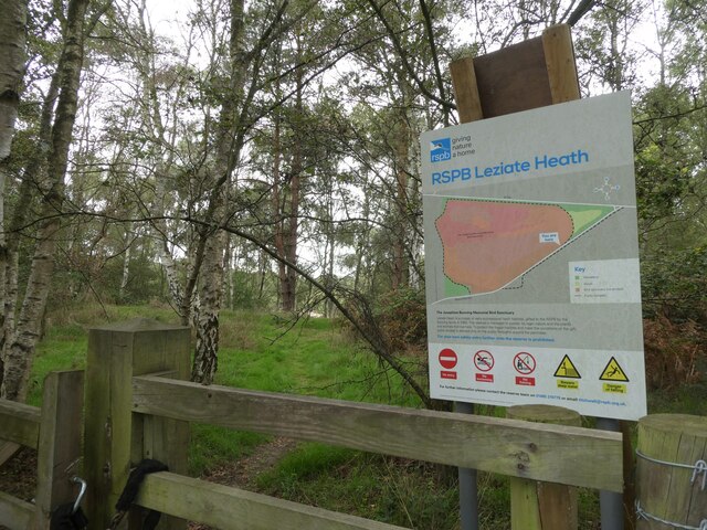
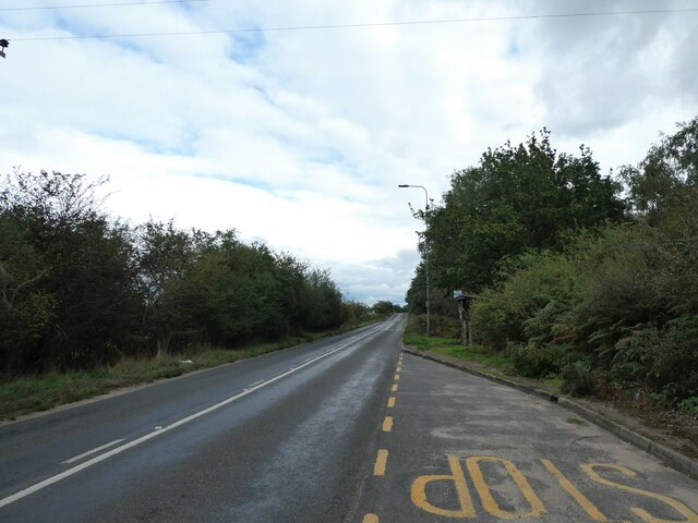
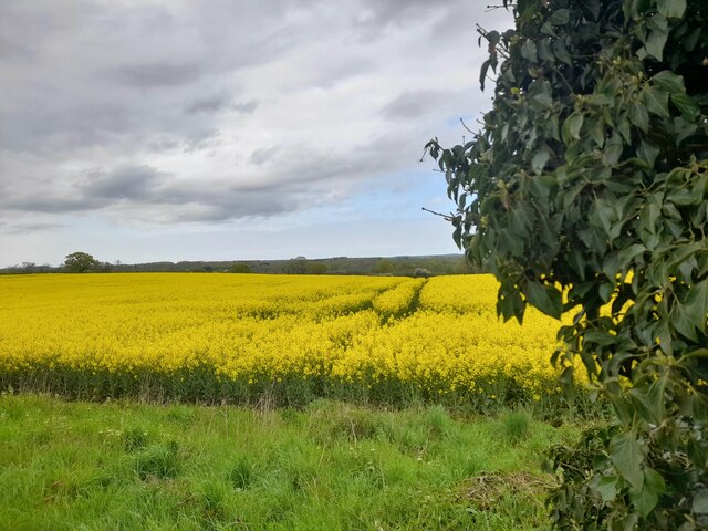
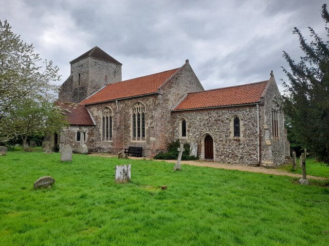
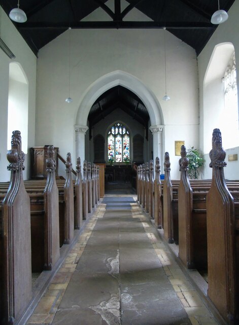
Images are sourced within 2km of 52.745725/0.51173831 or Grid Reference TF6919. Thanks to Geograph Open Source API. All images are credited.

Well Hall Lane, Ashwicken near King's Lynn
Postbox at Ashwicken PE32 75. Royal Mail list this box as 'Ashwicken'.
Postbox at Ashwicken
PE32 75. Royal Mail list this box as 'Ashwicken'.
Leziate Village Hall: mid-September 2022 During a great walking week-end in Norfolk with two friends from my school days (1972 - 1979) there were times when I nipped off in the car to look at churches and other historical features: these are they!
Leziate Village Hall: mid-September 2022
During a great walking week-end in Norfolk with two friends from my school days (1972 - 1979) there were times when I nipped off in the car to look at churches and other historical features: these are they!
Bawsey: the city limits During a great walking week-end in Norfolk with two friends from my school days (1972 - 1979) there were times when I nipped off in the car to look at churches and other historical features: these are they!
Bawsey: the city limits
During a great walking week-end in Norfolk with two friends from my school days (1972 - 1979) there were times when I nipped off in the car to look at churches and other historical features: these are they!
Looking along Leziate Drove towards the B1145 During a great walking week-end in Norfolk with two friends from my school days (1972 - 1979) there were times when I nipped off in the car to look at churches and other historical features: these are they!
Looking along Leziate Drove towards the B1145
During a great walking week-end in Norfolk with two friends from my school days (1972 - 1979) there were times when I nipped off in the car to look at churches and other historical features: these are they!
Noticeboard by the play area
Looking north-east towards Brow of the Hill
Nature reserve at Brow of the Hill
Looking eastwards along the B1145
A Glimpse of Norfolk Near Ashwicken.
A Glimpse of Norfolk
Near Ashwicken.
All Saints, Ashwicken I was particularly taken with this charming rural church.
All Saints, Ashwicken
I was particularly taken with this charming rural church.
All Saints, Ashwicken An interior view of this charming rural church.
All Saints, Ashwicken
An interior view of this charming rural church.
All Saints, Ashwicken A view of the charming west window.
All Saints, Ashwicken
A view of the charming west window.
OS Benchmark Recorded on Benchmark Database as 'Ashwicken, All Saints Church'.
OS Benchmark
Recorded on Benchmark Database as 'Ashwicken, All Saints Church'.
Produce Stand A roadside honesty box at Ashwicken.
Produce Stand
A roadside honesty box at Ashwicken.
Near Boughmore Farm There is a public footpath (and farm access) to the left
Near Boughmore Farm
There is a public footpath (and farm access) to the left
Border Lane Farm Access The access is also a public footpath.
Border Lane Farm Access
The access is also a public footpath.
Watery Lane, Pott Row, Norfolk
Show me another place!

Dadle's Wood is located at Grid Ref: TF6919 (Lat: 52.745725, Lng: 0.51173831)

Administrative County: Norfolk

District: King's Lynn and West Norfolk

Police Authority: Norfolk

What 3 Words

///imperious.pigment.opera. Near Grimston, Norfolk

Nearby Locations

Dadle's Wood Leziate

Related Wikis

Ashwicken

Ashwicken is a small village and former civil parish, now in the parish of Leziate, in the King's Lynn and West Norfolk district, in the county of Norfolk...

Leziate, Sugar and Derby Fens

Leziate, Sugar and Derby Fens is an 87.9-hectare (217-acre) biological Site of Special Scientific Interest east of King's Lynn in Norfolk. These fens...

Bawsey SSSI

Bawsey is a 2.6-hectare (6.4-acre) geological Site of Special Scientific Interest east of Kings' Lynn in Norfolk. It is a Geological Conservation Review...

Bawsey

Bawsey is a village and civil parish in the English county of Norfolk. The village is about 4 miles (6.4 km) east of the town of King's Lynn and 40 miles...

Nearby Amenities

Located within 500m of 52.745725,0.51173831
Bus Stop
Church Lane, adj
Naptan AtcoCode: 2900L065
Naptan Bearing: NW
Naptan CommonName: Church Lane
Naptan Indicator: adj
Naptan Landmark: bus shelter
Naptan Locality: Ashwicken
Naptan NaptanCode: nfodawgj
Naptan Street: Lynn Road
Naptan Verified: no
Source: naptan_import
Lat/Long: 52.7463682/0.5168124
Church Lane, opp
Naptan AtcoCode: 2900L066
Naptan Bearing: SE
Naptan BusStopType: CUS
Naptan CommonName: Church Lane
Naptan Indicator: opp
Naptan Landmark: Church Lane
Naptan Locality: Ashwicken
Naptan NaptanCode: nfodawgm
Naptan Street: Lynn Road
Naptan Verified: no
Source: naptan_import
Lat/Long: 52.7462852/0.517756
Leziate Drove, adj
Naptan AtcoCode: 2900L068
Naptan Bearing: E
Naptan BusStopType: CUS
Naptan CommonName: Leziate Drove
Naptan Indicator: adj
Naptan Landmark: Leziate Drove
Naptan Locality: Ashwicken
Naptan NaptanCode: nfodawgt
Naptan Street: Lynn Road
Naptan Verified: no
Source: naptan_import
Lat/Long: 52.7473753/0.5100245
Leziate Drove, opp
Naptan AtcoCode: 2900L069
Naptan Bearing: W
Naptan BusStopType: CUS
Naptan CommonName: Leziate Drove
Naptan Indicator: opp
Naptan Landmark: Leziate Drove
Naptan Locality: Ashwicken
Naptan NaptanCode: nfodawgw
Naptan Street: Lynn Road
Naptan Verified: no
Source: naptan_import
Lat/Long: 52.7472522/0.5094691
Fixme: Does a Public Footpath run NE from here?
Note: Definitive Statement and historic OS 1:25k suggest Leziate FP 24 ends here.
Lat/Long: 52.7461072/0.5044679
Fixme: Does a Public Footpath run SW from here?
Note: Definitive Statement and historic OS 1:25k suggest Leziate FP 24 starts here.
Lat/Long: 52.7473753/0.5064775
The data included in this document is from www.openstreetmap.org. The data is made available under ODbL.

Have you been to Dadle's Wood?

Leave your review of Dadle's Wood below (or comments, questions and feedback).