Upend Wood

Wood, Forest in Cambridgeshire East Cambridgeshire

England

Upend Wood

Property NE of Upend: aerial 2022
Property NE of Upend: aerial 2022 Credit: Simon Tomson

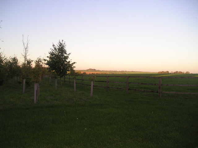
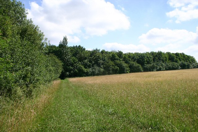
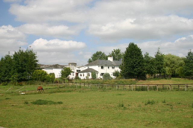
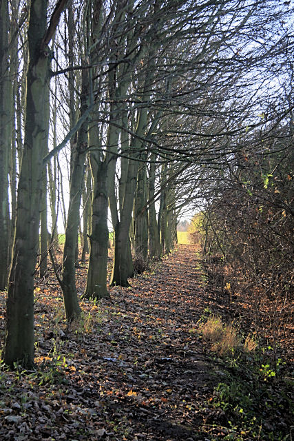
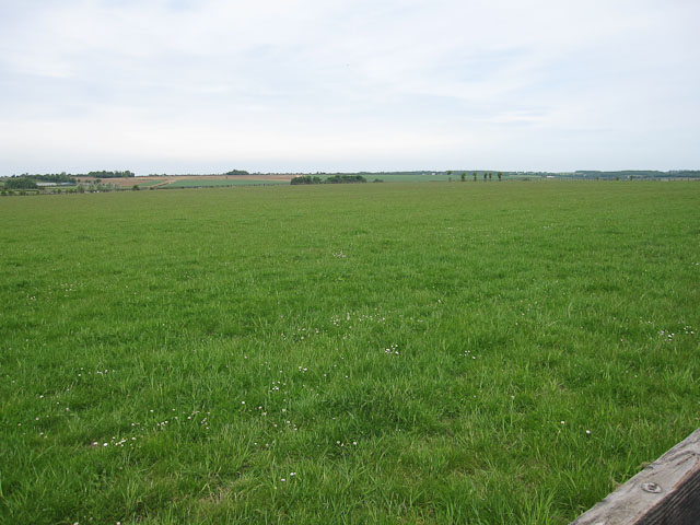
Upend Wood is a small forest located in the county of Cambridgeshire, England. Situated near the village of Wood, it covers an area of approximately 50 acres. The wood is known for its diverse range of flora and fauna, making it a popular destination for nature enthusiasts and wildlife lovers.

The woodland is primarily composed of deciduous trees, such as oak, beech, and birch, which create a beautiful canopy during the warmer months. The forest floor is carpeted with a variety of wildflowers, including bluebells, primroses, and wood anemones, adding bursts of color to the landscape.

A network of well-maintained footpaths winds through the wood, allowing visitors to explore its different sections. These paths provide opportunities for leisurely walks, jogging, and cycling. Some of the trails lead to a small lake within the forest, which is home to a range of aquatic species and attracts migratory birds.

Upend Wood is also known for its rich wildlife. The forest provides a habitat for numerous bird species, including woodpeckers, song thrushes, and tawny owls. Mammals such as foxes, rabbits, and squirrels can be spotted in the wood, along with smaller creatures like hedgehogs and voles.

The wood is managed by a local conservation group, who regularly carry out maintenance work to preserve its natural beauty. They also organize educational events and guided tours to raise awareness about the importance of environmental conservation.

Overall, Upend Wood offers a tranquil and picturesque setting for visitors to immerse themselves in nature and enjoy the peaceful surroundings.

If you have any feedback on the listing, please let us know in the comments section below.
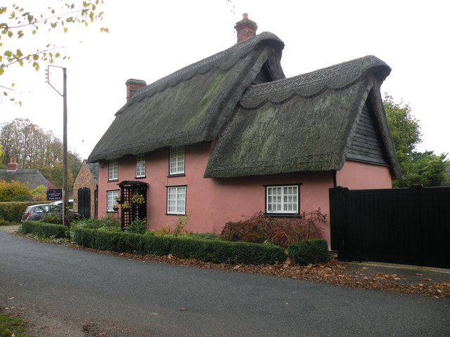
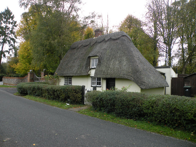
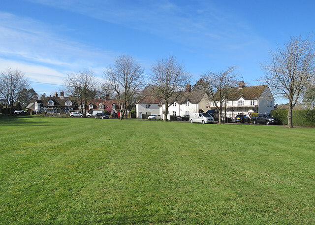
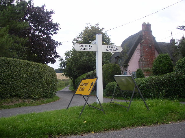
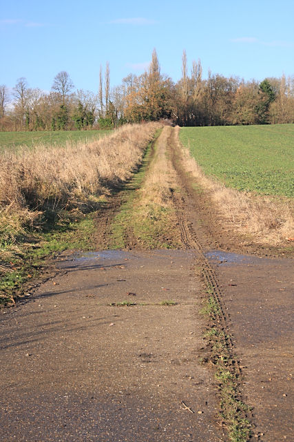
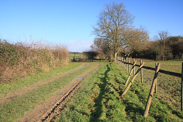
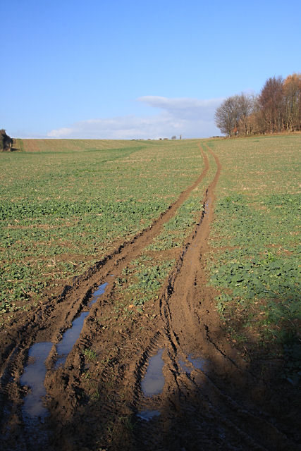
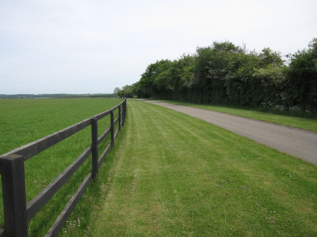
Upend Wood Images

Images are sourced within 2km of 52.19635/0.48014262 or Grid Reference TL6958. Thanks to Geograph Open Source API. All images are credited.

Property NE of Upend: aerial 2022
Big fields on the edge of Cambridgeshire Looking east-southeast from the roadside opposite the farm on Upend Road. Suffolk is not far away.
Big fields on the edge of Cambridgeshire
Looking east-southeast from the roadside opposite the farm on Upend Road. Suffolk is not far away.
A flinty field near Lidgate Looking north-west from the corner of the B1063 and the lane to Upend.
A flinty field near Lidgate
Looking north-west from the corner of the B1063 and the lane to Upend.
Road from Woodditton to Ashley
Well Cottage, Upend Cottage possibly C17. Timber framed and plastered - described on the listed building register with corrugated iron roof but now thatched. Grade II listed.
Well Cottage, Upend
Cottage possibly C17. Timber framed and plastered - described on the listed building register with corrugated iron roof but now thatched. Grade II listed.
Oak Gate, Upend Late C17 or early C18. Timber framed and plastered. Grade II listed.
Oak Gate, Upend
Late C17 or early C18. Timber framed and plastered. Grade II listed.
Gate Cottage, Upend C17. Timber framed and plastered with hipped thatched roof. Grade II listed.
Gate Cottage, Upend
C17. Timber framed and plastered with hipped thatched roof. Grade II listed.
Broad Green: across the green A small settlement near Cheveley, on the eastern edge of Cambridgeshire.
Broad Green: across the green
A small settlement near Cheveley, on the eastern edge of Cambridgeshire.
Upend Looking down the road to Lidgate. Main street (such as it is) runs left to right
Upend
Looking down the road to Lidgate. Main street (such as it is) runs left to right
Sundowner Looking NE across the square
Sundowner
Looking NE across the square
Footpath to Kirtling This path, overgrown in places, links Upend and Kirtling.
Footpath to Kirtling
This path, overgrown in places, links Upend and Kirtling.
Vicarage Farm, Kirtling This stud farm is situated between the villages of Kirtling and Cowlinge.
Vicarage Farm, Kirtling
This stud farm is situated between the villages of Kirtling and Cowlinge.
Footpath to Kirtling The path follows the edge of a wood, alongside a hedge.
Footpath to Kirtling
The path follows the edge of a wood, alongside a hedge.
Track to Moat Farm, Upend This farm track heads northwards from the minor road linking Lidgate and Upend.
Track to Moat Farm, Upend
This farm track heads northwards from the minor road linking Lidgate and Upend.
Footpath to Upend This is near the end of the footpath from Kirtling, as it approaches the minor road linking Lidgate and Upend. Spare posts are resting against the fence.
Footpath to Upend
This is near the end of the footpath from Kirtling, as it approaches the minor road linking Lidgate and Upend. Spare posts are resting against the fence.
Farm track to The Thicket This track across a field follows almost exactly the line of the county boundary, between Cambridgeshire (to the left) and Suffolk.
Farm track to The Thicket
This track across a field follows almost exactly the line of the county boundary, between Cambridgeshire (to the left) and Suffolk.
Footpath towards Hall Farm Around one of the many Stud Farms in the area.
Footpath towards Hall Farm
Around one of the many Stud Farms in the area.
Stud country Close to Newmarket so horses dominate the land use.
Stud country
Close to Newmarket so horses dominate the land use.
Show me another place!

Upend Wood is located at Grid Ref: TL6958 (Lat: 52.19635, Lng: 0.48014262)

Administrative County: Cambridgeshire

District: East Cambridgeshire

Police Authority: Cambridgeshire

What 3 Words

///wound.evolution.letters. Near Newmarket, Suffolk

Nearby Locations

Upend Wood Lodge Hill Wood

Related Wikis

Upend

Upend is a hamlet in the east of Cambridgeshire. It is five miles (8.0 km) south-east of Newmarket and lies in the same parish as Kirtling. Until the...

Kirtling Tower

Kirtling Tower was a medieval castle and Tudor country house in Kirtling, Cambridgeshire, England, of which the gatehouse still remains. == History... ==

Kirtling

Kirtling, together with Kirtling Green and Kirtling Towers, is a scattered settlement in the south-eastern edge of the English county of Cambridgeshire...

Lidgate Castle

Lidgate Castle is a medieval motte and bailey castle in the village of Lidgate, Suffolk, England, built to an unusual quadrangular design. == Details... ==

Related Videos

Monday bank holiday wedding - 27.08.18 Granary Estates

When the wedding is Rock'in - Bohemian Rhapsody come knocking! www.mobile-disco-norfolk.co.uk.

Resin Filled Terracotta (best finish for terracotta).

How to seal a terracotta floor to get the best out of the beauty of the terracotta tiles. Resin filled terracotta lasts a lifetime, is easy to ...

Dalham, Suffolk | Drone Footage

Dalham, Suffolk | Drone Footage. The English countryside on full display with this aerial shot of a magnificent house.

Granary Estate Newmarket Wedding

A wedding in Newmarket Suffolk at The Granary Estates filmed by Suffolk Wedding Videographer Steve Hood Granary Barns.

Nearby Amenities

Located within 500m of 52.19635,0.48014262
Power: pole
Lat/Long: 52.2003735/0.4796764
Power: pole
Lat/Long: 52.2002752/0.4782388
Power: pole
Lat/Long: 52.2001762/0.4767689
Power: pole
Lat/Long: 52.2004602/0.4809175
Power: pole
Lat/Long: 52.199492/0.4848695
Power: pole
Lat/Long: 52.1993308/0.4807083
Power: pole
Lat/Long: 52.2002054/0.4819218
Power: pole
Lat/Long: 52.1982096/0.4801034
Power: pole
Lat/Long: 52.1999498/0.4829196
Power: pole
Lat/Long: 52.1996941/0.483853
The data included in this document is from www.openstreetmap.org. The data is made available under ODbL.

Have you been to Upend Wood?

Leave your review of Upend Wood below (or comments, questions and feedback).