Chalkpit Wood
Wood, Forest in Norfolk King's Lynn and West Norfolk
England
Chalkpit Wood

Chalkpit Wood is a charming woodland located in Norfolk, England. Covering an area of approximately 100 acres, it is situated near the village of Swanton Abbott, just a few miles northwest of the market town of North Walsham.
The woodland boasts a diverse range of tree species, including oak, ash, beech, and birch, creating a rich and vibrant habitat for various wildlife. The forest floor is covered with a lush carpet of bluebells in the spring, adding to the enchanting atmosphere of the wood.
Chalkpit Wood is renowned for its tranquil and peaceful ambiance, making it a popular destination for nature lovers, hikers, and birdwatchers. The wood is home to a plethora of bird species, including woodpeckers, nuthatches, and tawny owls, providing ample opportunities for bird enthusiasts to observe and study these feathered creatures in their natural habitat.
Visitors can explore the wood through a network of well-maintained footpaths and trails, allowing them to immerse themselves in the beauty of the woodland and enjoy the sights and sounds of nature. The area is also home to a variety of other wildlife, such as deer, squirrels, and rabbits, further enhancing the woodland experience.
Chalkpit Wood is a true gem of Norfolk, offering visitors a chance to escape the hustle and bustle of everyday life and reconnect with nature. Whether it's a leisurely stroll, a picnic amidst the trees, or a chance to spot rare bird species, this woodland has something to offer for everyone who appreciates the beauty and serenity of the natural world.
If you have any feedback on the listing, please let us know in the comments section below.
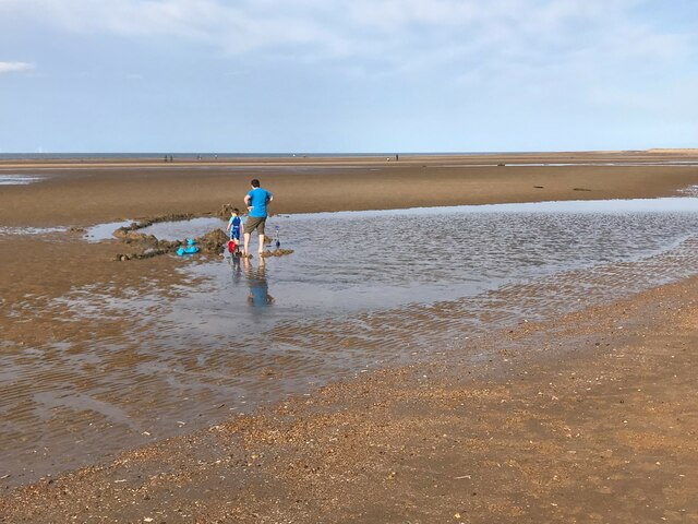
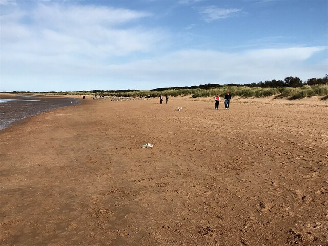
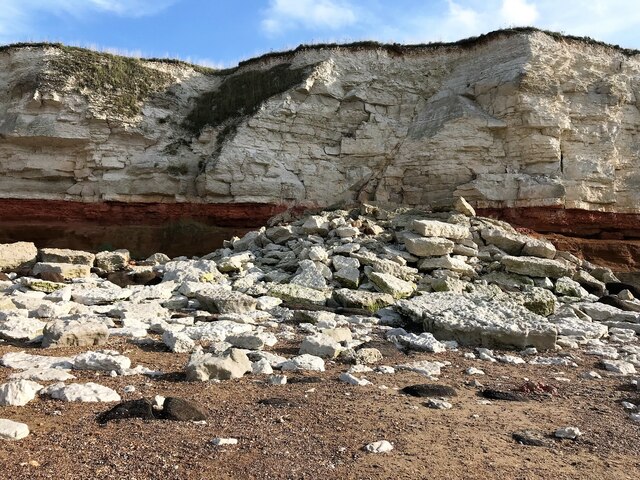
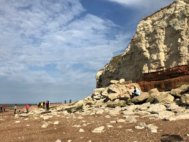
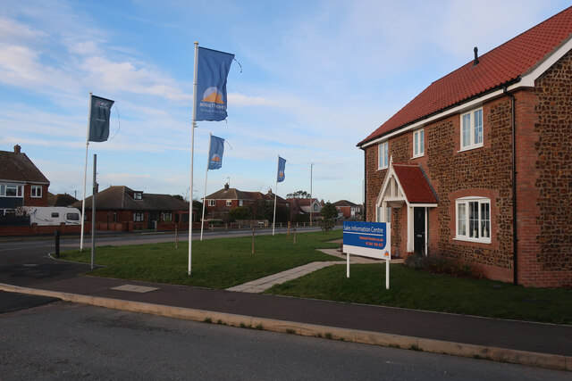
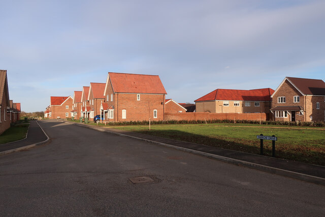
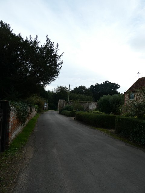
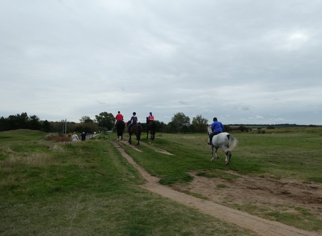
Chalkpit Wood Images
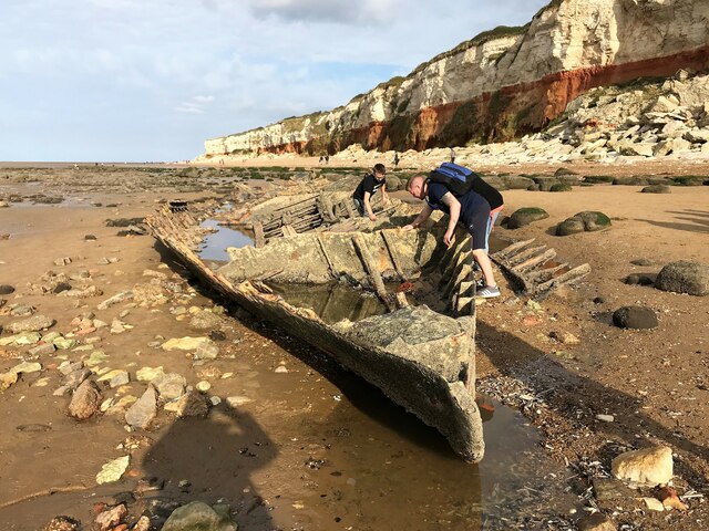
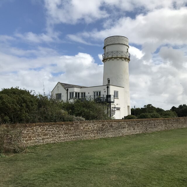
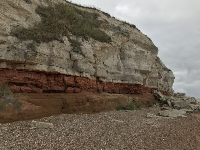
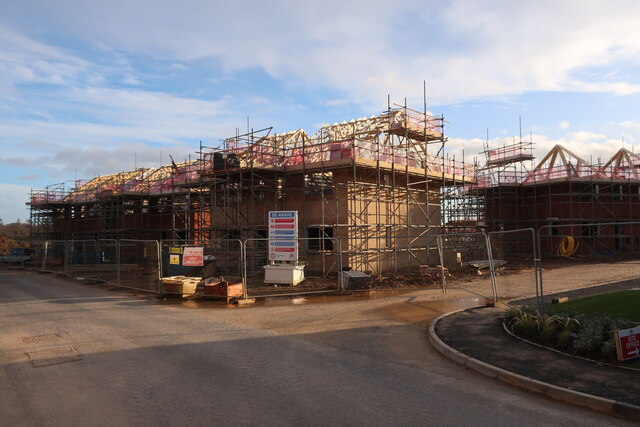
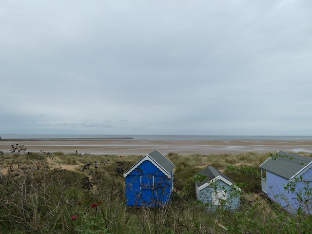
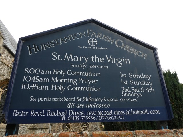
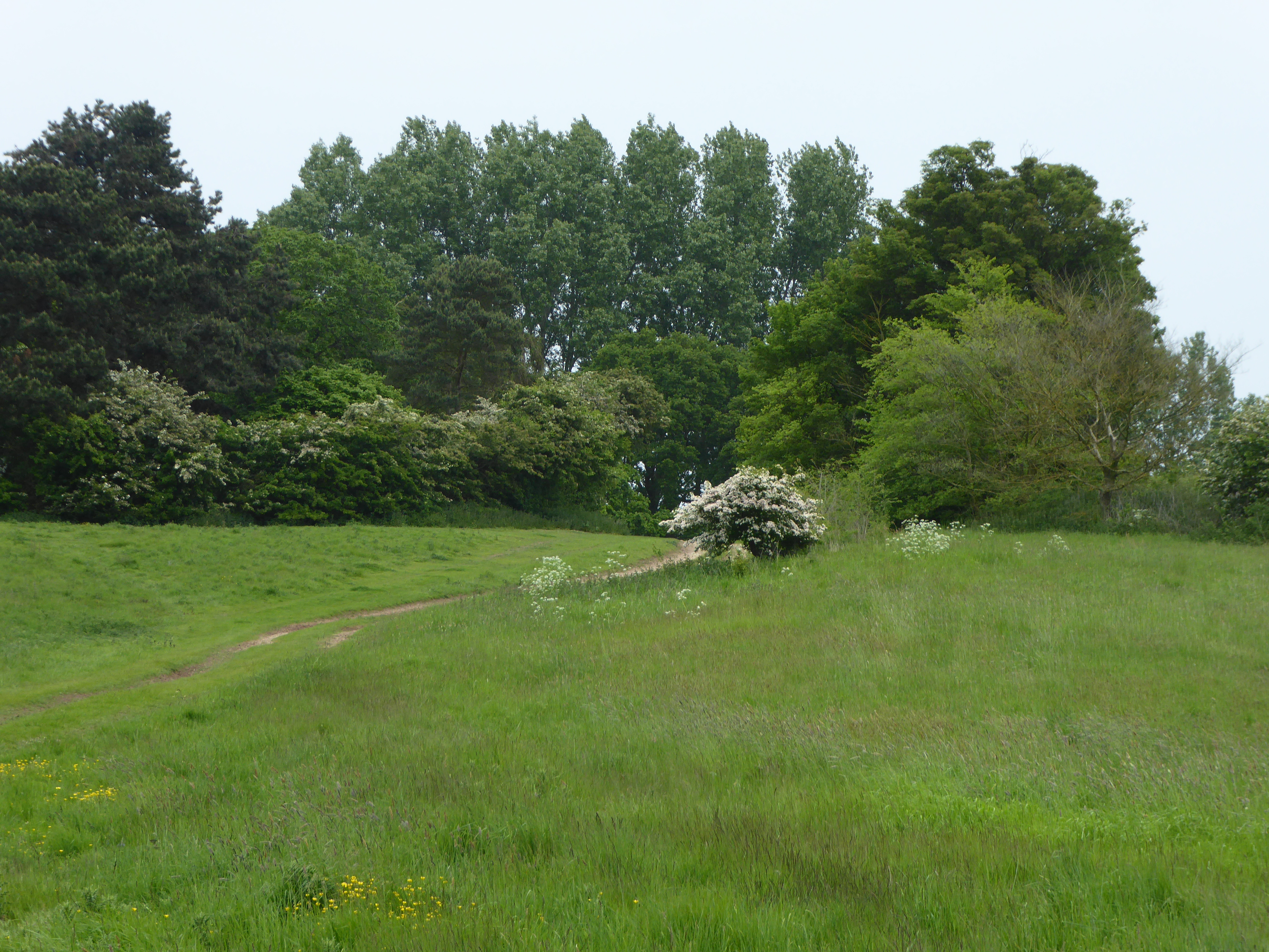
Images are sourced within 2km of 52.949143/0.51819722 or Grid Reference TF6942. Thanks to Geograph Open Source API. All images are credited.


Chalkpit Wood is located at Grid Ref: TF6942 (Lat: 52.949143, Lng: 0.51819722)
Administrative County: Norfolk
District: King's Lynn and West Norfolk
Police Authority: Norfolk
What 3 Words
///yawned.putter.billiard. Near Hunstanton, Norfolk
Nearby Locations
Related Wikis
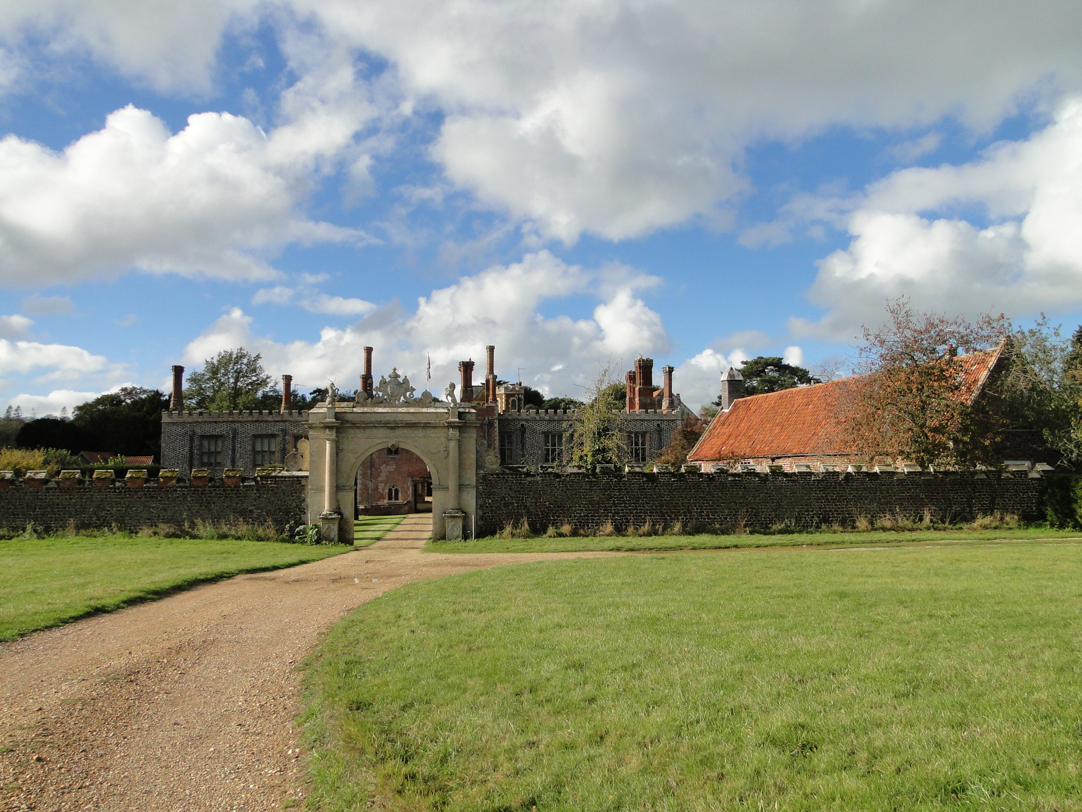
Hunstanton Hall
Hunstanton Hall, Old Hunstanton, Norfolk, England is a country house dating originally from the 15th century. The gatehouse, now detached from the main...

Hunstanton Golf Club
Hunstanton Golf Club is an 18-hole members golf club in Norfolk, England which has hosted many of the leading amateur golf tournaments in Britain including...
Hunstanton Park Esker
Hunstanton Park Esker is a 17.3-hectare (43-acre) geological Site of Special Scientific Interest east of Hunstanton in Norfolk. The esker extends 1.5 km...
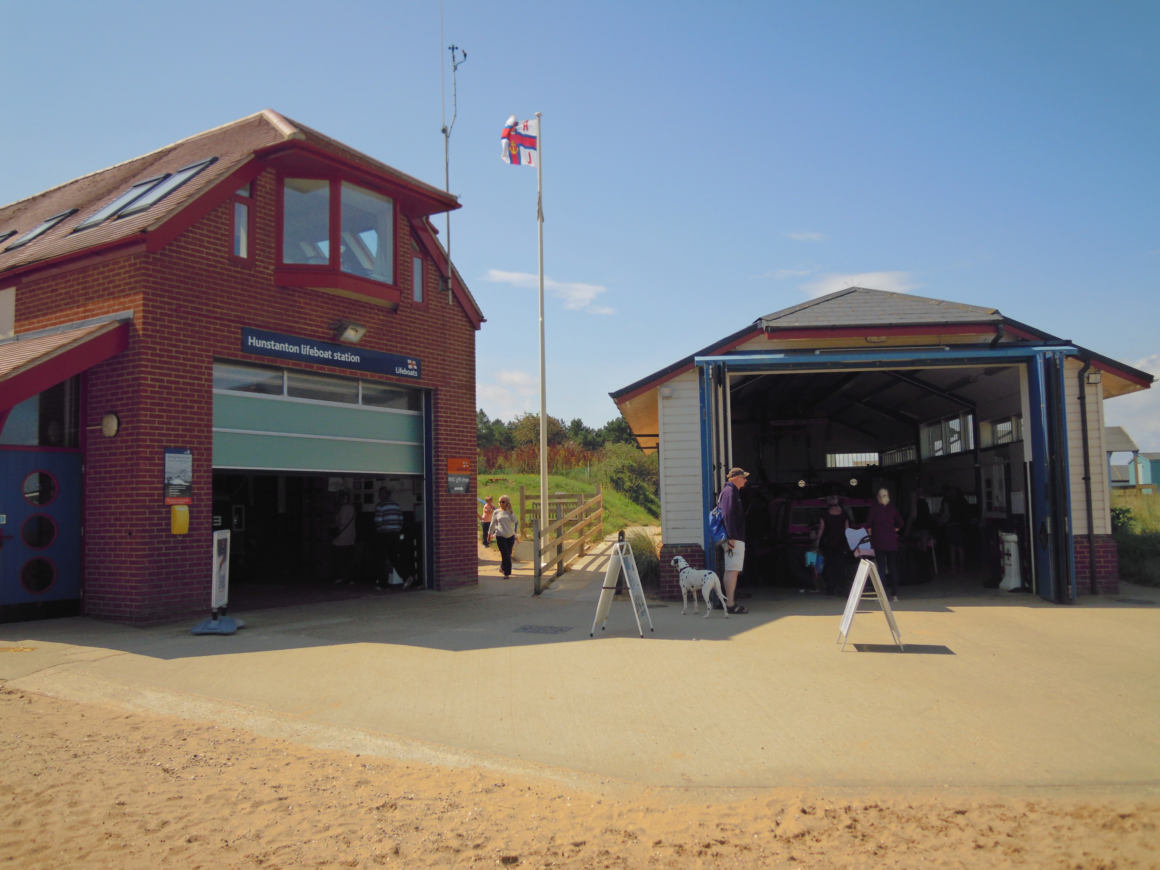
Hunstanton Lifeboat Station
Hunstanton Lifeboat Station is a Royal National Lifeboat Institution operated lifeboat station located in the village of Old Hunstanton in the English...
Nearby Amenities
Located within 500m of 52.949143,0.51819722Have you been to Chalkpit Wood?
Leave your review of Chalkpit Wood below (or comments, questions and feedback).