Gipsy Green
Wood, Forest in Norfolk King's Lynn and West Norfolk
England
Gipsy Green

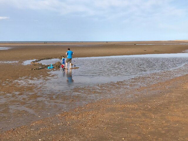
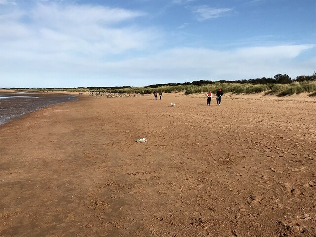
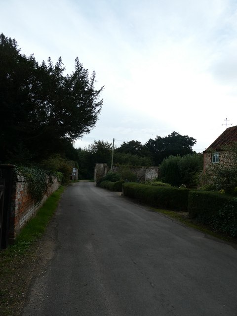
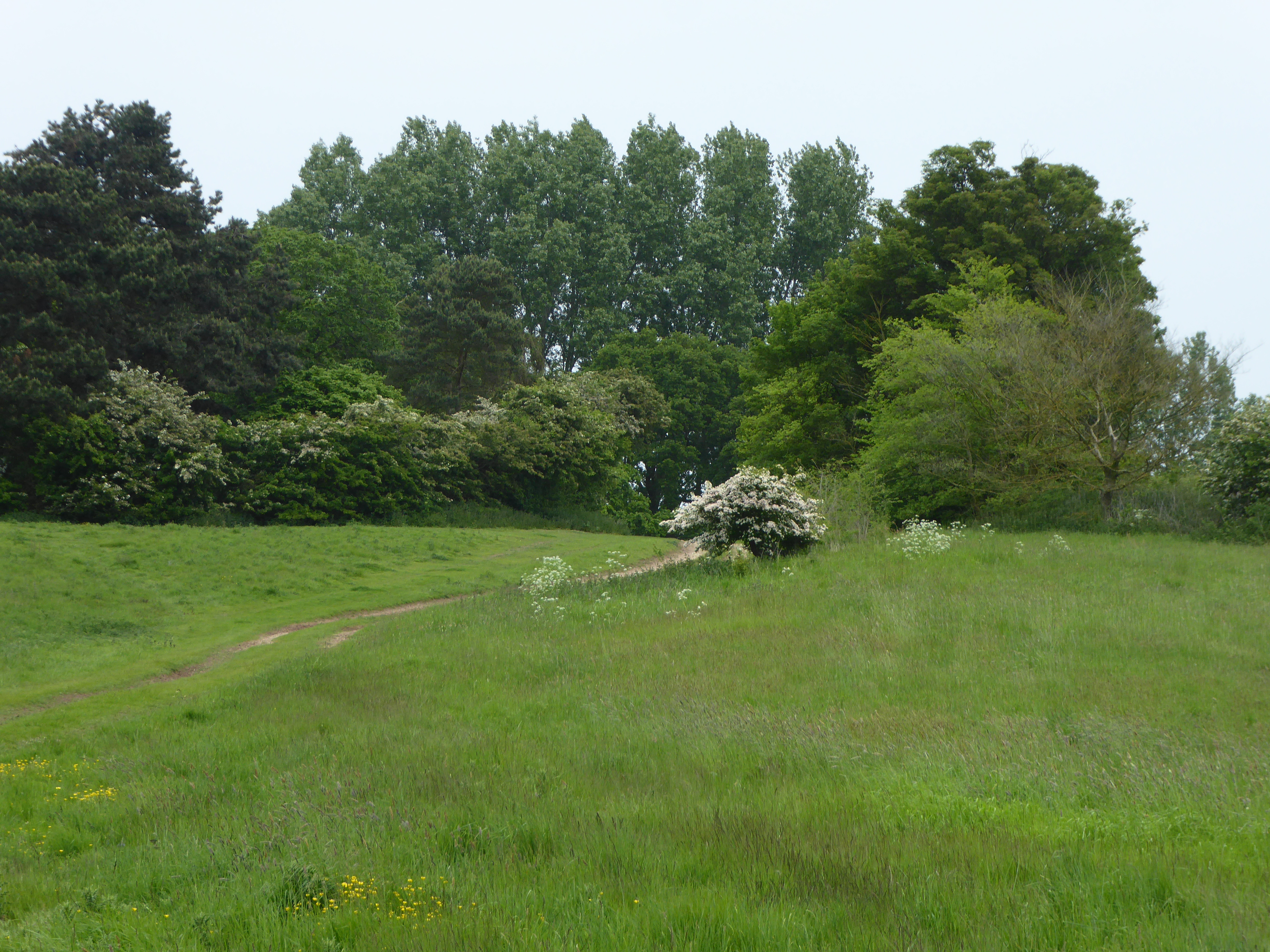
Gipsy Green is a small village located in the county of Norfolk, England. Situated in a rural area, it is known for its picturesque woodlands and forests, which surround the village and provide a beautiful natural environment for residents and visitors alike.
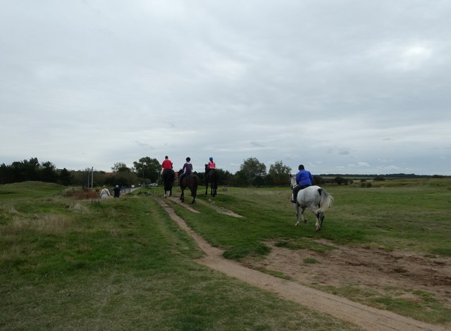
The village of Gipsy Green is characterized by its tranquil and peaceful atmosphere, making it an ideal destination for those seeking a break from the hustle and bustle of city life. The woodlands and forests that surround the village are home to a diverse range of flora and fauna, offering nature enthusiasts the opportunity to explore and discover the beauty of the area.
One of the notable features of Gipsy Green is its extensive network of walking trails and footpaths, which meander through the woodlands and provide stunning views of the surrounding countryside. These trails offer a perfect opportunity for outdoor activities such as hiking, cycling, and birdwatching. The village also boasts several picnic spots, where visitors can relax and enjoy the serenity of the surroundings.
In addition to its natural beauty, Gipsy Green is home to a small, tight-knit community. The village has a few local amenities, including a village hall and a small shop, providing basic necessities for residents. The community often organizes events and activities, fostering a sense of unity and camaraderie among the villagers.
Overall, Gipsy Green, Norfolk, is a charming village nestled in a woodland setting, offering a peaceful and idyllic retreat for nature lovers and those seeking a slower pace of life.
If you have any feedback on the listing, please let us know in the comments section below.
Gipsy Green Images
Images are sourced within 2km of 52.951788/0.5151798 or Grid Reference TF6942. Thanks to Geograph Open Source API. All images are credited.


Gipsy Green is located at Grid Ref: TF6942 (Lat: 52.951788, Lng: 0.5151798)
Administrative County: Norfolk
District: King's Lynn and West Norfolk
Police Authority: Norfolk
What 3 Words
///overheard.encloses.useful. Near Hunstanton, Norfolk
Nearby Locations
Related Wikis
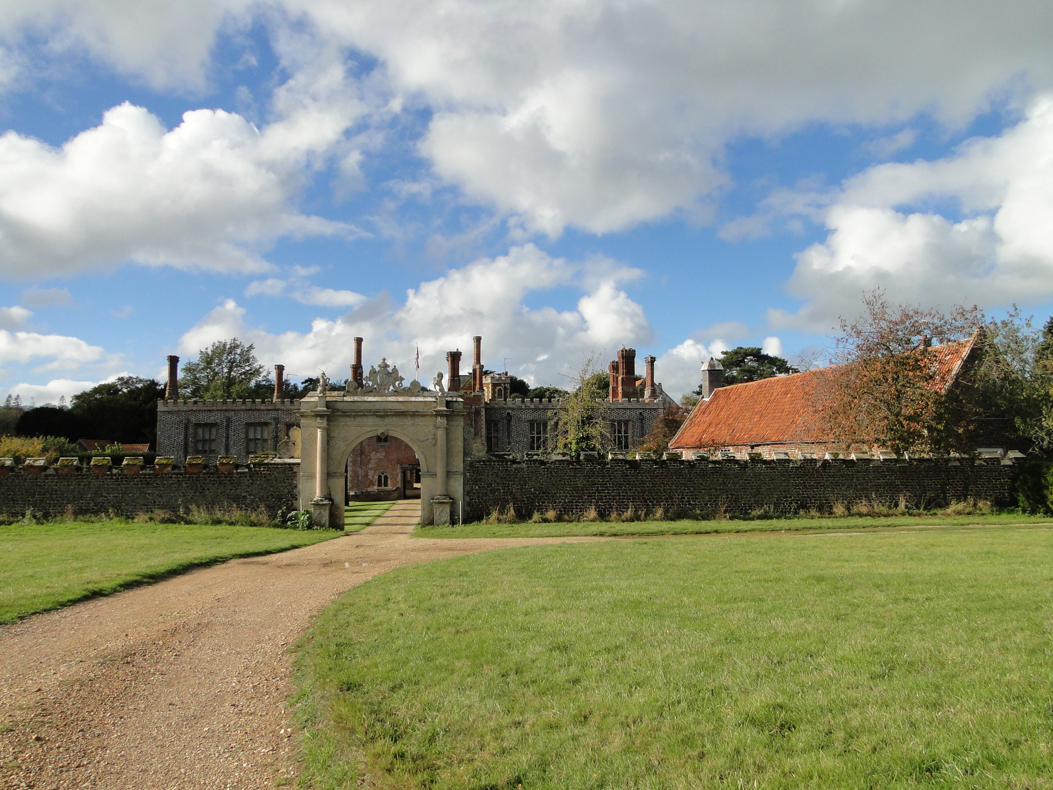
Hunstanton Hall
Hunstanton Hall, Old Hunstanton, Norfolk, England is a country house dating originally from the 15th century. The gatehouse, now detached from the main...

Hunstanton Golf Club
Hunstanton Golf Club is an 18-hole members golf club in Norfolk, England which has hosted many of the leading amateur golf tournaments in Britain including...
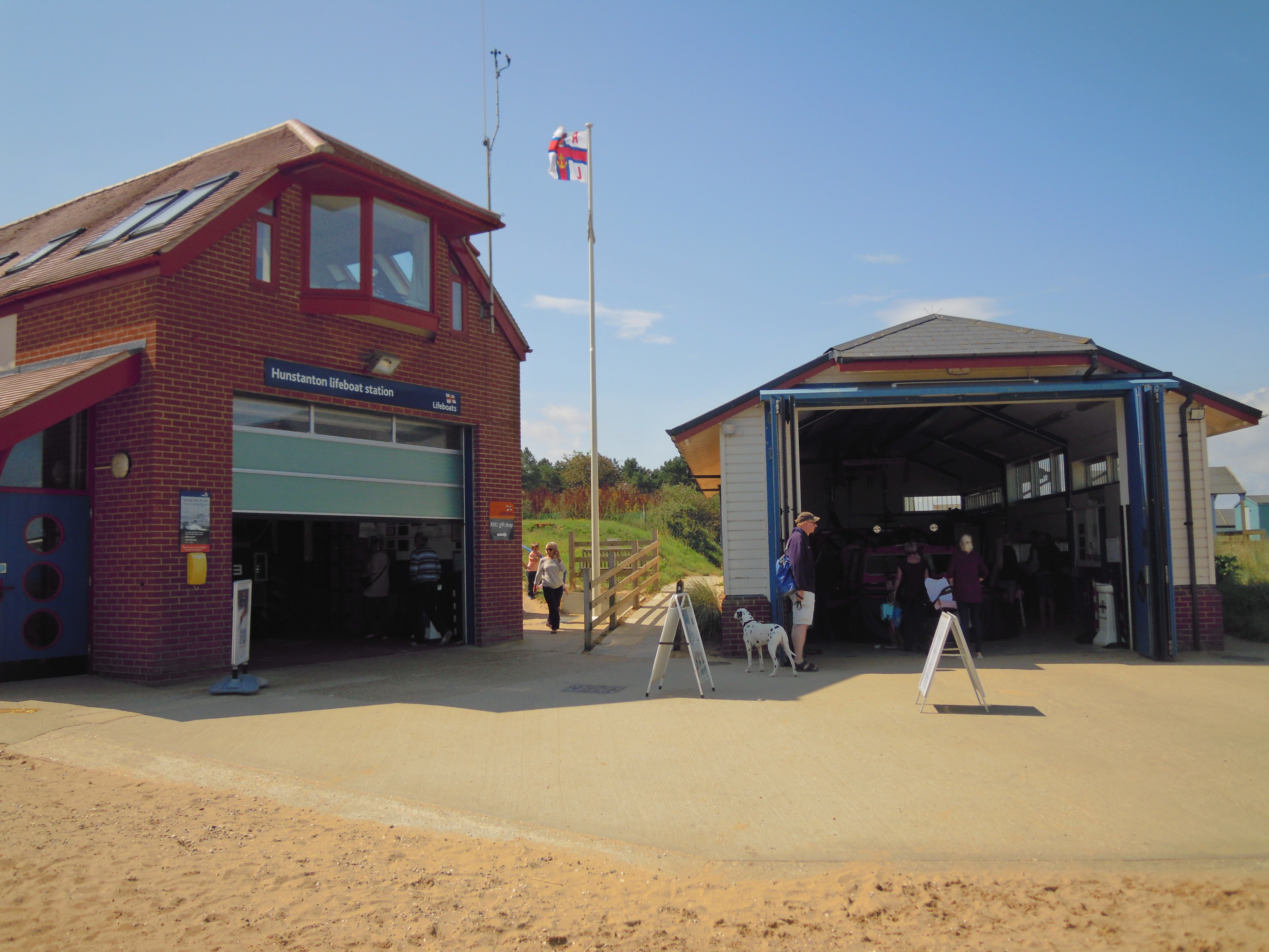
Hunstanton Lifeboat Station
Hunstanton Lifeboat Station is a Royal National Lifeboat Institution operated lifeboat station located in the village of Old Hunstanton in the English...
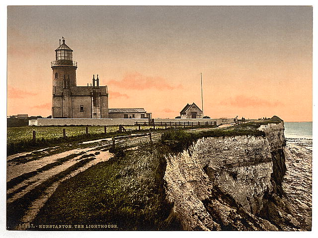
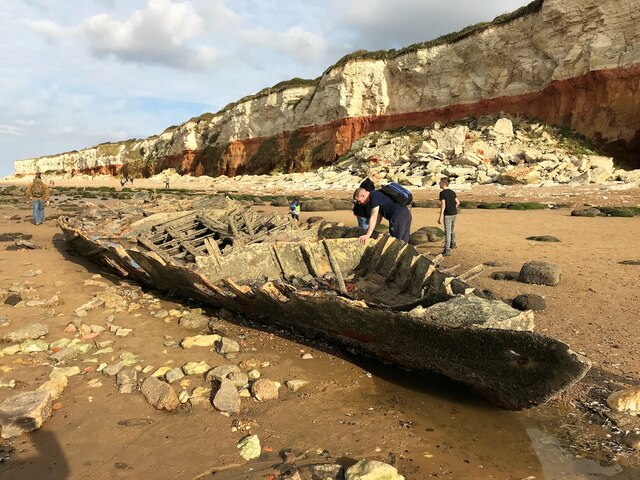
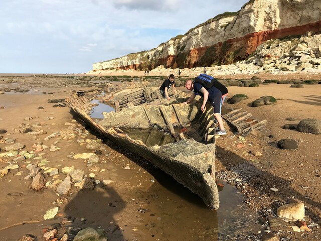
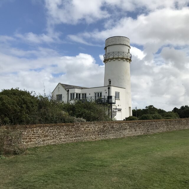
Old Hunstanton Lighthouse
Old Hunstanton Lighthouse is a former lighthouse located in Old Hunstanton in the English county of Norfolk, generally called Hunstanton Lighthouse (or...
Hunstanton Park Esker
Hunstanton Park Esker is a 17.3-hectare (43-acre) geological Site of Special Scientific Interest east of Hunstanton in Norfolk. The esker extends 1.5 km...

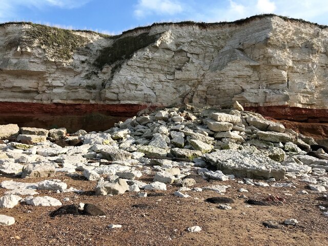
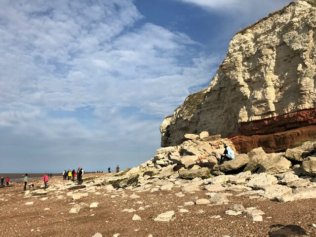
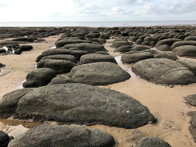
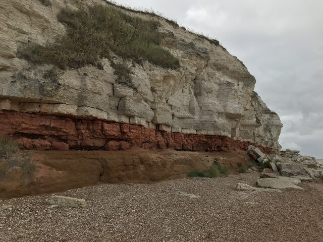
Hunstanton Cliffs
Hunstanton Cliffs is a 4.6-hectare (11-acre) biological and geological Site of Special Scientific Interest in Hunstanton in Norfolk. It is a Geological...

Seahenge
Seahenge, also known as Holme I, was a prehistoric monument located in the village of Holme-next-the-Sea, near Old Hunstanton in the English county of...

Holme-next-the-Sea
Holme-next-the-Sea is a small village and civil parish in the English county of Norfolk. It is situated on the north Norfolk coast some 5 km north-east...
Nearby Amenities
Located within 500m of 52.951788,0.5151798Have you been to Gipsy Green?
Leave your review of Gipsy Green below (or comments, questions and feedback).