Furzy Leas Wood
Wood, Forest in Kent Gravesham
England
Furzy Leas Wood
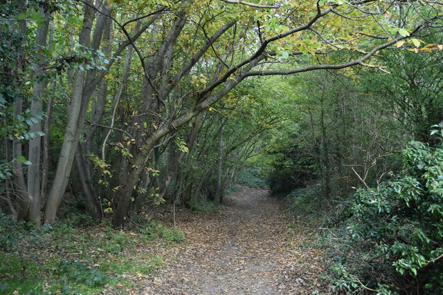
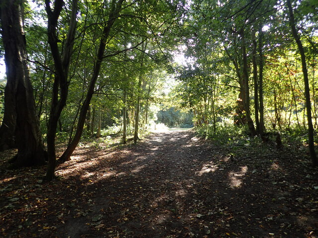
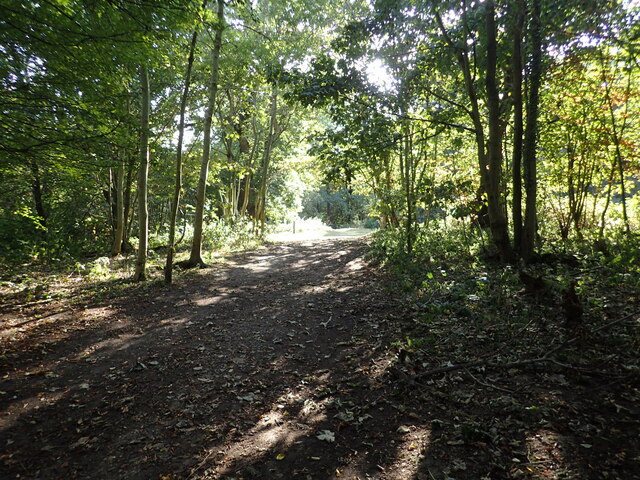
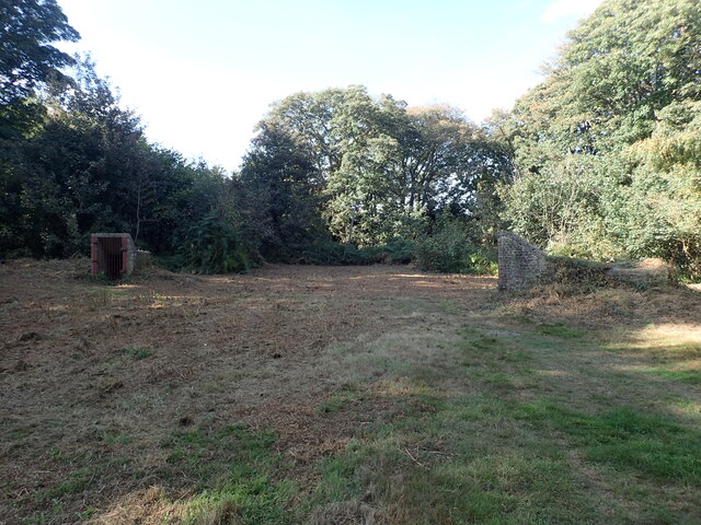
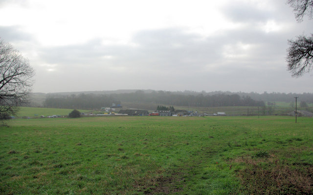
Furzy Leas Wood, located in Kent, is a beautiful and enchanting woodland that offers visitors a serene and natural escape from the bustling city life. Spanning over a vast area, the wood is home to a diverse range of flora and fauna, making it an idyllic spot for nature enthusiasts and wildlife lovers.
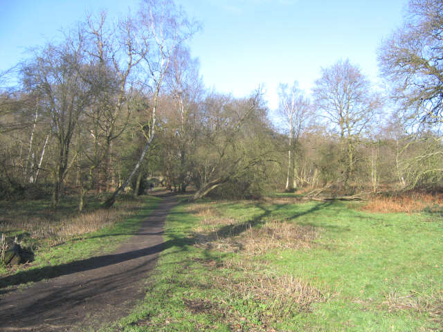
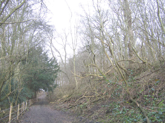
The wood is characterized by its ancient trees, including oak, beech, and birch, which provide shelter and a habitat for numerous bird species, such as woodpeckers and songbirds. The forest floor is adorned with a rich carpet of bluebells during springtime, creating a picturesque scene that attracts photographers and nature enthusiasts alike.
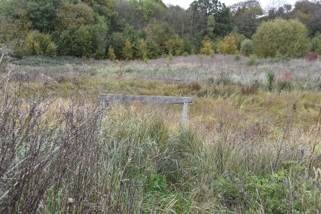
Tranquility and peace can be found in abundance at Furzy Leas Wood, with its network of well-maintained paths and trails that allow visitors to explore the woodland at their own pace. These paths are suitable for walkers of all abilities and offer stunning views of the surrounding countryside.
Visitors to the wood can also enjoy a range of recreational activities, including picnicking, birdwatching, and wildlife spotting. The wood is a popular destination for families and couples seeking a day out in nature, as well as for dog walkers who can take advantage of the ample space to let their furry friends roam freely.
Furzy Leas Wood is managed and maintained by a dedicated team of conservationists, ensuring the preservation of its natural beauty and ecological balance. The wood is open to the public throughout the year, with no admission fees, making it a readily accessible destination for anyone seeking solace in nature.
If you have any feedback on the listing, please let us know in the comments section below.
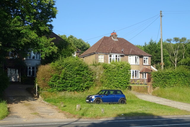
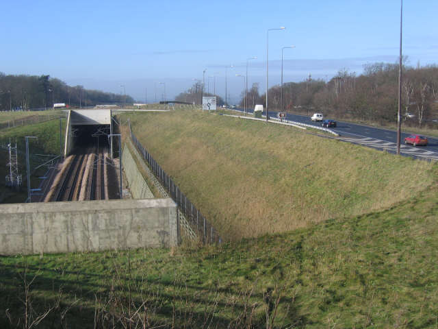
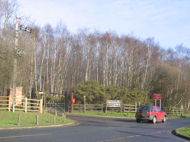
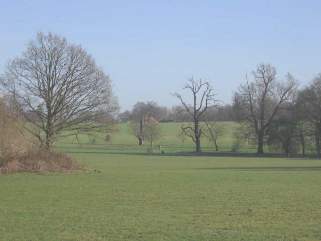
Furzy Leas Wood Images
Images are sourced within 2km of 51.405776/0.42609024 or Grid Reference TQ6870. Thanks to Geograph Open Source API. All images are credited.


Furzy Leas Wood is located at Grid Ref: TQ6870 (Lat: 51.405776, Lng: 0.42609024)
Administrative County: Kent
District: Gravesham
Police Authority: Kent
What 3 Words
///blank.photo.dozed. Near Strood, Kent
Nearby Locations
Related Wikis

Shorne Wood Country Park
Shorne Wood Country Park is located between Strood and Gravesend, in the English county of Kent. It was once part of a large estate, later passed to the...

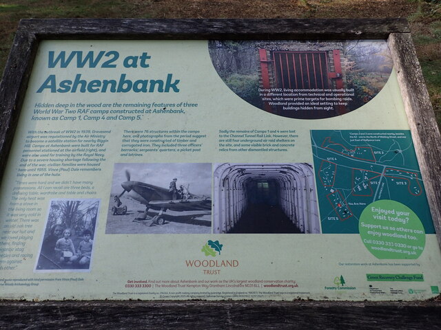
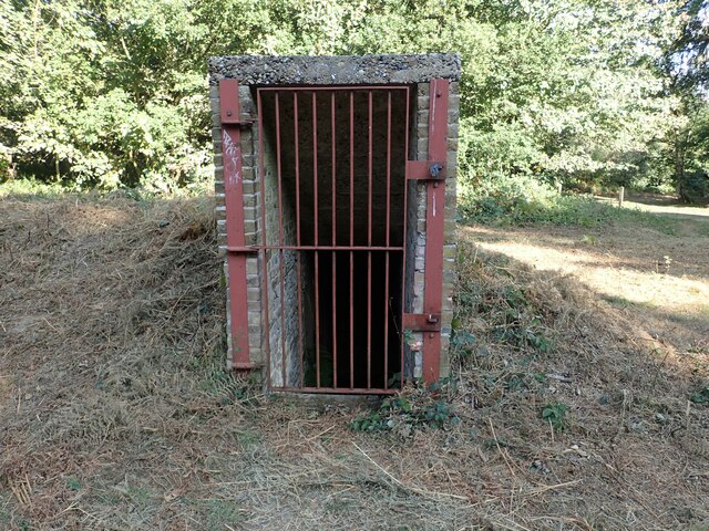
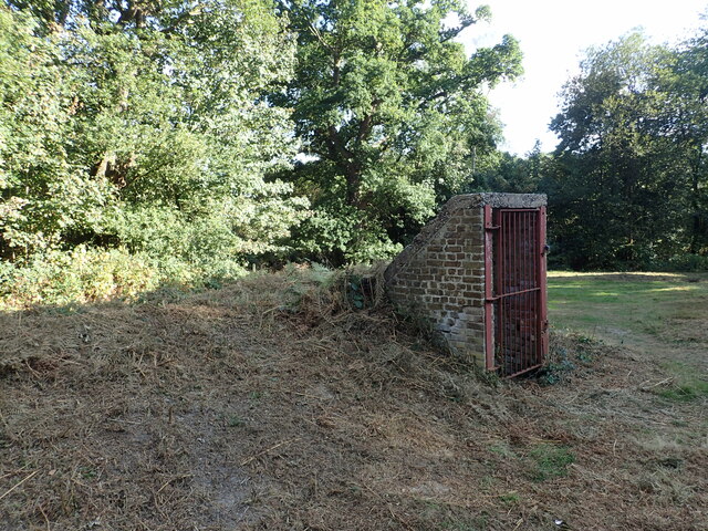
Shorne and Ashenbank Woods
Shorne and Ashenbank Woods is a 197.4-hectare (488-acre) biological Site of Special Scientific Interest between Rochester and Gravesend in Kent. Part of...

Shorne
Shorne is a village and civil parish in the borough of Gravesham in Kent, England. The parish lies 3 miles (4.8 km) east of Gravesend. Most of the land...

Cobham Hall School
Cobham Hall School is a private day and boarding school in the English parish of Cobham, Kent, for girls only in Years 7 to 11 and co-educational in the...
Cobham Hall
Cobham Hall is an English country house in the county of Kent, England. The grade I listed building is one of the largest and most important houses in...

Great Crabbles Wood
Great Crabbles Wood is a 33-hectare (82-acre) biological Site of Special Scientific Interest north-west of Rochester in Kent.Most of the wood is mixed...
Cobham Park (cricket ground)
Cobham Park near Cobham, Kent and located within the grounds of the Cobham Hall estate, was used a cricket ground. It was used as the venue for a single...

Thong, Kent
Thong is a hamlet southeast of Gravesend in Kent, England. The population of the hamlet is included in the civil parish of Shorne. It has frequently been...
Nearby Amenities
Located within 500m of 51.405776,0.42609024Have you been to Furzy Leas Wood?
Leave your review of Furzy Leas Wood below (or comments, questions and feedback).