Stonyfield Wood
Wood, Forest in Kent
England
Stonyfield Wood

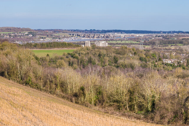
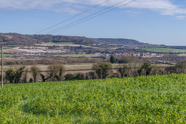
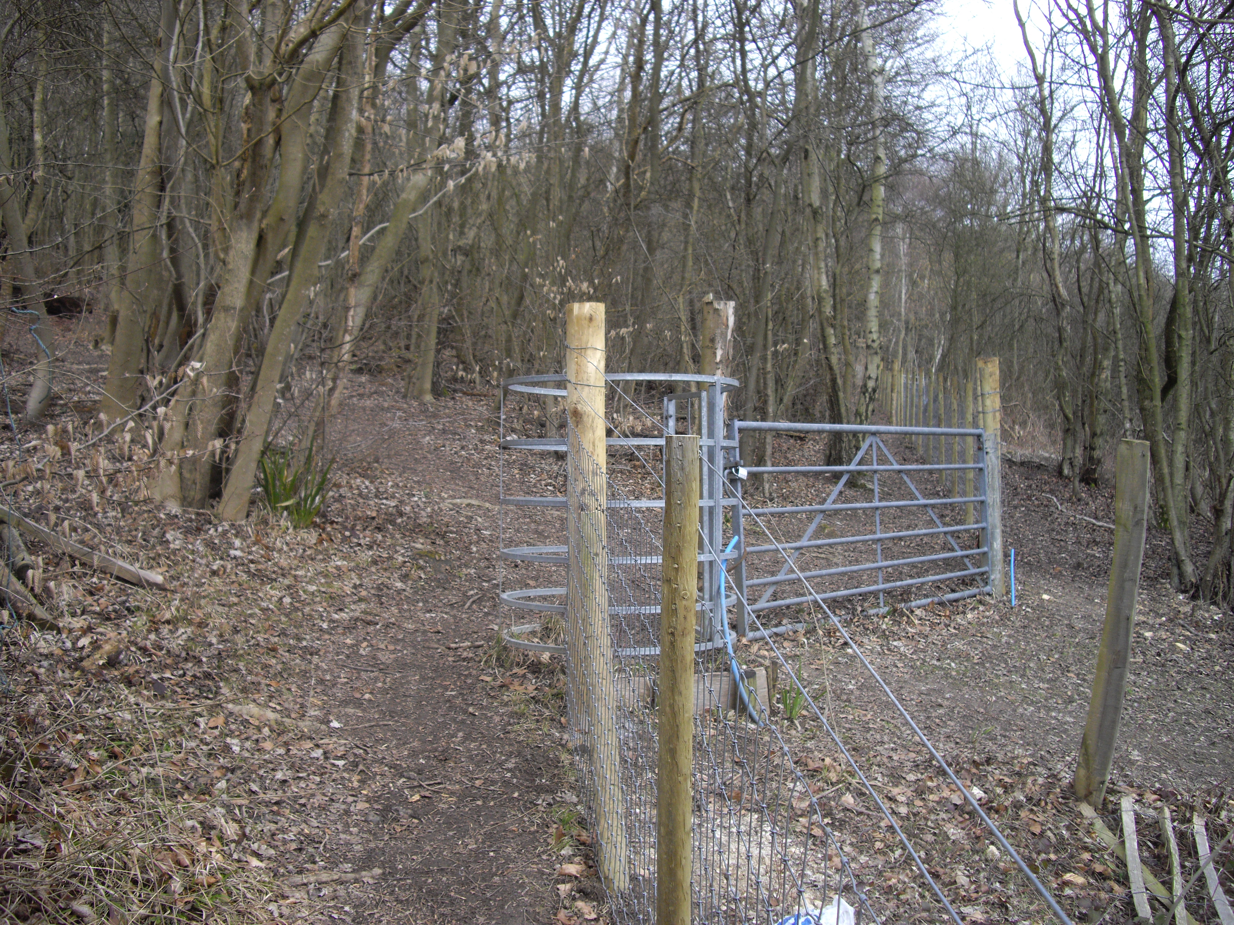
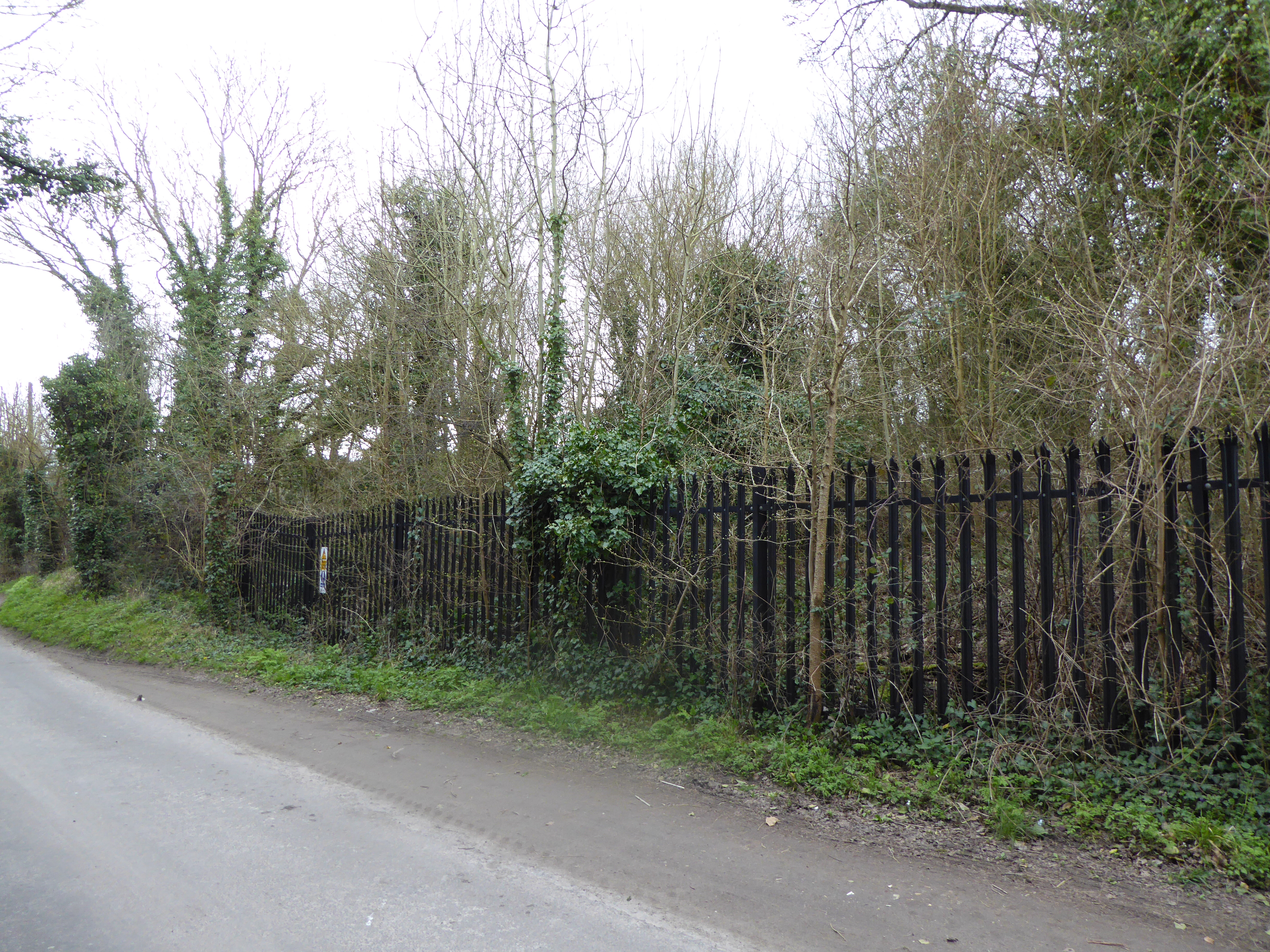
Stonyfield Wood, located in Kent, is a picturesque woodland that covers approximately 50 acres. It is nestled in the heart of the Kent Downs, an Area of Outstanding Natural Beauty, and is renowned for its breathtaking scenery and diverse flora and fauna.
The wood is predominantly made up of native tree species, such as oak, beech, and silver birch, which create a dense canopy that provides a haven for a wide range of wildlife. It is home to various bird species, including woodpeckers, owls, and a variety of songbirds. The undergrowth supports a rich biodiversity, with an array of wildflowers, ferns, and mosses adding a splash of color to the woodland floor.
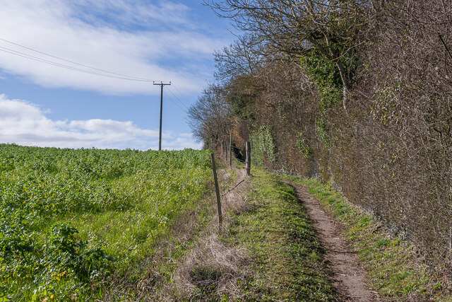
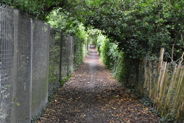
Stonyfield Wood offers visitors a tranquil and serene environment, making it a popular spot for nature enthusiasts and walkers. A network of well-maintained footpaths meanders through the wood, allowing visitors to explore its hidden corners and discover its natural treasures. The wood also features a small stream that adds to its charm and provides a habitat for numerous aquatic species.
The management of Stonyfield Wood is carried out with great care to preserve its natural beauty and ensure its long-term sustainability. This includes regular maintenance of footpaths, controlled thinning of trees to promote healthy growth, and the removal of invasive plant species.
Overall, Stonyfield Wood is a true gem in the Kentish countryside, offering a peaceful retreat for those seeking solace in nature and a chance to immerse themselves in the beauty of the woodland ecosystem.
If you have any feedback on the listing, please let us know in the comments section below.
Stonyfield Wood Images
Images are sourced within 2km of 51.360078/0.42187852 or Grid Reference TQ6865. Thanks to Geograph Open Source API. All images are credited.


Stonyfield Wood is located at Grid Ref: TQ6865 (Lat: 51.360078, Lng: 0.42187852)
Unitary Authority: Medway
Police Authority: Kent
What 3 Words
///honey.actor.scare. Near Halling, Kent
Nearby Locations
Related Wikis
Halling to Trottiscliffe Escarpment
Halling to Trottiscliffe Escarpment is a 600.6-hectare (1,484-acre) biological Site of Special Scientific Interest which runs from Cuxton to Wrotham, west...
Houlder and Monarch Hill Pits, Upper Halling
Houlder and Monarch Hill Pits is a 0.7-hectare (1.7-acre) geological Site of Special Scientific Interest in Upper Halling in Kent, England. It is a Geological...
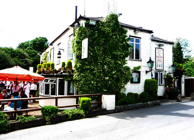
Halling, Kent
Halling is a village on the North Downs in the northern part of Kent, England. Consisting of Lower Halling, Upper Halling and North Halling, it is scattered...
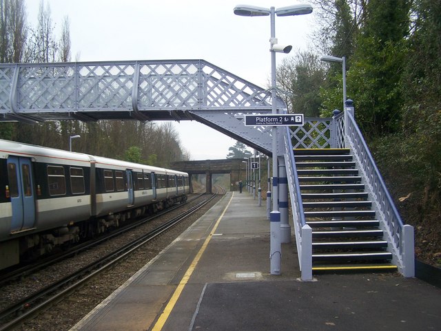
Halling railway station
Halling railway station is on the Medway Valley Line in Kent, England, and lies a little to the north of the village of Halling. It is 35 miles 18 chains...
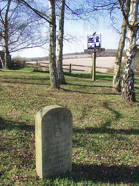
Upper Bush
Upper Bush is a hamlet in the parish of Cuxton, in the unitary authority of Medway, in Kent, England. The hamlet has only a few houses, including two Grade...
Luddesdown
Luddesdown () is a civil parish in the Gravesham District of Kent, England. == Geography == This very rural parish, forming part of the North Downs Area...

Dode, Kent
Dode (in Old English, Dowde) was a village in England that was wiped out by the Black Death in 1349. All that remains is the deconsecrated church, which...
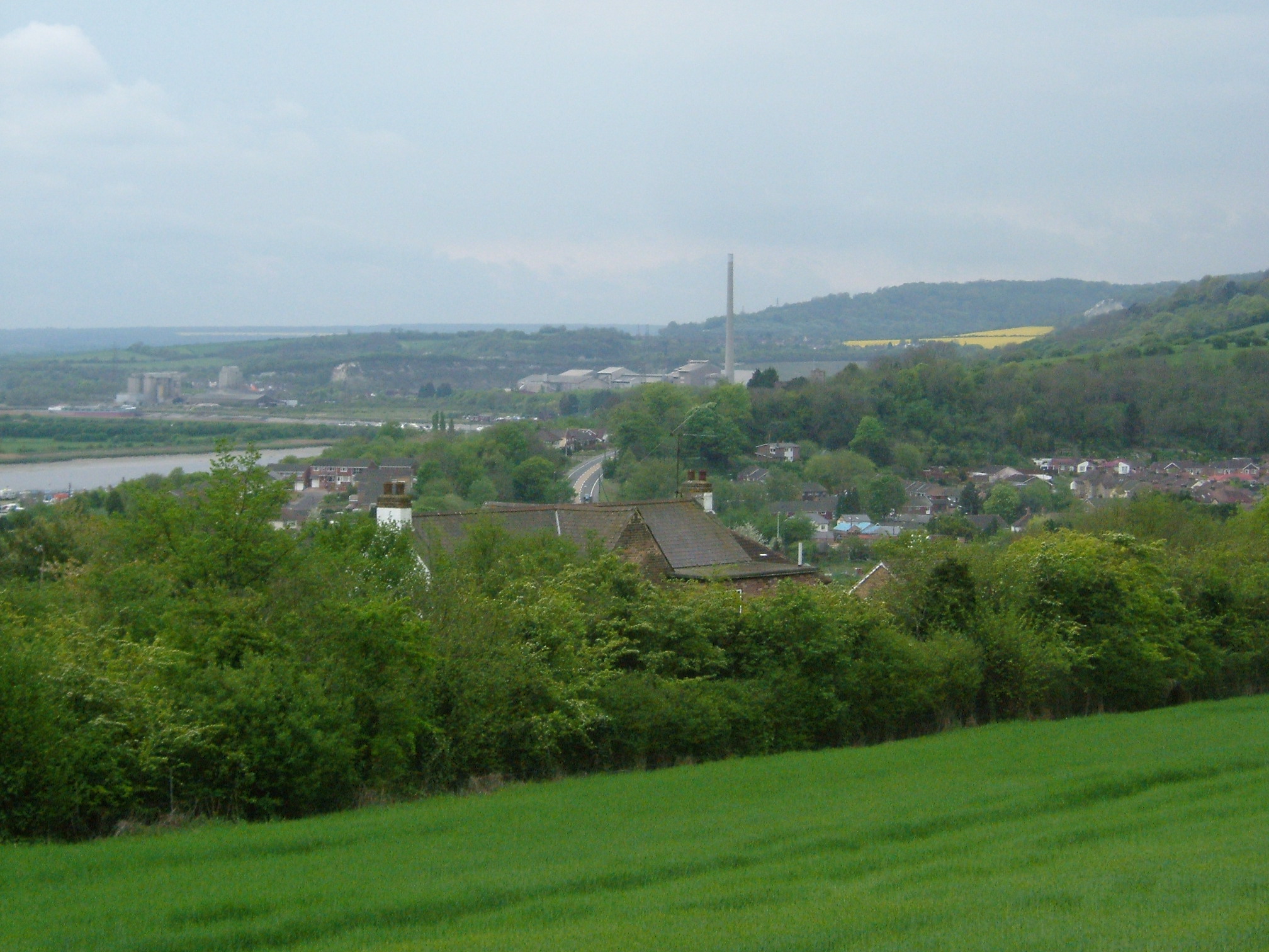
Cuxton
Cuxton is a village in the unitary authority of Medway in South East England. It lies on the left bank of the River Medway in the North Downs. It is served...
Nearby Amenities
Located within 500m of 51.360078,0.42187852Have you been to Stonyfield Wood?
Leave your review of Stonyfield Wood below (or comments, questions and feedback).