West Belt
Wood, Forest in Norfolk King's Lynn and West Norfolk
England
West Belt
West Belt, Norfolk (Wood, Forest) is a picturesque and serene area located in the county of Norfolk, England. Situated in the western part of the county, this region is known for its abundant woodlands and lush forests, making it a haven for nature enthusiasts and outdoor lovers.
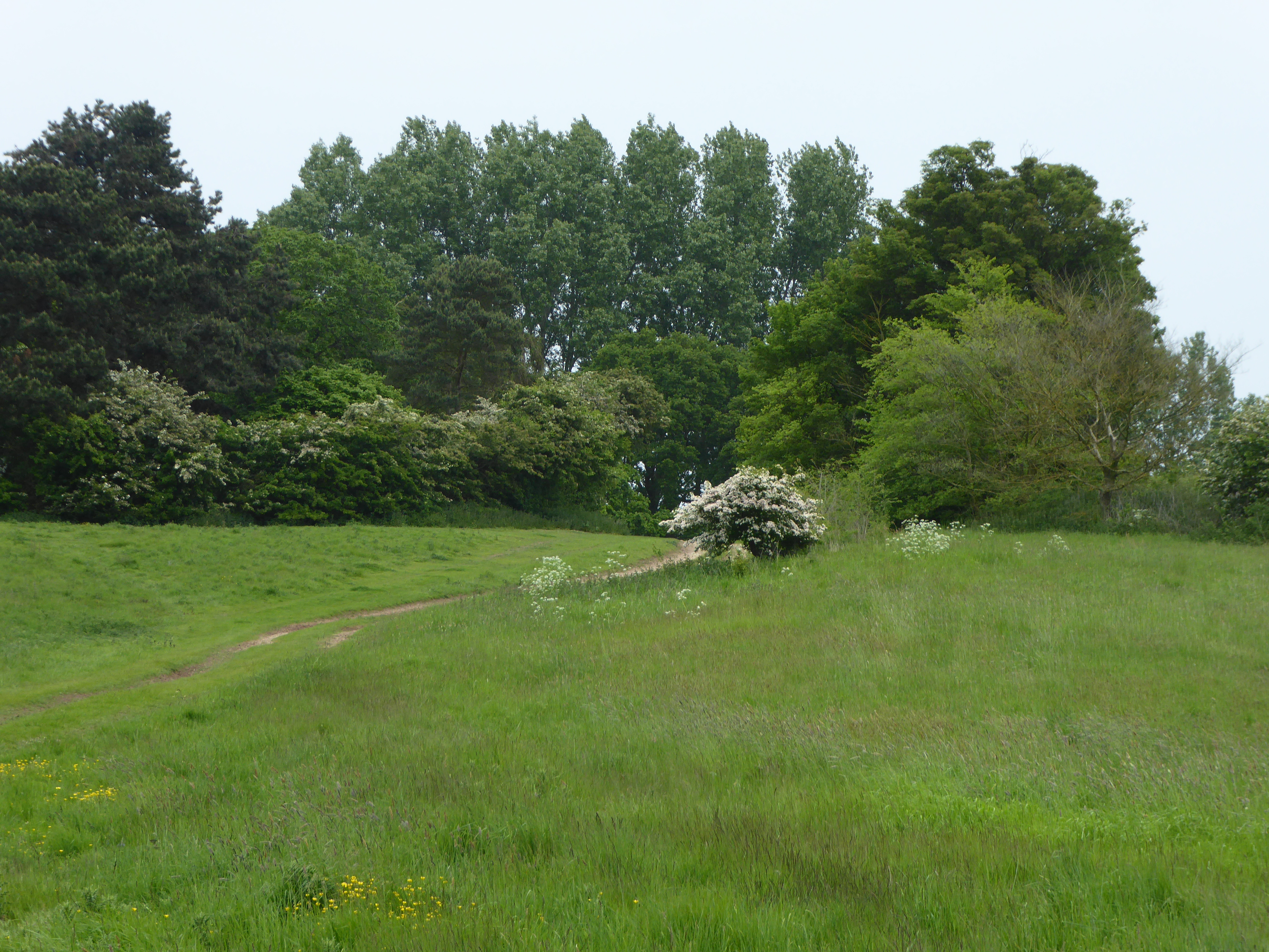
The area boasts a diverse range of tree species, including oak, beech, and birch, which contribute to the stunning natural scenery. These woodlands provide a habitat for a variety of wildlife, such as deer, squirrels, and various bird species, making it a popular spot for wildlife spotting and birdwatching.
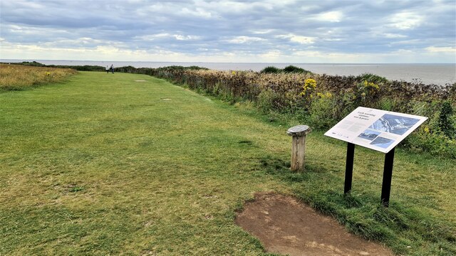
West Belt offers numerous walking trails and hiking routes that allow visitors to explore the beauty of the forests at their own pace. The well-maintained paths wind through the woods, offering breathtaking views and a peaceful atmosphere. Additionally, there are designated picnic areas and benches strategically placed along the trails, allowing visitors to take a break and immerse themselves in the tranquility of nature.
For those seeking a more immersive experience, West Belt also offers camping facilities. There are designated camping grounds that provide basic amenities and allow visitors to spend a night under the starry sky, surrounded by the sounds of nature.
Overall, West Belt, Norfolk (Wood, Forest) is a true gem for nature lovers, with its enchanting woodlands, diverse wildlife, and ample opportunities for outdoor activities. Whether one seeks a leisurely stroll, a challenging hike, or a peaceful camping experience, this area offers a remarkable escape into the beauty of nature.
If you have any feedback on the listing, please let us know in the comments section below.
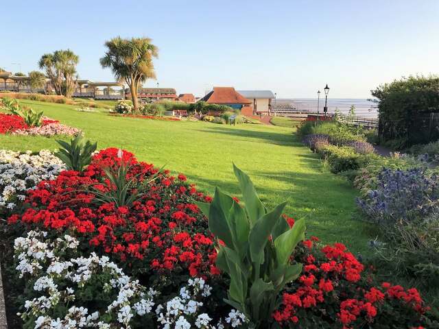
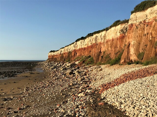
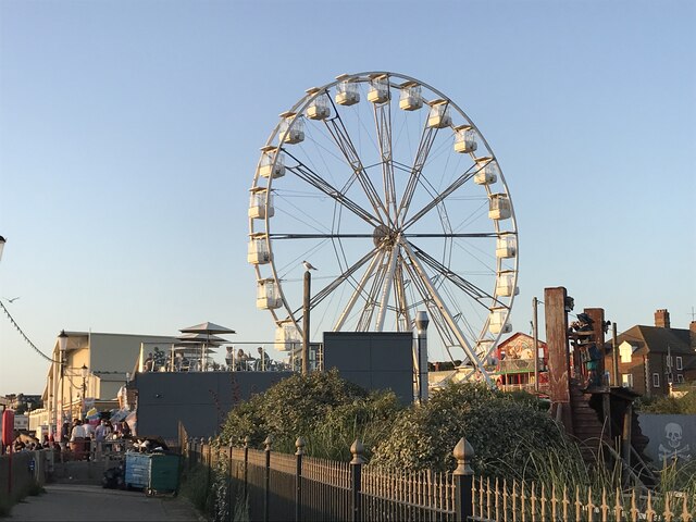
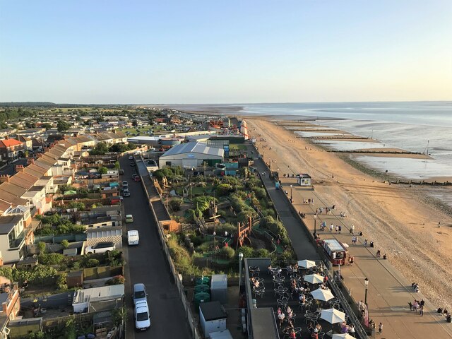
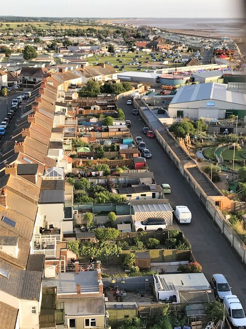
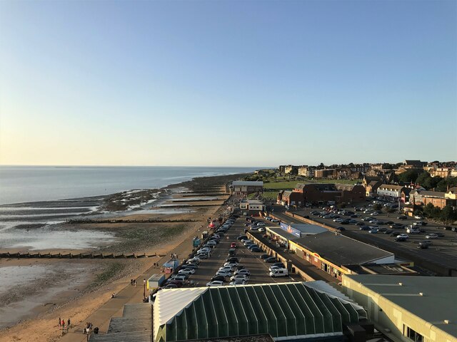
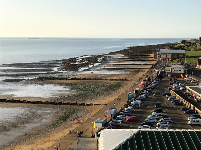
West Belt Images
Images are sourced within 2km of 52.942363/0.50930427 or Grid Reference TF6841. Thanks to Geograph Open Source API. All images are credited.

West Belt is located at Grid Ref: TF6841 (Lat: 52.942363, Lng: 0.50930427)
Administrative County: Norfolk
District: King's Lynn and West Norfolk
Police Authority: Norfolk
What 3 Words
///verifying.inversely.dragon. Near Hunstanton, Norfolk
Nearby Locations
Related Wikis
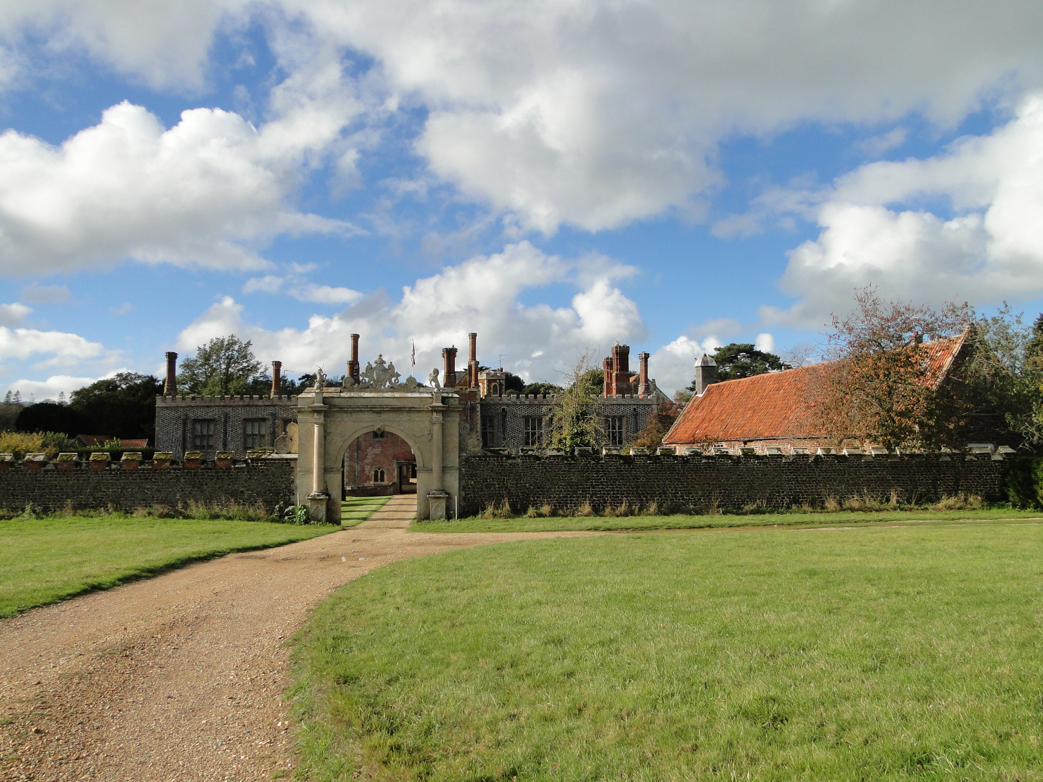
Hunstanton Hall
Hunstanton Hall, Old Hunstanton, Norfolk, England is a country house dating originally from the 15th century. The gatehouse, now detached from the main...
Hunstanton Park Esker
Hunstanton Park Esker is a 17.3-hectare (43-acre) geological Site of Special Scientific Interest east of Hunstanton in Norfolk. The esker extends 1.5 km...

Paul Nicholas School of Acting & Performing Arts
The Paul Nicholas School of Acting & Performing Arts was a franchise of stage and performance schools created by actor and singer Paul Nicholas for young...
Smithdon High School
Smithdon High School (formerly known as Hunstanton Secondary Modern School and Hunstanton School) is a small comprehensive school (ages 11–16) academy...

Ringstead Downs
Ringstead Downs is a 6.9-hectare (17-acre) biological Site of Special Scientific Interest east of Hunstanton in Norfolk. It is in the Norfolk Coast Area...

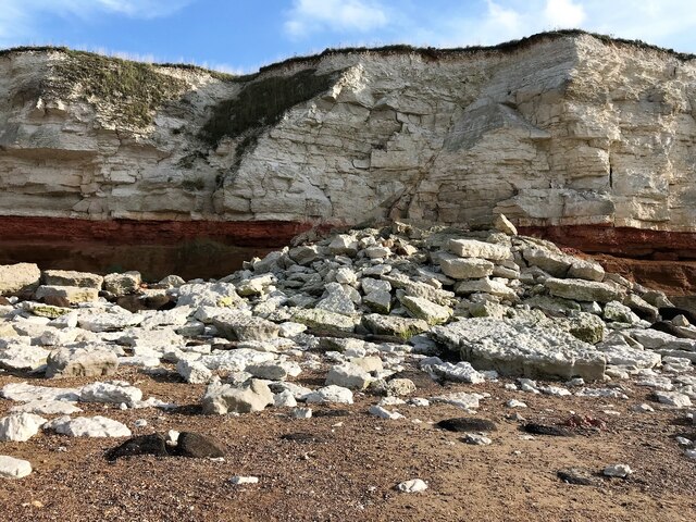
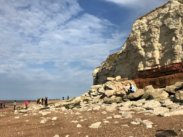
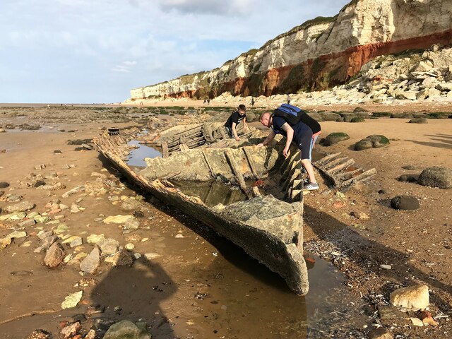
Hunstanton Cliffs
Hunstanton Cliffs is a 4.6-hectare (11-acre) biological and geological Site of Special Scientific Interest in Hunstanton in Norfolk. It is a Geological...
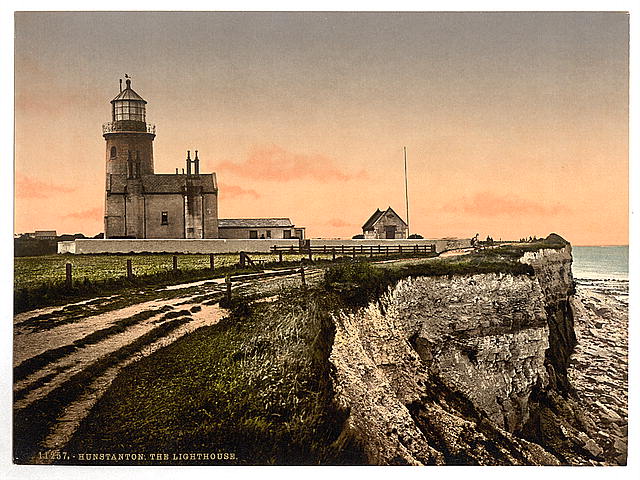
Old Hunstanton Lighthouse
Old Hunstanton Lighthouse is a former lighthouse located in Old Hunstanton in the English county of Norfolk, generally called Hunstanton Lighthouse (or...
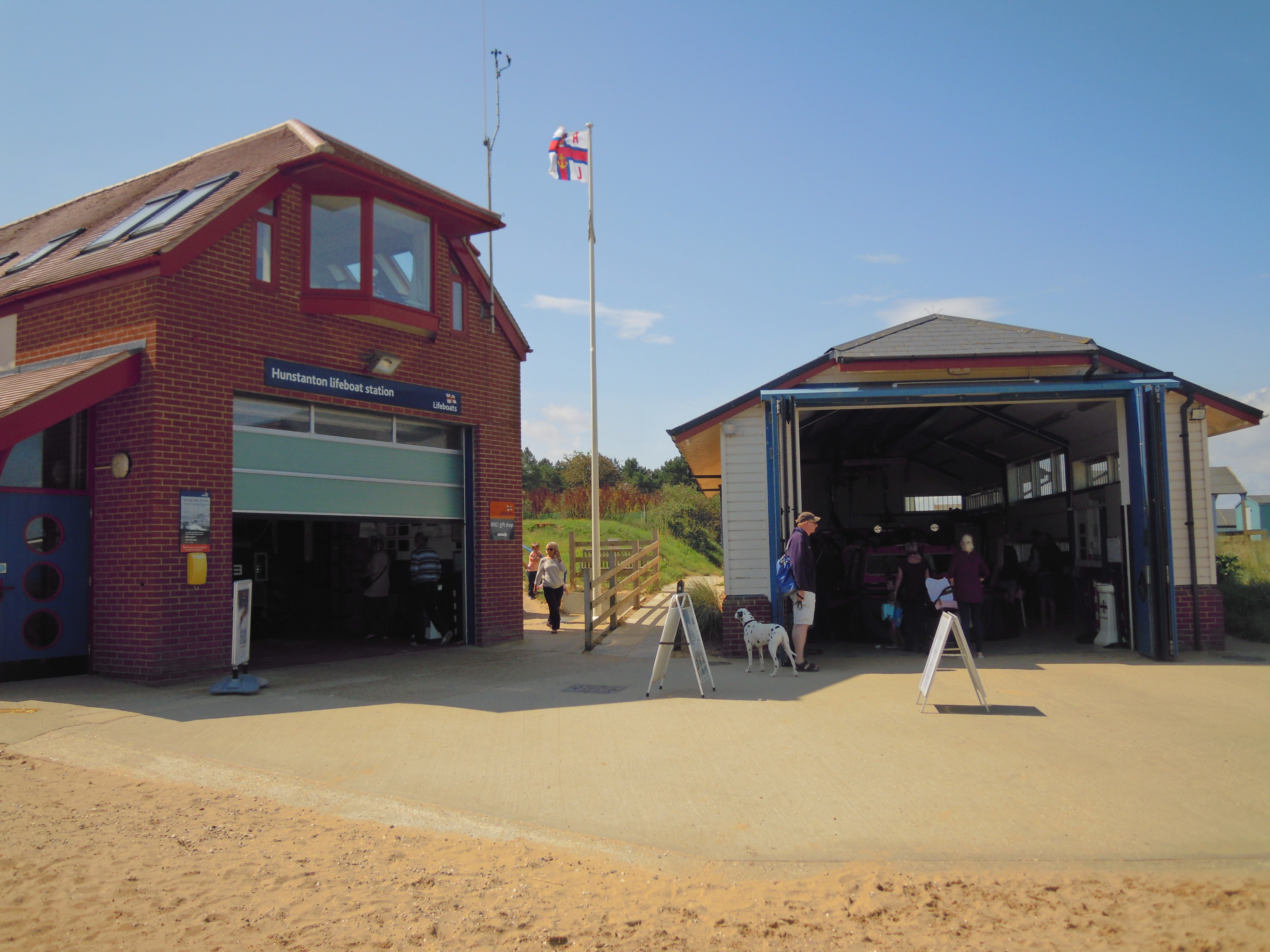
Hunstanton Lifeboat Station
Hunstanton Lifeboat Station is a Royal National Lifeboat Institution operated lifeboat station located in the village of Old Hunstanton in the English...
Have you been to West Belt?
Leave your review of West Belt below (or comments, questions and feedback).