Cannon Wood
Wood, Forest in Essex Uttlesford
England
Cannon Wood
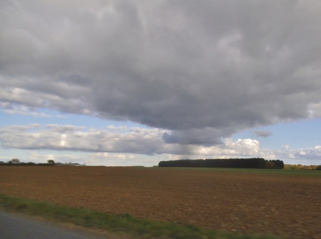
Cannon Wood is a picturesque forest located in the county of Essex, England. Situated near the village of Wood, it covers an area of approximately 200 hectares. The wood is known for its diverse range of trees and wildlife, making it a popular destination for nature enthusiasts and hikers.
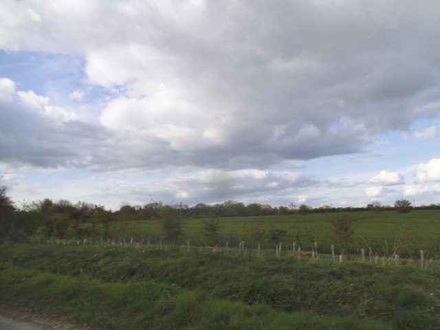
The woodland is predominantly composed of broadleaf trees, including oak, beech, and birch. These majestic trees create a canopy that provides shelter and habitat for a wide variety of wildlife. Visitors to Cannon Wood may spot deer, foxes, badgers, and a plethora of bird species, including woodpeckers and owls.
The forest features several well-marked trails that wind through the wood, providing visitors with the opportunity to explore its natural beauty. Whether it be a leisurely stroll or a more challenging hike, there is a trail suitable for all fitness levels. Along the way, hikers can enjoy the tranquility of the forest, breathe in the fresh air, and take in the scenic views.
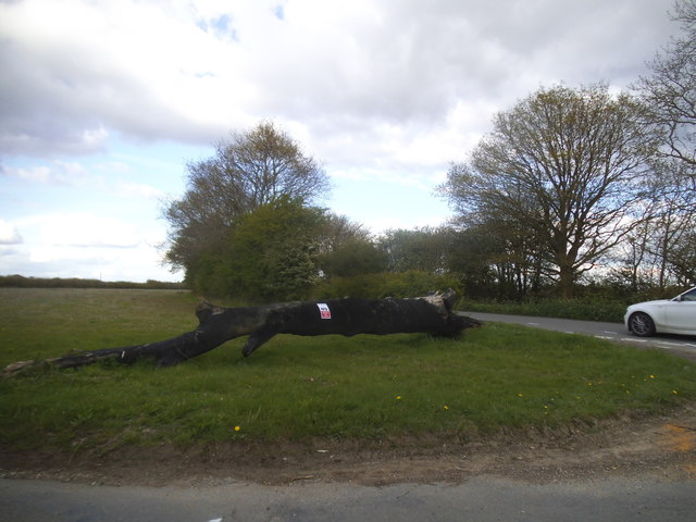
Cannon Wood is also home to a number of ancient trees, some of which are estimated to be several hundred years old. These ancient trees serve as a reminder of the rich history and heritage of the area.
Overall, Cannon Wood in Essex offers a peaceful and idyllic setting for individuals seeking a break from the hustle and bustle of everyday life. With its lush vegetation, diverse wildlife, and well-maintained trails, it is a haven for those who appreciate the beauty of nature.
If you have any feedback on the listing, please let us know in the comments section below.
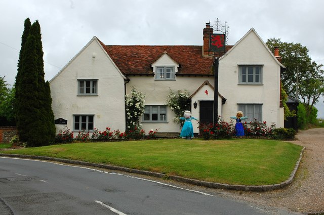
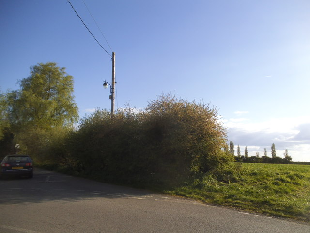
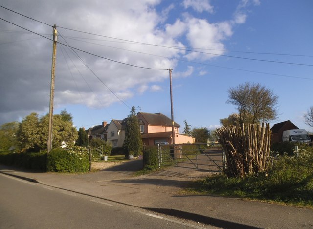
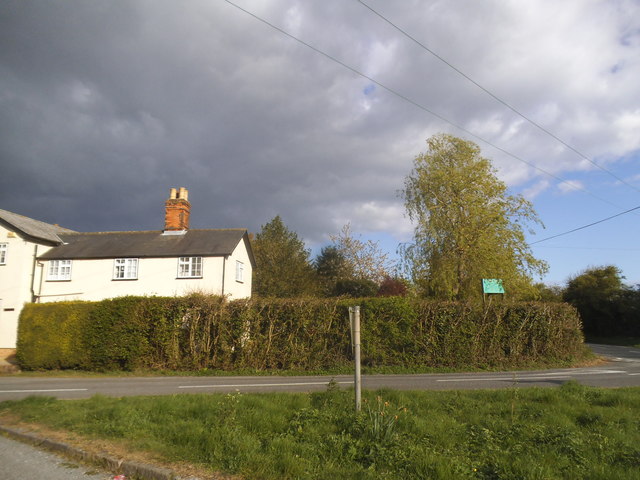
Cannon Wood Images
Images are sourced within 2km of 51.901251/0.44255391 or Grid Reference TL6825. Thanks to Geograph Open Source API. All images are credited.


Cannon Wood is located at Grid Ref: TL6825 (Lat: 51.901251, Lng: 0.44255391)
Administrative County: Essex
District: Uttlesford
Police Authority: Essex
What 3 Words
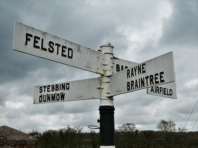
///bugs.baguette.falters. Near Little Dunmow, Essex
Nearby Locations
Related Wikis

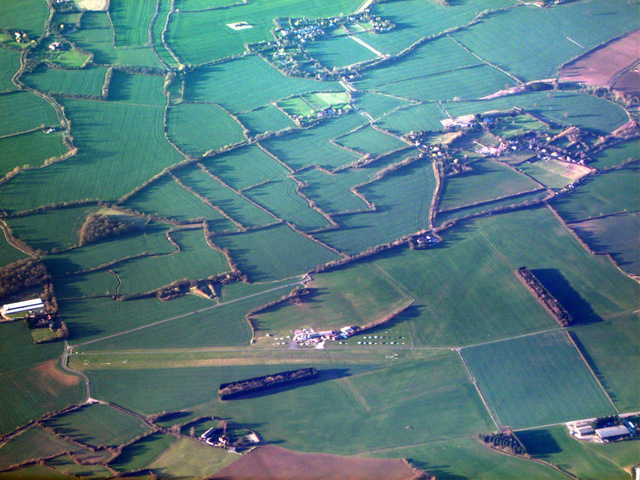
Andrewsfield Aerodrome
Andrewsfield Aerodrome (ICAO: EGSL) is located 4 NM (7.4 km; 4.6 mi) west northwest of Braintree, Essex, England, formerly RAF Andrews Field. Both the...
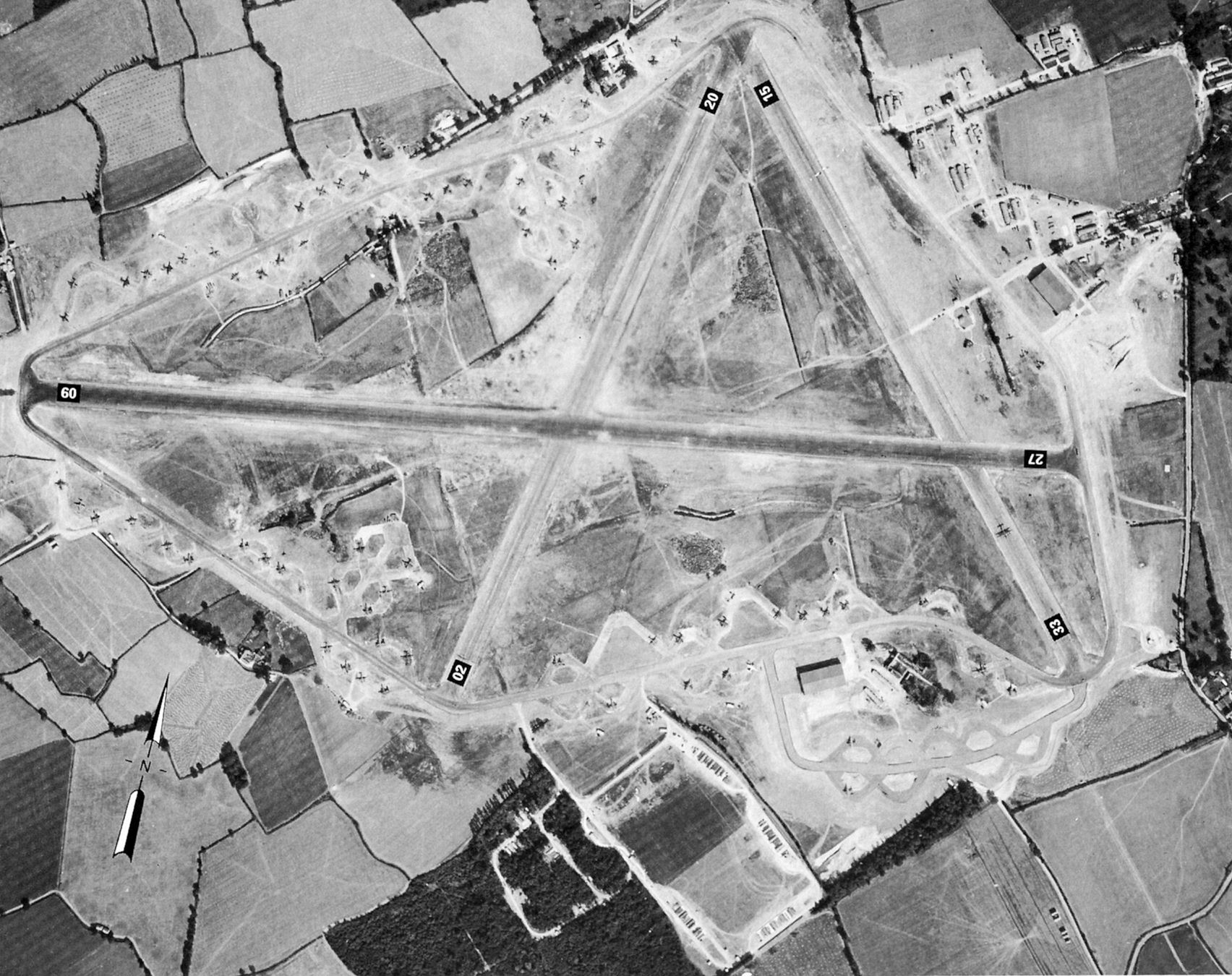
RAF Andrews Field
Royal Air Force Andrews Field or more simply RAF Andrews Field (also known as RAF Andrewsfield and RAF Great Saling) is a former Royal Air Force station...

Bardfield Saling
Bardfield Saling is a village and former civil parish, now in the parish of The Salings, in the Braintree district, in the county of Essex, England. It...

The Salings
The Salings is a civil parish in the Braintree District in Essex, England. It includes Bardfield Saling and Great Saling. The civil parish has 475 inhabitants...
Great Saling
Great Saling is a village and former civil parish, now in the parish of The Salings, in the Braintree district of the county of Essex, England. The population...

Stebbing Green
Stebbing Green is a hamlet in the Uttlesford district, in the county of Essex. It is near the village of Stebbing; its post town is Dunmow. It is near...

Stebbing
Stebbing is a small village in the Uttlesford district of northern Essex, England. The village is situated north of the ancient Roman road Stane Street...

Blake End
Blake End is a hamlet on the B1256 road in the civil parish of The Salings, in the Braintree district of Essex, England. The hamlet is situated between...
Nearby Amenities
Located within 500m of 51.901251,0.44255391Have you been to Cannon Wood?
Leave your review of Cannon Wood below (or comments, questions and feedback).