Bypass Wood
Wood, Forest in Norfolk King's Lynn and West Norfolk
England
Bypass Wood
Bypass Wood, also known as Wood or Forest, is a small village located in the county of Norfolk, England. It is situated in the rural countryside, surrounded by fields and farmland. The village is known for its picturesque beauty and tranquil atmosphere, making it a popular destination for those seeking a peaceful retreat.
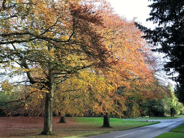
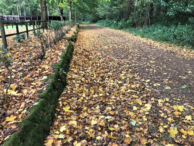
Bypass Wood is characterized by its dense woodland, which covers a significant portion of the area. The woodland is home to a variety of wildlife, including deer, rabbits, and various bird species, making it a haven for nature enthusiasts and birdwatchers. The trees in the forest are predominantly oak and beech, providing a rich and diverse ecosystem.
The village itself is relatively small, with a population of around 300 residents. It has a close-knit community, and the locals are known for their warm and friendly nature. While there are no major amenities in Bypass Wood, neighboring towns provide essential services such as shops, schools, and healthcare facilities.
The village is well-connected to the surrounding areas by road, with the A47 bypassing the village, hence the name Bypass Wood. This makes it easily accessible for visitors and commuters alike. The nearby countryside offers several walking and cycling routes, allowing residents and tourists to explore the beautiful landscape and enjoy the serenity of the area.
Overall, Bypass Wood, Norfolk is a charming village, known for its natural beauty and peaceful environment. It provides an idyllic setting for those looking to escape the hustle and bustle of city life and immerse themselves in the tranquility of the countryside.
If you have any feedback on the listing, please let us know in the comments section below.
Bypass Wood Images
Images are sourced within 2km of 52.841/0.49481183 or Grid Reference TF6829. Thanks to Geograph Open Source API. All images are credited.


Bypass Wood is located at Grid Ref: TF6829 (Lat: 52.841, Lng: 0.49481183)
Administrative County: Norfolk
District: King's Lynn and West Norfolk
Police Authority: Norfolk
What 3 Words
///reader.crank.liquid. Near Dersingham, Norfolk
Nearby Locations
Related Wikis
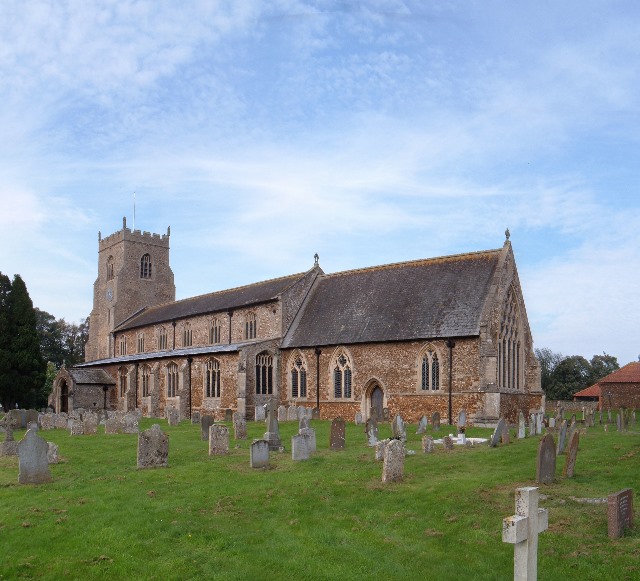
Dersingham
Dersingham is a village and civil parish in the English county of Norfolk. It is situated some 12 kilometres (7.5 mi) north of the town of King's Lynn...
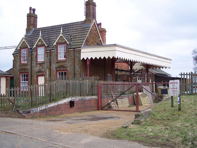
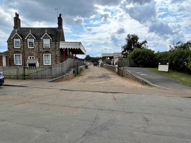
Dersingham railway station
Dersingham was a railway station on the King's Lynn to Hunstanton line which served the village of Dersingham, a few miles north of King's Lynn in North...

Dersingham Bog
Dersingham Bog is a 159.1-hectare (393-acre) biological and geological Site of Special Scientific Interest in Norfolk, England. It is a Nature Conservation...
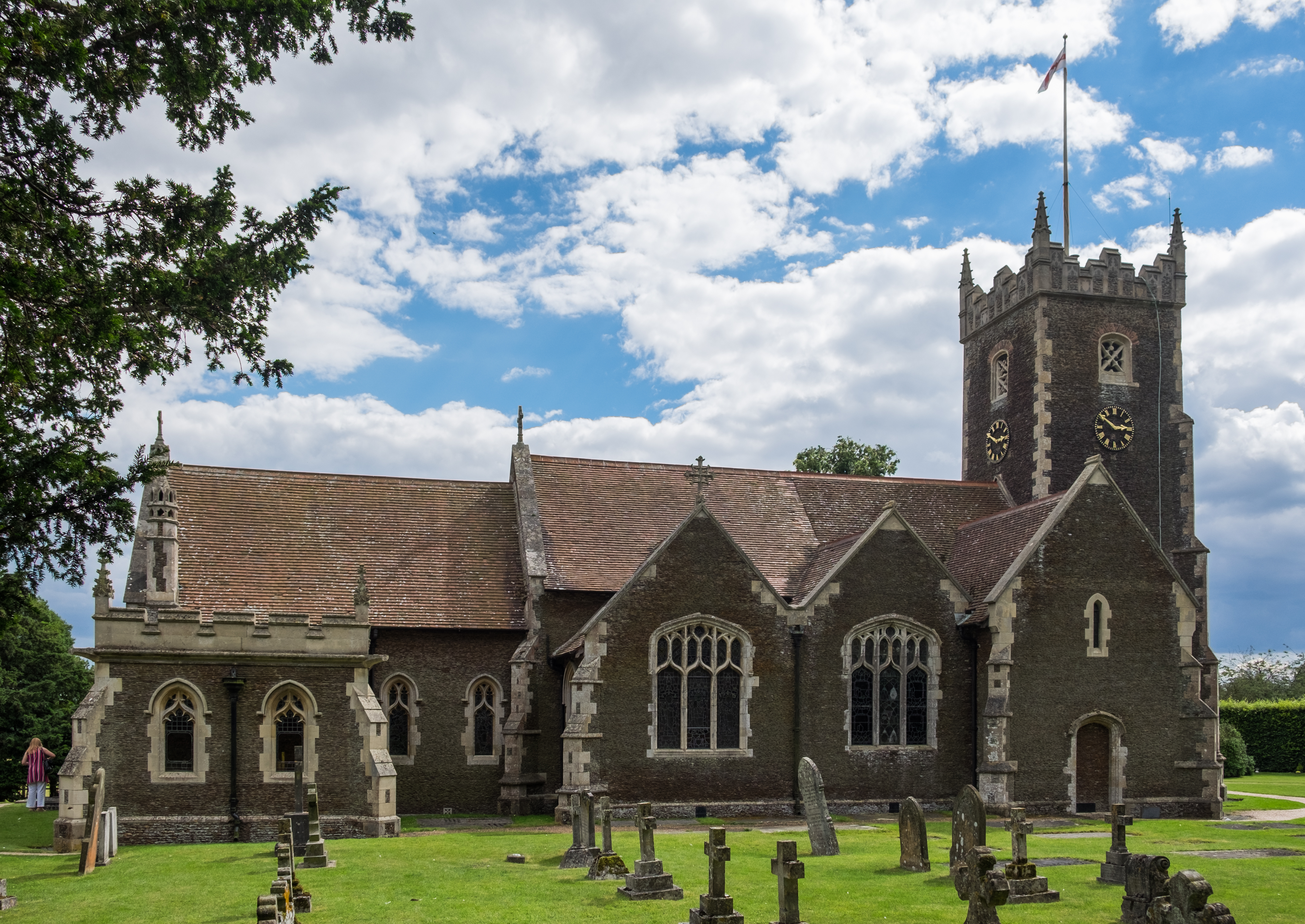
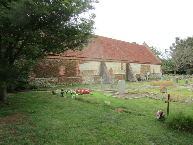
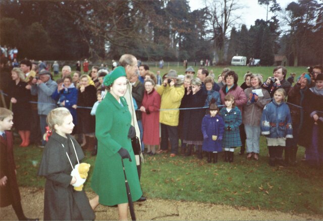
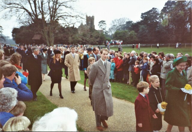
St Mary Magdalene Church, Sandringham
St Mary Magdalene Church is a church in Sandringham, Norfolk, England, located just to the southwest of Sandringham House. Members of the British Royal...

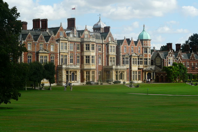
Sandringham House
Sandringham House is a country house in the parish of Sandringham, Norfolk, England. It is one of the royal residences of Charles III, whose grandfather...
Sandringham, Norfolk
Sandringham is a village and civil parish in the north of the English county of Norfolk. The village is situated 2 kilometres (1.2 mi) south of Dersingham...

York Cottage
York Cottage is a house in the grounds of Sandringham House in Norfolk, England. == History == The cottage was originally called the Bachelor's Cottage...
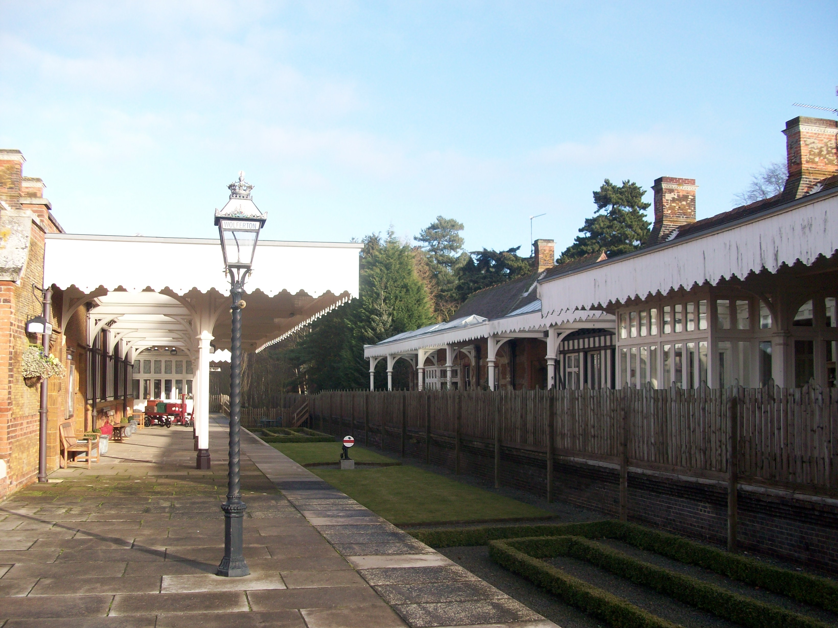
Wolferton railway station
Wolferton was a railway station on the Lynn and Hunstanton Railway line which opened in 1862 to serve the village of Wolferton in Norfolk, England. The...
Nearby Amenities
Located within 500m of 52.841,0.49481183Have you been to Bypass Wood?
Leave your review of Bypass Wood below (or comments, questions and feedback).