Wrenches Shaw
Wood, Forest in Kent Gravesham
England
Wrenches Shaw
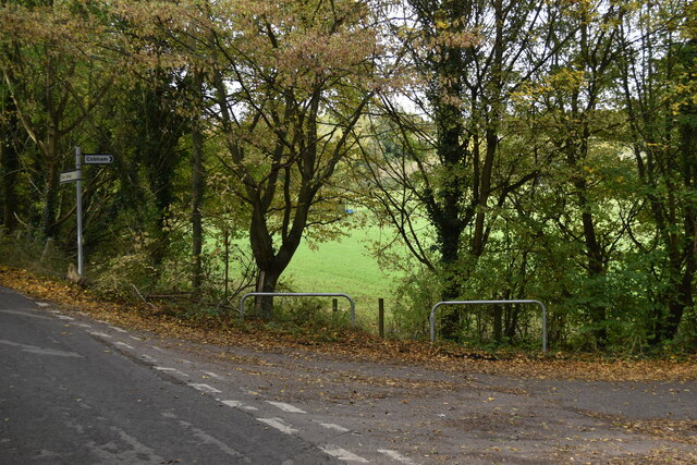
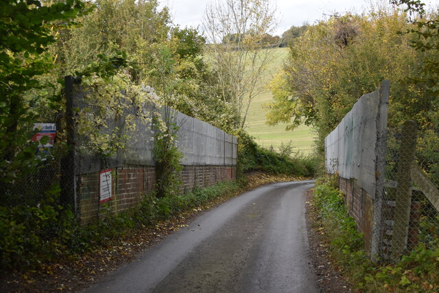
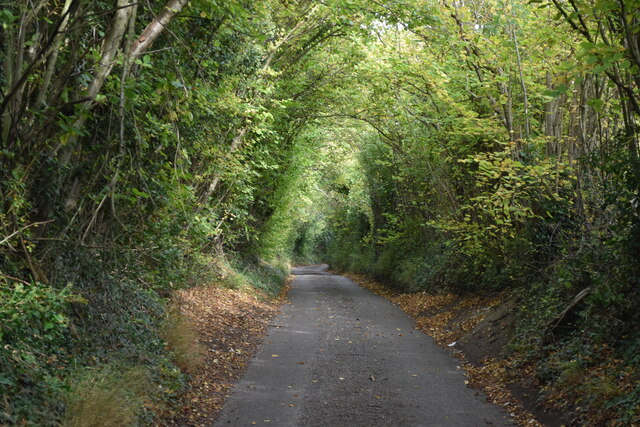
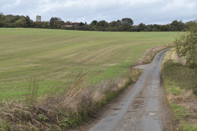
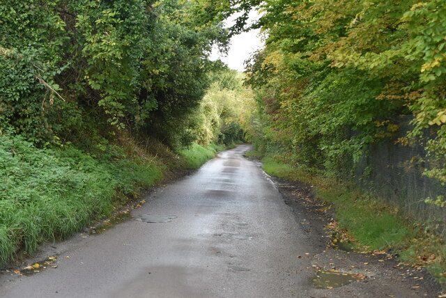
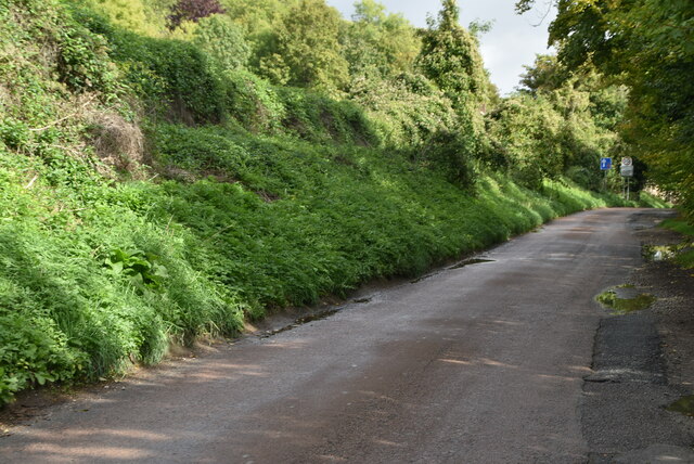
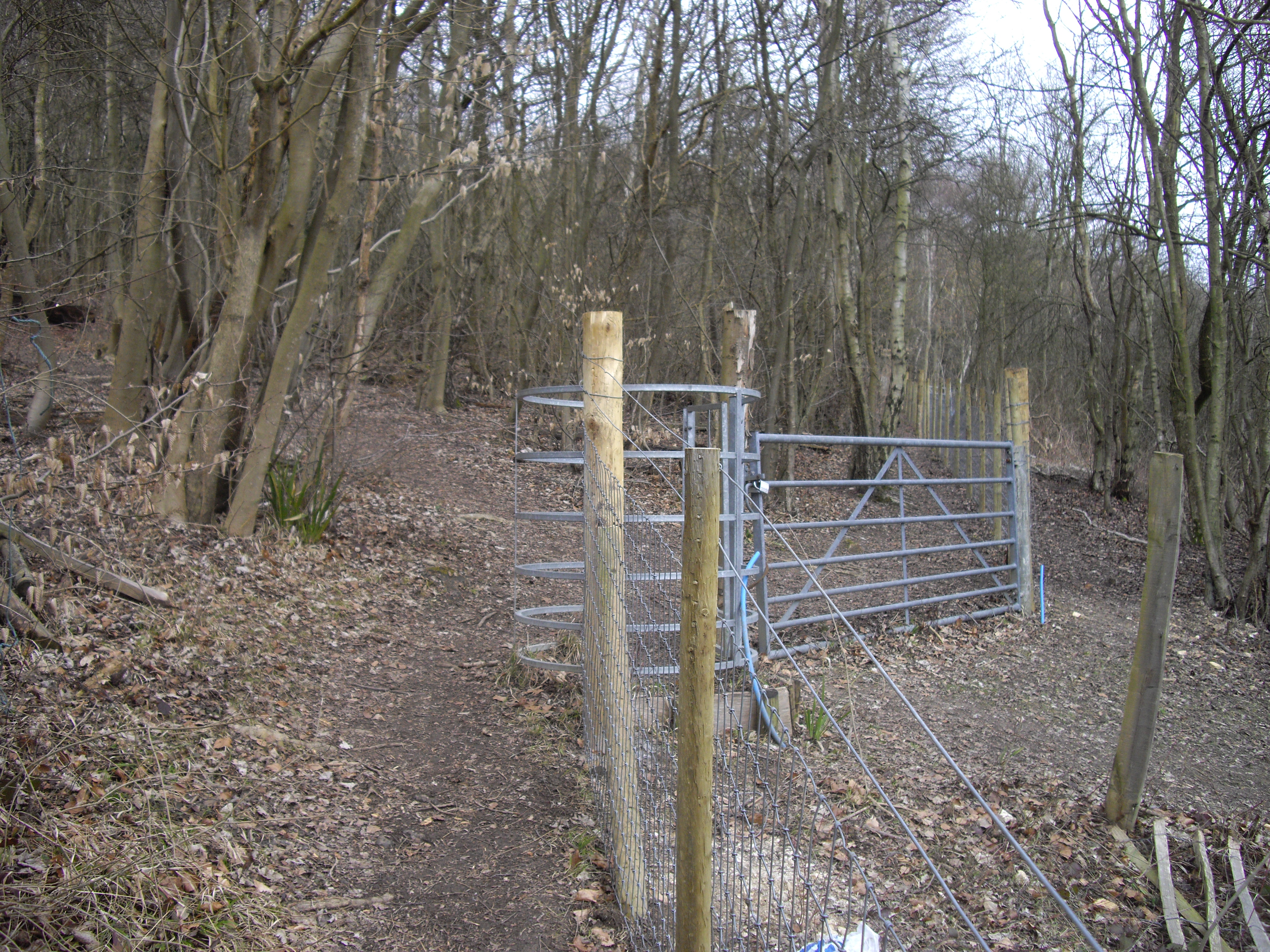
Wrenches Shaw, located in Kent, England, is a picturesque woodland area known for its natural beauty and tranquil surroundings. The forest, also referred to as Wood, Forest, is a popular destination for nature enthusiasts and outdoor lovers.
Covering an area of approximately [insert size] hectares, Wrenches Shaw is characterized by its dense vegetation, consisting mainly of oak, beech, and ash trees. The forest floor is covered with a variety of wildflowers, creating a vibrant and colorful landscape during the spring and summer months.
Visitors to Wrenches Shaw can enjoy a range of activities, including hiking, walking, and wildlife spotting. The forest is home to a diverse range of fauna, with several species of birds, small mammals, and insects calling it their habitat. It is not uncommon to spot squirrels, deer, and various bird species while exploring the area.
The forest is well-maintained, with designated walking trails and picnic areas for visitors to use. The serene atmosphere and peaceful surroundings make it an ideal spot for a leisurely stroll or a family picnic.
Wrenches Shaw is easily accessible by road, and there is ample parking available for those visiting by car. The forest is open to the public year-round, and there is no entrance fee, making it a popular destination for both locals and tourists looking to escape the hustle and bustle of city life.
Overall, Wrenches Shaw, Kent (Wood, Forest) offers a serene and enchanting experience for nature lovers, providing a tranquil retreat amidst the natural beauty of the Kentish countryside.
If you have any feedback on the listing, please let us know in the comments section below.
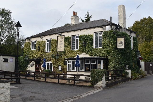
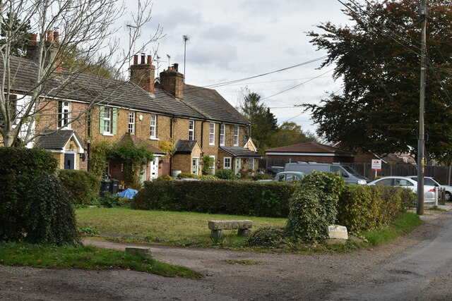
Wrenches Shaw Images
Images are sourced within 2km of 51.369222/0.41152772 or Grid Reference TQ6766. Thanks to Geograph Open Source API. All images are credited.


Wrenches Shaw is located at Grid Ref: TQ6766 (Lat: 51.369222, Lng: 0.41152772)
Administrative County: Kent
District: Gravesham
Police Authority: Kent
What 3 Words
///banks.normal.belt. Near Halling, Kent
Nearby Locations
Related Wikis
Luddesdown
Luddesdown () is a civil parish in the Gravesham District of Kent, England. == Geography == This very rural parish, forming part of the North Downs Area...
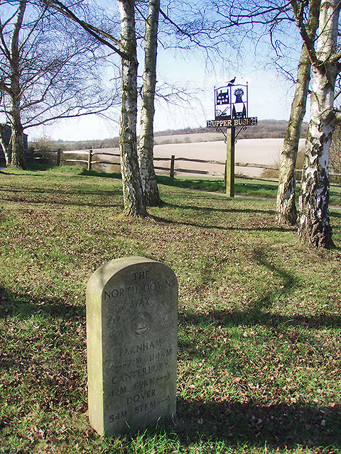
Upper Bush
Upper Bush is a hamlet in the parish of Cuxton, in the unitary authority of Medway, in Kent, England. The hamlet has only a few houses, including two Grade...
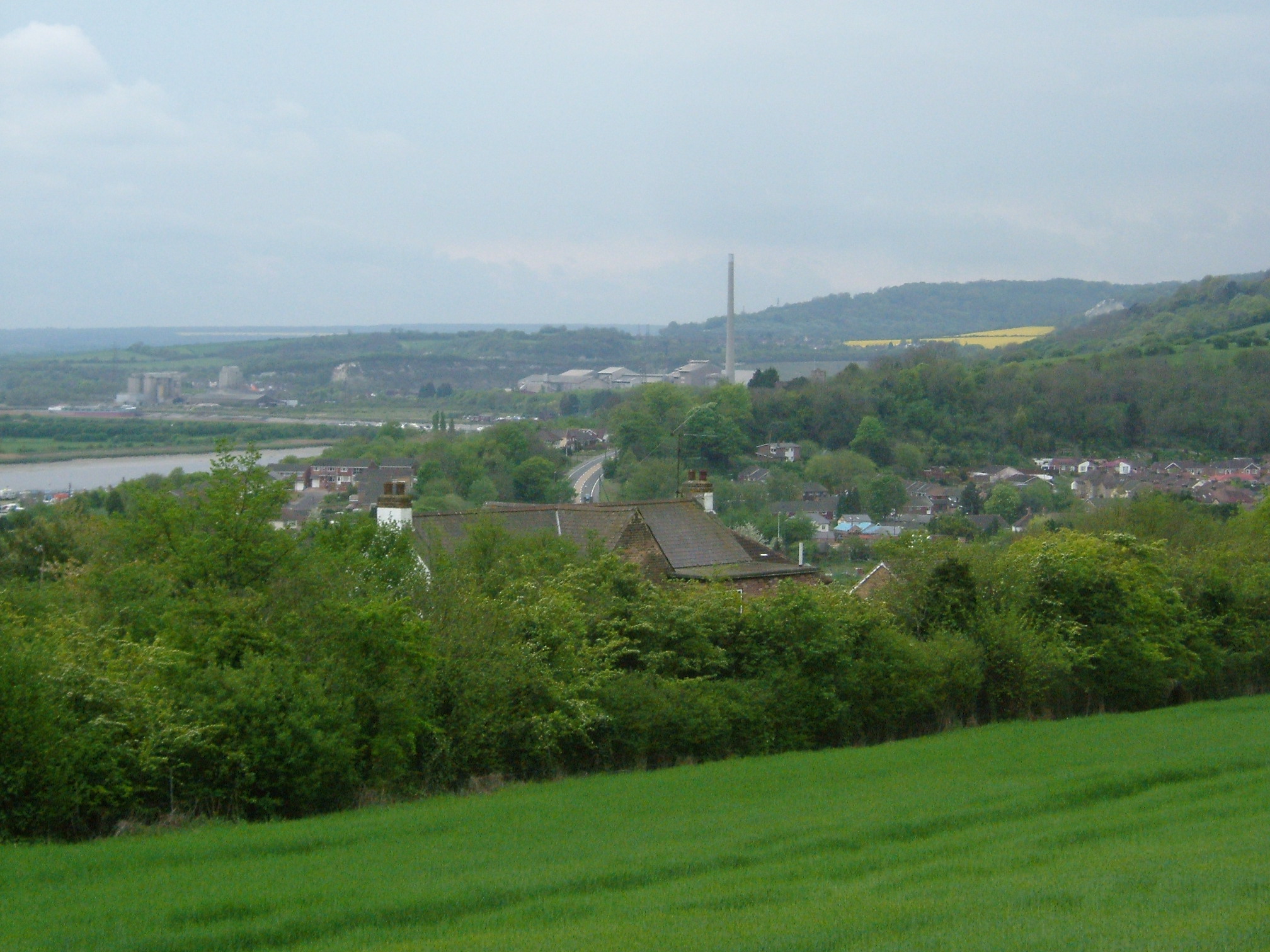
Halling to Trottiscliffe Escarpment
Halling to Trottiscliffe Escarpment is a 600.6-hectare (1,484-acre) biological Site of Special Scientific Interest which runs from Cuxton to Wrotham, west...

Cobham, Kent
Cobham () is a village and civil parish in the borough of Gravesham in Kent, England. The village is located 6 miles (10 km) south-east of Gravesend,...

Dode, Kent
Dode (in Old English, Dowde) was a village in England that was wiped out by the Black Death in 1349. All that remains is the deconsecrated church, which...

Darnley Mausoleum
The Darnley Mausoleum, or Cobham Mausoleum as it is often now referred to, is a Grade I Listed building, now owned by the National Trust and situated in...
Cuxton
Cuxton is a village in the unitary authority of Medway in South East England. It lies on the left bank of the River Medway in the North Downs. It is served...
Sole Street railway station
Sole Street railway station is on the Chatham Main Line in England, serving the village of Sole Street, near Cobham, Kent. It is 26 miles 71 chains (43...
Nearby Amenities
Located within 500m of 51.369222,0.41152772Have you been to Wrenches Shaw?
Leave your review of Wrenches Shaw below (or comments, questions and feedback).