Nine Acre Shaw
Wood, Forest in Kent Gravesham
England
Nine Acre Shaw
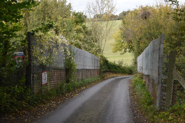
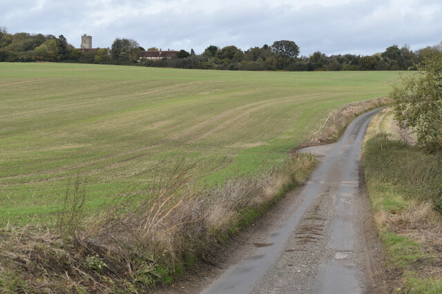
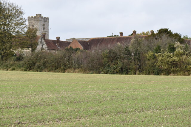
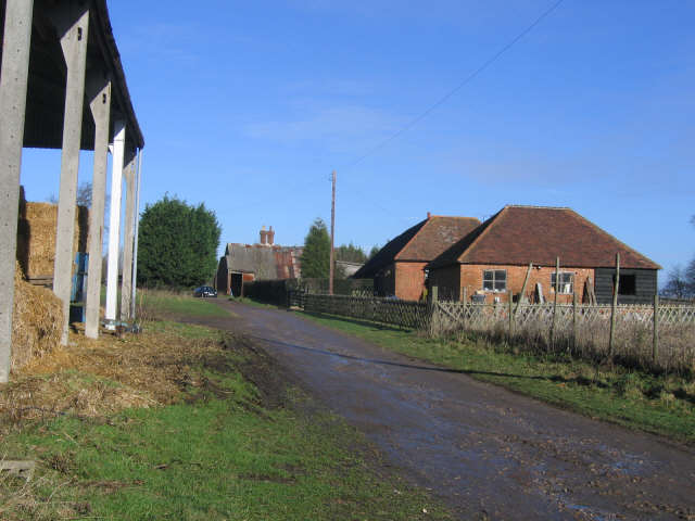
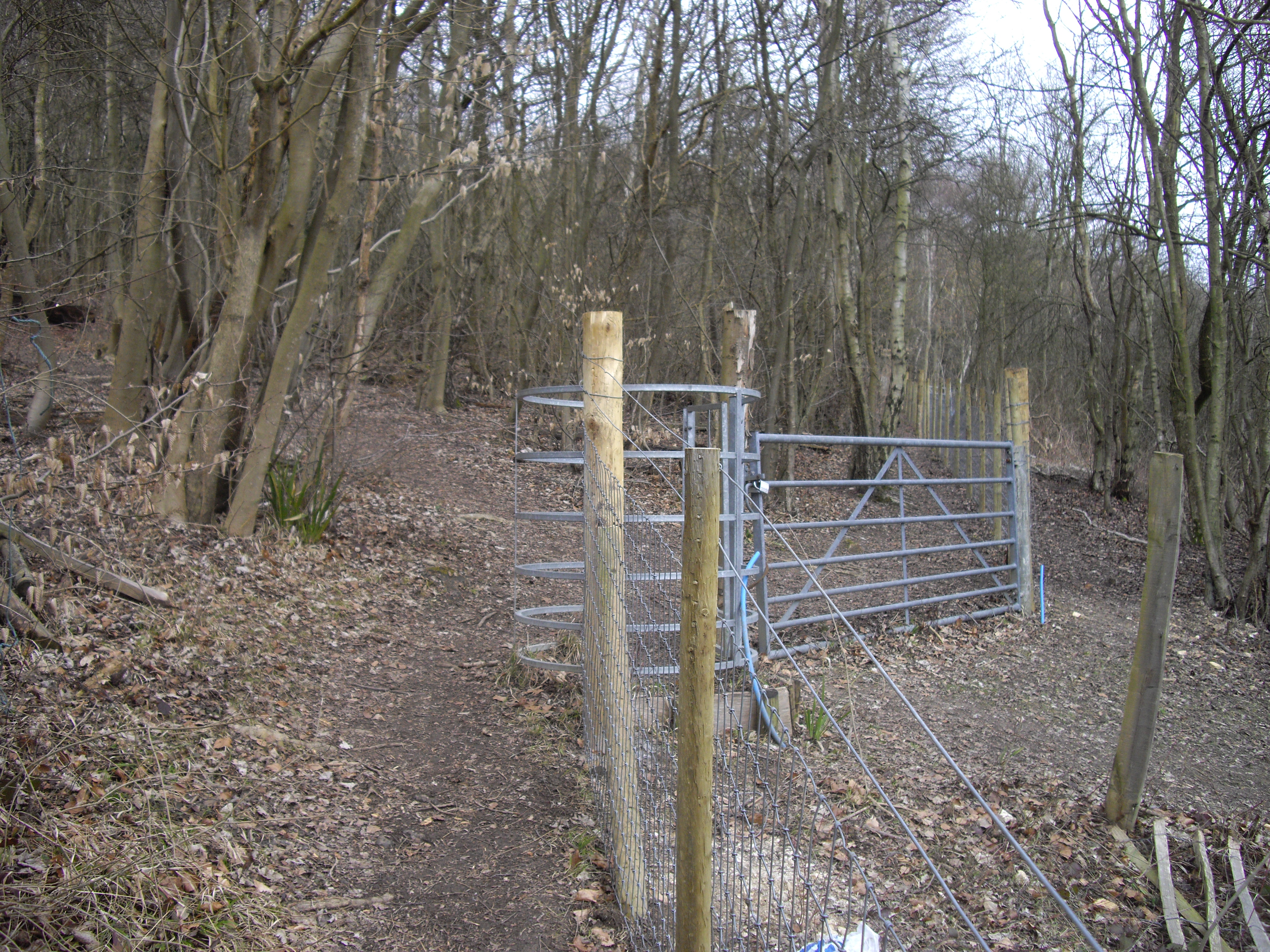
Nine Acre Shaw, located in Kent, is a picturesque wood or forest spanning an area of approximately nine acres. Situated near the village of Kent, this natural oasis offers a diverse range of flora and fauna, attracting nature enthusiasts and hikers alike.
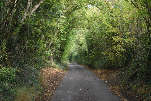
The woodland is characterized by a mix of broadleaf and coniferous trees, including oak, beech, birch, and pine, which create a dense canopy overhead. These trees provide a habitat for various species of birds, such as woodpeckers, owls, and thrushes, making it an ideal spot for birdwatching.
Furthermore, Nine Acre Shaw boasts a rich undergrowth of ferns, bluebells, and wildflowers, which add vibrant splashes of color throughout the seasons. The forest floor is also home to a variety of mammals, including rabbits, squirrels, and foxes.
A network of well-maintained trails meanders through the woodland, allowing visitors to explore the area and appreciate its natural beauty. These paths are suitable for both leisurely strolls and more adventurous hikes, accommodating all levels of fitness.
Nine Acre Shaw provides an escape from the hustle and bustle of everyday life, offering a peaceful and tranquil setting for relaxation and contemplation. The forest's serene atmosphere makes it a popular destination for nature lovers seeking solace in the great outdoors.
Whether it's observing wildlife, enjoying a picnic, or simply immersing oneself in nature's wonders, Nine Acre Shaw is a hidden gem that showcases the beauty of Kent's woodlands and provides a refreshing respite from urban life.
If you have any feedback on the listing, please let us know in the comments section below.
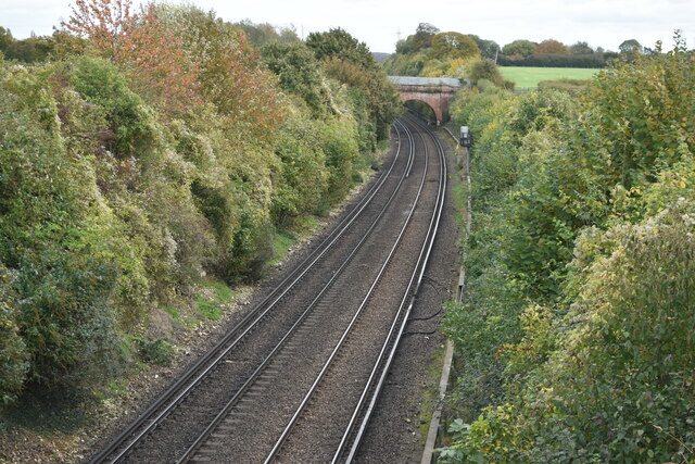
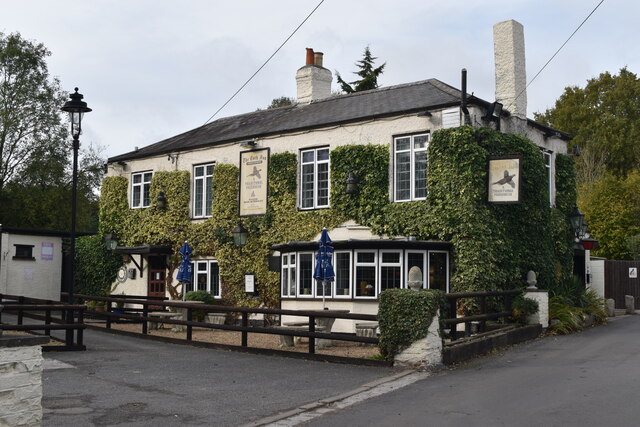
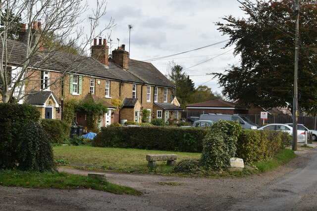
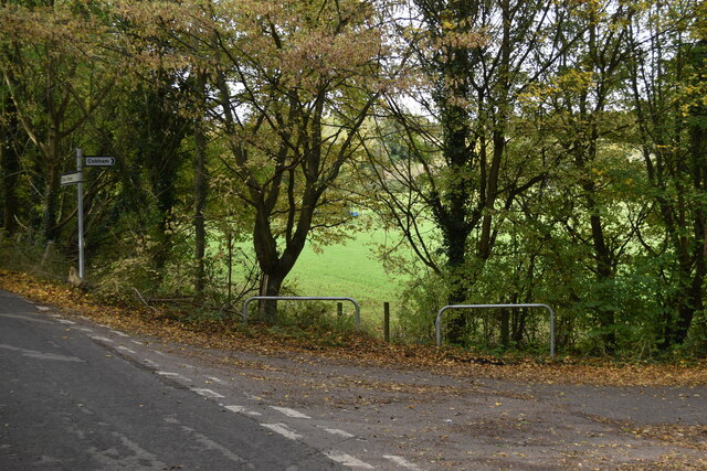
Nine Acre Shaw Images
Images are sourced within 2km of 51.372602/0.4111737 or Grid Reference TQ6766. Thanks to Geograph Open Source API. All images are credited.


Nine Acre Shaw is located at Grid Ref: TQ6766 (Lat: 51.372602, Lng: 0.4111737)
Administrative County: Kent
District: Gravesham
Police Authority: Kent
What 3 Words
///slowly.hotels.nets. Near Cuxton, Kent
Nearby Locations
Related Wikis
Luddesdown
Luddesdown () is a civil parish in the Gravesham District of Kent, England. == Geography == This very rural parish, forming part of the North Downs Area...
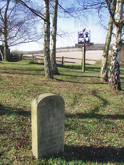
Upper Bush
Upper Bush is a hamlet in the parish of Cuxton, in the unitary authority of Medway, in Kent, England. The hamlet has only a few houses, including two Grade...

Cobham, Kent
Cobham () is a village and civil parish in the borough of Gravesham in Kent, England. The village is located 6 miles (10 km) south-east of Gravesend,...

Darnley Mausoleum
The Darnley Mausoleum, or Cobham Mausoleum as it is often now referred to, is a Grade I Listed building, now owned by the National Trust and situated in...

Cobham Park (cricket ground)
Cobham Park near Cobham, Kent and located within the grounds of the Cobham Hall estate, was used a cricket ground. It was used as the venue for a single...
Cobham Hall School
Cobham Hall School is a private day and boarding school in the English parish of Cobham, Kent, for girls only in Years 7 to 11 and co-educational in the...
Cobham Hall
Cobham Hall is an English country house in the county of Kent, England. The grade I listed building is one of the largest and most important houses in...
Halling to Trottiscliffe Escarpment
Halling to Trottiscliffe Escarpment is a 600.6-hectare (1,484-acre) biological Site of Special Scientific Interest which runs from Cuxton to Wrotham, west...
Nearby Amenities
Located within 500m of 51.372602,0.4111737Have you been to Nine Acre Shaw?
Leave your review of Nine Acre Shaw below (or comments, questions and feedback).