Folly Covert
Wood, Forest in Norfolk King's Lynn and West Norfolk
England
Folly Covert

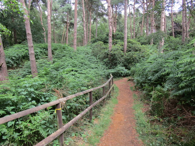
Folly Covert is a picturesque woodland located in Norfolk, England. Covering an area of approximately 20 acres, it is nestled in the heart of the Norfolk countryside. The covert is primarily composed of a mix of deciduous and coniferous trees, creating a diverse and enchanting landscape.
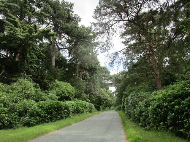
As visitors venture into Folly Covert, they are greeted by a well-maintained network of footpaths that wind their way through the woodland. These pathways allow for leisurely strolls, providing ample opportunities to explore the flora and fauna that call this woodland home. The trees tower above, casting dappled sunlight onto the forest floor, creating a serene and tranquil atmosphere.
Wildlife thrives within Folly Covert, with a diverse range of species making their homes here. Bird enthusiasts will be delighted to spot a variety of feathered friends, including woodpeckers, nuthatches, and thrushes. Squirrels scurry up and down the trees, while elusive deer can occasionally be spotted grazing in the quieter areas of the woodland.
Folly Covert also boasts a rich history, with evidence of its past visible in the form of ancient earthworks and boundary ditches. It is believed that the woodland has been in existence for several centuries, providing a valuable resource for timber and game for many generations.
Overall, Folly Covert in Norfolk offers visitors a peaceful and captivating experience. Whether it is exploring the woodland trails, observing the diverse wildlife, or simply immersing oneself in the tranquility of nature, Folly Covert is a true gem in the Norfolk countryside.
If you have any feedback on the listing, please let us know in the comments section below.
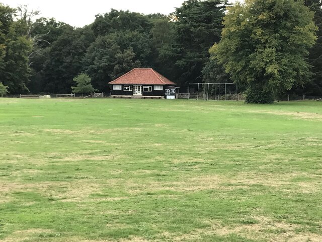
Folly Covert Images
Images are sourced within 2km of 52.821756/0.48628751 or Grid Reference TF6727. Thanks to Geograph Open Source API. All images are credited.


![Fungus on an old tree trunk in Sandringham House gardens Many thanks to Mike Richardson <a title="https://www.geograph.org.uk/profile/15498" href="https://www.geograph.org.uk/profile/15498">Link</a> who informed me this is a Beefsteak fungus [Fistulina hepatica]](https://s2.geograph.org.uk/geophotos/07/31/48/7314866_b51e4489.jpg)

Folly Covert is located at Grid Ref: TF6727 (Lat: 52.821756, Lng: 0.48628751)
Administrative County: Norfolk
District: King's Lynn and West Norfolk
Police Authority: Norfolk
What 3 Words
///scam.cold.confetti. Near Dersingham, Norfolk
Nearby Locations
Related Wikis

Dersingham Bog
Dersingham Bog is a 159.1-hectare (393-acre) biological and geological Site of Special Scientific Interest in Norfolk, England. It is a Nature Conservation...
Babingley
Babingley is a village and former civil parish, now in the parish of Sandringham, in the King's Lynn and West Norfolk district, in the county of Norfolk...
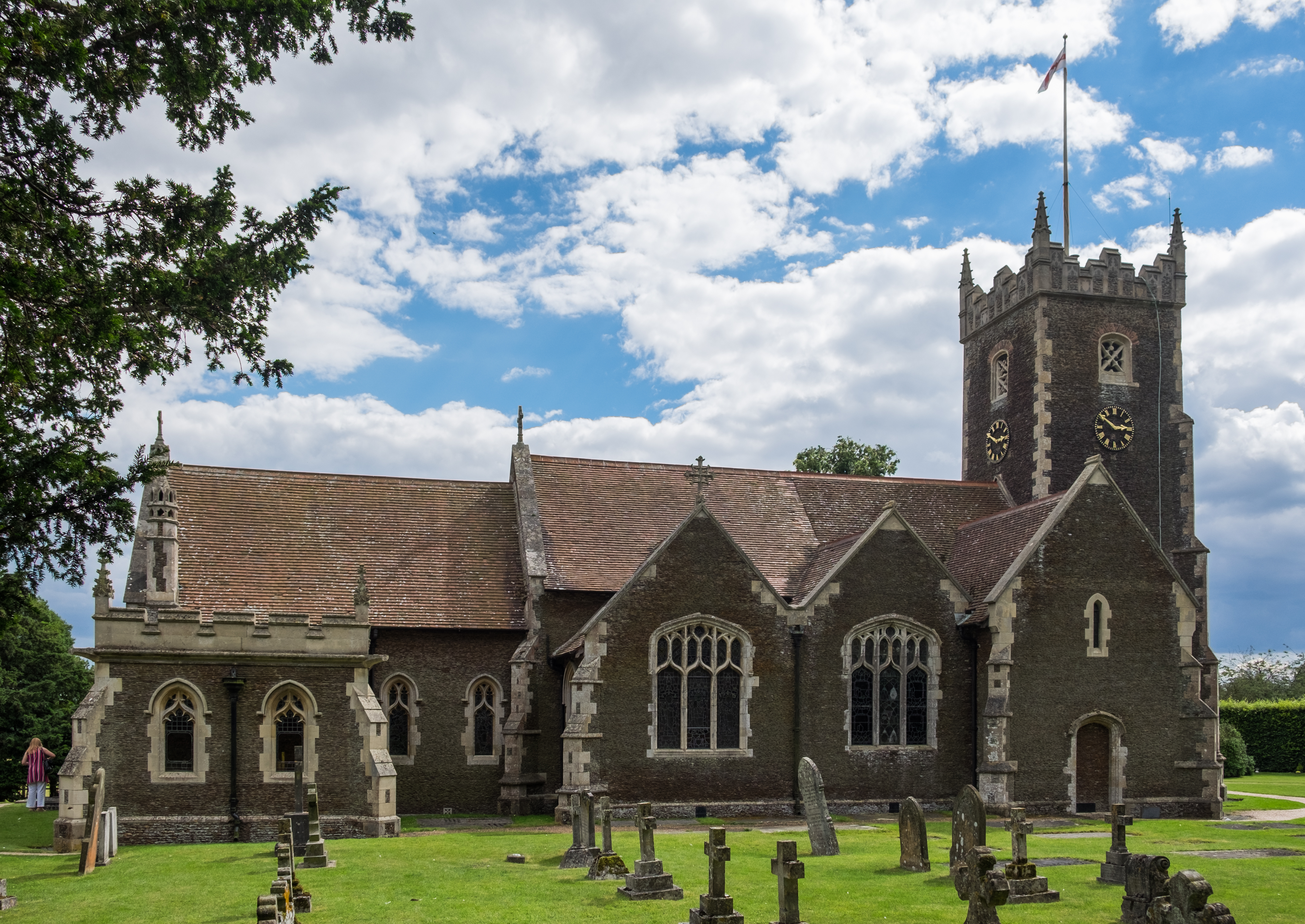
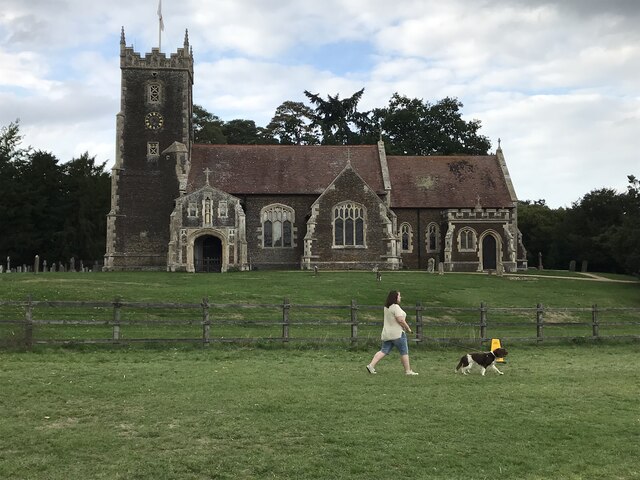
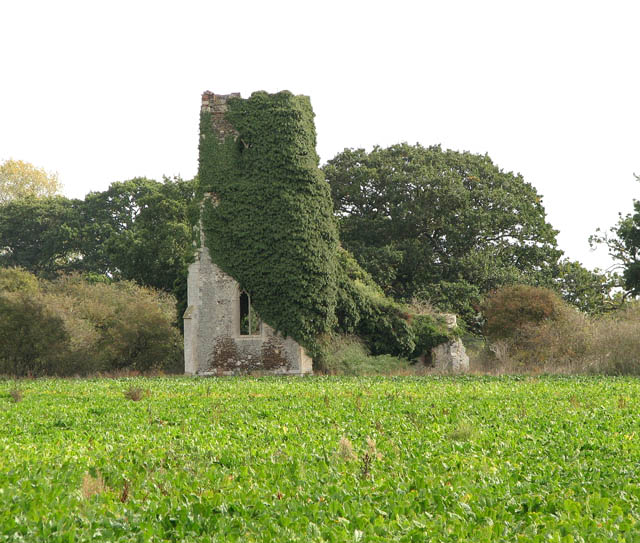
St Mary Magdalene Church, Sandringham
St Mary Magdalene Church is a church in Sandringham, Norfolk, England, located just to the southwest of Sandringham House. Members of the British Royal...
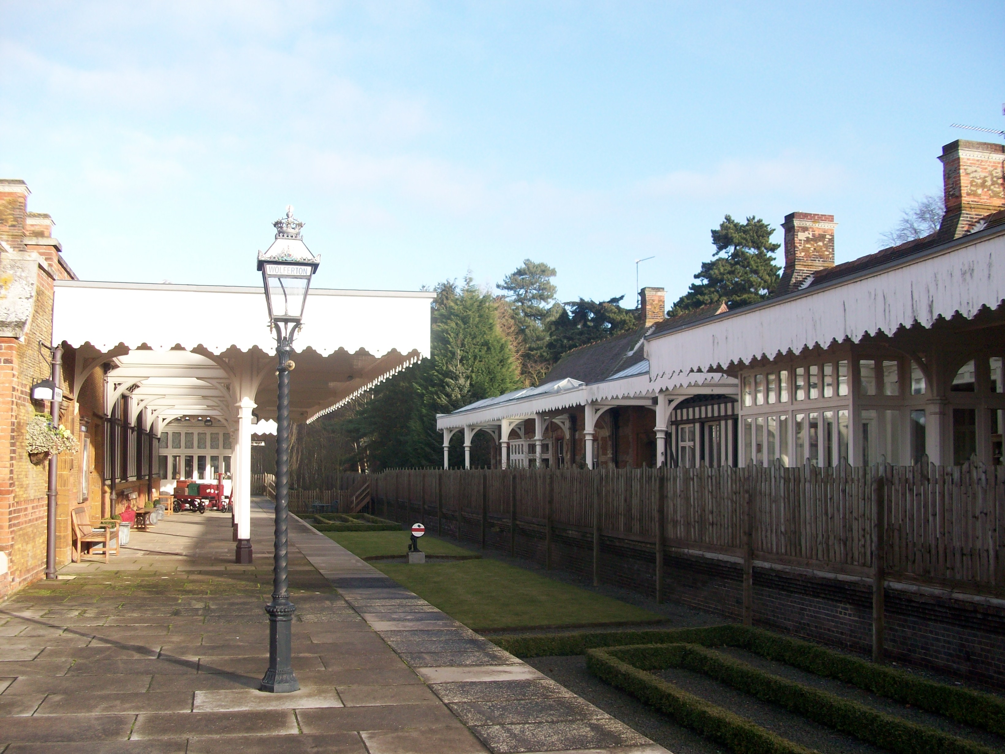
Wolferton railway station
Wolferton was a railway station on the Lynn and Hunstanton Railway line which opened in 1862 to serve the village of Wolferton in Norfolk, England. The...
Nearby Amenities
Located within 500m of 52.821756,0.48628751Have you been to Folly Covert?
Leave your review of Folly Covert below (or comments, questions and feedback).