College Wood
Wood, Forest in Kent Gravesham
England
College Wood
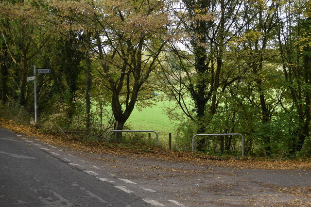
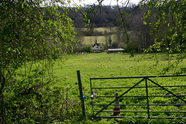
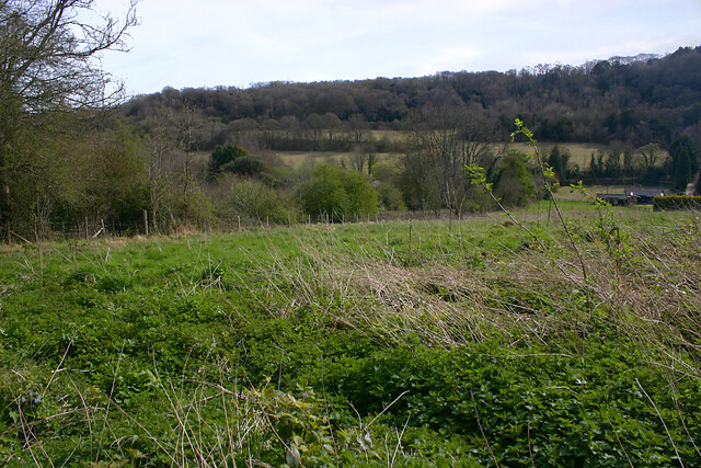
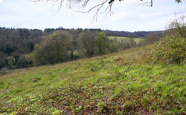
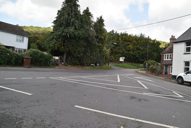
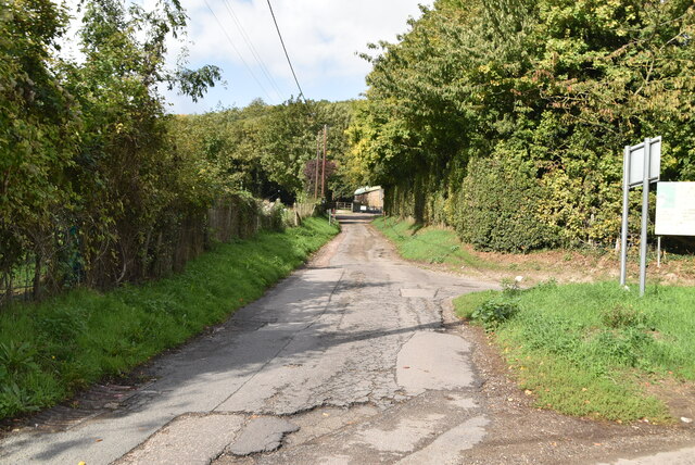
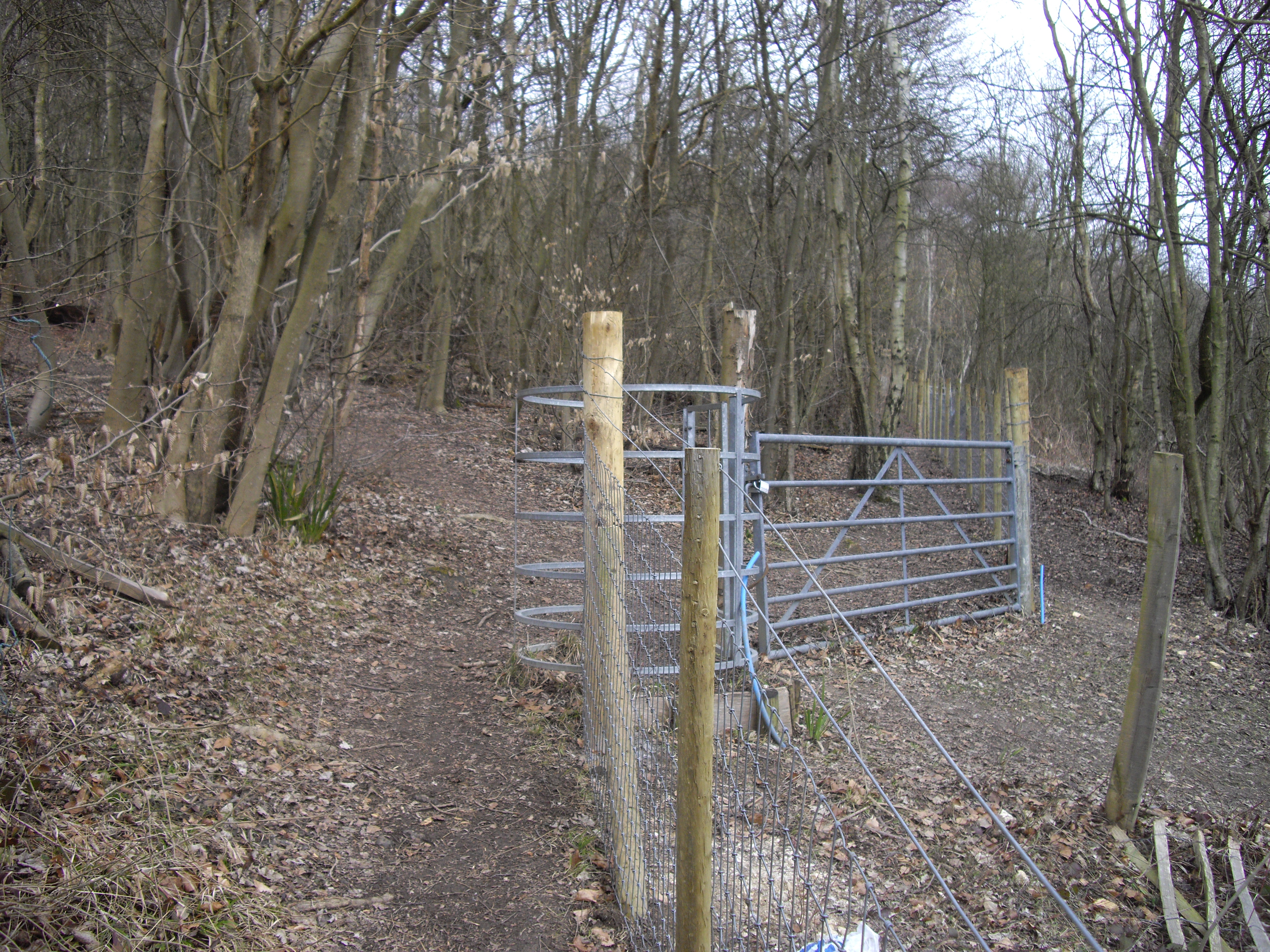
College Wood is a picturesque forest located in the county of Kent, England. Spanning over a vast area, this woodland is part of the larger Blean Woods complex, which is one of the largest and most important ancient woodlands in the southeast of England. The wood is situated near the town of Canterbury and is easily accessible for visitors.
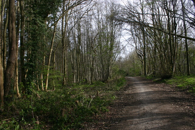
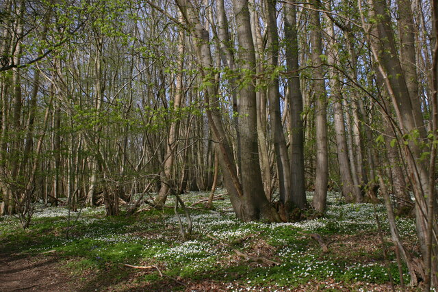
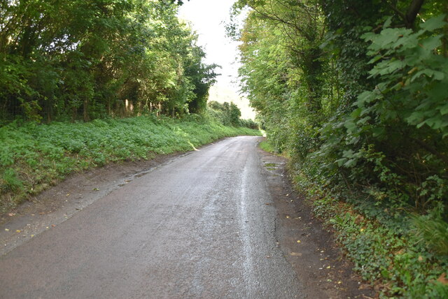
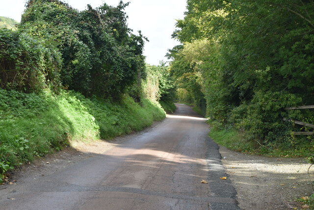
The wood is characterized by a diverse range of tree species, including oak, beech, birch, and hornbeam. These trees create a dense canopy, providing shade and shelter for a variety of wildlife. Visitors can explore the numerous walking trails that wind their way through the forest, allowing them to immerse themselves in the tranquility and beauty of the natural surroundings.
College Wood is not only known for its scenic beauty but also for its rich historical significance. It was once part of a larger estate owned by the Archbishops of Canterbury, and remnants of a medieval deer park can still be seen within the woodland. The wood was also used as a source of timber for shipbuilding during the 18th and 19th centuries, further adding to its historical importance.
Today, College Wood serves as a popular destination for nature enthusiasts, walkers, and those seeking a peaceful retreat. The forest provides a valuable habitat for a wide range of flora and fauna, including rare butterfly species and woodland birds. It is also a designated Site of Special Scientific Interest (SSSI) due to its ecological significance.
In conclusion, College Wood in Kent offers a captivating blend of natural beauty, historical significance, and ecological importance. Its stunning landscape and diverse wildlife make it a must-visit location for anyone seeking a connection with nature.
If you have any feedback on the listing, please let us know in the comments section below.
College Wood Images
Images are sourced within 2km of 51.359864/0.40608015 or Grid Reference TQ6765. Thanks to Geograph Open Source API. All images are credited.


College Wood is located at Grid Ref: TQ6765 (Lat: 51.359864, Lng: 0.40608015)
Administrative County: Kent
District: Gravesham
Police Authority: Kent
What 3 Words
///edit.saving.trash. Near Halling, Kent
Nearby Locations
Related Wikis
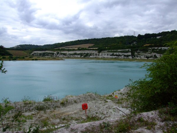
Halling to Trottiscliffe Escarpment
Halling to Trottiscliffe Escarpment is a 600.6-hectare (1,484-acre) biological Site of Special Scientific Interest which runs from Cuxton to Wrotham, west...

Dode, Kent
Dode (in Old English, Dowde) was a village in England that was wiped out by the Black Death in 1349. All that remains is the deconsecrated church, which...
Luddesdown
Luddesdown () is a civil parish in the Gravesham District of Kent, England. == Geography == This very rural parish, forming part of the North Downs Area...
Houlder and Monarch Hill Pits, Upper Halling
Houlder and Monarch Hill Pits is a 0.7-hectare (1.7-acre) geological Site of Special Scientific Interest in Upper Halling in Kent, England. It is a Geological...
Upper Bush
Upper Bush is a hamlet in the parish of Cuxton, in the unitary authority of Medway, in Kent, England. The hamlet has only a few houses, including two Grade...
Halling, Kent
Halling is a village on the North Downs in the northern part of Kent, England. Consisting of Lower Halling, Upper Halling and North Halling, it is scattered...
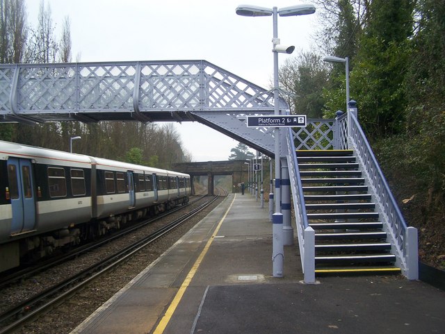
Halling railway station
Halling railway station is on the Medway Valley Line in Kent, England, and lies a little to the north of the village of Halling. It is 35 miles 18 chains...
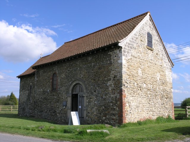
St Benedict's Church, Paddlesworth
St Benedict's Church is a redundant Anglican church in the village of Paddlesworth, Kent, England. It is recorded in the National Heritage List for England...
Nearby Amenities
Located within 500m of 51.359864,0.40608015Have you been to College Wood?
Leave your review of College Wood below (or comments, questions and feedback).