Fernhill
Settlement in Surrey Crawley
England
Fernhill
Fernhill is a small village located in the county of Surrey, in the southeastern region of England. Situated about 35 miles southwest of London, Fernhill is surrounded by picturesque countryside and offers residents a peaceful and idyllic setting to call home.
The village is characterized by its charming rural atmosphere, with traditional houses and cottages dotting the landscape. Fernhill is known for its strong sense of community, and residents often gather for local events and festivals, fostering a friendly and welcoming environment.
Despite its small size, Fernhill offers a range of amenities and services to its residents. These include a primary school, a village hall, and a handful of local shops and businesses that cater to the needs of the community. For more extensive shopping and entertainment options, residents can easily access the nearby towns of Farnham and Aldershot, which are both within a short drive of Fernhill.
Nature lovers will appreciate the abundance of green spaces and outdoor activities available in and around Fernhill. The village is surrounded by rolling hills, woodlands, and meadows, providing ample opportunities for scenic walks, cycling, and horse riding. Additionally, the nearby Alice Holt Forest offers a popular destination for family outings and picnics.
Overall, Fernhill offers a tranquil and close-knit community within easy reach of larger towns and cities, making it an attractive place to live for those seeking a balance between rural living and urban conveniences.
If you have any feedback on the listing, please let us know in the comments section below.
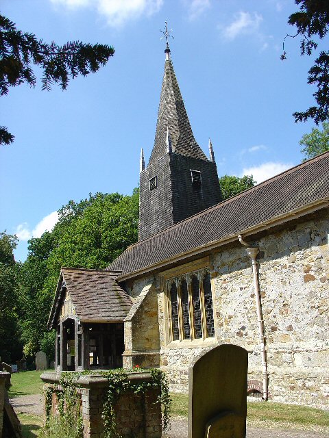
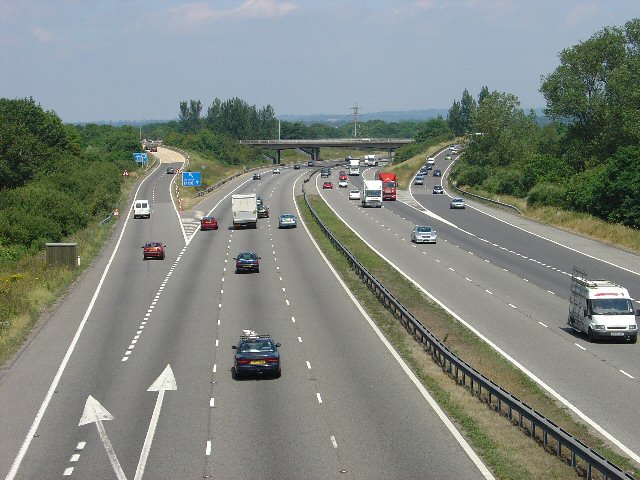
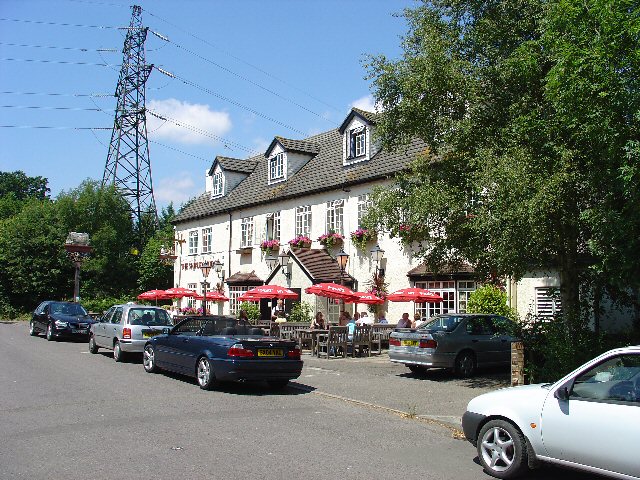
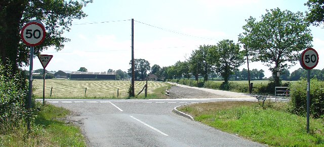
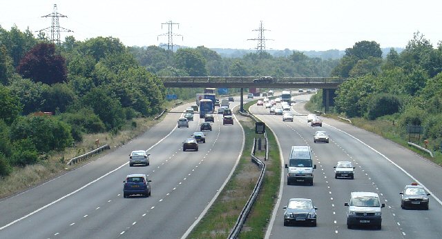
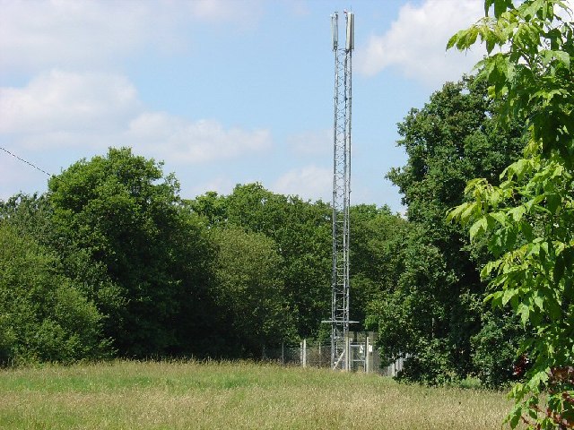
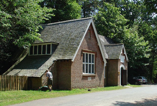
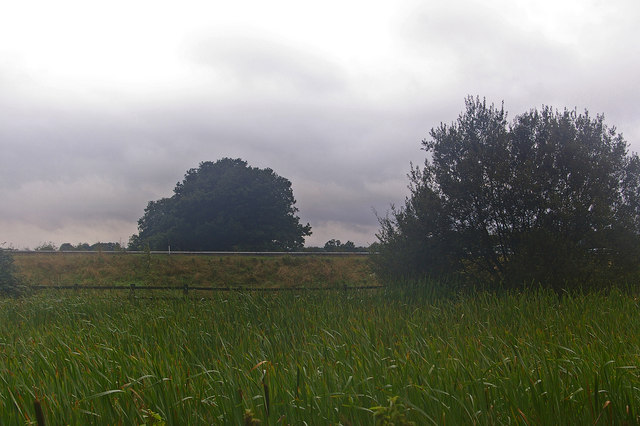
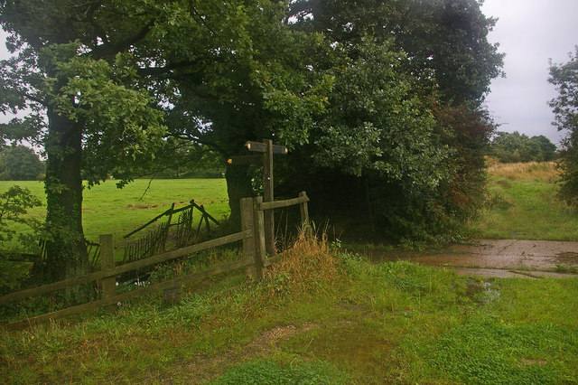
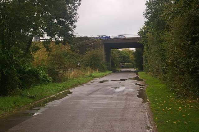
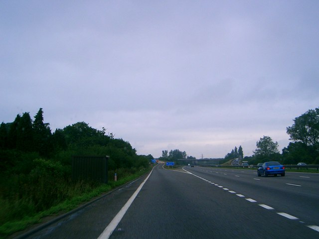
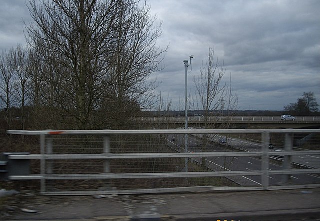
Fernhill Images
Images are sourced within 2km of 51.154485/-0.138794 or Grid Reference TQ3041. Thanks to Geograph Open Source API. All images are credited.

Fernhill is located at Grid Ref: TQ3041 (Lat: 51.154485, Lng: -0.138794)
Administrative County: West Sussex
District: Crawley
Police Authority: Sussex
What 3 Words
///mile.rings.clap. Near Copthorne, West Sussex
Nearby Locations
Related Wikis

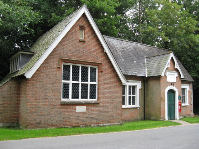
Fernhill, West Sussex
Fernhill is a hamlet close to Gatwick Airport in West Sussex, England. Its fields and farmhouses formerly straddled the county boundary between Surrey...

Ariana Afghan Airlines Flight 701
Ariana Afghan Airlines Flight 701 was the flight involved in a fatal air accident on 5 January 1969, when a Boeing 727 with 62 people on board crashed...
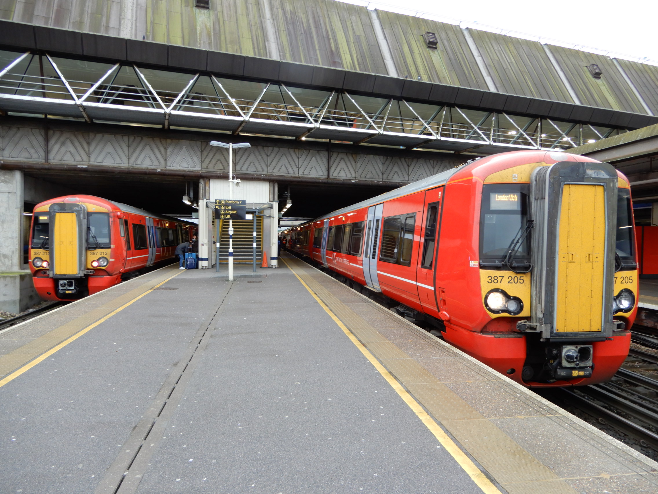
Gatwick Airport railway station
Gatwick Airport railway station is on the Brighton Main Line in West Sussex, England. It serves Gatwick Airport, 26 miles 47 chains (42.8 km) down the...
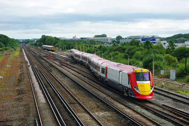
Gatwick Airport Up sidings
Gatwick Airport Up sidings are located near London Gatwick Airport, Crawley, England, situated on the Brighton Main Line south of Gatwick Airport station...

Tinsley Green, West Sussex
Tinsley Green is an area in the Borough of Crawley, one of seven local government districts in the English county of West Sussex. Originally a hamlet...

City Place Gatwick
City Place Gatwick is an office complex located on the property of London Gatwick Airport in Crawley, West Sussex, England. The complex includes four buildings...

Beehive, Gatwick Airport
The Beehive is the original terminal building at Gatwick Airport, England. Opened in 1936, it became obsolete in the 1950s as the airport expanded. In...
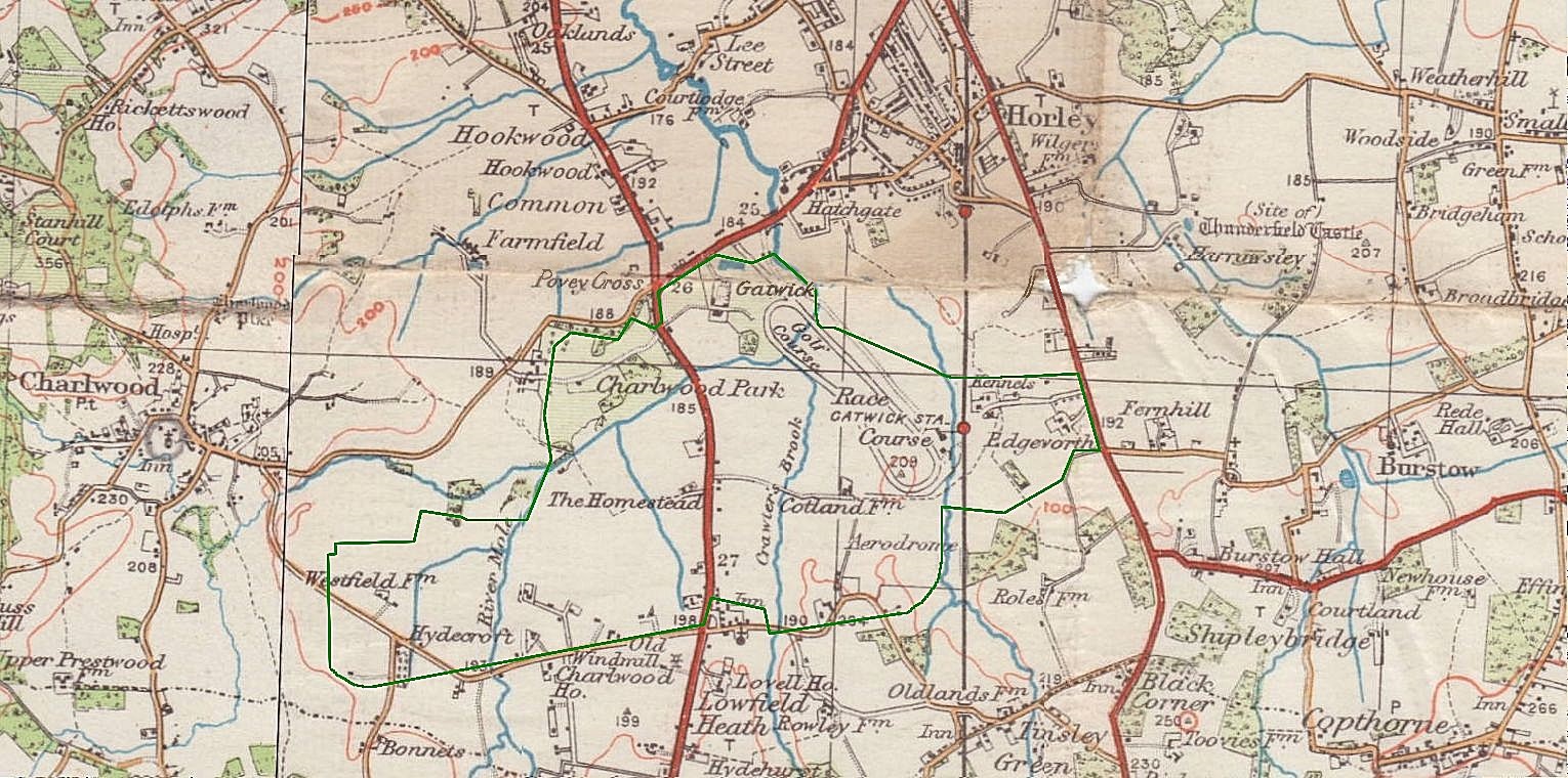
Gatwick Racecourse
Gatwick Racecourse was a racecourse in the county of Surrey, England near to Horley and Lowfield Heath. It was in use from 1891 to 1940 when it was closed...
Nearby Amenities
Located within 500m of 51.154485,-0.138794Have you been to Fernhill?
Leave your review of Fernhill below (or comments, questions and feedback).