Bridges Wood

Wood, Forest in Surrey Tandridge

England

Bridges Wood

St Bartholomew Church, Burstow, Surrey A delightful half timbered 11th century Church of England church in this tranquil village (other than all of Gatwick airports air traffic that thunders a few hundred metres overhead!). Restored 184-95.
More info at <span class="nowrap"><a title="http://www.achurchnearyou.com/page.php?V=565&P=207" rel="nofollow ugc noopener" href="http://www.achurchnearyou.com/page.php?V=565&P=207">Link</a><img style="margin-left:2px;" alt="External link" title="External link - shift click to open in new window" src="https://s1.geograph.org.uk/img/external.png" width="10" height="10"/></span>
St Bartholomew Church, Burstow, Surrey Credit: Pete Chapman

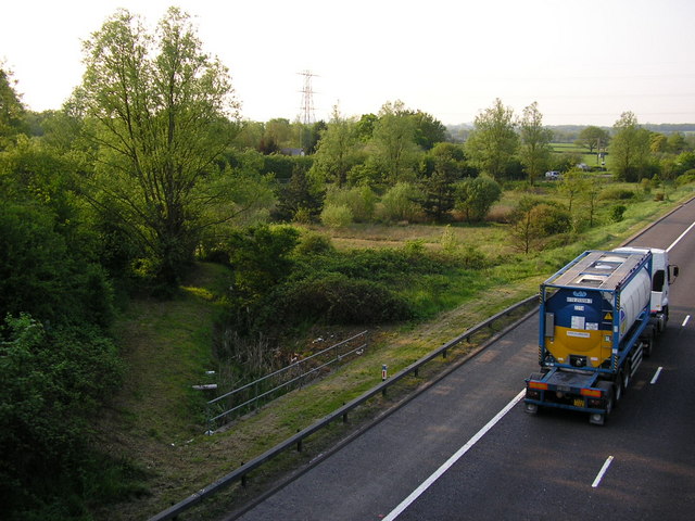
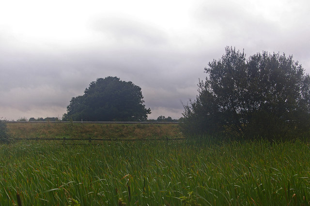
Bridges Wood is a picturesque forest located in Surrey, England. Covering an area of approximately 100 acres, it is a popular destination for nature lovers, hikers, and wildlife enthusiasts. The wood is nestled within the charming countryside, surrounded by rolling hills and meandering streams, providing a serene and tranquil atmosphere for visitors.

The forest is primarily composed of broadleaf trees, including oak, beech, and birch, creating a diverse and rich ecosystem. The dense canopy of the wood offers shade and shelter to a wide variety of fauna, making it a haven for numerous bird species, small mammals, and insects. Visitors can often spot woodpeckers, deer, and squirrels as they explore the winding trails that crisscross the woodland.

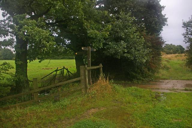
Bridges Wood boasts an extensive network of footpaths and bridleways, allowing visitors to explore its natural beauty. The trails wind through ancient woodlands, offering glimpses of vibrant wildflowers and rare plant species. One of the highlights of the wood is the picturesque Bridges Brook, a babbling stream that meanders through the forest, adding to the enchanting ambiance.

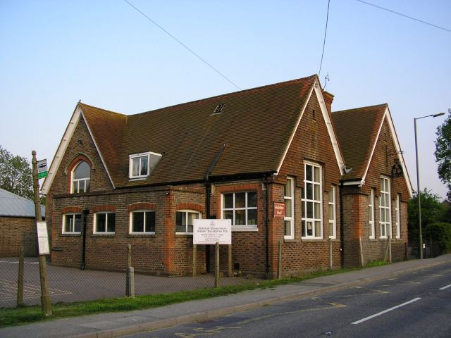
Managed by the local authorities, Bridges Wood offers a range of amenities to enhance visitors' experience. These include picnic areas, benches, and information boards providing insights into the local flora and fauna. The wood is also a popular spot for educational activities and guided walks, allowing visitors to learn more about the delicate balance of the forest ecosystem.

Overall, Bridges Wood in Surrey is a captivating destination that invites visitors to immerse themselves in the beauty of nature. With its diverse wildlife, scenic trails, and peaceful surroundings, it offers a delightful escape from the hustle and bustle of everyday life.

If you have any feedback on the listing, please let us know in the comments section below.
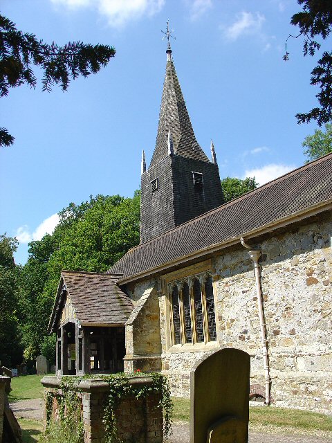
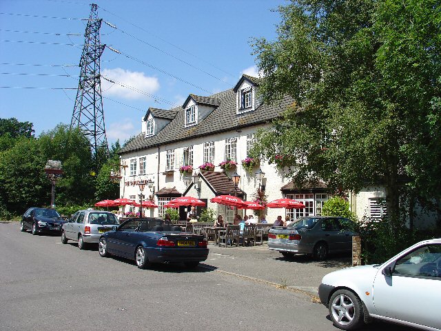
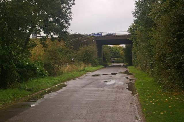
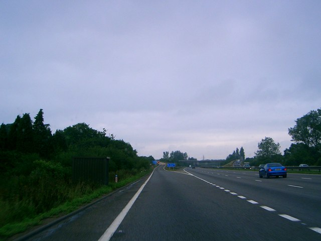
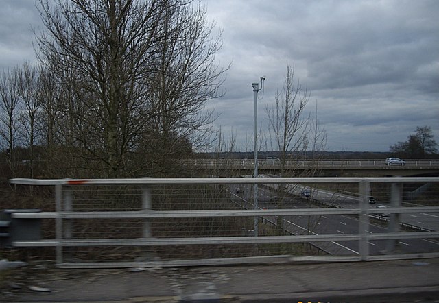
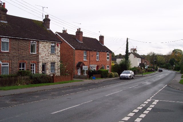
Bridges Wood Images

Images are sourced within 2km of 51.158218/-0.13166995 or Grid Reference TQ3041. Thanks to Geograph Open Source API. All images are credited.

St Bartholomew Church, Burstow, Surrey A delightful half timbered 11th century Church of England church in this tranquil village (other than all of Gatwick airports air traffic that thunders a few hundred metres overhead!). Restored 184-95.
More info at <span class="nowrap"><a title="http://www.achurchnearyou.com/page.php?V=565&P=207" rel="nofollow ugc noopener" href="http://www.achurchnearyou.com/page.php?V=565&P=207">Link</a><img style="margin-left:2px;" alt="External link" title="External link - shift click to open in new window" src="https://s1.geograph.org.uk/img/external.png" width="10" height="10"/></span>
St Bartholomew Church, Burstow, Surrey
A delightful half timbered 11th century Church of England church in this tranquil village (other than all of Gatwick airports air traffic that thunders a few hundred metres overhead!). Restored 184-95. More info at LinkExternal link
M23 Junction 9 - Gatwick Airport Spur Road, West Sussex Viewed from a bridleway bridge just to the south, looking N.
M23 Junction 9 - Gatwick Airport Spur Road, West Sussex
Viewed from a bridleway bridge just to the south, looking N.
The Shipley Bridge Pub, Shipley Bridge, Surrey A country pub with a large pub garden. View taken from E looking W. Popular on this Friday lunchtime.
The Shipley Bridge Pub, Shipley Bridge, Surrey
A country pub with a large pub garden. View taken from E looking W. Popular on this Friday lunchtime.
Road Junction of B2037 with minor road to Burstow. Newhouse Farm in the Background A junction with a busy road. Most of this square is farmland, with the B road cutting across from E-W. Newhouse Farm dominates the view in the distance. View taken from Burstow road, looking SSE.
Road Junction of B2037 with minor road to Burstow. Newhouse Farm in the Background
A junction with a busy road. Most of this square is farmland, with the B road cutting across from E-W. Newhouse Farm dominates the view in the distance. View taken from Burstow road, looking SSE.
Motorway Bridge of B2037 over M23, Shipley Bridge, Surrey View taken from Bridleway bridge to the N, looking S. The Shipley Bridge Pub is very close to this bridge.
Motorway Bridge of B2037 over M23, Shipley Bridge, Surrey
View taken from Bridleway bridge to the N, looking S. The Shipley Bridge Pub is very close to this bridge.
Telephone Mast near M23 Junction 9, Near Burstow, Surrey. This is situated in a field just N of a bridleway leading to Burstow. View taken looking N from the bridleway.
Telephone Mast near M23 Junction 9, Near Burstow, Surrey.
This is situated in a field just N of a bridleway leading to Burstow. View taken looking N from the bridleway.
The John Flamsteed Hall, Burstow Church, Burstow, Surrey Just over the road from the church. A plaque over the door states that the building was erected in 1859.
The John Flamsteed Hall, Burstow Church, Burstow, Surrey
Just over the road from the church. A plaque over the door states that the building was erected in 1859.
'Bridge Cottage' Smallfield...looking East  from Redehall Road Located on East side of Redehall Road between its junctions with New Road and Plough Road.
'Bridge Cottage' Smallfield...looking East from Redehall Road
Located on East side of Redehall Road between its junctions with New Road and Plough Road.
Smallfield Evangelical Church looking East from Redehall Road Postcode RH6 9RT. Located on East side of Redehall Road between its junctions with New Road and Plough Road.
Smallfield Evangelical Church looking East from Redehall Road
Postcode RH6 9RT. Located on East side of Redehall Road between its junctions with New Road and Plough Road.
Burstow Primary School, Wheelers Lane, Smallfield, RH6 9PT Looking North from Wheelers Lane entrance near junction with Redehall Road.
Burstow Primary School, Wheelers Lane, Smallfield, RH6 9PT
Looking North from Wheelers Lane entrance near junction with Redehall Road.
Pond in Weatherhill at least the map shows a pond between Hathersham Lane (in the background) and the M23 Motorway. Taken from the bridge in Weatherhill Road
Pond in Weatherhill
at least the map shows a pond between Hathersham Lane (in the background) and the M23 Motorway. Taken from the bridge in Weatherhill Road
Thunderfield Castle Medieval moat works heavily remodelled in Victorian times. See <span class="nowrap"><a title="http://www.castleuk.net/castle_lists_south/187/thunderfieldcastle.htm" rel="nofollow ugc noopener" href="http://www.castleuk.net/castle_lists_south/187/thunderfieldcastle.htm">Link</a><img style="margin-left:2px;" alt="External link" title="External link - shift click to open in new window" src="https://s1.geograph.org.uk/img/external.png" width="10" height="10"/></span>
Thunderfield Castle
Medieval moat works heavily remodelled in Victorian times. See LinkExternal link
Redehall Preparatory School in Redehall Road, Smallfield. Occupying the buildings of the former village school - <span class="nowrap"><a title="http://www.redehall.surrey.sch.uk/" rel="nofollow ugc noopener" href="http://www.redehall.surrey.sch.uk/">Link</a><img style="margin-left:2px;" alt="External link" title="External link - shift click to open in new window" src="https://s1.geograph.org.uk/img/external.png" width="10" height="10"/></span>
Redehall Preparatory School
in Redehall Road, Smallfield. Occupying the buildings of the former village school - LinkExternal link
Boundary meeting point The far side of this balancing pond, at the foot of the M23 Gatwick Spur (the crash barriers of which can be seen across the middle of the photo), is the meeting point of Tandridge District and Reigate and Banstead District (both in Surrey) and West Sussex.  The motorway is in West Sussex, most of the foreground is in Reigate and Banstead and a thin sliver of land at the base of the embankment, running from the left hand side of the photo to a point in the centre, is in Tandridge.  Older maps show the Surrey/West Sussex border running south from this point, which subsequently got shifted to the main M23.  But the district boundaries appear to have remained unchanged, which would seem to explain the thin triangle of Tandridge shown on the map.  Viewed on a very gloomy Sunday morning.
Boundary meeting point
The far side of this balancing pond, at the foot of the M23 Gatwick Spur (the crash barriers of which can be seen across the middle of the photo), is the meeting point of Tandridge District and Reigate and Banstead District (both in Surrey) and West Sussex. The motorway is in West Sussex, most of the foreground is in Reigate and Banstead and a thin sliver of land at the base of the embankment, running from the left hand side of the photo to a point in the centre, is in Tandridge. Older maps show the Surrey/West Sussex border running south from this point, which subsequently got shifted to the main M23. But the district boundaries appear to have remained unchanged, which would seem to explain the thin triangle of Tandridge shown on the map. Viewed on a very gloomy Sunday morning.
Footpath junction Ahead is to Peeks Brook Lane, behind is to Gatwick Airport, to the left is to Horley.
Footpath junction
Ahead is to Peeks Brook Lane, behind is to Gatwick Airport, to the left is to Horley.
Peeks Brook Lane Running under the M23 Gatwick Spur.
Peeks Brook Lane
Running under the M23 Gatwick Spur.
Joining the M23 Gatwick spur road from the Northbound M23 Front seat passenger's view
Joining the M23 Gatwick spur road from the Northbound M23
Front seat passenger's view
Access to Gatwick Airport from M23 Junction 9.
Access to Gatwick Airport from M23
Junction 9.
Show me another place!

Bridges Wood is located at Grid Ref: TQ3041 (Lat: 51.158218, Lng: -0.13166995)

Administrative County: Surrey

District: Tandridge

Police Authority: Surrey

What 3 Words

///habit.shadow.ready. Near Copthorne, West Sussex

Nearby Locations

Fernhill Bridges Wood

Related Wikis

Fernhill, West Sussex

Fernhill is a hamlet close to Gatwick Airport in West Sussex, England. Its fields and farmhouses formerly straddled the county boundary between Surrey...

Ariana Afghan Airlines Flight 701

Ariana Afghan Airlines Flight 701 was the flight involved in a fatal air accident on 5 January 1969, when a Boeing 727 with 62 people on board crashed...

Burstow

Burstow is a village and civil parish in the Tandridge district of Surrey, England. Its largest settlement is Smallfield. Smallfield is 2.5 miles (4.0...

Gatwick Airport railway station

Gatwick Airport railway station is on the Brighton Main Line in West Sussex, England. It serves Gatwick Airport, 26 miles 47 chains (42.8 km) down the...

Gatwick Airport Up sidings

Gatwick Airport Up sidings are located near London Gatwick Airport, Crawley, England, situated on the Brighton Main Line south of Gatwick Airport station...

Copthorne, West Sussex

Copthorne is a village in the Mid Sussex district of West Sussex, England. It lies close to Gatwick Airport, 25.5 miles (41 km) south of London, 21.5 miles...

Oakwood School, Horley

Oakwood School is a community secondary school located in Horley, Surrey, England. It is co-educational and caters for students in the 11–16 age range...

Horley railway station

Horley railway station serves the town of Horley in Surrey, England. It is on the Brighton Main Line, 25 miles 60 chains (41.4 km) down the line from London...

Nearby Amenities

Located within 500m of 51.158218,-0.13166995
Motorway Junction
Gatwick
Ref: 9
Lat/Long: 51.1594391/-0.1357566
Power: tower
Lat/Long: 51.1589208/-0.1328017
Power: tower
Lat/Long: 51.161931/-0.131807
Power: tower
Lat/Long: 51.1565965/-0.1335493
Barrier: stile
Lat/Long: 51.1578625/-0.1335554
Barrier: stile
Lat/Long: 51.1598662/-0.1260458
Barrier: stile
Lat/Long: 51.1597269/-0.1260487
Peeks Rough Farm
Landuse: farmyard
Note Retag: CS #48756035
Lat/Long: 51.1609861/-0.1367994
Barrier: stile
Lat/Long: 51.1611899/-0.1326504
Give Way
Direction: forward
Lat/Long: 51.1594146/-0.1358792
Traffic Signals
Traffic Signals: signal
Traffic Signals Direction: forward
Lat/Long: 51.1592408/-0.1337016
Motorway Junction
Gatwick
Ref: 9
Lat/Long: 51.1548154/-0.1359303
Give Way
Direction: forward
Lat/Long: 51.1587105/-0.1358052
Barrier: kissing_gate
Lat/Long: 51.1575149/-0.1248484
Barrier: stile
Lat/Long: 51.1556106/-0.1296876
Camera Mount: pole
Camera Type: panning
Man Made: surveillance
Operator: National Highways
Operator Wikidata: Q5760006
Surveillance: outdoor
Surveillance Type: camera
Surveillance Zone: traffic
Lat/Long: 51.1582946/-0.1343177
Traffic Sign: variable_message
Variable Message Model: AMI
Lat/Long: 51.1583219/-0.1339884
Traffic Sign: variable_message
Variable Message Model: AMI
Lat/Long: 51.1583867/-0.134148
Phone
Emergency: phone
Operator: National Highways
Operator Wikidata: Q5760006
Lat/Long: 51.1581739/-0.1346657
Camera Mount: pole
Camera Type: panning
Man Made: surveillance
Operator: National Highways
Operator Wikidata: Q5760006
Surveillance: outdoor
Surveillance Type: camera
Surveillance Zone: traffic
Lat/Long: 51.1589464/-0.1349305
Phone
Emergency: phone
Operator: National Highways
Operator Wikidata: Q5760006
Lat/Long: 51.1580061/-0.1352678
Camera Mount: pole
Camera Type: panning
Man Made: surveillance
Operator: National Highways
Operator Wikidata: Q5760006
Surveillance: outdoor
Surveillance Type: camera
Surveillance Zone: traffic
Lat/Long: 51.1581209/-0.1352658
Camera Mount: pole
Camera Type: panning
Man Made: surveillance
Operator: National Highways
Operator Wikidata: Q5760006
Surveillance: outdoor
Surveillance Type: camera
Surveillance Zone: traffic
Lat/Long: 51.1567213/-0.1356742
Camera Mount: pole
Camera Type: panning
Man Made: surveillance
Operator: National Highways
Operator Wikidata: Q5760006
Surveillance: outdoor
Surveillance Type: camera
Surveillance Zone: traffic
Lat/Long: 51.156373/-0.1357627
Man Made: gantry
Traffic Sign: variable_message
Variable Message Model: MS4
Lat/Long: 51.156299/-0.1357453
Camera Mount: pole
Camera Type: panning
Man Made: surveillance
Operator: National Highways
Operator Wikidata: Q5760006
Surveillance: outdoor
Surveillance Type: camera
Surveillance Zone: traffic
Lat/Long: 51.1597783/-0.1381753
Camera Mount: pole
Camera Type: panning
Man Made: surveillance
Operator: National Highways
Operator Wikidata: Q5760006
Surveillance: outdoor
Surveillance Type: camera
Surveillance Zone: traffic
Lat/Long: 51.1594095/-0.1375192
Camera Mount: pole
Camera Type: panning
Man Made: surveillance
Operator: National Highways
Operator Wikidata: Q5760006
Surveillance: outdoor
Surveillance Type: camera
Surveillance Zone: traffic
Lat/Long: 51.1593291/-0.1362515
Camera Mount: pole
Camera Type: panning
Man Made: surveillance
Operator: National Highways
Operator Wikidata: Q5760006
Surveillance: outdoor
Surveillance Type: camera
Surveillance Zone: traffic
Lat/Long: 51.1593476/-0.1337232
Camera Mount: pole
Camera Type: panning
Man Made: surveillance
Operator: National Highways
Operator Wikidata: Q5760006
Surveillance: outdoor
Surveillance Type: camera
Surveillance Zone: traffic
Lat/Long: 51.1604053/-0.133566
Man Made: gantry
Traffic Sign: variable_message
Variable Message Model: MS4
Lat/Long: 51.1605861/-0.133464
Camera Mount: pole
Camera Type: panning
Man Made: surveillance
Operator: National Highways
Operator Wikidata: Q5760006
Surveillance: outdoor
Surveillance Type: camera
Surveillance Zone: traffic
Lat/Long: 51.1618258/-0.1333165
Camera Mount: pole
Camera Type: panning
Man Made: surveillance
Operator: National Highways
Operator Wikidata: Q5760006
Surveillance: outdoor
Surveillance Type: camera
Surveillance Zone: traffic
Traffic Sign: variable_message
Variable Message Model: MS4
Lat/Long: 51.160883/-0.1338503
Traffic Sign: variable_message
Variable Message Model: AMI
Lat/Long: 51.159703/-0.1352665
Traffic Sign: variable_message
Variable Message Model: AMI
Lat/Long: 51.1596248/-0.1350734
Rottms Distance: 1 mile
Traffic Sign: variable_message
Variable Message Model: ROTTMS
Lat/Long: 51.1576288/-0.1347126
Rottms Distance: 1 mile
Traffic Sign: variable_message
Variable Message Model: ROTTMS
Lat/Long: 51.1603372/-0.13438
Rottms Distance: 1 mile
Traffic Sign: variable_message
Variable Message Model: ROTTMS
Lat/Long: 51.16028/-0.1342352
Rottms Distance: 1 mile
Traffic Sign: variable_message
Variable Message Model: ROTTMS
Lat/Long: 51.1594389/-0.1341011
Traffic Signals
Traffic Signals: signal
Traffic Signals Direction: forward
Lat/Long: 51.1592643/-0.1335705
The data included in this document is from www.openstreetmap.org. The data is made available under ODbL.

Have you been to Bridges Wood?

Leave your review of Bridges Wood below (or comments, questions and feedback).