Black Bushes
Wood, Forest in Essex
England
Black Bushes

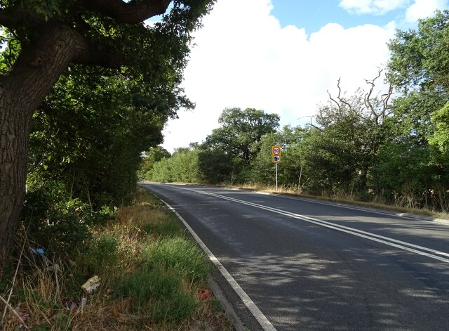
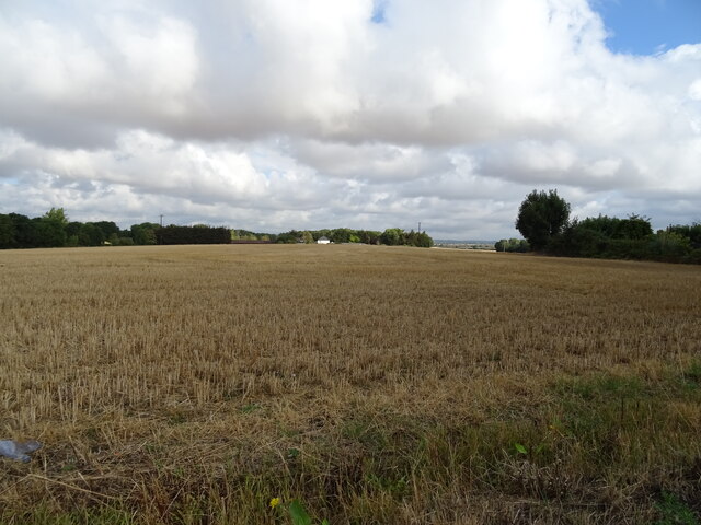
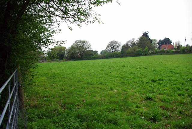
Black Bushes is a small woodland area located in the county of Essex, England. Situated near the town of Epping, it covers an approximate area of 30 acres and is part of the larger Epping Forest.
This picturesque forest is characterized by its dense canopy of trees, predominantly composed of oak and beech. The woodland floor is covered in a rich carpet of ferns, moss, and wildflowers, creating a stunning display of colors and textures throughout the seasons.
Black Bushes is a popular destination for nature enthusiasts and outdoor enthusiasts alike. It offers a range of activities, including walking, hiking, and birdwatching. The forest is home to a variety of bird species, such as woodpeckers, nightingales, and tawny owls, making it a haven for birdwatchers.
The woodland also provides habitat for a diverse range of wildlife. Visitors may encounter squirrels, foxes, badgers, and deer roaming freely in their natural environment. The tranquil atmosphere and abundance of wildlife make Black Bushes an ideal spot for nature lovers seeking a peaceful escape from the hustle and bustle of urban life.
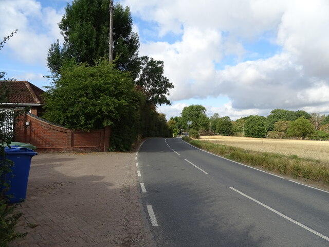
Black Bushes is easily accessible, with well-maintained footpaths and trails for visitors to explore. It offers a serene and peaceful setting for those looking to reconnect with nature and enjoy the beauty of the Essex countryside. Whether it's a leisurely stroll through the woods or a more adventurous hike, Black Bushes promises a memorable outdoor experience for all who visit.
If you have any feedback on the listing, please let us know in the comments section below.
Black Bushes Images
Images are sourced within 2km of 51.526473/0.38896183 or Grid Reference TQ6583. Thanks to Geograph Open Source API. All images are credited.


Black Bushes is located at Grid Ref: TQ6583 (Lat: 51.526473, Lng: 0.38896183)
Unitary Authority: Thurrock
Police Authority: Essex
What 3 Words
///toned.shuts.shack. Near Horndon on the Hill, Essex
Nearby Locations
Related Wikis

Horndon-on-the-Hill
Horndon on the Hill is a village, former civil parish and Church of England parish in the unitary authority of Thurrock, in the county of Essex, England...

Basildon (UK Parliament constituency)
Basildon was a parliamentary constituency represented in the House of Commons of the Parliament of the United Kingdom. It elected one Member of Parliament...
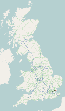
A13 road (England)
The A13 is a major road in England linking Central London with east London and south Essex. Its route is similar to that of the London, Tilbury and Southend...

St Giles & All Saints Church, Orsett
St Giles & All Saints Church, known locally as Orsett Church, is a Church of England parish church in Orsett, Essex, England. It is of medieval origin...
Horndon Meadow
Horndon Meadow is a 0.8-hectare (2.0-acre) nature reserve north of Stanford-le-Hope in Essex. It is managed by the Essex Wildlife Trust.This site is an...

Orsett
Orsett is a village, former civil parish and ecclesiastical parish located within Thurrock unitary district in Essex, England, it is north-east of Grays...
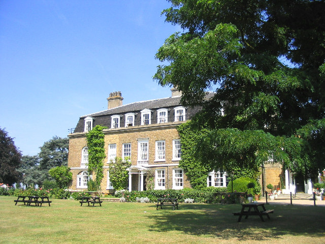
Orsett Hall
Orsett Hall was a 17th-century Grade II listed building in Orsett, Essex (de-listed on 10 March 2008). It was set in 12 acres (4.9 ha) of parkland and...
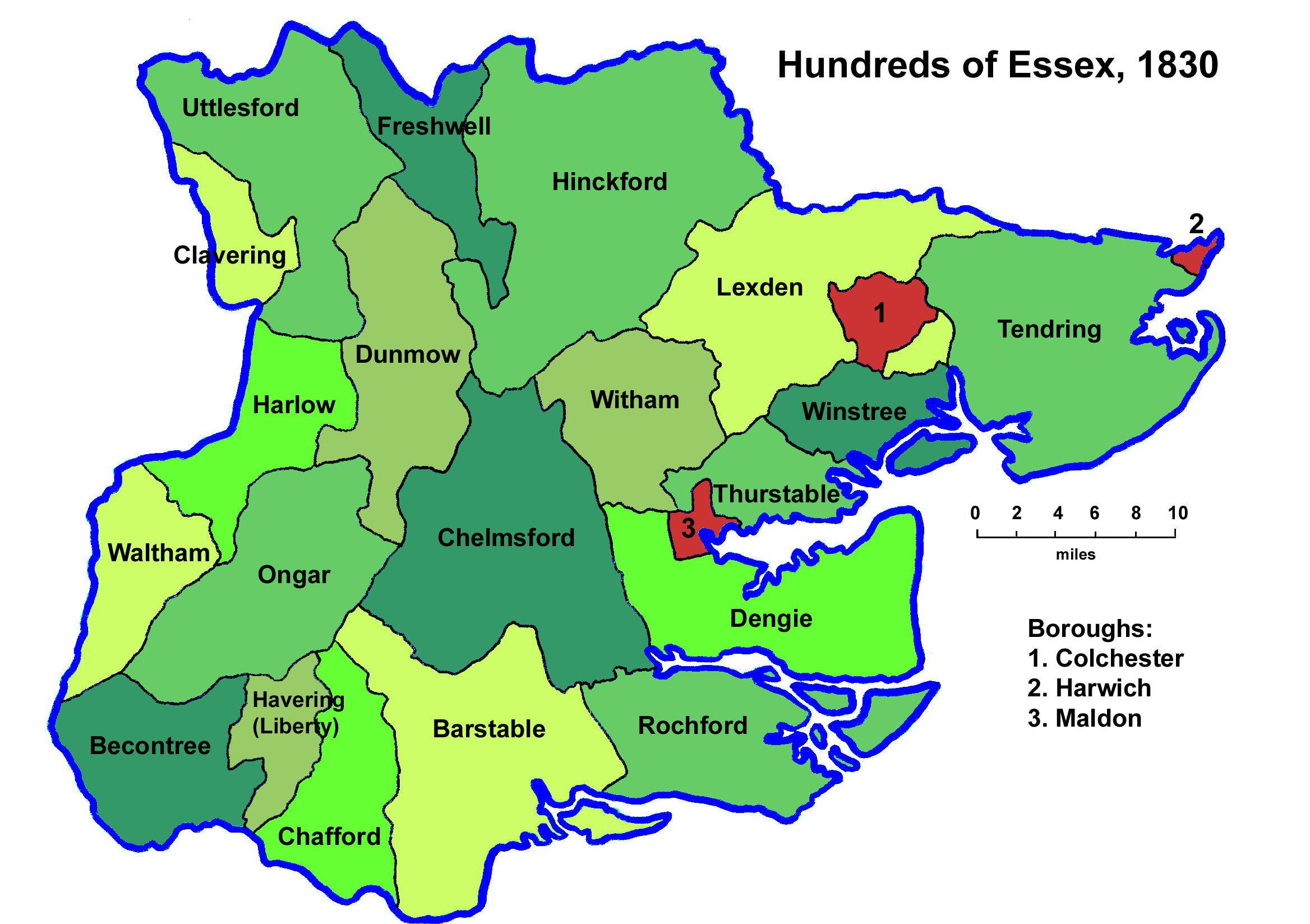
Barstable Hundred
Barstable was a Hundred in the English County of Essex. Both the hundred and the manor with the same name are mentioned in the Domesday Book of 1086. A...
Nearby Amenities
Located within 500m of 51.526473,0.38896183Have you been to Black Bushes?
Leave your review of Black Bushes below (or comments, questions and feedback).