Claypit Plantation

Wood, Forest in Cambridgeshire East Cambridgeshire

England

Claypit Plantation

High Street Newmarket
High Street Newmarket Credit: David Howard

Claypit Plantation is a picturesque woodland located in Cambridgeshire, England. Covering an area of approximately 50 acres, this enchanting forest is known for its diverse range of plant and animal species, making it a haven for nature enthusiasts and wildlife photographers.

The plantation is predominantly made up of dense deciduous trees, including oak, ash, and beech, which create a vibrant canopy that changes with the seasons. During spring, the woodland bursts into life with a stunning display of wildflowers, including bluebells and primroses, creating a carpet of color underneath the towering trees.

The woodland is intersected by a network of well-maintained footpaths, allowing visitors to explore its beauty while taking in the fresh air and tranquil surroundings. These paths lead to hidden clearings and secluded ponds, providing opportunities for peaceful reflection or spotting the diverse wildlife that calls the plantation home.

Birdwatchers will be delighted by the presence of numerous avian species, including woodpeckers, owls, and warblers. The plantation is also inhabited by small mammals, such as foxes, badgers, and squirrels, adding to the charm and natural diversity of the area.

Claypit Plantation is a popular destination for families, walkers, and nature lovers alike. With its well-preserved woodland, stunning flora and fauna, and serene atmosphere, it offers a perfect escape from the hustle and bustle of everyday life. Whether one seeks a peaceful stroll, a wildlife adventure, or simply a chance to immerse oneself in nature's beauty, Claypit Plantation is a place that promises to leave a lasting impression.

If you have any feedback on the listing, please let us know in the comments section below.

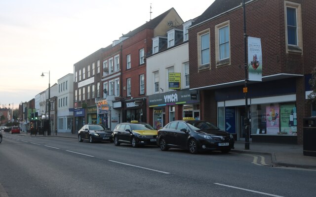
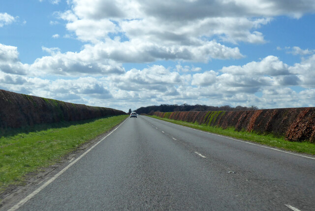
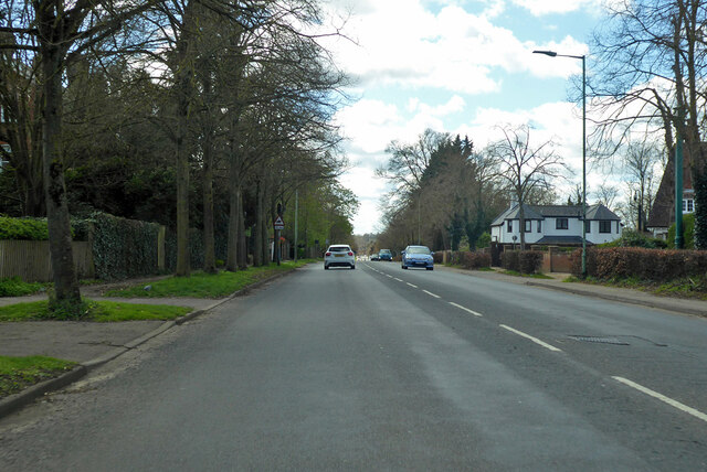
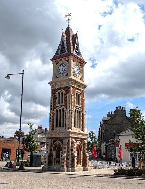
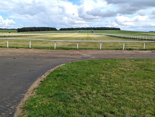
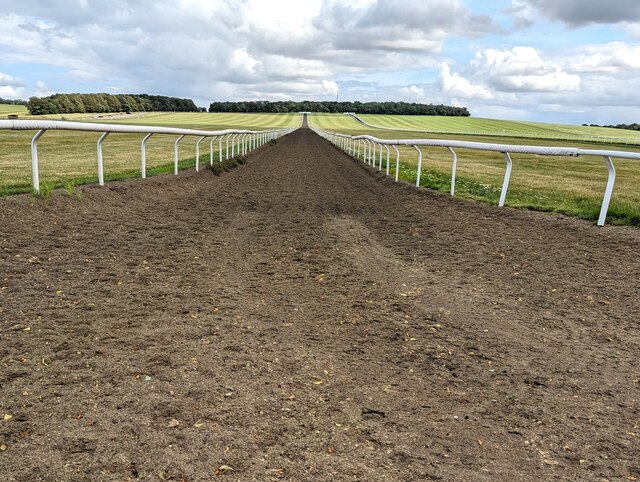
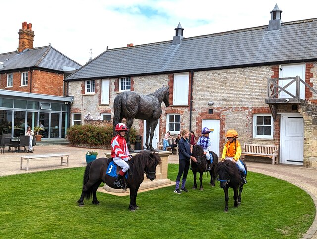
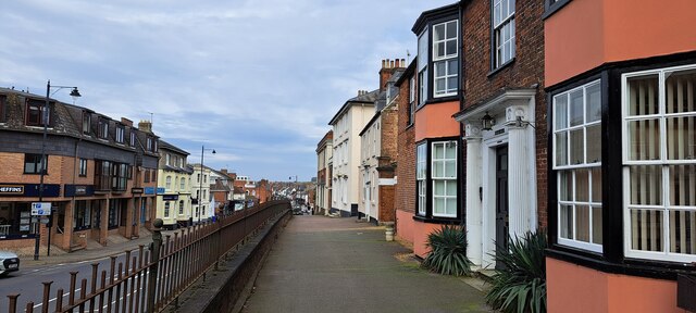
Claypit Plantation Images

Images are sourced within 2km of 52.247497/0.42749941 or Grid Reference TL6563. Thanks to Geograph Open Source API. All images are credited.

High Street Newmarket
A1304 towards Newmarket The former A11, which passed through the town centre.
A1304 towards Newmarket
The former A11, which passed through the town centre.
A1304 Bury Road, Newmarket The former A11, which passed through the town centre.
A1304 Bury Road, Newmarket
The former A11, which passed through the town centre.
A1304 High Street, Newmarket The former A11.
A1304 High Street, Newmarket
The former A11.
Clock tower in Newmarket at 1.25
HYPERION 1930 - 1960 <span class="nowrap"><a title="https://en.wikipedia.org/wiki/Hyperion_(horse)" rel="nofollow ugc noopener" href="https://en.wikipedia.org/wiki/Hyperion_(horse)">Link</a><img style="margin-left:2px;" alt="External link" title="External link - shift click to open in new window" src="https://s1.geograph.org.uk/img/external.png" width="10" height="10"/></span>
HYPERION 1930 - 1960
A view down Newmarket High Street
Warren Hill racehorse training gallops in Newmarket
Polytrack racehorse training gallop up Warren Hill, Newmarket
In the courtyard of the National Horse Racing Museum, Newmarket
Newmarket: High Street dropping into the town from the west
Newmarket: High Street dropping into the town from the west A raised pavement here gives access to a run of nineteenth century buildings above the level of the current road.
Newmarket: High Street dropping into the town from the west
A raised pavement here gives access to a run of nineteenth century buildings above the level of the current road.
Bury Road, Newmarket Ahead, a sign warns of horses crossing: a common occurrence in this town dominated by the racing industry.
Bury Road, Newmarket
Ahead, a sign warns of horses crossing: a common occurrence in this town dominated by the racing industry.
Bury Road, Newmarket: gate up onto the gallops
B1506, Well Bottom, heading out of Newmarket
B1103 The B1103 runs 4.4 miles from Burwell to Newmarket on the Cambridgeshire - Suffolk border. 
<span class="nowrap"><a title="https://www.sabre-roads.org.uk/wiki/index.php?title=B1103" rel="nofollow ugc noopener" href="https://www.sabre-roads.org.uk/wiki/index.php?title=B1103">Link</a><img style="margin-left:2px;" alt="External link" title="External link - shift click to open in new window" src="https://s1.geograph.org.uk/img/external.png" width="10" height="10"/></span>
B1103
The B1103 runs 4.4 miles from Burwell to Newmarket on the Cambridgeshire - Suffolk border. LinkExternal link
Trackside woodland
Trackside woodland
Show me another place!

Claypit Plantation is located at Grid Ref: TL6563 (Lat: 52.247497, Lng: 0.42749941)

Administrative County: Cambridgeshire

District: East Cambridgeshire

Police Authority: Cambridgeshire

What 3 Words

///noises.obstinate.elevates. Near Newmarket, Suffolk

Related Wikis

Bedford House Stables

Bedford House Stables was the main training yard of Luca Cumani. After Cumani's retirement at the end of the 2018 flat racing season, the yard was purchased...

Freemason Lodge Stables

Freemason Lodge Stables is the training yard of Sir Michael Stoute, ten-time British flat racing Champion Trainer. It is located next to the prestigious...

Clarehaven Stables

Clarehaven Stables is a thoroughbred horse racing stable built next to the Bury Road in the horse racing town of Newmarket. It was built early in the 20th...

Newmarket, Suffolk

Newmarket is a market town and civil parish in the West Suffolk district of Suffolk, England, located 14 miles west of Bury St Edmunds and 14 miles northeast...

Nearby Amenities

Located within 500m of 52.247497,0.42749941
Man Made: mast
Lat/Long: 52.2451892/0.4323446
TP6754 - Warren Hill
Man Made: survey_point
Ref: S7529
Triangulation Point: yes
Website: https://trigpointing.uk/trig/6754
Lat/Long: 52.2436822/0.4286405
The data included in this document is from www.openstreetmap.org. The data is made available under ODbL.

Have you been to Claypit Plantation?

Leave your review of Claypit Plantation below (or comments, questions and feedback).