Fenton
Settlement in Huntingdonshire Huntingdonshire
England
Fenton
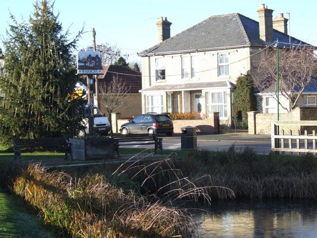
Fenton is a small village located in the district of Huntingdonshire in Cambridgeshire, England. Situated approximately 5 miles south of the market town of Huntingdon, Fenton is a peaceful and picturesque village surrounded by beautiful countryside.
The village is home to a close-knit community and has a population of around 200 residents. Fenton has a rich history, with mentions dating back to the Domesday Book in 1086. Throughout the centuries, the village has retained its rural charm and character.
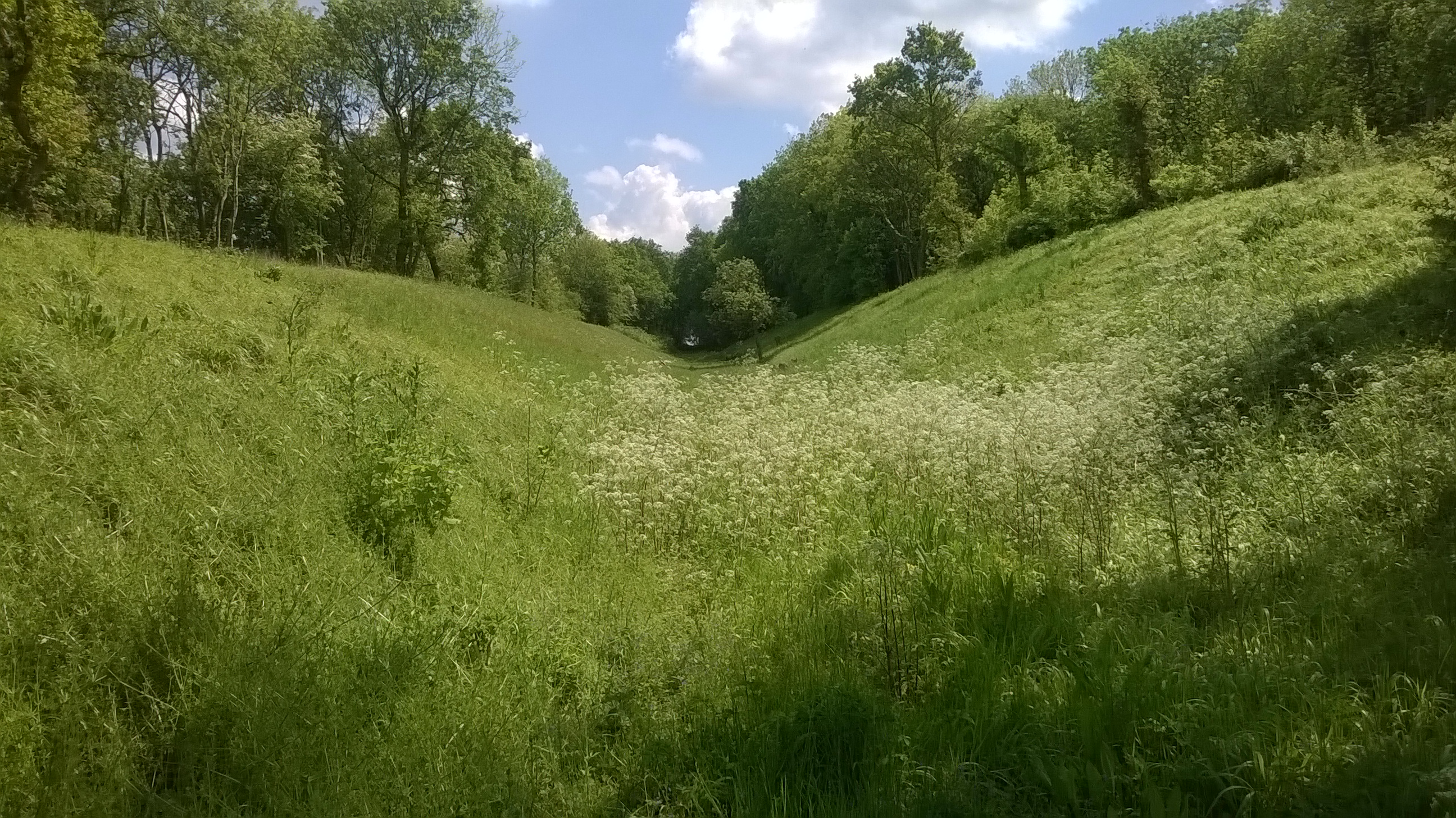
The landscape around Fenton is predominantly agricultural, with vast fields and meadows. The River Great Ouse, one of England's longest rivers, flows nearby, providing a scenic setting for leisurely walks and wildlife spotting. The village is also located close to several nature reserves, offering opportunities for birdwatching and exploring diverse ecosystems.
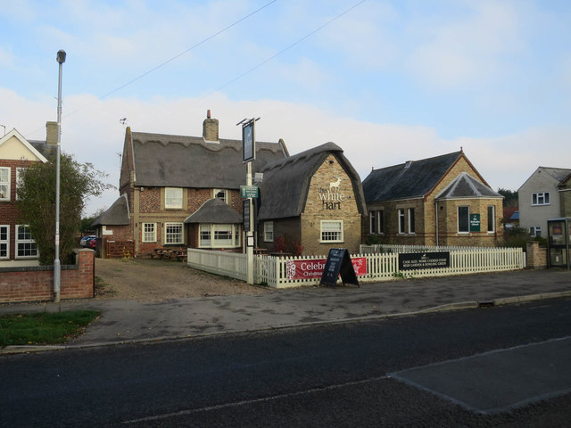
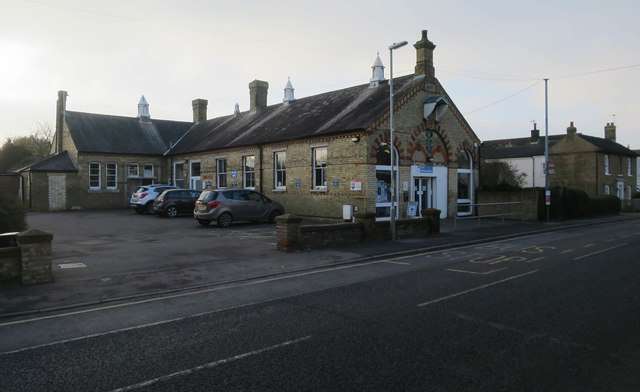
Fenton boasts a few amenities to cater to its residents' needs. These include a local pub, which serves as a hub for social gatherings, and a village hall that hosts various community events. For education, children in Fenton attend schools in nearby towns and villages.
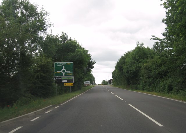
The village has good transport links, with easy access to major roads such as the A1 and A14. This allows for convenient travel to nearby cities and towns, including Cambridge and Peterborough. Additionally, the village is served by a bus service, ensuring connectivity to the surrounding areas.
Overall, Fenton is a tranquil village that offers a picturesque setting, a strong sense of community, and easy access to nearby amenities and natural attractions.
If you have any feedback on the listing, please let us know in the comments section below.
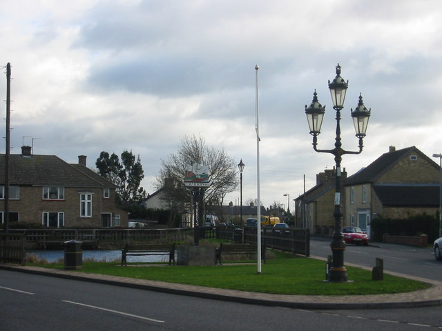
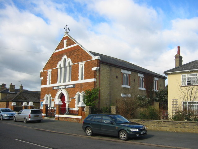
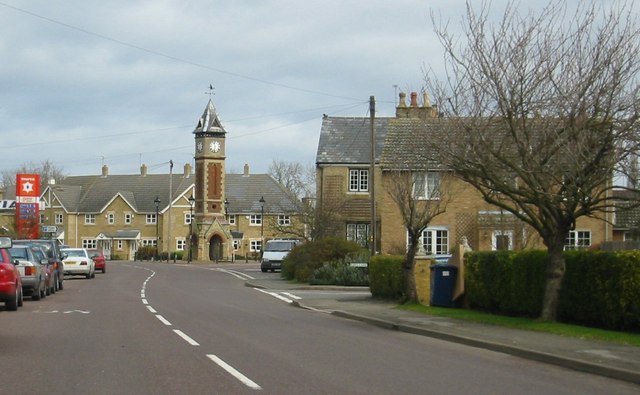
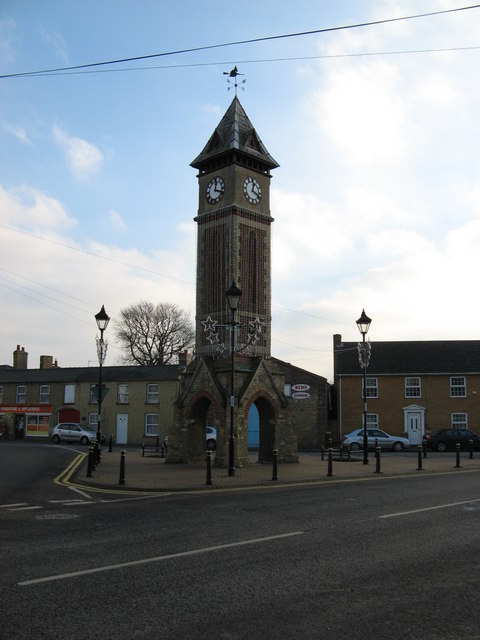
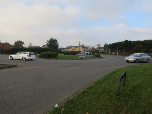
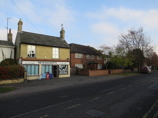
Fenton Images
Images are sourced within 2km of 52.396857/-0.061684394 or Grid Reference TL3179. Thanks to Geograph Open Source API. All images are credited.


Fenton is located at Grid Ref: TL3179 (Lat: 52.396857, Lng: -0.061684394)
Administrative County: Cambridgeshire
District: Huntingdonshire
Police Authority: Cambridgeshire
What 3 Words
///emotional.interview.vouch. Near Warboys, Cambridgeshire
Nearby Locations
Related Wikis

Warboys
Warboys is a large village and civil parish in the Huntingdonshire district of Cambridgeshire, England, 7 miles (11 km) north-east of Huntingdon. ��2...

Warboys Town F.C.
Warboys Town Football Club is a football club based in Warboys, near Ramsey in Cambridgeshire, England. The club are currently members of the Peterborough...

Pidley
Pidley is a small village in Cambridgeshire, England. Pidley lies approximately 7 miles (11 km) north-east of Huntingdon. Together with the neighbouring...
Pingle Cutting
Pingle Cutting is a 1.0-hectare (2.5-acre) nature reserve north of Warboys in Cambridgeshire. It is managed by the Wildlife Trust for Bedfordshire, Cambridgeshire...
Nearby Amenities
Located within 500m of 52.396857,-0.061684394Have you been to Fenton?
Leave your review of Fenton below (or comments, questions and feedback).