Havering's Grove
Wood, Forest in Essex Brentwood
England
Havering's Grove
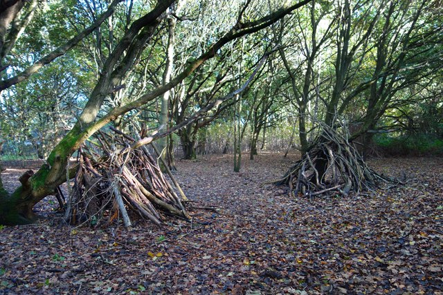
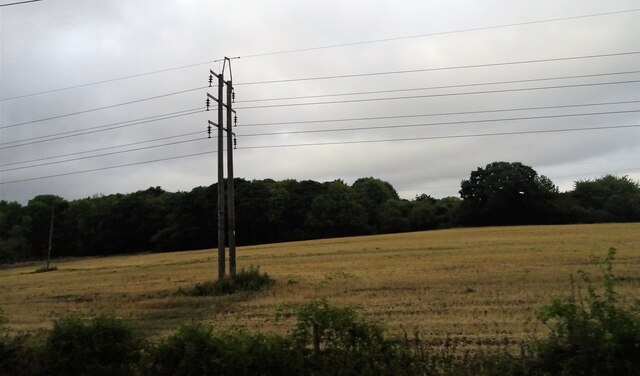
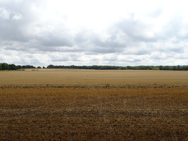
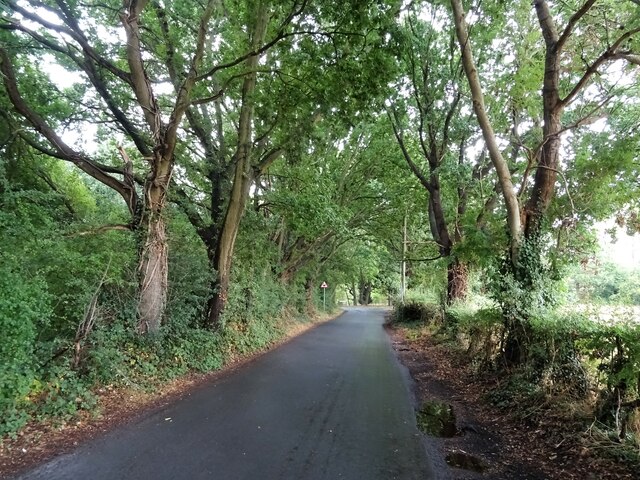
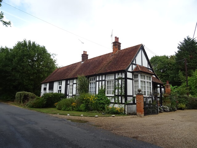
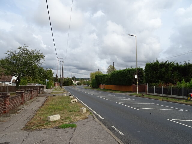
Havering's Grove is a picturesque woodland located in the county of Essex, England. With its dense canopy of trees and tranquil atmosphere, it is a popular destination for nature enthusiasts and those seeking respite from the hustle and bustle of city life.
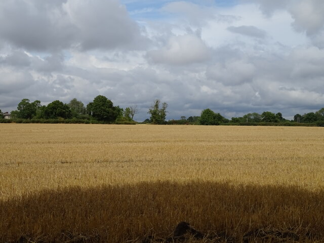
Covering an area of approximately 100 hectares, Havering's Grove is a haven for diverse flora and fauna. The woodland is predominantly made up of oak and beech trees, which provide a rich habitat for various bird species, small mammals, and insects. It is not uncommon to catch sight of deer roaming freely through the grove, adding to its natural charm.
The woodland is crisscrossed by a network of well-maintained footpaths, inviting visitors to explore its hidden corners and discover the beauty of the surroundings. One of the highlights of Havering's Grove is the presence of a small stream that meanders through the woodland, creating a soothing soundscape and adding to the serenity of the environment.
The grove is managed by the local authorities who ensure the preservation of its natural beauty. Visitors are encouraged to respect the flora and fauna, sticking to designated paths and refraining from littering. There are also information boards scattered throughout the grove, providing interesting facts about the various tree species and wildlife that can be found in the area.
Havering's Grove offers a peaceful retreat for nature lovers and serves as a reminder of the importance of preserving and appreciating the natural wonders that Essex has to offer.
If you have any feedback on the listing, please let us know in the comments section below.
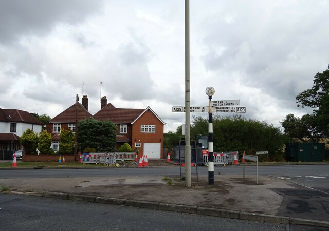
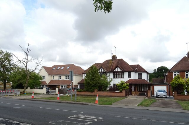
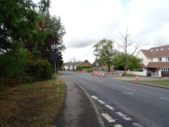
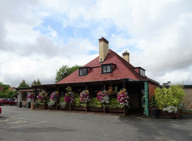
Havering's Grove Images
Images are sourced within 2km of 51.626921/0.38391944 or Grid Reference TQ6594. Thanks to Geograph Open Source API. All images are credited.


Havering's Grove is located at Grid Ref: TQ6594 (Lat: 51.626921, Lng: 0.38391944)
Administrative County: Essex
District: Brentwood
Police Authority: Essex
What 3 Words
///august.topped.occurs. Near Billericay, Essex
Nearby Locations
Related Wikis

Havering's Grove
51.6269°N 0.3890°E / 51.6269; 0.3890 Havering’s Grove is a village in Essex, most of which lies in the Borough of Brentwood, with part in the Borough...
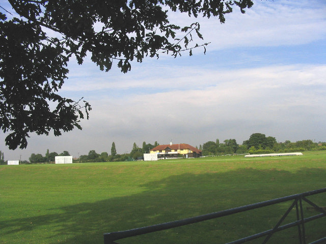
Toby Howe Cricket Ground
Toby Howe Cricket Ground is a cricket ground in Billericay, Essex. The first recorded match on the ground was in 1999, when Billericay Cricket Club played...

Hutton F.C.
Hutton Football Club is a football club based in Hutton, England. They are currently members of the Eastern Counties League Division One South and play...
Billericay Town F.C.
Billericay Town Football Club is a football club based in Billericay, Essex, England. The club are currently members of the Isthmian League Premier Division...

Hutton, Essex
Hutton is an area of Brentwood, Essex, England. It has good links to Central London (around 20 miles (32 km) to the south west) via Shenfield train station...

Hutton Country Park
Hutton Country Park is a 37.4 hectare Local Nature Reserve in Brentwood in Essex. It is owned and managed by Brentwood Borough Council.The River Wid forms...

Old Town Hall, Billericay
The Old Town Hall is a municipal building in the High Street, Billericay, Essex, England. The structure, which currently operates as a restaurant, was...

Cater Museum
The Cater Museum is a small local museum in Billericay, Essex county, England. The museum was established by Alice May Cater, in honour of her late husband...
Nearby Amenities
Located within 500m of 51.626921,0.38391944Have you been to Havering's Grove?
Leave your review of Havering's Grove below (or comments, questions and feedback).