Blackman's Wood

Wood, Forest in Sussex Wealden

England

Blackman's Wood

Foxhole Barn Oast, Foxhole Lane, Wadhurst, East Sussex Three round kiln oast house.
Foxhole Barn Oast, Foxhole Lane, Wadhurst, East Sussex Credit: Oast House Archive

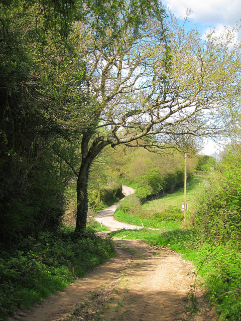
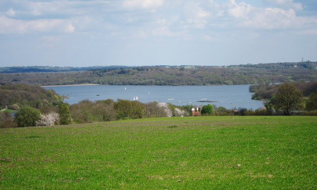
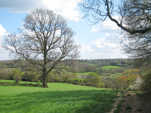
Blackman's Wood is a serene and enchanting woodland located in Sussex, England. Covering an area of approximately 30 acres, this ancient forest is a haven for nature enthusiasts and outdoor adventurers alike. The wood is situated near the village of Henfield, nestled within the South Downs National Park.

As one explores Blackman's Wood, they are greeted by a diverse range of flora and fauna. Towering oak, beech, and ash trees dominate the landscape, creating a lush canopy that filters sunlight and casts a tranquil ambiance. The forest floor is adorned with a rich carpet of bluebells, primroses, and wild garlic during the springtime, painting the woodland with vibrant hues.

The wood is home to a variety of wildlife, including deer, badgers, foxes, and numerous bird species. The peaceful atmosphere of the forest provides a perfect habitat for these creatures, often spotted by lucky visitors who tread quietly along the well-maintained trails.

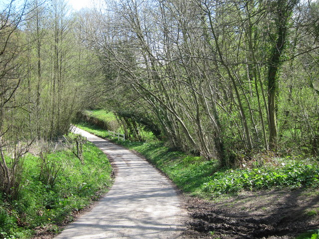
Blackman's Wood offers several walking paths and trails that wind through its enchanting landscape. These trails cater to different levels of difficulty, ensuring that both casual strollers and avid hikers can enjoy the beauty of the wood. Along the way, visitors may stumble upon charming wooden sculptures and hidden clearings, providing delightful surprises throughout their journey.

With its magical ambiance and abundant natural beauty, Blackman's Wood is a true gem in the Sussex countryside. Whether one seeks solace in nature, wishes to explore diverse ecosystems, or simply desires a peaceful retreat, this woodland is a must-visit destination for anyone in search of tranquility and connection with the natural world.

If you have any feedback on the listing, please let us know in the comments section below.

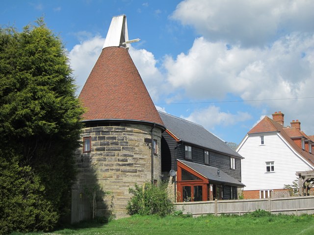
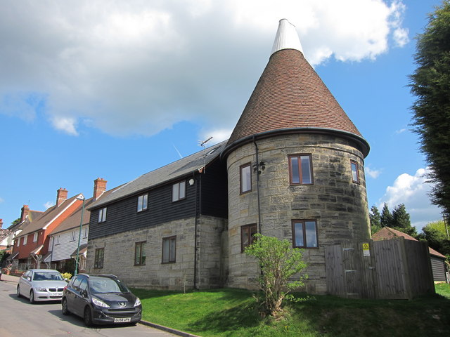
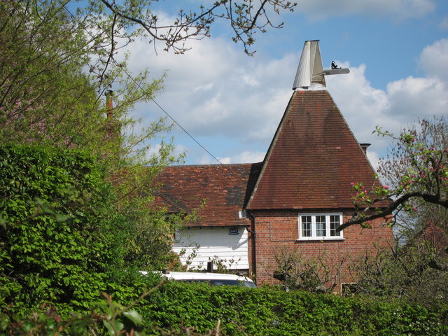
Blackman's Wood Images

Images are sourced within 2km of 51.063058/0.35214717 or Grid Reference TQ6431. Thanks to Geograph Open Source API. All images are credited.

Foxhole Barn Oast, Foxhole Lane, Wadhurst, East Sussex Three round kiln oast house.
Foxhole Barn Oast, Foxhole Lane, Wadhurst, East Sussex
Three round kiln oast house.
Mill Oast, Washwell Lane, Wadhurst, East Sussex Single round kiln oast house, just off the centre of Wadhurst. Possibly not an original oast.
Mill Oast, Washwell Lane, Wadhurst, East Sussex
Single round kiln oast house, just off the centre of Wadhurst. Possibly not an original oast.
Mill Oast, Washwell Lane, Wadhurst, East Sussex Single round kiln oast house, just off the centre of Wadhurst. Possibly not an original oast.
Mill Oast, Washwell Lane, Wadhurst, East Sussex
Single round kiln oast house, just off the centre of Wadhurst. Possibly not an original oast.
The Oast, Birchett's Green, Ticehurst Single square kiln oast house. Known as The Oast.
The Oast, Birchett's Green, Ticehurst
Single square kiln oast house. Known as The Oast.
The Oast, Birchett's Green, Ticehurst Single square kiln oast house. Known as The Oast.
The Oast, Birchett's Green, Ticehurst
Single square kiln oast house. Known as The Oast.
Well kept garden Front garden of a semi detached house at number 2 Courthope Avenue, at junction with Washwell Lane.
Well kept garden
Front garden of a semi detached house at number 2 Courthope Avenue, at junction with Washwell Lane.
Washwell Lane Top of Washwell Lane heading into the centre of Wadhurst village. A new development is under construction to the left, on the site of demolished bungalow. Church of Peter and Paul seen in centre.
Washwell Lane
Top of Washwell Lane heading into the centre of Wadhurst village. A new development is under construction to the left, on the site of demolished bungalow. Church of Peter and Paul seen in centre.
Cherry Blossom Beside the footpath just off Washwell Lane.
Cherry Blossom
Beside the footpath just off Washwell Lane.
New Development on Townsend Road Built on the site of a bungalow, demolished to make way for this terrace of houses.
New Development on Townsend Road
Built on the site of a bungalow, demolished to make way for this terrace of houses.
Sussex Border Path Sussex border path and public footpath between Bewl Water and approaching Cousley Wood Road, near to the Vine pub.
Sussex Border Path
Sussex border path and public footpath between Bewl Water and approaching Cousley Wood Road, near to the Vine pub.
Butts Lane Dead end lane to Little Butts Farm.
Butts Lane
Dead end lane to Little Butts Farm.
View to Bewl Water Reservoir Looking from the Sussex Border Path towards the reservoir. Little Butts Farm at the end of the field. The dam of the reservoir just seen to the left.
View to Bewl Water Reservoir
Looking from the Sussex Border Path towards the reservoir. Little Butts Farm at the end of the field. The dam of the reservoir just seen to the left.
Countryside around Bewl Water View from the Sussex Border Path, from Cousley Wood Road towards Bewl Water, which is just seen beyond the trees.
Countryside around Bewl Water
View from the Sussex Border Path, from Cousley Wood Road towards Bewl Water, which is just seen beyond the trees.
Sussex Border Path From Cousley Wood Road down to Bewl Water
Sussex Border Path
From Cousley Wood Road down to Bewl Water
Tree by the Sussex Border Path The Sussex Border Path is a footpath route nearly 150 miles long around the inland boundary of the county of Sussex. The county owes its origins to the kingdom of the South Saxons and can claim to have one of the longest inland county boundaries from Emsworth to Rye. The route was devised in 1983 and is well signed along most of the route. Website <span class="nowrap"><a title="http://www.sussexborderpath.co.uk/" rel="nofollow ugc noopener" href="http://www.sussexborderpath.co.uk/">Link</a><img style="margin-left:2px;" alt="External link" title="External link - shift click to open in new window" src="https://s1.geograph.org.uk/img/external.png" width="10" height="10"/></span> 
Map: <a title="https://www.geograph.org.uk/search.php?i=40140109&page=1&displayclass=map#i=40140109&page=1&displayclass=map&zoom=2&lat=51.03263&lon=-0.05427&layers=FTTB00000000000T" href="https://www.geograph.org.uk/search.php?i=40140109&page=1&displayclass=map#i=40140109&page=1&displayclass=map&zoom=2&lat=51.03263&lon=-0.05427&layers=FTTB00000000000T">Link</a>
Tree by the Sussex Border Path
The Sussex Border Path is a footpath route nearly 150 miles long around the inland boundary of the county of Sussex. The county owes its origins to the kingdom of the South Saxons and can claim to have one of the longest inland county boundaries from Emsworth to Rye. The route was devised in 1983 and is well signed along most of the route. Website LinkExternal link Map: Link
Yodel Van on Courthope Avenue Washwell Lane to left.
Yodel Van on Courthope Avenue
Washwell Lane to left.
Birchett's Green Road
Fields south of Wadhurst Looking from Foxes Bank towards Wadhurst village.
Fields south of Wadhurst
Looking from Foxes Bank towards Wadhurst village.
Show me another place!

Blackman's Wood is located at Grid Ref: TQ6431 (Lat: 51.063058, Lng: 0.35214717)

Administrative County: East Sussex

District: Wealden

Police Authority: Sussex

What 3 Words

///shins.whirlpool.loosed. Near Wadhurst, East Sussex

Related Wikis

Uplands Academy

Uplands Academy (formerly Uplands Community College) is a coeducational secondary school and sixth form located in Wadhurst, East Sussex, England. ��2...

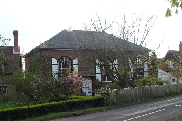
Rehoboth Chapel, Pell Green

Rehoboth Chapel is a former Strict Baptist place of worship in the hamlet of Pell Green in East Sussex, England. Pell Green is in the parish of Wadhurst...
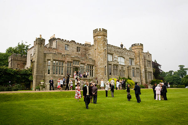
Wadhurst Castle

Wadhurst Castle is a 19th-century castellated mansion just to the west of the town of Wadhurst, East Sussex, England, in an elevated position overlooking...

Shover's Green Baptist Chapel

Shover's Green Baptist Chapel is a former Strict Baptist place of worship in the hamlet of Shover's Green in East Sussex, England. Shover's Green is in...

Wadhurst

Wadhurst is a market town in East Sussex, England. It is the centre of the civil parish of Wadhurst, which also includes the hamlets of Cousley Wood and...

Bewl Bridge Rowing Club

Bewl Bridge Rowing Club is a rowing club on the Bewl Water, based at Bewlbridge Lane, Lamberhurst, Wadhurst, Tunbridge Wells. Rowers aged 12 and upwards...

Wadhurst railway station

Wadhurst railway station is on the Hastings line in the south of England and serves the town of Wadhurst, East Sussex. It is 39 miles 23 chains (63.2 km...

Bewl Water

Bewl Water is a reservoir in the valley of the River Bewl, straddling the boundary between Kent and East Sussex in England. It is about 2 miles (3.2 km...

Nearby Amenities

Located within 500m of 51.063058,0.35214717
Barrier: stile
Lat/Long: 51.065034/0.350727
Little Pell Farm
Place: farm
Source Name: OS_OpenData_StreetView
Lat/Long: 51.0642028/0.3469491
Power: pole
Lat/Long: 51.0624311/0.3549609
Power: pole
Lat/Long: 51.0624328/0.3566641
Power: pole
Lat/Long: 51.0624362/0.357686
Power: pole
Lat/Long: 51.0624497/0.3590405
Power: pole
Lat/Long: 51.062303/0.3541133
Power: pole
Lat/Long: 51.061182/0.3518924
Power: pole
Lat/Long: 51.0604116/0.3504038
Power: pole
Lat/Long: 51.0597019/0.3489876
Power: pole
Lat/Long: 51.0597845/0.3488803
Power: pole
Lat/Long: 51.0604655/0.3502643
Power: pole
Lat/Long: 51.0613034/0.3518575
Power: pole
Lat/Long: 51.0624851/0.3540704
Power: pole
Lat/Long: 51.0630919/0.3550547
Power: pole
Lat/Long: 51.0616843/0.3528392
Power: pole
Lat/Long: 51.0619069/0.3530082
Power: pole
Lat/Long: 51.0641471/0.3562832
The data included in this document is from www.openstreetmap.org. The data is made available under ODbL.

Have you been to Blackman's Wood?

Leave your review of Blackman's Wood below (or comments, questions and feedback).