Duncey Plantation
Wood, Forest in Suffolk West Suffolk
England
Duncey Plantation
Duncey Plantation, located in Suffolk, England, is a historic and picturesque estate nestled within the woodlands of Suffolk's enchanting forest. Spread over a vast area, the plantation is renowned for its serene and idyllic surroundings, making it a popular destination for nature lovers and history enthusiasts alike.
The plantation boasts a rich history that dates back several centuries. Originally established in the 17th century, Duncey Plantation served as a prominent agricultural center during the feudal era. Over time, it evolved into a thriving estate, characterized by its vast stretches of lush greenery and breathtaking landscapes.
The plantation's woodland area is particularly noteworthy, with its dense forest cover providing a habitat to a diverse range of flora and fauna. Visitors can explore the well-maintained trails, immersing themselves in the beauty of the surroundings, and perhaps catching a glimpse of the elusive wildlife that call the plantation home.
Duncey Plantation also offers a variety of recreational activities, such as hiking, bird-watching, and picnicking, making it an ideal spot for a day trip or a weekend getaway. Additionally, the estate features a quaint café where visitors can relax and indulge in locally sourced refreshments, adding to the overall charm of the experience.
With its rich history, stunning natural landscapes, and tranquil ambiance, Duncey Plantation is undoubtedly a hidden gem within Suffolk's woodlands. Whether one seeks solace in nature or wishes to delve into the region's past, a visit to this historic estate is sure to leave a lasting impression.
If you have any feedback on the listing, please let us know in the comments section below.
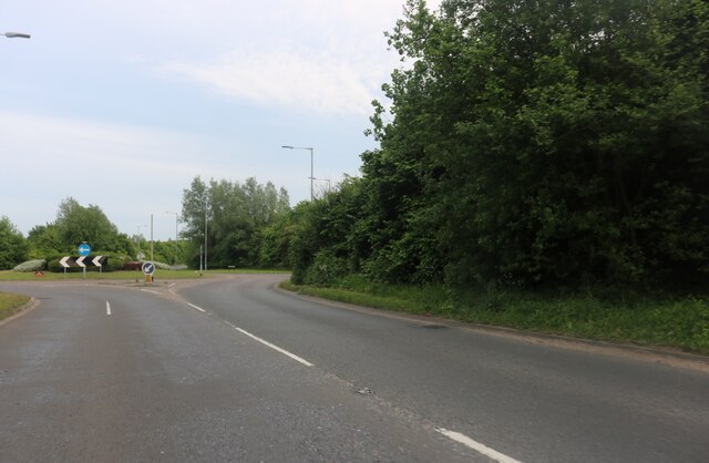
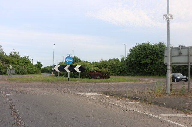
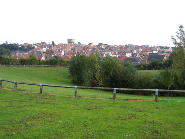
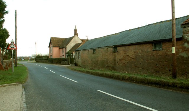
Duncey Plantation Images
Images are sourced within 2km of 52.080638/0.40048049 or Grid Reference TL6445. Thanks to Geograph Open Source API. All images are credited.


Duncey Plantation is located at Grid Ref: TL6445 (Lat: 52.080638, Lng: 0.40048049)
Administrative County: Suffolk
District: West Suffolk
Police Authority: Suffolk
What 3 Words
///language.allies.support. Near Haverhill, Suffolk
Nearby Locations
Related Wikis

Castle Manor Academy
Castle Manor Academy (formerly Castle Manor Business and Enterprise College) is a secondary phase converter academy school in Haverhill, Suffolk. ��2...

Castle Camps (village)
Castle Camps is a village and civil parish in the South Cambridgeshire district, in the county of Cambridgeshire, England. It is 15 miles (24 km) south...

Corn Exchange, Haverhill
The Corn Exchange is a commercial building in Withersfield Road in Haverhill, Suffolk, England. The structure, which is currently vacant and deteriorating...

Haverhill railway station (England)
Haverhill railway station was a station in Haverhill, Suffolk, on the Stour Valley Railway, which opened in 1865 and closed in 1967. It was sometimes known...
Haverhill South railway station
Haverhill South railway station was located in Haverhill, Suffolk. It was a terminus on the Colne Valley and Halstead Railway. In 1924 passenger services...

Haverhill, Suffolk
Haverhill ( HAY-vər-hil, HAYV-ril) is a market town and civil parish in the county of Suffolk, England, next to the borders of Essex and Cambridgeshire...
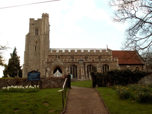
Withersfield
Withersfield is a village and civil parish in the West Suffolk district of Suffolk in eastern England. In 2011 its population was 450. It has a public...
Haverhill Borough F.C.
Haverhill Borough Football Club is a football club based in Haverhill in England. They are currently members of the Eastern Counties League Division One...
Have you been to Duncey Plantation?
Leave your review of Duncey Plantation below (or comments, questions and feedback).