Barsey Groves
Wood, Forest in Cambridgeshire South Cambridgeshire
England
Barsey Groves
Barsey Groves is a picturesque woodland located in the county of Cambridgeshire, England. Spanning over a vast area, it is known for its dense tree cover and tranquil atmosphere. The groves are situated in close proximity to the village of Barsey, adding to its charm and accessibility.
The woodland is primarily composed of various species of trees, including oak, beech, and pine, which create a rich and diverse ecosystem. The trees stretch tall and proud, forming a dense canopy that filters the sunlight and creates a cool and shaded environment underneath. This makes Barsey Groves an ideal destination for nature enthusiasts, hikers, and those seeking solace amidst nature.
The forest floor is carpeted with a vibrant assortment of wildflowers, ferns, and mosses, adding splashes of color to the otherwise green landscape. The undergrowth is home to numerous small mammals, birds, and insects, making it a haven for wildlife enthusiasts and bird watchers.
Barsey Groves offers a network of well-maintained trails that wind through the woodland, providing visitors with opportunities to explore and discover hidden gems within its depths. Along these paths, one may stumble upon babbling brooks, small ponds, and even the occasional ancient tree, adding to the enchanting allure of the groves.
Whether one seeks a peaceful stroll, a chance to connect with nature, or simply a break from the hustle and bustle of modern life, Barsey Groves in Cambridgeshire provides an idyllic setting to do so. It is a place where one can immerse themselves in the beauty of the natural world and find respite from the demands of everyday life.
If you have any feedback on the listing, please let us know in the comments section below.
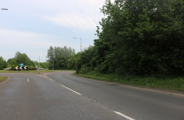
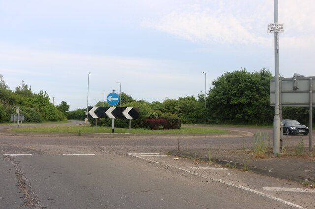
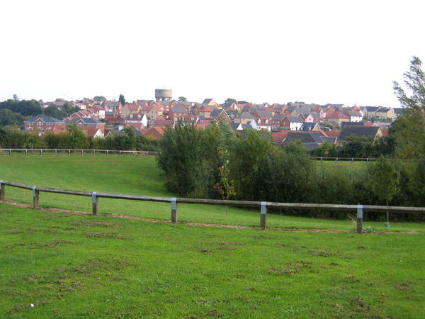
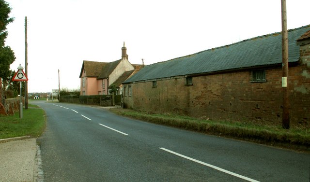
Barsey Groves Images
Images are sourced within 2km of 52.082231/0.39999672 or Grid Reference TL6445. Thanks to Geograph Open Source API. All images are credited.


Barsey Groves is located at Grid Ref: TL6445 (Lat: 52.082231, Lng: 0.39999672)
Administrative County: Cambridgeshire
District: South Cambridgeshire
Police Authority: Cambridgeshire
What 3 Words
///heartache.remarked.engulfing. Near Haverhill, Suffolk
Nearby Locations
Related Wikis

Castle Manor Academy
Castle Manor Academy (formerly Castle Manor Business and Enterprise College) is a secondary phase converter academy school in Haverhill, Suffolk. ��2...

Corn Exchange, Haverhill
The Corn Exchange is a commercial building in Withersfield Road in Haverhill, Suffolk, England. The structure, which is currently vacant and deteriorating...

Castle Camps (village)
Castle Camps is a village and civil parish in the South Cambridgeshire district, in the county of Cambridgeshire, England. It is 15 miles (24 km) south...

Haverhill railway station (England)
Haverhill railway station was a station in Haverhill, Suffolk, on the Stour Valley Railway, which opened in 1865 and closed in 1967. It was sometimes known...
Haverhill South railway station
Haverhill South railway station was located in Haverhill, Suffolk. It was a terminus on the Colne Valley and Halstead Railway. In 1924 passenger services...

Haverhill, Suffolk
Haverhill ( HAY-vər-hil, HAYV-ril) is a market town and civil parish in the county of Suffolk, England, next to the borders of Essex and Cambridgeshire...
Withersfield
Withersfield is a village and civil parish in the West Suffolk district of Suffolk in eastern England. In 2011 its population was 450. It has a public...

Over and Lawn Woods
Over and Lawn Woods is a 43.3-hectare (107-acre) biological Site of Special Scientific Interest north-west of Haverhill in Suffolk. It is listed by Natural...
Have you been to Barsey Groves?
Leave your review of Barsey Groves below (or comments, questions and feedback).