Dens Wood
Wood, Forest in Sussex Wealden
England
Dens Wood
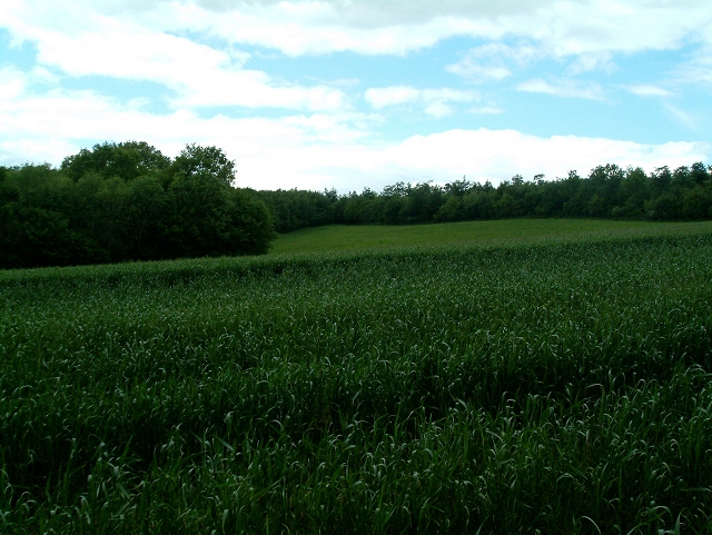
Dens Wood, located in Sussex, England, is a picturesque woodland area spanning approximately 100 hectares. This ancient woodland is renowned for its diverse flora and fauna, making it a popular destination for nature enthusiasts and hikers alike.
The wood is composed of a mix of broadleaf trees, including oak, beech, and ash, which create a dense canopy that provides shade and shelter for a range of wildlife. Bluebells carpet the forest floor during the spring, creating a stunning display of vibrant colors. In addition to bluebells, other wildflowers such as wood anemones and primroses can be spotted throughout the wood.
A network of well-maintained trails meanders through Dens Wood, allowing visitors to explore its beauty at their own pace. These trails provide access to various habitats within the wood, including wetland areas, ponds, and grassy clearings. Birdwatchers can catch a glimpse of species such as woodpeckers, warblers, and owls, while lucky visitors might even spot deer or foxes.
Dens Wood has a rich history, with evidence of human activity dating back to the Iron Age. The remains of ancient earthworks and ditches can still be seen, adding an element of intrigue to the woodland experience. The wood is also home to a variety of fungi, providing a fascinating opportunity for mushroom enthusiasts.
Overall, Dens Wood offers a tranquil and enchanting escape from the hustle and bustle of everyday life. Its natural beauty, diverse wildlife, and historical significance make it an ideal destination for those seeking to immerse themselves in the wonders of nature.
If you have any feedback on the listing, please let us know in the comments section below.
Dens Wood Images
Images are sourced within 2km of 51.028018/0.33963333 or Grid Reference TQ6428. Thanks to Geograph Open Source API. All images are credited.


Dens Wood is located at Grid Ref: TQ6428 (Lat: 51.028018, Lng: 0.33963333)
Administrative County: East Sussex
District: Wealden
Police Authority: Sussex
What 3 Words
///mainframe.smaller.dragonfly. Near Wadhurst, East Sussex
Nearby Locations
Related Wikis

Wadhurst Park
Wadhurst Park is a landed estate located in Wadhurst, East Sussex. It is owned by the Rausing family. The estate is 796 hectares and includes a deer park...

Stonegate railway station
Stonegate railway station (not to be confused with Stone Crossing) is on the Hastings line in the south of England. It is located between Witherenden Hill...

Holmshurst Manor
Holmshurst Manor is a Jacobean country house near Burwash in East Sussex, England. In 1970 it was purchased by Roger Daltrey of The Who. == Description... ==
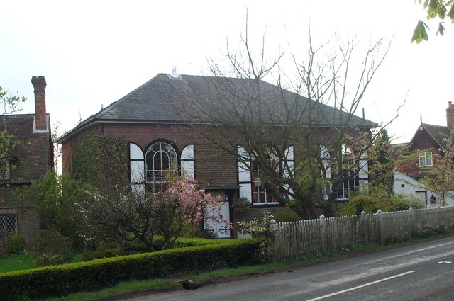
Shover's Green Baptist Chapel
Shover's Green Baptist Chapel is a former Strict Baptist place of worship in the hamlet of Shover's Green in East Sussex, England. Shover's Green is in...
Nearby Amenities
Located within 500m of 51.028018,0.33963333Have you been to Dens Wood?
Leave your review of Dens Wood below (or comments, questions and feedback).