Forge Wood

Wood, Forest in Kent Tunbridge Wells

England

Forge Wood

Woodland Cabin near Sunningyle Farm Near Rushet Wood is a field with a group of holiday homes. Luxury camping style.
Woodland Cabin near Sunningyle Farm Credit: David Anstiss

Forge Wood is a newly developed residential area located in the borough of Crawley, West Sussex, England. Situated approximately 30 miles south of London, it is part of the larger Worth Forest, an ancient woodland that dates back several centuries. As the name suggests, Forge Wood was historically used as a site for iron smelting and blacksmithing, providing the area with a rich industrial heritage.

Covering an area of around 160 hectares, Forge Wood is a master-planned community that was constructed to meet the growing demand for housing in the region. The development began in 2014 and is expected to provide approximately 1,900 homes upon completion. The design of Forge Wood aims to offer a sustainable and environmentally friendly living environment, with a focus on green spaces, pedestrian-friendly streets, and a well-connected network of cycle paths.

The residential properties in Forge Wood vary in style and size, offering a mix of apartments, townhouses, and detached houses. The community also includes amenities such as a primary school, a community center, and a local retail area to cater to the needs of its residents. Furthermore, the development incorporates a number of public open spaces, including parks, play areas, and nature reserves, allowing residents to enjoy the natural beauty of the surrounding woodland.

Forge Wood benefits from its proximity to Gatwick Airport, which is located just a few miles away, making it an attractive location for professionals working in the aviation industry. The area is well-connected to the wider region by road and rail, with easy access to major transport links such as the M23 motorway and Three Bridges railway station.

Overall, Forge Wood offers a modern and sustainable living environment, combining the tranquility of the surrounding forest with the convenience of nearby amenities and excellent transport links.

If you have any feedback on the listing, please let us know in the comments section below.
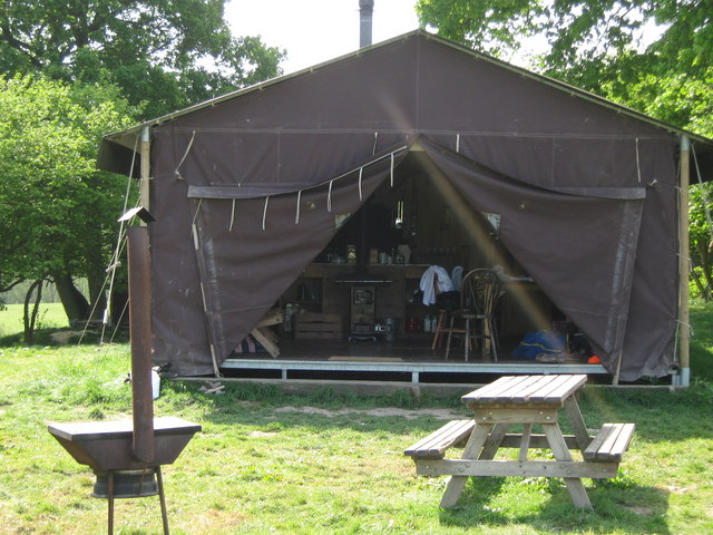
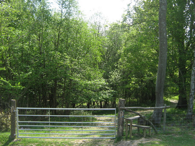
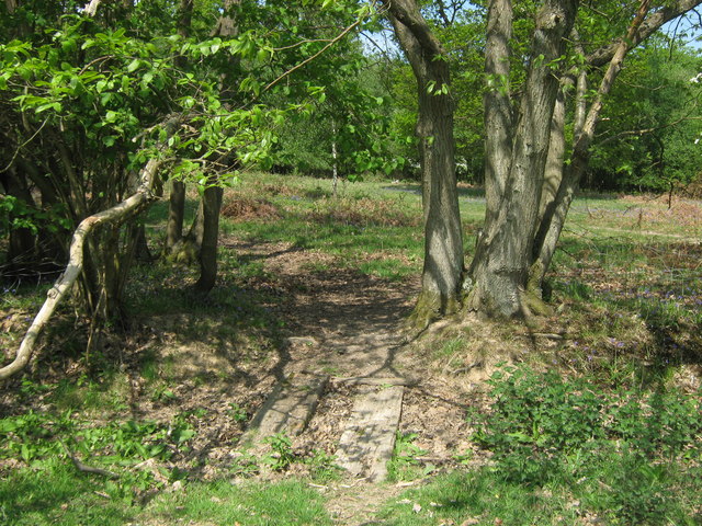
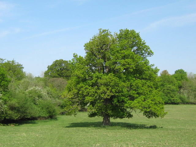
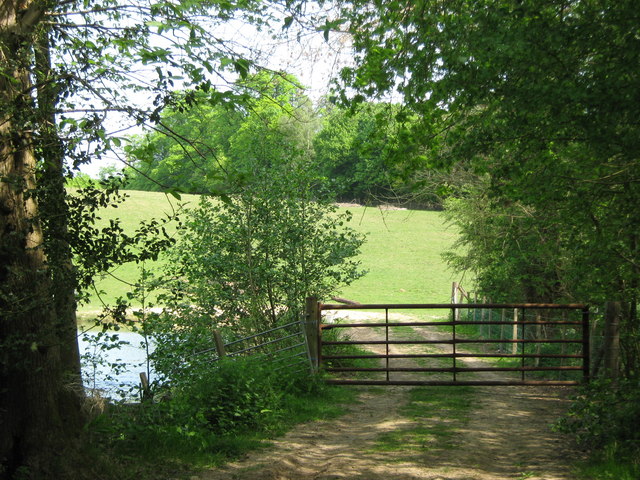
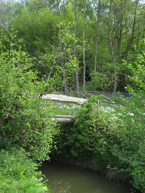
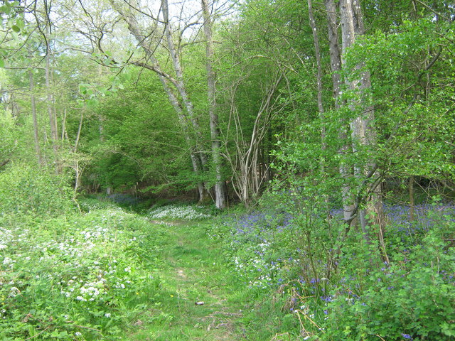
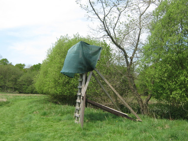
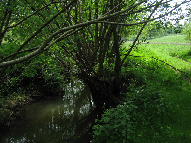
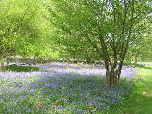
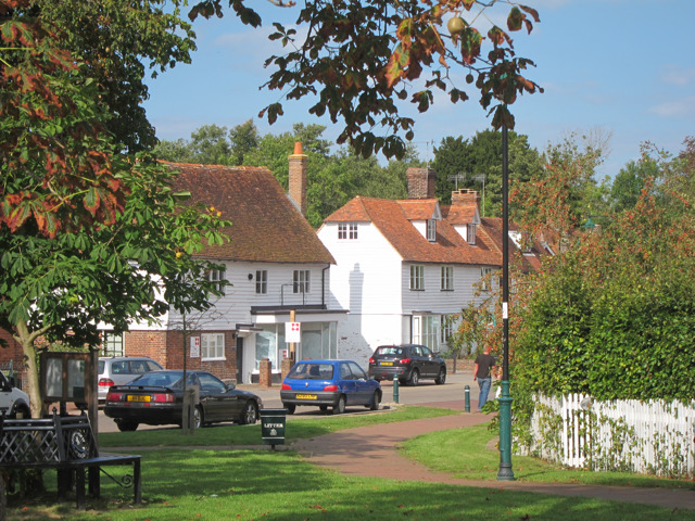
Forge Wood Images

Images are sourced within 2km of 51.1081/0.34086147 or Grid Reference TQ6336. Thanks to Geograph Open Source API. All images are credited.

Woodland Cabin near Sunningyle Farm Near Rushet Wood is a field with a group of holiday homes. Luxury camping style.
Woodland Cabin near Sunningyle Farm
Near Rushet Wood is a field with a group of holiday homes. Luxury camping style.
Stile and gate near Rushet Wood This stile is on a Natural England permissive path into the Wood and towards the River Teise.
Stile and gate near Rushet Wood
This stile is on a Natural England permissive path into the Wood and towards the River Teise.
Footbridge near Rushet Wood This bridge leads over a field drain near the wood. Currently it is dried out.
The bridge is used by a Natural England permissive path between the River Teise and Rushet Wood (in the background).
Footbridge near Rushet Wood
This bridge leads over a field drain near the wood. Currently it is dried out. The bridge is used by a Natural England permissive path between the River Teise and Rushet Wood (in the background).
Oak Tree near Rushet Wood This tree is beside a Natural England permissive path from the River Teise towards the wood (in the background).
Oak Tree near Rushet Wood
This tree is beside a Natural England permissive path from the River Teise towards the wood (in the background).
Gate near River Teise This gate is used by a Natural England permissive path leading from the Coneyburrow Wood beside the river, towards Rushet Wood near Dundale Road.
On the left is a small pond on the river.
Gate near River Teise
This gate is used by a Natural England permissive path leading from the Coneyburrow Wood beside the river, towards Rushet Wood near Dundale Road. On the left is a small pond on the river.
Footbridge over River Teise This bridge is used by a Natural England permissive path, leading over the river towards Furnace Wood.
Footbridge over River Teise
This bridge is used by a Natural England permissive path, leading over the river towards Furnace Wood.
Woodland Track in Furnace Wood This track leads from Bayham Lake through Furnace Wood towards Brown's Lodge.
On the left are masses of Wild Garlic and on the right (under the trees) are bluebells.
Woodland Track in Furnace Wood
This track leads from Bayham Lake through Furnace Wood towards Brown's Lodge. On the left are masses of Wild Garlic and on the right (under the trees) are bluebells.
Bluebells in Furnace Wood  As seen from the woodland track beside the wood.
Bluebells in Furnace Wood
As seen from the woodland track beside the wood.
Track in Furnace Wood This track leads from Tollslye Cottage near Bayham Lake, through the wood towards Brown's Lodge on Dundale Road.
Track in Furnace Wood
This track leads from Tollslye Cottage near Bayham Lake, through the wood towards Brown's Lodge on Dundale Road.
River Teise in Furnace Wood This long river flows from Great Bayhall Farm through the wood towards Bayham Lake. The section from Dundale Road towards the lake is also the country boundary. The wild garlic and bluebells are in Kent, across the river is East Sussex.
River Teise in Furnace Wood
This long river flows from Great Bayhall Farm through the wood towards Bayham Lake. The section from Dundale Road towards the lake is also the country boundary. The wild garlic and bluebells are in Kent, across the river is East Sussex.
Wild Garlic in Jews Wood As seen from a track leading into the wood. On the right are a few bluebells.
Wild Garlic in Jews Wood
As seen from a track leading into the wood. On the right are a few bluebells.
Track junction in Jews Wood A woodland track from Oxpasture Wood leads straight on towards Tollslye Cottage and Bayham Abbey. The track on the right climbs up and around to Bayham Lake.
Track junction in Jews Wood
A woodland track from Oxpasture Wood leads straight on towards Tollslye Cottage and Bayham Abbey. The track on the right climbs up and around to Bayham Lake.
Track in Jews Wood This track leads from Oxpasture Wood, towards Bayham Lake.
Track in Jews Wood
This track leads from Oxpasture Wood, towards Bayham Lake.
Long Track in Jews Wood This very long straight track leads from Bayham Abbey and Lake towards Oxpasture Wood.
Long Track in Jews Wood
This very long straight track leads from Bayham Abbey and Lake towards Oxpasture Wood.
Stream in Jews Wood This woodland stream, leads from Oxpasture Wood, through Jews Wood and into the River Teise feeding into Bayham Lake.
Stream in Jews Wood
This woodland stream, leads from Oxpasture Wood, through Jews Wood and into the River Teise feeding into Bayham Lake.
Hide beside the River Teise This raised view point gives a view of the wildlife around the River (on the right).
Hide beside the River Teise
This raised view point gives a view of the wildlife around the River (on the right).
River Teise This river leads from Siseley Wood, around Great Bayhall, and then through Furnace Wood, heading towards Bayham Lake. This is close to Furnace Wood.
River Teise
This river leads from Siseley Wood, around Great Bayhall, and then through Furnace Wood, heading towards Bayham Lake. This is close to Furnace Wood.
Bluebells in Coneyburrow Wood As seen from a woodland permissive path beside the River Teise.
Bluebells in Coneyburrow Wood
As seen from a woodland permissive path beside the River Teise.
Show me another place!

Forge Wood is located at Grid Ref: TQ6336 (Lat: 51.1081, Lng: 0.34086147)

Administrative County: Kent

District: Tunbridge Wells

Police Authority: Kent

What 3 Words

///uplifting.owners.prompting. Near Lamberhurst, Kent

Related Wikis

Tunbridge Wells (UK Parliament constituency)

Tunbridge Wells is a constituency in Kent represented in the House of Commons of the UK Parliament since 2005 by Greg Clark, a Conservative who served...

Bayham Old Abbey

Bayham Old Abbey is an English Heritage property, located near Lamberhurst, Kent, England. Founded c. 1208 through a combination of the failing Premonstratensian...

Lamberhurst Quarter

Lamberhurst Quarter is a hamlet on the A21 road, in the English county of Kent. It is near the village of Lamberhurst. == References == http://getamap...

Brookland Wood

Brookland Wood is a 10.9-hectare (27-acre) biological Site of Special Scientific Interest east of Tunbridge Wells in Kent.This site has diverse types of...

Frant railway station

Frant railway station is on the Hastings line in East Sussex, England, and serves the civil parish of Frant (although the station is actually located some...

Rehoboth Chapel, Pell Green

Rehoboth Chapel is a former Strict Baptist place of worship in the hamlet of Pell Green in East Sussex, England. Pell Green is in the parish of Wadhurst...

Lamberhurst

Lamberhurst ( is a village and civil parish in the borough of Tunbridge Wells in Kent, England. The parish contains the hamlets of The Down and Hook Green...

St Luke's Church, Matfield

St Luke's Church is a parish church in the village of Matfield, Kent, England. It is a Grade II listed building.The church is dedicated to Luke the Evangelist...

Nearby Amenities

Located within 500m of 51.1081,0.34086147
Bayham Abbey
Building: yes
Source: OS7
Lat/Long: 51.1077338/0.3479998
The data included in this document is from www.openstreetmap.org. The data is made available under ODbL.

Have you been to Forge Wood?

Leave your review of Forge Wood below (or comments, questions and feedback).