Aston Sandford

Settlement in Buckinghamshire

England

Aston Sandford

Train heading towards London DMU No. 165018 heads south towards Princes Risborough with the 1147 departure from Banbury to London Marylebone.  This train does not call at the nearby Haddenham & Thame Parkway Station.
Train heading towards London Credit: Bob Walters

Aston Sandford is a small village located in the county of Buckinghamshire, England. It lies approximately 7 miles east of Aylesbury, the county town, and is situated in the Aylesbury Vale district. The village is nestled in the picturesque countryside, surrounded by rolling hills and farmland.

Aston Sandford is known for its quaint and idyllic charm, with a population of around 200 residents. The village features a mix of traditional cottages and more modern houses, creating a harmonious blend of old and new architecture. The village is well-preserved and has retained much of its historic character.

The centerpiece of the village is its beautiful church, St. Michael and All Angels, which dates back to the 13th century. The church is a Grade II* listed building and boasts stunning medieval features, including a Norman doorway and a 14th-century font. It serves as a focal point for the community and holds regular services and events.

Aston Sandford is surrounded by an abundance of natural beauty, making it a popular destination for outdoor enthusiasts. The village is surrounded by several footpaths and bridleways, offering scenic walks and cycling routes. The nearby countryside provides opportunities for birdwatching and wildlife spotting.

While Aston Sandford may be small, it offers a peaceful and close-knit community. The village has a strong sense of community spirit, with various social clubs and events taking place throughout the year. Overall, Aston Sandford offers a tranquil and picturesque setting, making it an ideal place for those seeking a rural and peaceful lifestyle.

If you have any feedback on the listing, please let us know in the comments section below.

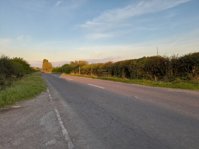
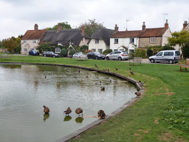
Aston Sandford Images

Images are sourced within 2km of 51.76379/-0.90446 or Grid Reference SP7507. Thanks to Geograph Open Source API. All images are credited.

Train heading towards London DMU No. 165018 heads south towards Princes Risborough with the 1147 departure from Banbury to London Marylebone.  This train does not call at the nearby Haddenham & Thame Parkway Station.
Train heading towards London
DMU No. 165018 heads south towards Princes Risborough with the 1147 departure from Banbury to London Marylebone. This train does not call at the nearby Haddenham & Thame Parkway Station.
Iron Bridge near Kingsey All rivets and girders, this solid bit of engineering takes the A4129 over the railway as it approaches Haddenham.
Iron Bridge near Kingsey
All rivets and girders, this solid bit of engineering takes the A4129 over the railway as it approaches Haddenham.
Track to Wootton Grounds farm
Field by Lower Road, Ford
Lower Road, Ford
Lower Road, Ford
Lower Road west of Haddenham
Lower Road, Haddenham
New houses on Stanbridge Road, Haddenham
Converted barns on Stanbridge Road, Aston Sandford
Stanbridge Road, Aston Sandford
Field by Stanbridge Road, Aston Sandford
Railway bridge NAJ2  UB105 The Northolt - Ashenden section of the GWR/GCR line from London to points north crosses Stanbridge Road.
Railway bridge NAJ2 UB105
The Northolt - Ashenden section of the GWR/GCR line from London to points north crosses Stanbridge Road.
A glimpse of a sewage works Looking over the railway line.
A glimpse of a sewage works
Looking over the railway line.
Field south of Stanbridge Road
Haddenham church St. Mary's is a grade I listed building, mostly early 13th century.
Haddenham church
St. Mary's is a grade I listed building, mostly early 13th century.
The Anchor, Haddenham Formerly an inn, now a house. A grade II listed building, 17th/18th century.
The Anchor, Haddenham
Formerly an inn, now a house. A grade II listed building, 17th/18th century.
Houses, Church End, Haddenham
Pond and houses, Church End, Haddenham
Show me another place!

Aston Sandford is located at Grid Ref: SP7507 (Lat: 51.76379, Lng: -0.90446)

Unitary Authority: Buckinghamshire

Police Authority: Thames Valley

What 3 Words

///profiled.mini.trapdoor. Near Haddenham, Buckinghamshire

Nearby Locations

Aston Sandford

Related Wikis

Aston Sandford

Aston Sandford is a small village and civil parish in Buckinghamshire, England, about 1 mile (1.6 km) east of Haddenham and 4 miles (6.4 km) northwest...

Aston Mullins

Aston Mullins is a hamlet in the parish of Dinton, in Buckinghamshire, England. At the 2011 Census the population of the hamlet was included in the civil...

St Mary's Church, Haddenham

St Mary's Church is the Church of England parish church of Haddenham, Buckinghamshire It is a Grade I listed building. == History == Parts of the church...

Haddenham War Memorial

Haddenham War Memorial is located in Church End, Haddenham, Buckinghamshire, England. It is a grade II listed building with Historic England. It was built...

Nearby Amenities

Located within 500m of 51.76379,-0.90446
Aston Sandford
Place: village
Source: OS25k
Wikidata: Q3088093
Wikipedia: en:Aston Sandford
Lat/Long: 51.764206/-0.9022683
Post Box
Brand: Royal Mail
Brand Wikidata: Q638098
Brand Wikipedia: en:Royal Mail
Collection Times: Mo-Fr 16:45; Sa 08:00
Operator: Royal Mail
Operator Wikidata: Q638098
Post Box Type: wall
Ref: HP17 165
Royal Cypher: GVIR
Royal Cypher Wikidata: Q33102169
Source: survey
Survey Date: 2017-08-27
Lat/Long: 51.764229/-0.9058148
Place: farm
Lat/Long: 51.7647314/-0.9064176
Entrance: yes
Lat/Long: 51.7644151/-0.9052654
Bench
Backrest: yes
Lat/Long: 51.7642917/-0.9051088
Barrier: kissing_gate
Lat/Long: 51.7616215/-0.9032091
Barrier: kissing_gate
Lat/Long: 51.7632231/-0.9015605
Barrier: stile
Stile: stepover
Lat/Long: 51.7623989/-0.8982623
The data included in this document is from www.openstreetmap.org. The data is made available under ODbL.

Have you been to Aston Sandford?

Leave your review of Aston Sandford below (or comments, questions and feedback).