Aston Rowant

Settlement in Oxfordshire South Oxfordshire

England

Aston Rowant

Thatched cottage, Church Lane, Aston Rowant
Thatched cottage, Church Lane, Aston Rowant Credit: David Hawgood

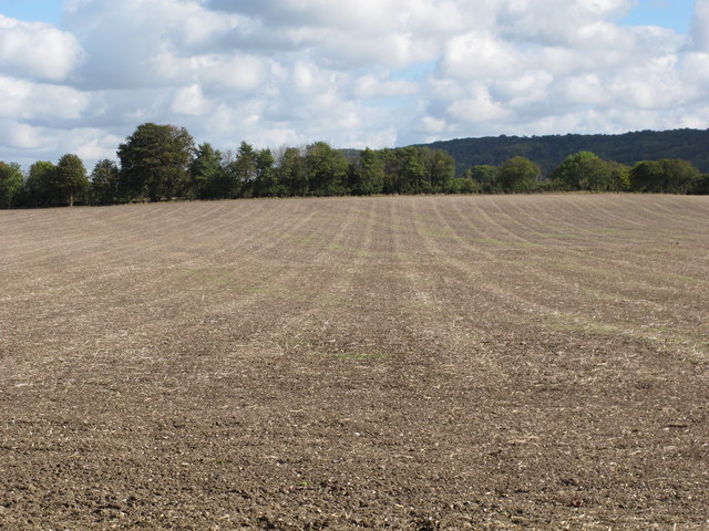
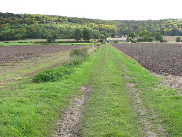
Aston Rowant is a picturesque village located in the county of Oxfordshire, England. Situated within the Chiltern Hills, it lies approximately 10 miles southeast of the city of Oxford. The village is nestled amidst stunning countryside, offering panoramic views of the surrounding rolling hills and green landscapes.

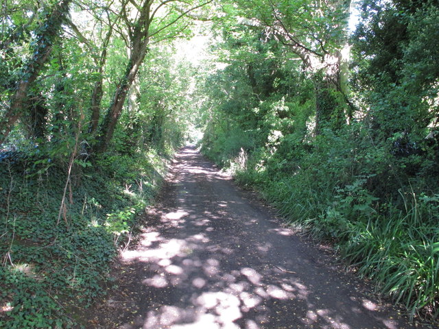
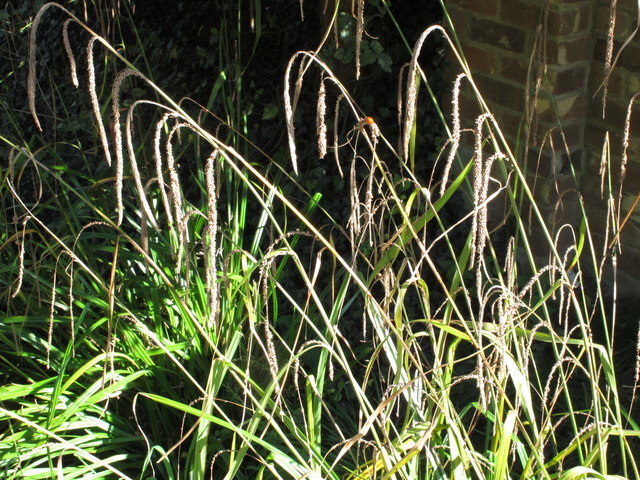
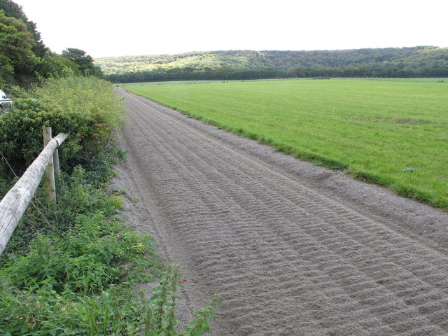
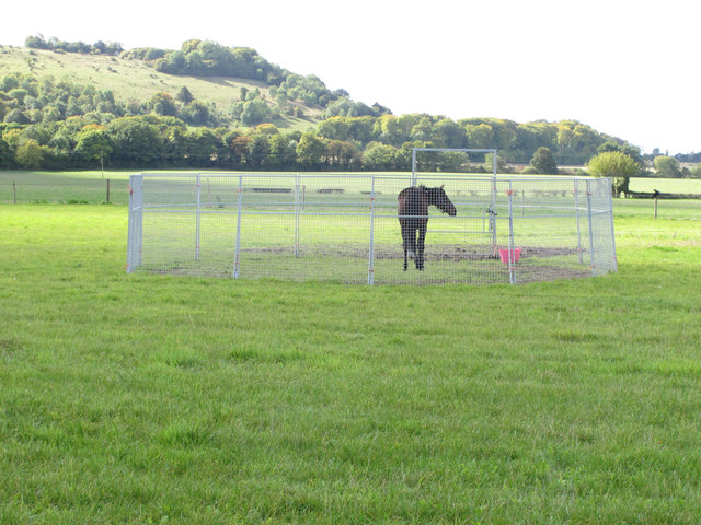
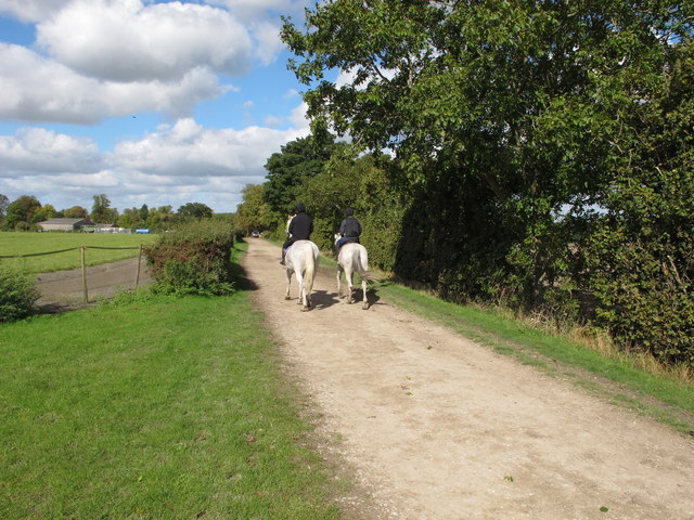
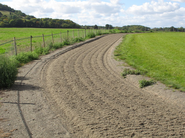
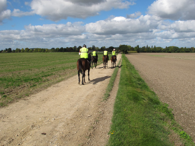
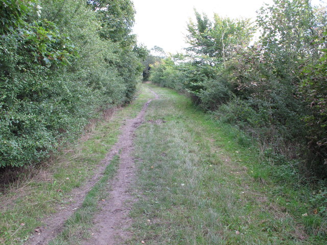
Aston Rowant is renowned for its natural beauty and is a popular destination for outdoor enthusiasts. The area is crisscrossed with walking trails and bridleways, making it ideal for hikers, cyclists, and horse riders. The nearby Aston Rowant National Nature Reserve is a haven for wildlife, boasting a diverse range of flora and fauna.

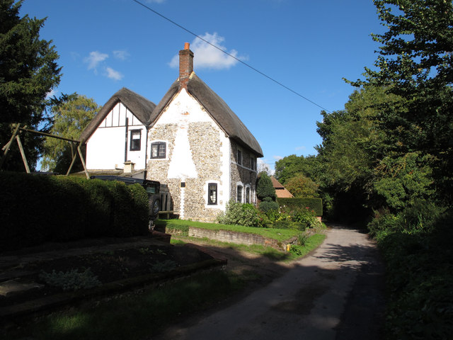
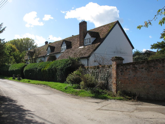
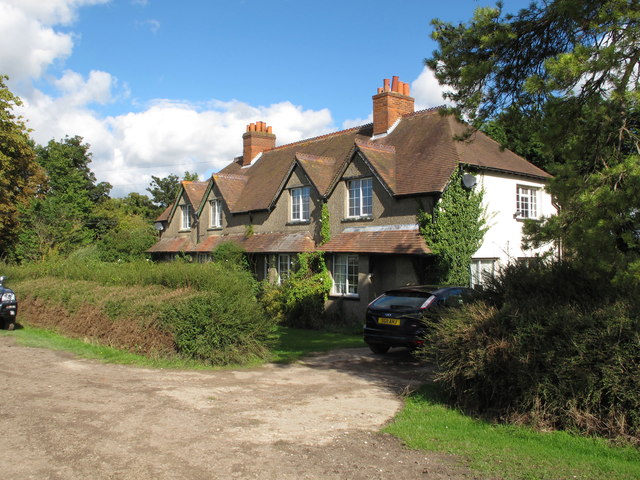
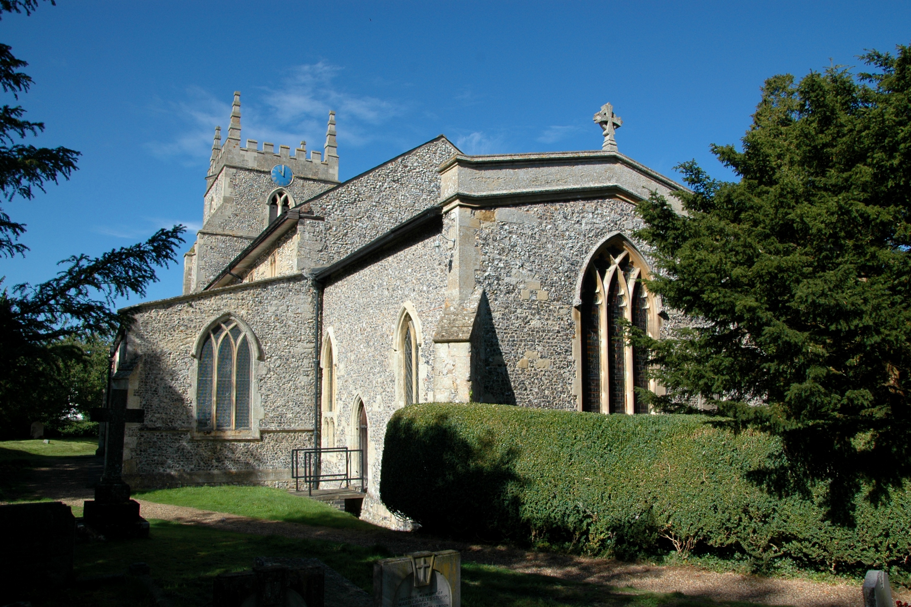
The village itself is small and charming, with a close-knit community. It retains much of its traditional character, with a cluster of historic cottages and buildings, some dating back several centuries. The local parish church, St. Peter and St. Paul, is a notable landmark, known for its elegant architecture.

While primarily a residential area, Aston Rowant offers a few amenities to its residents. These include a village hall, a primary school, and a pub, providing a gathering place for locals and visitors alike.

Despite its tranquil rural setting, Aston Rowant benefits from its proximity to major transport links. The M40 motorway is easily accessible, providing convenient connections to London and Birmingham. Additionally, the city of Oxford is within a short drive, offering a wide range of cultural, educational, and recreational opportunities.

Overall, Aston Rowant is a quintessential English village, offering a peaceful and idyllic lifestyle amidst stunning natural surroundings.

If you have any feedback on the listing, please let us know in the comments section below.
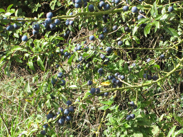
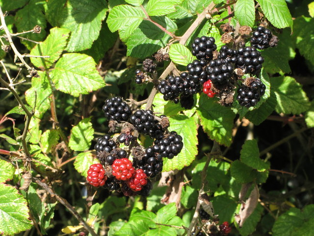
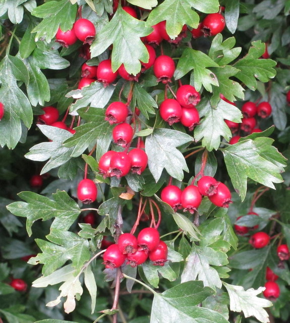
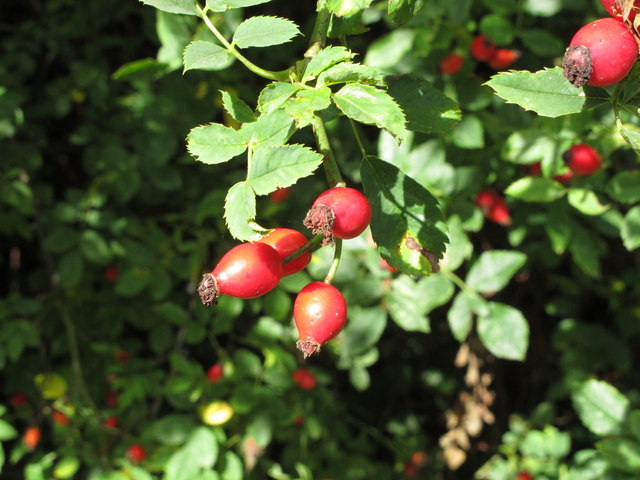
Aston Rowant Images

Images are sourced within 2km of 51.68181/-0.947404 or Grid Reference SU7298. Thanks to Geograph Open Source API. All images are credited.

Thatched cottage, Church Lane, Aston Rowant
Church Lane, Aston Rowant - part of old "London Weye" The Aston Rowant Discovery Trail signs say that Church Lane is thought to be on the London Weye, a route to Oxford used in the Middle ages, and used by the future Queen Elizabeth I when released from the Tower of London and banished to country confinement in Woodstock. It is now a public bridleway.
Church Lane, Aston Rowant - part of old "London Weye"
The Aston Rowant Discovery Trail signs say that Church Lane is thought to be on the London Weye, a route to Oxford used in the Middle ages, and used by the future Queen Elizabeth I when released from the Tower of London and banished to country confinement in Woodstock. It is now a public bridleway.
Ornamental grass, with ladybird This is beside Church Lane, Aston Rowant.
Ornamental grass, with ladybird
This is beside Church Lane, Aston Rowant.
Aston Park House View from Church Lane.
Aston Park House
View from Church Lane.
Gallop, Aston Rowant View up to Aston Wood on the Chilterns scarp.
Gallop, Aston Rowant
View up to Aston Wood on the Chilterns scarp.
Corralled horse, view to Beacon Hill This horse in the field with gallops appears to have been put into solitary confinement in its own little cage. The view beyond is to Beacon Hill, part of Aston Rowant  National Nature Reserve.
Corralled horse, view to Beacon Hill
This horse in the field with gallops appears to have been put into solitary confinement in its own little cage. The view beyond is to Beacon Hill, part of Aston Rowant National Nature Reserve.
Woodway Cottages, Aston Rowant
Ploughed and seeded field, Aston Rowant The green of a new crop is just beginning to show.
Ploughed and seeded field, Aston Rowant
The green of a new crop is just beginning to show.
White horses with black-clad riders, Aston Rowant The horse exercise gallops and Woodway Farm are seen on the left.
White horses with black-clad riders, Aston Rowant
The horse exercise gallops and Woodway Farm are seen on the left.
Gallop on Woodway Farm, Aston Rowant
Horse riders with hi-viz jackets, Aston Rowant They are on the track from Icknield Way to Aston Rowant.
Horse riders with hi-viz jackets, Aston Rowant
They are on the track from Icknield Way to Aston Rowant.
Icknield Way near Aston Rowant This is also the Ridgeway long-distance trail.
Icknield Way near Aston Rowant
This is also the Ridgeway long-distance trail.
Sloes by the Ridgeway
Blackberries by the Ridgeway
Haws by the Ridgeway
Rose hips by the Ridgeway
7-spot ladybird in hedgerow Seven-spot ladybird in hedgerow by the Ridgeway. I think it is on a hazel leaf.
7-spot ladybird in hedgerow
Seven-spot ladybird in hedgerow by the Ridgeway. I think it is on a hazel leaf.
Track to Grove Farm Grove Wood and Kingston Wood clothe the Chilterns scarp behind the farm. Photo from the Ridgeway.
Track to Grove Farm
Grove Wood and Kingston Wood clothe the Chilterns scarp behind the farm. Photo from the Ridgeway.
Show me another place!

Aston Rowant is located at Grid Ref: SU7298 (Lat: 51.68181, Lng: -0.947404)

Administrative County: Oxfordshire

District: South Oxfordshire

Police Authority: Thames Valley

What 3 Words

///huddling.piles.trick. Near Chinnor, Oxfordshire

Nearby Locations

Aston Rowant

Related Wikis

Aston Rowant

Aston Rowant (anciently Aston Rohant) is a village, civil parish and former manor about 4+1⁄2 miles (7 km) south of Thame in South Oxfordshire, England...

Aston Rowant railway station

Aston Rowant railway station was opened in 1872 and was a part of the Watlington and Princes Risborough Railway. Having closed in 1961, there have been...
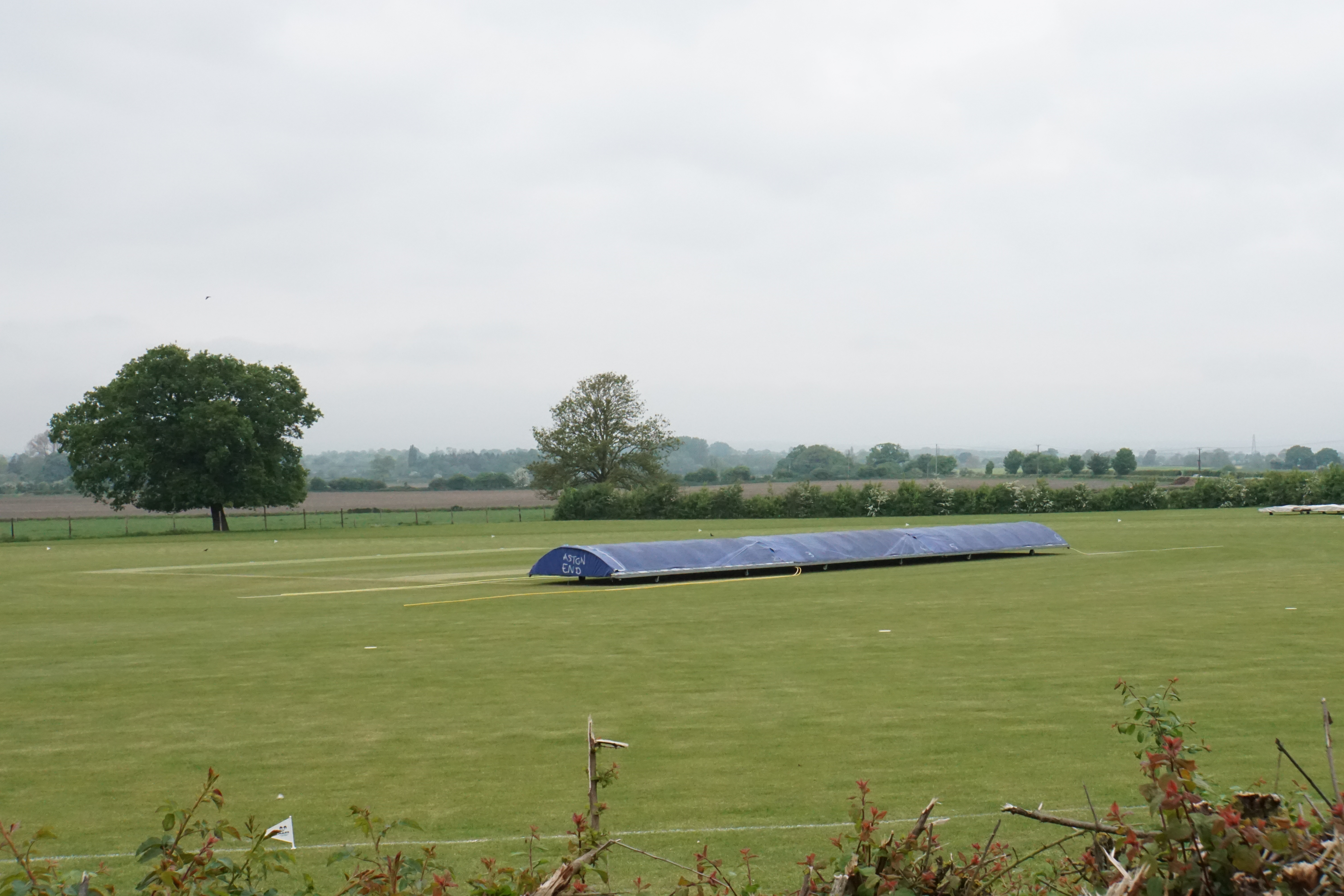
Butt's Way

Butt's Way is a cricket ground between the villages of Aston Rowant and Kingston Blount in Oxfordshire. == History == The cricket ground was established...

Kingston Crossing Halt railway station

Kingston Crossing Halt railway station was a halt on the Watlington and Princes Risborough Railway which the Great Western Railway opened in 1906 to serve...

Nearby Amenities

Located within 500m of 51.68181,-0.947404
Aston Rowant
Place: village
Wikidata: Q1983028
Wikipedia: en:Aston Rowant
Lat/Long: 51.6853033/-0.9489914
Turning Circle
Turning Circle: knuckle
Lat/Long: 51.6859893/-0.9472399
Tower Cottage B&B
Tourism: guest_house
Lat/Long: 51.6816397/-0.9489148
Post Box
Brand: Royal Mail
Brand Wikidata: Q638098
Collection Times: Mo-Fr 16:15; Sa 08:15
Operator: Royal Mail
Operator Wikidata: Q638098
Post Box Mounting: pier
Post Box Type: lamp
Ref: OX49 526
Royal Cypher: EIIR
Royal Cypher Wikidata: Q33102113
Lat/Long: 51.680182/-0.9512399
Post Box
Brand: Royal Mail
Brand Wikidata: Q638098
Collection Times: Mo-Fr 15:45; Sa 08:15
Operator: Royal Mail
Operator Wikidata: Q638098
Post Box Mounting: brick_wall
Post Box Type: wall
Ref: OX49 481
Royal Cypher: GVIR
Royal Cypher Wikidata: Q33102169
Lat/Long: 51.6855043/-0.9488877
Direction: 210
Generator Method: photovoltaic
Generator Output Electricity: yes
Generator Solar Modules: 14
Generator Source: solar
Generator Type: solar_photovoltaic_panel
Location: roof
Power: generator
Lat/Long: 51.6839678/-0.9495828
Direction: 150
Generator Method: photovoltaic
Generator Output Electricity: yes
Generator Solar Modules: 10
Generator Source: solar
Generator Type: solar_photovoltaic_panel
Location: roof
Power: generator
Lat/Long: 51.6845953/-0.9490915
Direction: 240
Generator Method: photovoltaic
Generator Output Electricity: yes
Generator Solar Modules: 5
Generator Source: solar
Generator Type: solar_photovoltaic_panel
Location: roof
Power: generator
Lat/Long: 51.6846737/-0.9490359
Direction: 170
Generator Method: photovoltaic
Generator Output Electricity: yes
Generator Solar Modules: 16
Generator Source: solar
Generator Type: solar_photovoltaic_panel
Location: roof
Power: generator
Lat/Long: 51.6845719/-0.947792
Fixme: solar panel?
Lat/Long: 51.6853144/-0.9508876
Defibrillator
Defibrillator Location: on wall opposite church in Aston Rowant
Emergency: defibrillator
Indoor: no
Lat/Long: 51.6850849/-0.949181
The data included in this document is from www.openstreetmap.org. The data is made available under ODbL.

Have you been to Aston Rowant?

Leave your review of Aston Rowant below (or comments, questions and feedback).