Broadmeadow Plantation
Wood, Forest in Norfolk King's Lynn and West Norfolk
England
Broadmeadow Plantation
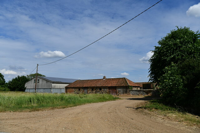
Broadmeadow Plantation, located in Norfolk, is a sprawling wood and forest area that covers a vast expanse of land. It is a haven for nature enthusiasts and provides a picturesque setting for those seeking tranquility amidst the beauty of the natural world.
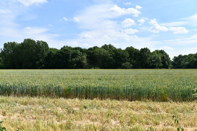
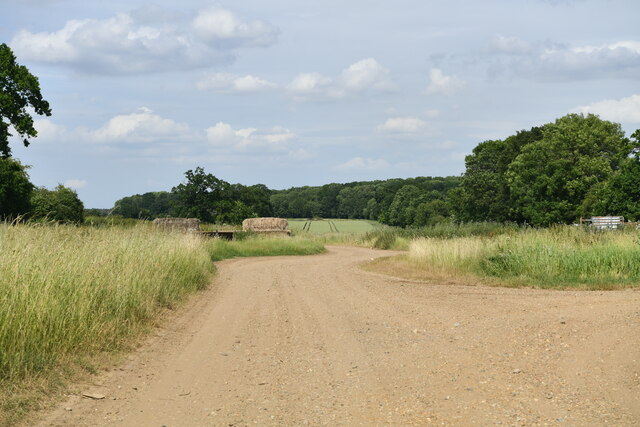
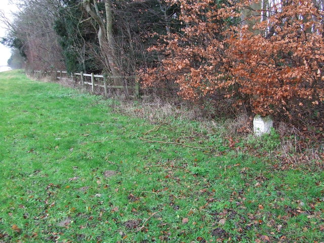
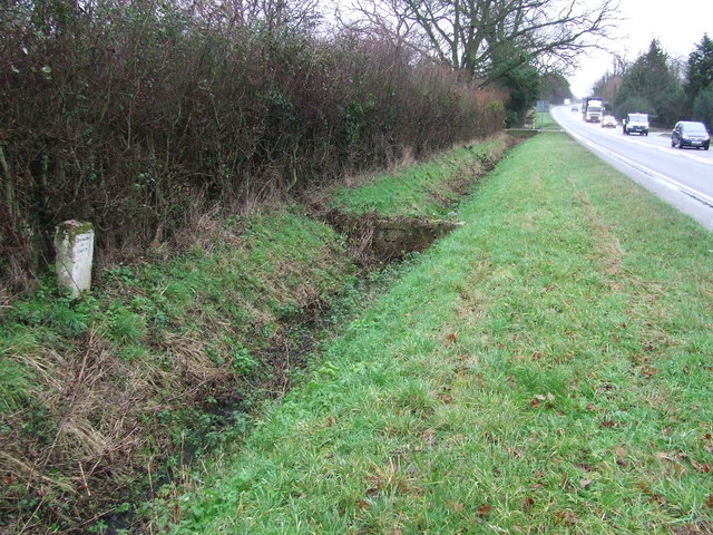
The plantation is characterized by its dense tree cover, composed primarily of deciduous and evergreen species. Tall oak, beech, and pine trees dominate the landscape, creating a lush and vibrant environment. The forest floor is adorned with a rich carpet of ferns, wildflowers, and moss, contributing to the overall enchanting ambiance.
Broadmeadow Plantation is home to a diverse array of wildlife, including various bird species, mammals, and insects. Birdwatchers will be delighted to catch glimpses of woodpeckers, owls, and the occasional rare species that pass through during migration seasons. Squirrels, foxes, and deer are among the mammals that can be spotted in the plantation, adding to the sense of wilderness and natural harmony.
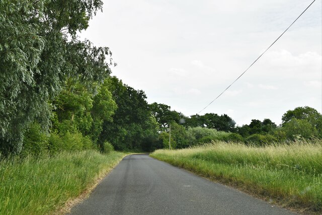
The plantation offers a network of well-maintained walking trails that wind through the woods, allowing visitors to explore the beauty of the area at their own pace. These trails provide opportunities for hiking, jogging, and even cycling, catering to a range of outdoor enthusiasts. Picnic areas and benches are strategically placed along the trails, offering visitors a chance to rest, relax, and soak in the peaceful surroundings.
Broadmeadow Plantation is a true gem in Norfolk, offering a sanctuary for nature lovers and a chance to reconnect with the natural world. Its scenic beauty, diverse wildlife, and well-maintained trails make it a must-visit destination for anyone seeking a serene escape from the hustle and bustle of daily life.
If you have any feedback on the listing, please let us know in the comments section below.
Broadmeadow Plantation Images
Images are sourced within 2km of 52.639102/0.41652347 or Grid Reference TF6307. Thanks to Geograph Open Source API. All images are credited.


Broadmeadow Plantation is located at Grid Ref: TF6307 (Lat: 52.639102, Lng: 0.41652347)
Administrative County: Norfolk
District: King's Lynn and West Norfolk
Police Authority: Norfolk
What 3 Words
///fellow.fulfilled.material. Near Downham Market, Norfolk
Related Wikis

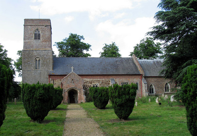
Stow Bardolph
Stow Bardolph, sometimes simply referred to as Stow, is an estate and civil parish in the English county of Norfolk, lying between King's Lynn and Downham...
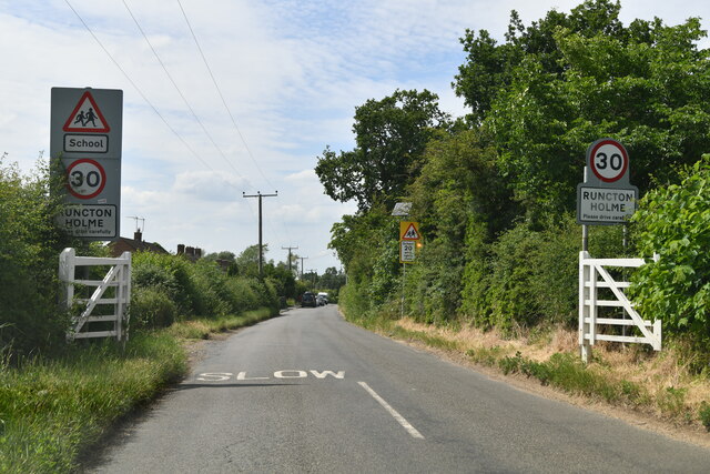
Runcton Holme
Runcton Holme is a village and civil parish in the English county of Norfolk. It covers an area of 13.89 km2 (5.36 sq mi) and had a population of 676 in...

Stowbridge
Stowbridge or Stow Bridge is a village in the parish of Stow Bardolph, extending into Wiggenhall St Mary Magdalen, in the English county of Norfolk. The...

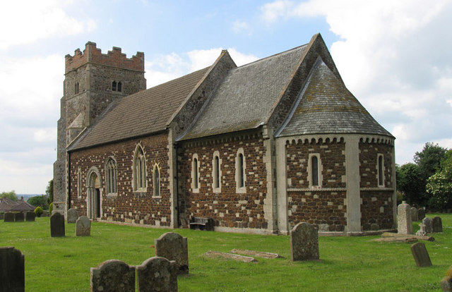
Shouldham Thorpe
Shouldham Thorpe is a village and civil parish in the English county of Norfolk. It covers an area of 5.87 km2 (2.27 sq mi) and had a population of 157...
Wimbotsham
Wimbotsham is a village and civil parish in the English county of Norfolk. It is situated close to the River Great Ouse, 2 km (1.2 mi) north of the town...
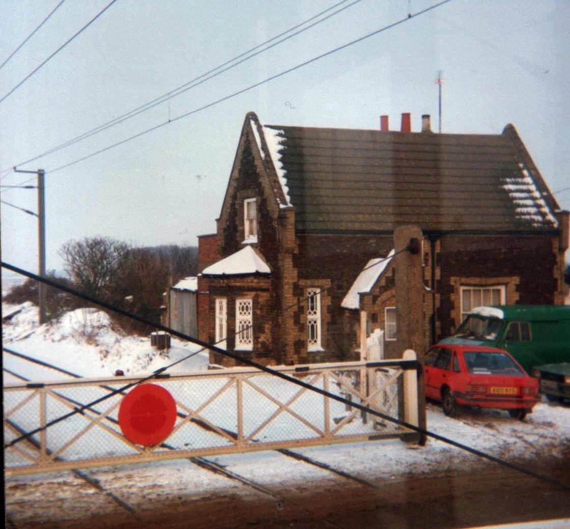
Stow Bardolph railway station
Stow Bardolph railway station, in the parish of Stow Bardolph, Norfolk, served the villages of Stow Bardolph and Stowbridge. It closed in 1963. The Lynn...

Holme railway station (Norfolk)
Holme railway station was located on the line between Stow Bardolph and Watlington in Norfolk, England. It served the parish of Runcton Holme, and closed...

RAF Downham Market
Royal Air Force Downham Market, or more simply RAF Downham Market, was a Royal Air Force station in the west of the county of Norfolk, England which operated...
Nearby Amenities
Located within 500m of 52.639102,0.41652347Have you been to Broadmeadow Plantation?
Leave your review of Broadmeadow Plantation below (or comments, questions and feedback).