Foxhills Covert
Wood, Forest in Norfolk King's Lynn and West Norfolk
England
Foxhills Covert
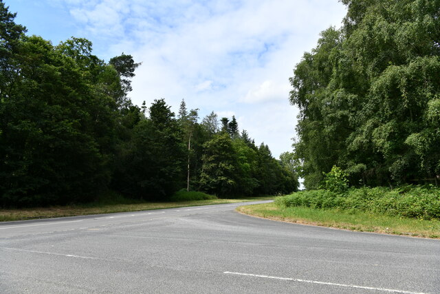
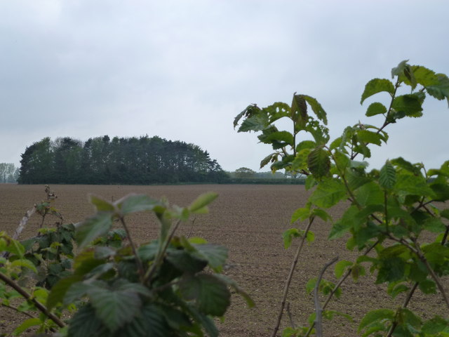
Foxhills Covert is a captivating woodland located in Norfolk, England. Spanning across a vast area, it is a serene and picturesque forest that has become a popular destination for nature lovers and outdoor enthusiasts alike.
The covert is predominantly composed of dense woodland, characterized by a variety of towering trees such as oak, beech, and birch. These majestic trees create a canopy that provides ample shade and shelter for the diverse range of flora and fauna that call this forest home. The forest floor is adorned with a carpet of vibrant wildflowers and ferns, adding a touch of color to the otherwise green landscape.
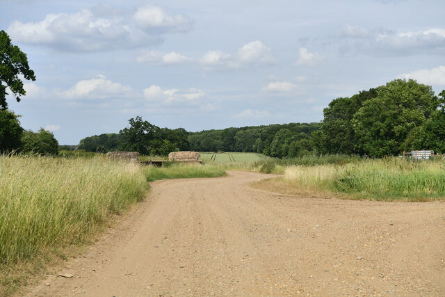
Within Foxhills Covert, there is an intricate network of trails and pathways, allowing visitors to explore the forest at their leisure. These trails wind through the trees, offering glimpses of tranquil ponds, babbling brooks, and small clearings that are perfect for picnics or moments of quiet contemplation.
Wildlife thrives in this natural habitat, and keen-eyed visitors may spot a variety of creatures, such as deer, rabbits, squirrels, and a plethora of bird species. The forest is particularly renowned for its population of red foxes, hence the name "Foxhills Covert."
Throughout the year, the forest undergoes seasonal transformations, each offering its own unique charm. In the spring, the woodland is awash with blossoming flowers and the sweet melodies of birdsong. Summer brings a lush, verdant landscape, while autumn paints the trees in vibrant hues of red, orange, and gold. In winter, the forest takes on a magical quality, with frost-covered branches and a serene stillness that is truly enchanting.
In conclusion, Foxhills Covert is a breathtaking woodland in Norfolk, offering visitors a chance to immerse themselves in the beauty of nature. With its diverse flora and fauna, picturesque trails, and ever-changing scenery, it is a destination that is sure to captivate all who venture within its boundaries.
If you have any feedback on the listing, please let us know in the comments section below.
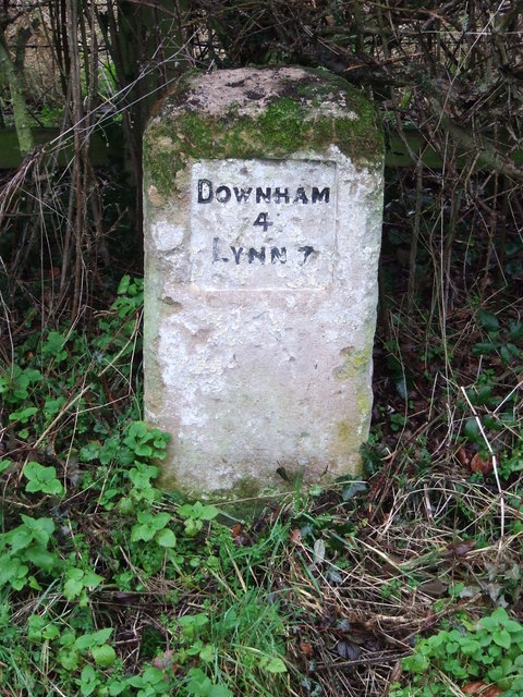
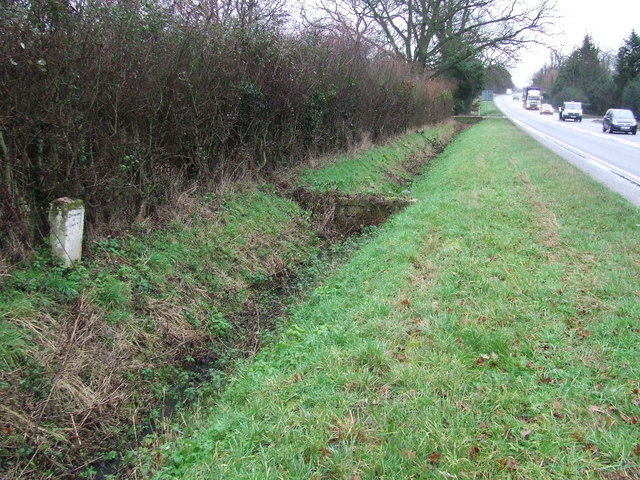
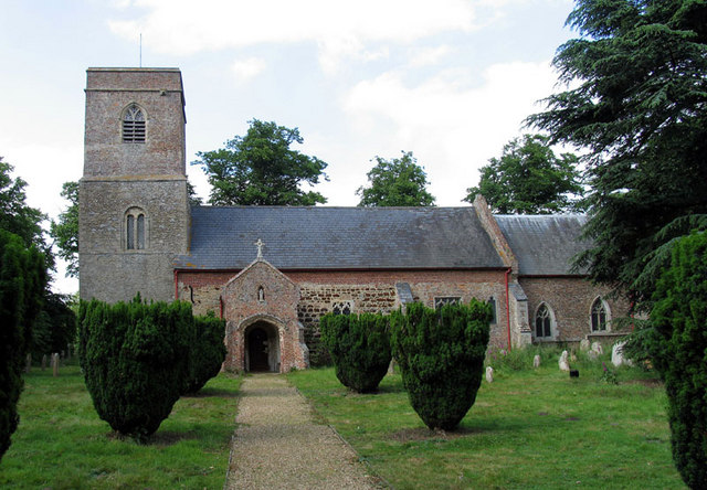
Foxhills Covert Images
Images are sourced within 2km of 52.642209/0.40922989 or Grid Reference TF6307. Thanks to Geograph Open Source API. All images are credited.


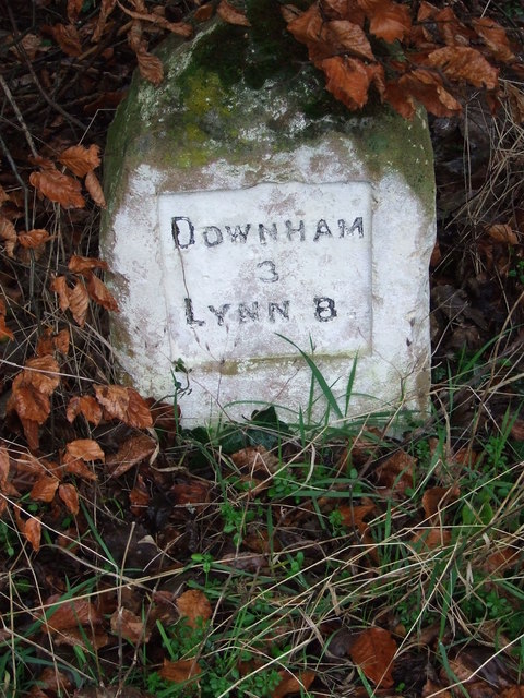
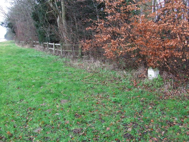


Foxhills Covert is located at Grid Ref: TF6307 (Lat: 52.642209, Lng: 0.40922989)
Administrative County: Norfolk
District: King's Lynn and West Norfolk
Police Authority: Norfolk
What 3 Words
///posts.hardening.stirs. Near Downham Market, Norfolk
Related Wikis
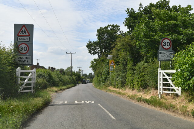
Runcton Holme
Runcton Holme is a village and civil parish in the English county of Norfolk. It covers an area of 13.89 km2 (5.36 sq mi) and had a population of 676 in...

Stow Bardolph
Stow Bardolph, sometimes simply referred to as Stow, is an estate and civil parish in the English county of Norfolk, lying between King's Lynn and Downham...

Stowbridge
Stowbridge or Stow Bridge is a village in the parish of Stow Bardolph, extending into Wiggenhall St Mary Magdalen, in the English county of Norfolk. The...
Stow Bardolph railway station
Stow Bardolph railway station, in the parish of Stow Bardolph, Norfolk, served the villages of Stow Bardolph and Stowbridge. It closed in 1963. The Lynn...

Holme railway station (Norfolk)
Holme railway station was located on the line between Stow Bardolph and Watlington in Norfolk, England. It served the parish of Runcton Holme, and closed...
Wimbotsham
Wimbotsham is a village and civil parish in the English county of Norfolk. It is situated close to the River Great Ouse, 2 km (1.2 mi) north of the town...

Shouldham Thorpe
Shouldham Thorpe is a village and civil parish in the English county of Norfolk. It covers an area of 5.87 km2 (2.27 sq mi) and had a population of 157...
Tottenhill
Tottenhill is a civil parish in the English county of Norfolk. It covers an area of 5.90 km2 (2.28 sq mi) and had a population of 231 in 97 households...
Nearby Amenities
Located within 500m of 52.642209,0.40922989Have you been to Foxhills Covert?
Leave your review of Foxhills Covert below (or comments, questions and feedback).