Brickley Shaw
Wood, Forest in Essex Brentwood
England
Brickley Shaw
Brickley Shaw is a charming village located in the county of Essex, England. Situated in an area known for its lush woodlands and picturesque forests, this village offers a serene and idyllic setting for those seeking a peaceful retreat from the hustle and bustle of city life.
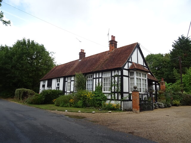
The village of Brickley Shaw is known for its abundance of old, rustic brick houses that give it a distinctive and timeless charm. The architecture in the village showcases a beautiful blend of traditional and modern design, with some buildings dating back several centuries. The village is also home to a small community of friendly and welcoming residents who take great pride in their surroundings.
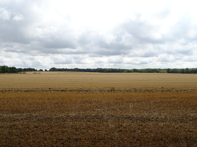
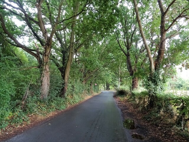
Surrounded by verdant woodlands and dense forests, Brickley Shaw offers plenty of opportunities for outdoor activities and nature exploration. The nearby forests are a haven for hikers and nature enthusiasts, with well-maintained trails that wind through the trees and offer breathtaking views of the surrounding countryside.
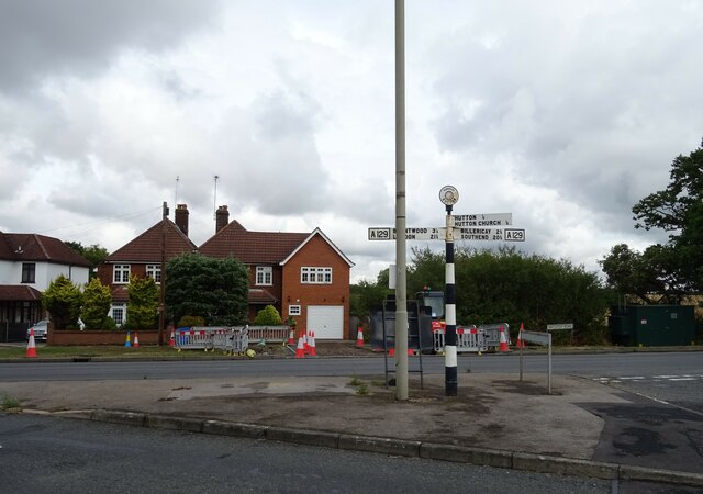
In addition to its natural beauty, Brickley Shaw boasts a range of amenities to cater to the needs of its residents. The village has a local pub, a small convenience store, and a community center that hosts various events and activities throughout the year.
Overall, Brickley Shaw is a hidden gem in the Essex countryside, offering a perfect blend of natural beauty, historical charm, and a close-knit community. Whether you are looking to immerse yourself in nature or simply enjoy the tranquility of village life, Brickley Shaw is sure to captivate and enchant visitors.
If you have any feedback on the listing, please let us know in the comments section below.
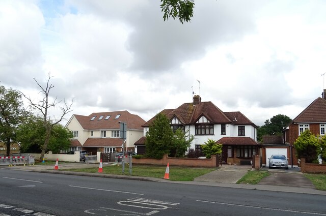
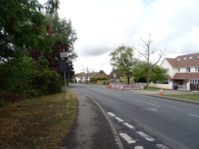
Brickley Shaw Images
Images are sourced within 2km of 51.641171/0.35291221 or Grid Reference TQ6296. Thanks to Geograph Open Source API. All images are credited.


Brickley Shaw is located at Grid Ref: TQ6296 (Lat: 51.641171, Lng: 0.35291221)
Administrative County: Essex
District: Brentwood
Police Authority: Essex
What 3 Words
///third.help.clash. Near Ingatestone, Essex
Nearby Locations
Related Wikis

Hutton Country Park
Hutton Country Park is a 37.4 hectare Local Nature Reserve in Brentwood in Essex. It is owned and managed by Brentwood Borough Council.The River Wid forms...

Heybridge, Brentwood
Heybridge is an urban settlement in Brentwood borough of Essex, England, contiguous with the village of Ingatestone. The main development comprises a mixture...

Mountnessing
Mountnessing is a village and civil parish in the Borough of Brentwood in south Essex, England. It is situated to the north-east of Brentwood, south-west...

Hutton, Essex
Hutton is an area of Brentwood, Essex, England. It has good links to Central London (around 20 miles (32 km) to the south west) via Shenfield train station...
Shenfield High School
Shenfield High School is a coeducational 11-18 secondary school located in Shenfield, Essex, England. It has over 1200 students on roll, including 300...
Mountnessing Windmill
Mountnessing Windmill is a grade II* listed post mill at Mountnessing, Essex, England. Built in 1807, it was most recently restored to working order in...

Shenfield railway station
Shenfield railway station is on the Great Eastern Main Line in the East of England, serving the town of Shenfield, Essex. As well as being a key interchange...
St Martin's School, Brentwood
St Martin's School is a coeducational secondary school and sixth form with academy status, located in the Hutton area of Brentwood, Essex, England. �...
Nearby Amenities
Located within 500m of 51.641171,0.35291221Have you been to Brickley Shaw?
Leave your review of Brickley Shaw below (or comments, questions and feedback).