Arnold's Wood

Wood, Forest in Essex Brentwood

England

Arnold's Wood

Houses on Windy Hill, Brentwood
Houses on Windy Hill, Brentwood Credit: JThomas

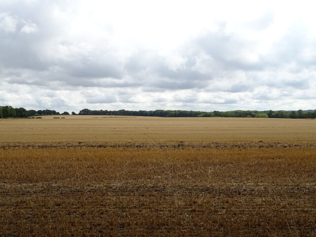
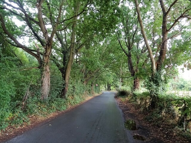
Arnold's Wood is a picturesque forest located in Essex, England. Situated in the heart of the county, the wood spans across a vast area, providing visitors with a serene and tranquil environment to explore. With its rich history and diverse wildlife, Arnold's Wood offers a unique experience for nature enthusiasts and outdoor enthusiasts alike.

The woodland is well-known for its ancient trees, some of which are believed to be over 500 years old. Oak, beech, and birch trees dominate the landscape, creating a dense canopy that blankets the forest floor. This creates a perfect habitat for a wide variety of wildlife, including deer, foxes, and a myriad of bird species.

Visitors to Arnold's Wood can enjoy an extensive network of well-maintained trails that meander through the forest. These paths cater to different levels of hiking abilities, making it accessible to both beginners and experienced hikers. Along these trails, one can discover hidden streams, small ponds, and open clearings, providing opportunities to observe the local flora and fauna.

For those interested in the history of the area, Arnold's Wood has a fascinating past. It is said to have once been part of a larger medieval hunting ground, and remnants of this era can still be found in the form of old stone walls and earthworks. Archaeological discoveries have revealed evidence of human habitation dating back thousands of years, adding to the intrigue and allure of the wood.

Arnold's Wood is a truly remarkable natural gem in Essex, offering visitors a chance to immerse themselves in the beauty and tranquility of the English countryside. Whether it is for a leisurely walk, wildlife spotting, or exploring its historical significance, this woodland is a must-visit destination for nature enthusiasts and history buffs alike.

If you have any feedback on the listing, please let us know in the comments section below.

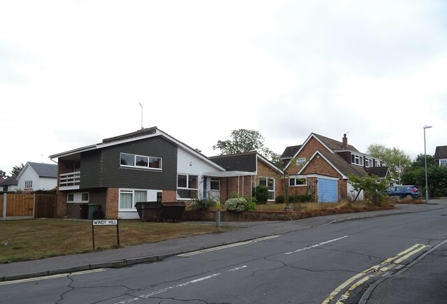
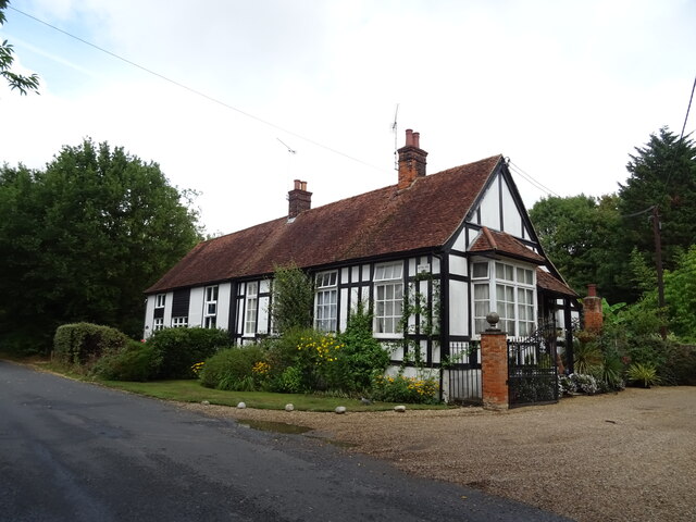
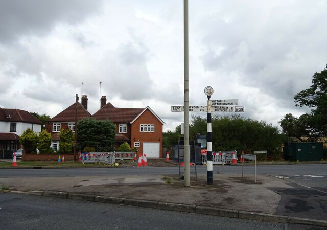
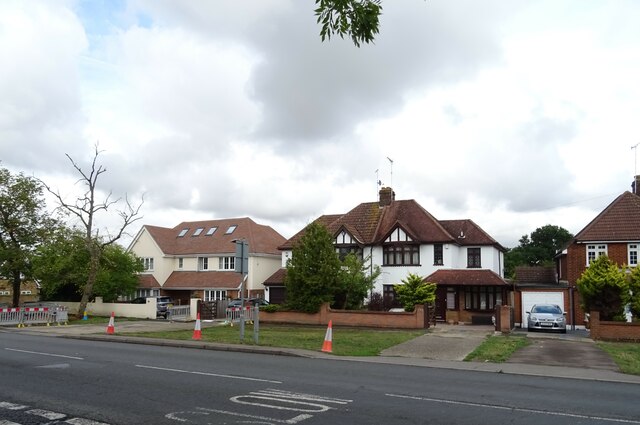
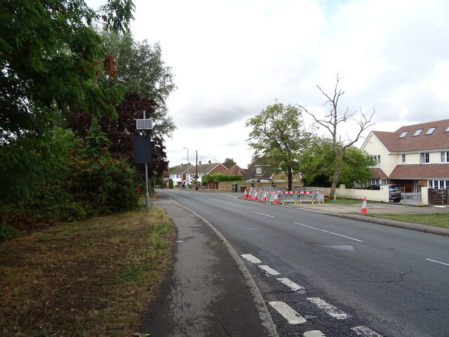
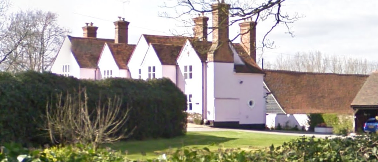
Arnold's Wood Images

Images are sourced within 2km of 51.64087/0.34368972 or Grid Reference TQ6296. Thanks to Geograph Open Source API. All images are credited.

Houses on Windy Hill, Brentwood
Hanging Hill Lane, Brentwood Looking north.
Hanging Hill Lane, Brentwood
Looking north.
Stubble field south of Hall Green Lane
Hall Green Lane Looking east towards junction.
Hall Green Lane
Looking east towards junction.
Hutton Hall Lodge, Hutton Village
Fingerpost, Hutton Village
Houses on Rayleigh Road, Hutton
Rayleigh Road, Hutton
Shenfield Railway Station On the Great Eastern main line.
Shenfield Railway Station
On the Great Eastern main line.
Shenfield Railway Station On the Great Eastern main line.
Shenfield Railway Station
On the Great Eastern main line.
Shenfield Railway Station Great Eastern main line towards Colchester.
Shenfield Railway Station
Great Eastern main line towards Colchester.
Shenfield Railway Station Great Eastern main line towards London Liverpool Street.
Shenfield Railway Station
Great Eastern main line towards London Liverpool Street.
Shenfield Railway Station Great Eastern main line towards London Liverpool Street.
Shenfield Railway Station
Great Eastern main line towards London Liverpool Street.
Shenfield Railway Station Elizabeth Line Class 345 Aventra, No 345038. Train for London Liverpool Street.
Seventy nine-car trains Class 345 trains have been manufactured for use on the Elizabeth Line at a cost of over £1 billion, with each train able to carry 1,500 passengers.
Shenfield Railway Station
Elizabeth Line Class 345 Aventra, No 345038. Train for London Liverpool Street. Seventy nine-car trains Class 345 trains have been manufactured for use on the Elizabeth Line at a cost of over £1 billion, with each train able to carry 1,500 passengers.
Shenfield Railway Station Greater Anglia Class 720, No. 720506 departing for London Liverpool Street.
Shenfield Railway Station
Greater Anglia Class 720, No. 720506 departing for London Liverpool Street.
Platforms 1 and 2, Shenfield Railway Station Great Eastern main line towards London Liverpool Street.
Platforms 1 and 2, Shenfield Railway Station
Great Eastern main line towards London Liverpool Street.
Shenfield Railway Station
Platform 2, Shenfield Railway Station
Show me another place!

Arnold's Wood is located at Grid Ref: TQ6296 (Lat: 51.64087, Lng: 0.34368972)

Administrative County: Essex

District: Brentwood

Police Authority: Essex

What 3 Words

///bolt.signal.mugs. Near Brentwood, Essex

Related Wikis

Mountnessing

Mountnessing is a village and civil parish in the Borough of Brentwood in south Essex, England. It is situated to the north-east of Brentwood, south-west...

Shenfield High School

Shenfield High School is a coeducational 11-18 secondary school located in Shenfield, Essex, England. It has over 1200 students on roll, including 300...

Heybridge, Brentwood

Heybridge is an urban settlement in Brentwood borough of Essex, England, contiguous with the village of Ingatestone. The main development comprises a mixture...

Hutton Country Park

Hutton Country Park is a 37.4 hectare Local Nature Reserve in Brentwood in Essex. It is owned and managed by Brentwood Borough Council.The River Wid forms...

Shenfield railway station

Shenfield railway station is on the Great Eastern Main Line in the East of England, serving the town of Shenfield, Essex. As well as being a key interchange...

Hutton, Essex

Hutton is an area of Brentwood, Essex, England. It has good links to Central London (around 20 miles (32 km) to the south west) via Shenfield train station...

Mountnessing Windmill

Mountnessing Windmill is a grade II* listed post mill at Mountnessing, Essex, England. Built in 1807, it was most recently restored to working order in...

Shenfield Hall

Shenfield Hall is a Grade II listed medieval building in the Essex town of Shenfield, England. == History == Shenfield Hall dates back to the 16th and...

Nearby Amenities

Located within 500m of 51.64087,0.34368972
Created By: YahooApplet 1.0
Lat/Long: 51.6435176/0.3393915
Created By: YahooApplet 1.0
Lat/Long: 51.6434909/0.3380397
Created By: YahooApplet 1.0
Lat/Long: 51.6367592/0.345861
Bus Stop
McDonalds
Naptan AtcoCode: 150037004001
Naptan Bearing: SW
Naptan CommonName: McDonalds
Naptan Crossing: Mountnessing Bypass
Naptan Indicator: SW-bound
Naptan Landmark: McDonalds
Naptan NaptanCode: esxgagpt
Naptan PlusbusZoneRef: BRTWOOD
Naptan Street: Chelmsford Road
Naptan Verified: no
Public Transport: platform
Source: naptan_import
Lat/Long: 51.6452613/0.344028
Bus Stop
McDonalds
Naptan AtcoCode: 150037004002
Naptan Bearing: NE
Naptan CommonName: McDonalds
Naptan Crossing: Mountnessing Bypass
Naptan Indicator: NE-bound
Naptan Landmark: McDonalds
Naptan NaptanCode: esxgagpw
Naptan PlusbusZoneRef: BRTWOOD
Naptan Street: Chelmsford Road
Naptan Verified: no
Public Transport: platform
Source: naptan_import
Lat/Long: 51.6446265/0.3429331
Bus Stop
Fen Close
Naptan AtcoCode: 150037004003
Naptan Bearing: E
Naptan CommonName: Fen Close
Naptan Indicator: Adj
Naptan Landmark: Fen Close
Naptan NaptanCode: esxgagta
Naptan PlusbusZoneRef: BRTWOOD
Naptan Street: Chelmsford Road
Naptan Verified: no
Public Transport: platform
Source: naptan_import
Lat/Long: 51.6436692/0.3404263
Bus Stop
Walton Gardens
Bus: yes
Naptan AtcoCode: 150037020009
Naptan Bearing: NE
Naptan CommonName: Walton Gardens
Naptan Indicator: Adj
Naptan Landmark: Walton Gardens
Naptan NaptanCode: esxgagmw
Naptan PlusbusZoneRef: BRTWOOD
Naptan Street: Long Ridings Avenue
Naptan Verified: no
Public Transport: platform
Source: naptan_import
Lat/Long: 51.637111/0.3413462
Bus Stop
Arnold Avenue
Naptan AtcoCode: 1500IM1369
Naptan Bearing: SW
Naptan CommonName: Arnold Avenue
Naptan Crossing: Arnold Avenue
Naptan Indicator: Adj
Naptan Landmark: Arnold Avenue
Naptan NaptanCode: esxgawdg
Naptan PlusbusZoneRef: BRTWOOD
Naptan Street: Woodland Avenue
Naptan Verified: no
Public Transport: platform
Source: naptan_import
Lat/Long: 51.6375312/0.3460649
Bus Stop
Arnold Avenue
Naptan AtcoCode: 1500IM1369B
Naptan Bearing: NE
Naptan CommonName: Arnold Avenue
Naptan Crossing: Arnold Avenue
Naptan Indicator: Opp
Naptan Landmark: Arnold Avenue
Naptan NaptanCode: esxgagmt
Naptan PlusbusZoneRef: BRTWOOD
Naptan Street: Woodland Avenue
Naptan Verified: no
Public Transport: platform
Source: naptan_import
Lat/Long: 51.6378507/0.3467317
Mountnessing Junction
Railway: junction
Lat/Long: 51.6402095/0.3504577
Bus Stop
Fen Close
Naptan AtcoCode: 1500370040Y3
Naptan NaptanCode: esxjmpat
Naptan Verified: no
Public Transport: platform
Source: naptan
Lat/Long: 51.6435662/0.3402586
Shenfield Junction
Railway: junction
Lat/Long: 51.6381025/0.3393172
Traffic Calming: cushion
Lat/Long: 51.6369845/0.3411402
Post Box
Lat/Long: 51.6375879/0.3459579
Waste Basket
Lat/Long: 51.6375955/0.3460126
The data included in this document is from www.openstreetmap.org. The data is made available under ODbL.

Have you been to Arnold's Wood?

Leave your review of Arnold's Wood below (or comments, questions and feedback).