Leys Wood

Wood, Forest in Cambridgeshire South Cambridgeshire

England

Leys Wood

West Wickham: a stinkpipe half hidden in a tree The coronet cap of a green-painted cast-iron sewer vent pokes out of the top of the small tree on the left and its ribbed base can just about be made out in the shadows below. The photo was taken on the bend in High Street next to the church gate. A bright day in winter would be a better time to take a picture than this cloudy one in full-leafed June was.
West Wickham: a stinkpipe half hidden in a tree Credit: John Sutton

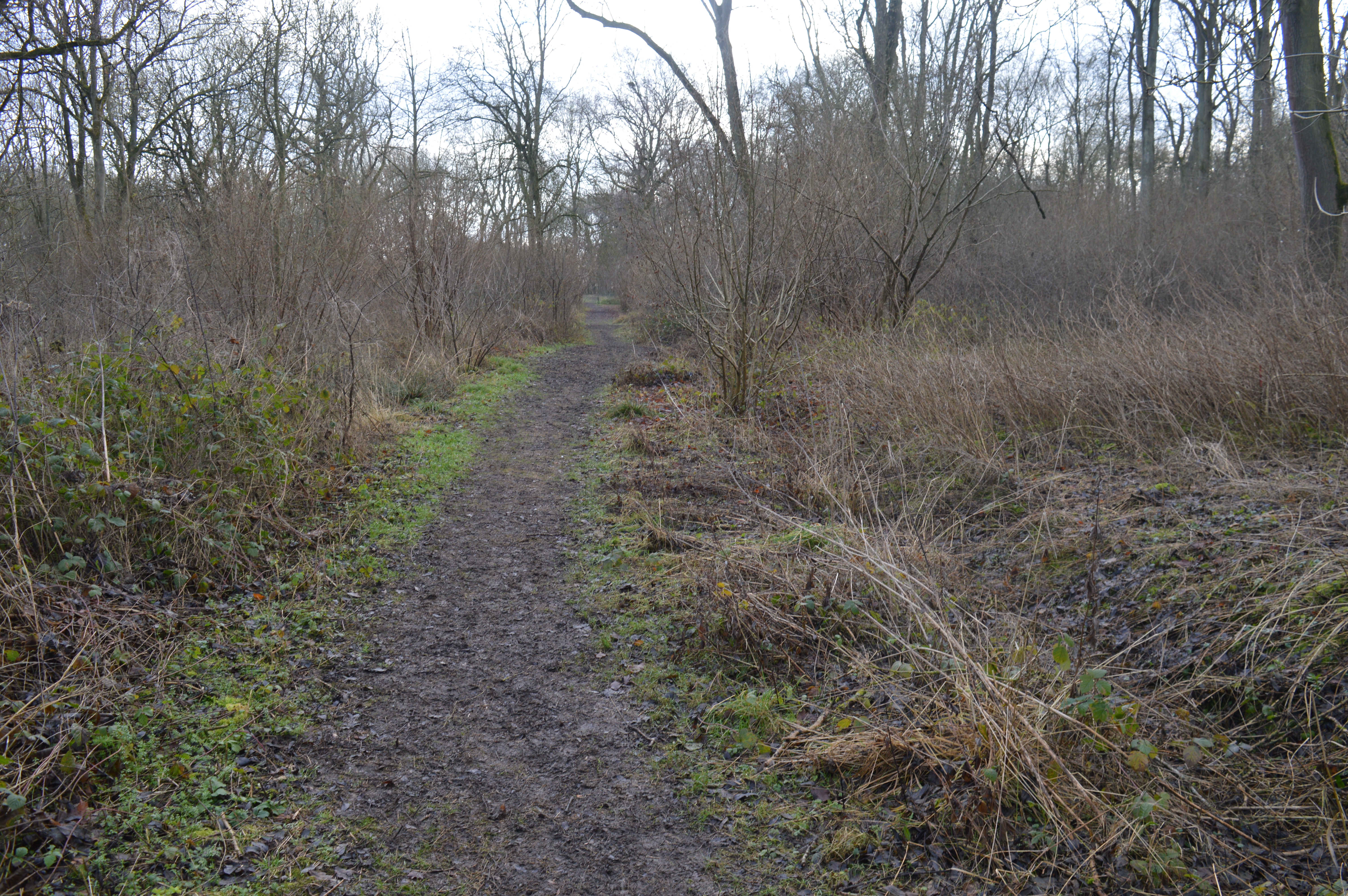
Leys Wood is a picturesque woodland located in Cambridgeshire, England. Covering an area of approximately 100 acres, it is a popular destination for nature enthusiasts and hikers alike. The wood is known for its diverse range of flora and fauna, making it a haven for wildlife.

The wood is primarily composed of deciduous trees, including oak, beech, and ash, which create a stunning canopy during the summer months. These trees provide shelter and nesting sites for various bird species, such as woodpeckers, thrushes, and owls. Additionally, the woodland floor is carpeted with bluebells and other wildflowers during spring, adding a burst of color to the landscape.

Several well-maintained footpaths wind their way through the woods, allowing visitors to explore the area at their own pace. There are also designated picnic areas and benches for those wishing to take a break and admire the tranquil surroundings.

Leys Wood is managed by a local conservation organization, ensuring that the wood is preserved and protected for future generations. The organization actively promotes sustainable practices, including controlled tree felling and the planting of new saplings.

Overall, Leys Wood offers a serene and enchanting escape from the hustle and bustle of everyday life. Whether you are a nature lover, a keen hiker, or simply seeking a peaceful retreat, this woodland provides a delightful experience for all who venture within its boundaries.

If you have any feedback on the listing, please let us know in the comments section below.
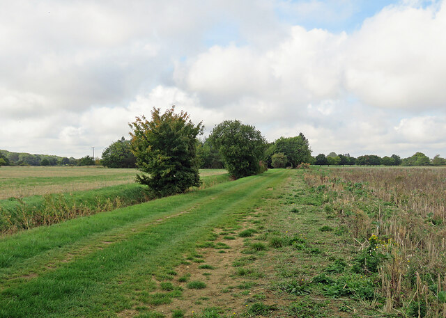
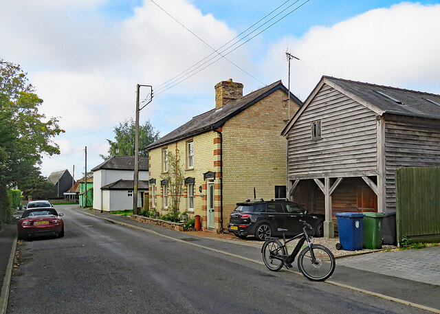
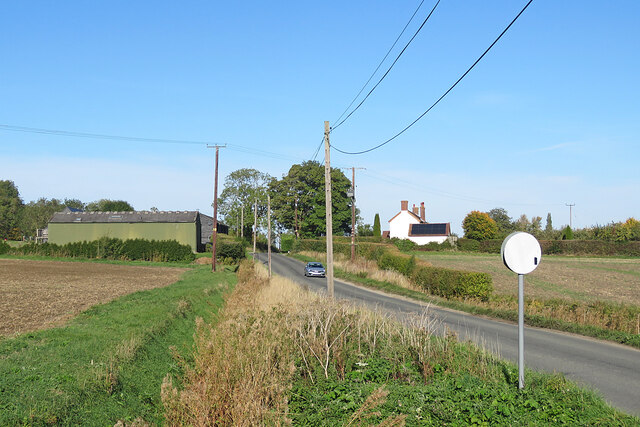
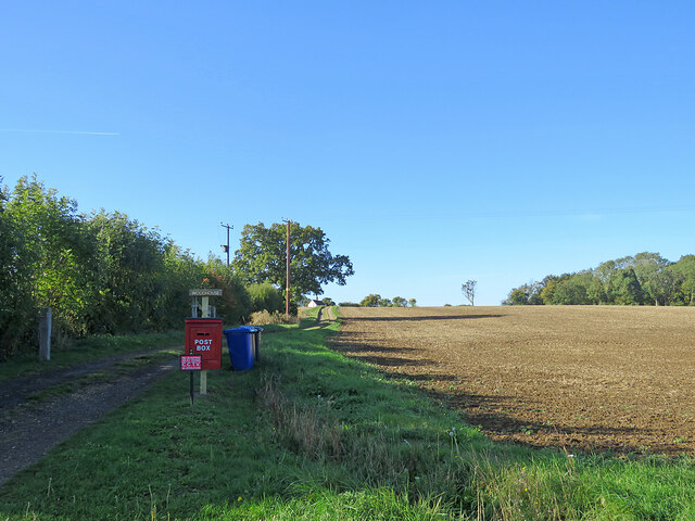
Leys Wood Images

Images are sourced within 2km of 52.116445/0.37526415 or Grid Reference TL6249. Thanks to Geograph Open Source API. All images are credited.

West Wickham: a stinkpipe half hidden in a tree The coronet cap of a green-painted cast-iron sewer vent pokes out of the top of the small tree on the left and its ribbed base can just about be made out in the shadows below. The photo was taken on the bend in High Street next to the church gate. A bright day in winter would be a better time to take a picture than this cloudy one in full-leafed June was.
West Wickham: a stinkpipe half hidden in a tree
The coronet cap of a green-painted cast-iron sewer vent pokes out of the top of the small tree on the left and its ribbed base can just about be made out in the shadows below. The photo was taken on the bend in High Street next to the church gate. A bright day in winter would be a better time to take a picture than this cloudy one in full-leafed June was.
West Wickham: St Mary The parish church is screened from the road by fine lime trees. Much of the fabric dates from the 14th century. Restoration work was going on inside on this cloudy summer morning and some renewal of the chancel was already complete. "Chancel: c 1320. Three restored windows of clunch, of two cinquefoil lights with reticulated tracery in two-centred arches. East window of similar period, restored" (from the grade Grade II* listing). The chancel walls lean outwards, restrained by substantial diagonal buttresses.
West Wickham: St Mary
The parish church is screened from the road by fine lime trees. Much of the fabric dates from the 14th century. Restoration work was going on inside on this cloudy summer morning and some renewal of the chancel was already complete. "Chancel: c 1320. Three restored windows of clunch, of two cinquefoil lights with reticulated tracery in two-centred arches. East window of similar period, restored" (from the grade Grade II* listing). The chancel walls lean outwards, restrained by substantial diagonal buttresses.
West Wickham: St Mary - from the west The flint fabric of the church dates mostly from the 14th century. "West tower of four stages, with blocked parapet and three-stage diagonally-set buttressing. Restored reticulated tracery to west window" (from the Grade II* listing text).
West Wickham: St Mary - from the west
The flint fabric of the church dates mostly from the 14th century. "West tower of four stages, with blocked parapet and three-stage diagonally-set buttressing. Restored reticulated tracery to west window" (from the Grade II* listing text).
Trig point, bike and furniture store This picture taken from a field corner shows a bike parked on the path from Burton End to Weston Woods Farm and, in the background, Home Brands, which is based in one of the hangars of RAF Wratting Common, a Bomber Command Station during the Second World War. For more about RAF Wratting, see <span class="nowrap"><a title="http://www.wcnhistory.org.uk/overview.html" rel="nofollow ugc noopener" href="http://www.wcnhistory.org.uk/overview.html">Link</a><img style="margin-left:2px;" alt="External link" title="External link - shift click to open in new window" src="https://s1.geograph.org.uk/img/external.png" width="10" height="10"/></span> .
Trig point, bike and furniture store
This picture taken from a field corner shows a bike parked on the path from Burton End to Weston Woods Farm and, in the background, Home Brands, which is based in one of the hangars of RAF Wratting Common, a Bomber Command Station during the Second World War. For more about RAF Wratting, see LinkExternal link .
Path to Brickyard Cottages This grassy path, gravelled at the other end, leads from Skippers Lane to Burton End. The cottages are hidden by the trees in the centre of the picture.
Path to Brickyard Cottages
This grassy path, gravelled at the other end, leads from Skippers Lane to Burton End. The cottages are hidden by the trees in the centre of the picture.
Stinkpipe and gable end at Burton End Burton End is the eastern part of West Wickham, and this house is at the eastern edge of the village. A slender cast-iron sewer vent pipe pokes above the hedgerow trees on the left. It is the same rather delicate type found in some other Cambridgeshire villages - and at the other end of West Wickham (see <a href="https://www.geograph.org.uk/photo/7214313">TL6149 : West Wickham: a stinkpipe half hidden in a tree</a>).
Stinkpipe and gable end at Burton End
Burton End is the eastern part of West Wickham, and this house is at the eastern edge of the village. A slender cast-iron sewer vent pipe pokes above the hedgerow trees on the left. It is the same rather delicate type found in some other Cambridgeshire villages - and at the other end of West Wickham (see TL6149 : West Wickham: a stinkpipe half hidden in a tree).
West Wickham: scaffolding at Burton End The Grade II listing begins "Row of cottages, now one. C17 origin much altered and remodelled in mid C19. Timber-framed, rendered and long straw thatch roof at two ridge and eaves levels. End and ridge stacks."
West Wickham: scaffolding at Burton End
The Grade II listing begins "Row of cottages, now one. C17 origin much altered and remodelled in mid C19. Timber-framed, rendered and long straw thatch roof at two ridge and eaves levels. End and ridge stacks."
West Wickham: Vicarage Cottage, Burton End The pink timber-framed cottage is Grade II listed and dates from the 18th century.
West Wickham: Vicarage Cottage, Burton End
The pink timber-framed cottage is Grade II listed and dates from the 18th century.
West Wickham High Street Council-built houses on the long main street.
West Wickham High Street
Council-built houses on the long main street.
West Wickham: the south end of High Street Near the junction with the Horseheath to Balsham road.
West Wickham: the south end of High Street
Near the junction with the Horseheath to Balsham road.
Skipper's Lane near Lawn Farm A bright morning in mid October.
Skipper's Lane near Lawn Farm
A bright morning in mid October.
Path, postbox and a cloudless sky The postbox serves Woodhouse, glimpsed on the skyline beyond the tree to the left of centre. The lane to the house is shared by a public footpath to Horseheath Road.
Path, postbox and a cloudless sky
The postbox serves Woodhouse, glimpsed on the skyline beyond the tree to the left of centre. The lane to the house is shared by a public footpath to Horseheath Road.
Lawn Farm On the crest of a rise on the gently undulating road from Withersfield to West Wratting.
Lawn Farm
On the crest of a rise on the gently undulating road from Withersfield to West Wratting.
Barns at Exhibition Farm On the road from Withersfield to West Wratting (ahead).
Barns at Exhibition Farm
On the road from Withersfield to West Wratting (ahead).
Harrowing near Exhibition Farm The tractor is heading towards the corner of a huge field, near Exhibition Cottages.
Harrowing near Exhibition Farm
The tractor is heading towards the corner of a huge field, near Exhibition Cottages.
Towards Exhibition Cottages Looking north-west from Exhibition Farm on a sunny October morning.
Towards Exhibition Cottages
Looking north-west from Exhibition Farm on a sunny October morning.
Towards Lawn Wood The view from Skipper's Lane on a bright October morning.
Towards Lawn Wood
The view from Skipper's Lane on a bright October morning.
Autumn cultivation The farm track is shared by a public footpath, part of a dense network in this part of Cambridgeshire.
Autumn cultivation
The farm track is shared by a public footpath, part of a dense network in this part of Cambridgeshire.
Show me another place!

Leys Wood is located at Grid Ref: TL6249 (Lat: 52.116445, Lng: 0.37526415)

Administrative County: Cambridgeshire

District: South Cambridgeshire

Police Authority: Cambridgeshire

What 3 Words

///surfaces.booms.repeats. Near Balsham, Cambridgeshire

Nearby Locations

Burton End Leys Wood

Related Wikis

Over and Lawn Woods

Over and Lawn Woods is a 43.3-hectare (107-acre) biological Site of Special Scientific Interest north-west of Haverhill in Suffolk. It is listed by Natural...

West Wickham, Cambridgeshire

West Wickham is a village and civil parish in South Cambridgeshire, England, 10 miles south-east of Cambridge on the border with Suffolk. == History... ==

RAF Wratting Common

Royal Air Force Wratting Common, or more simply RAF Wratting Common, is a former Royal Air Force substation located near Newmarket, Suffolk, UK. ��2�...

Horseheath

Horseheath is a village in Cambridgeshire, England, situated a few miles south-east of Cambridge, between Linton and Haverhill, on the A1307 road. It was...
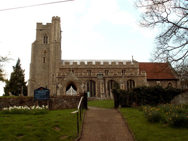
Withersfield

Withersfield is a village and civil parish in the West Suffolk district of Suffolk in eastern England. In 2011 its population was 450. It has a public...

Lower Wood

Lower Wood is a 9 hectare nature reserve east of Weston Colville in Cambridgeshire. It is managed by the Wildlife Trust for Bedfordshire, Cambridgeshire...

West Wratting

West Wratting is a village and civil parish 10 miles southeast of Cambridge in Cambridgeshire. At 390 feet (120 m) above sea level, it can claim to be...

Balsham

Balsham is a rural village and civil parish in the county of Cambridgeshire, England, which has much expanded since the 1960s and is now one of several...

Nearby Amenities

Located within 500m of 52.116445,0.37526415
The data included in this document is from www.openstreetmap.org. The data is made available under ODbL.

Have you been to Leys Wood?

Leave your review of Leys Wood below (or comments, questions and feedback).