Horse Pastures

Wood, Forest in Cambridgeshire South Cambridgeshire

England

Horse Pastures

West Wratting: cottages outside the village These cottages are a way from the village, on the road from Haverhill and Withersfield to Six Mile Bottom (ahead).
West Wratting: cottages outside the village Credit: John Sutton

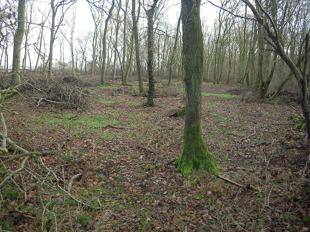
Horse Pastures, Cambridgeshire, also known as Wood or Forest, is a picturesque area located in the eastern part of England. Spanning approximately 200 acres, it is a haven for horse enthusiasts and nature lovers alike. The landscape is characterized by lush green meadows, thriving woodlands, and gentle rolling hills, providing a serene and tranquil environment.

The pastures are home to a diverse range of horse breeds, with well-maintained stables and paddocks ensuring the comfort and safety of the animals. Horse owners and riders can enjoy miles of well-marked trails, allowing for leisurely rides or more challenging excursions. The trails wind through the enchanting woodlands, offering breathtaking views and a sense of connection with nature.

The Wood or Forest area is not only a haven for horses but also teems with a rich variety of wildlife. Visitors may spot deer, rabbits, foxes, and a myriad of bird species, making it an ideal place for birdwatching and wildlife photography.

The management of Horse Pastures, Cambridgeshire, takes great pride in preserving the natural beauty of the area. Regular maintenance of the trails and pastures ensures a safe and enjoyable experience for both horses and riders. Additionally, the management emphasizes environmental sustainability, implementing eco-friendly practices to minimize the impact on the ecosystem.

Horse Pastures, Cambridgeshire, offers a unique opportunity to escape the hustle and bustle of city life and immerse oneself in the beauty of the English countryside. Whether one is a horse lover, nature enthusiast, or simply seeking a peaceful retreat, this idyllic location has something to offer for everyone.

If you have any feedback on the listing, please let us know in the comments section below.

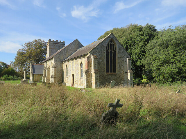
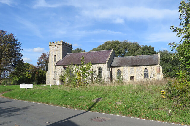
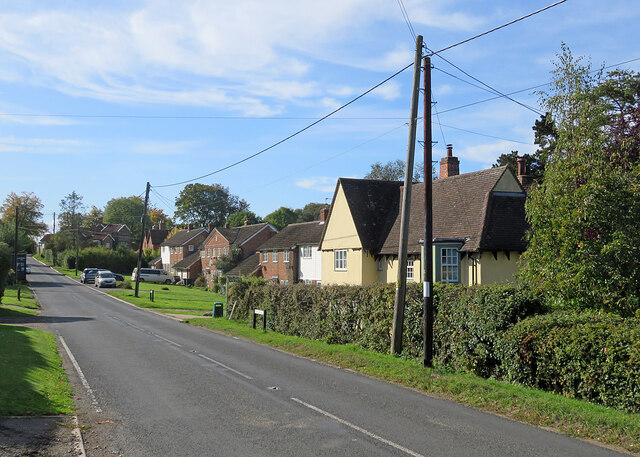
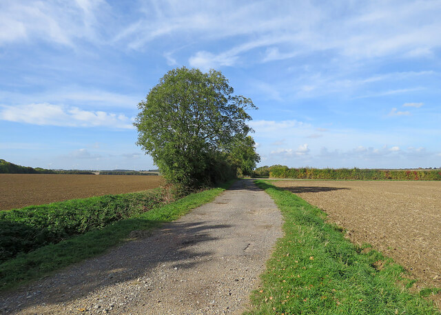
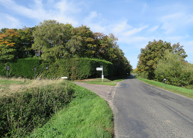
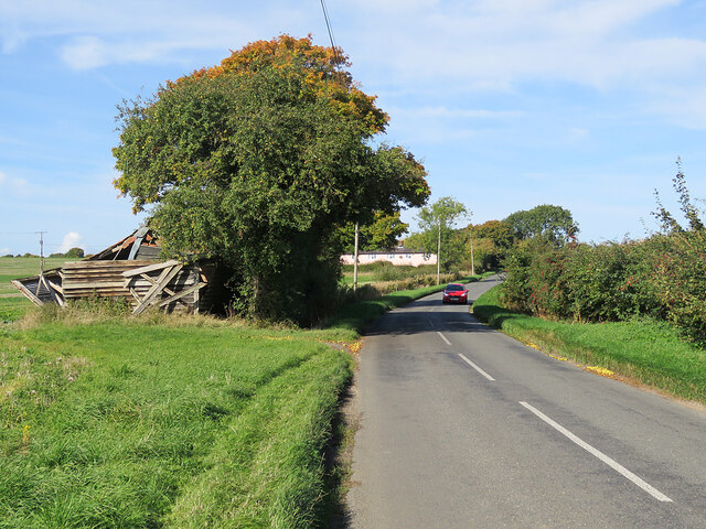
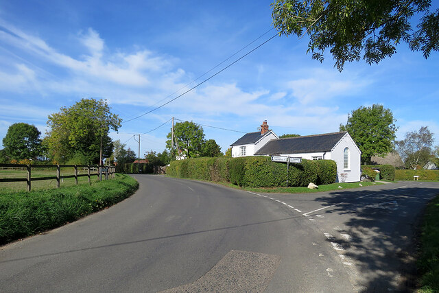
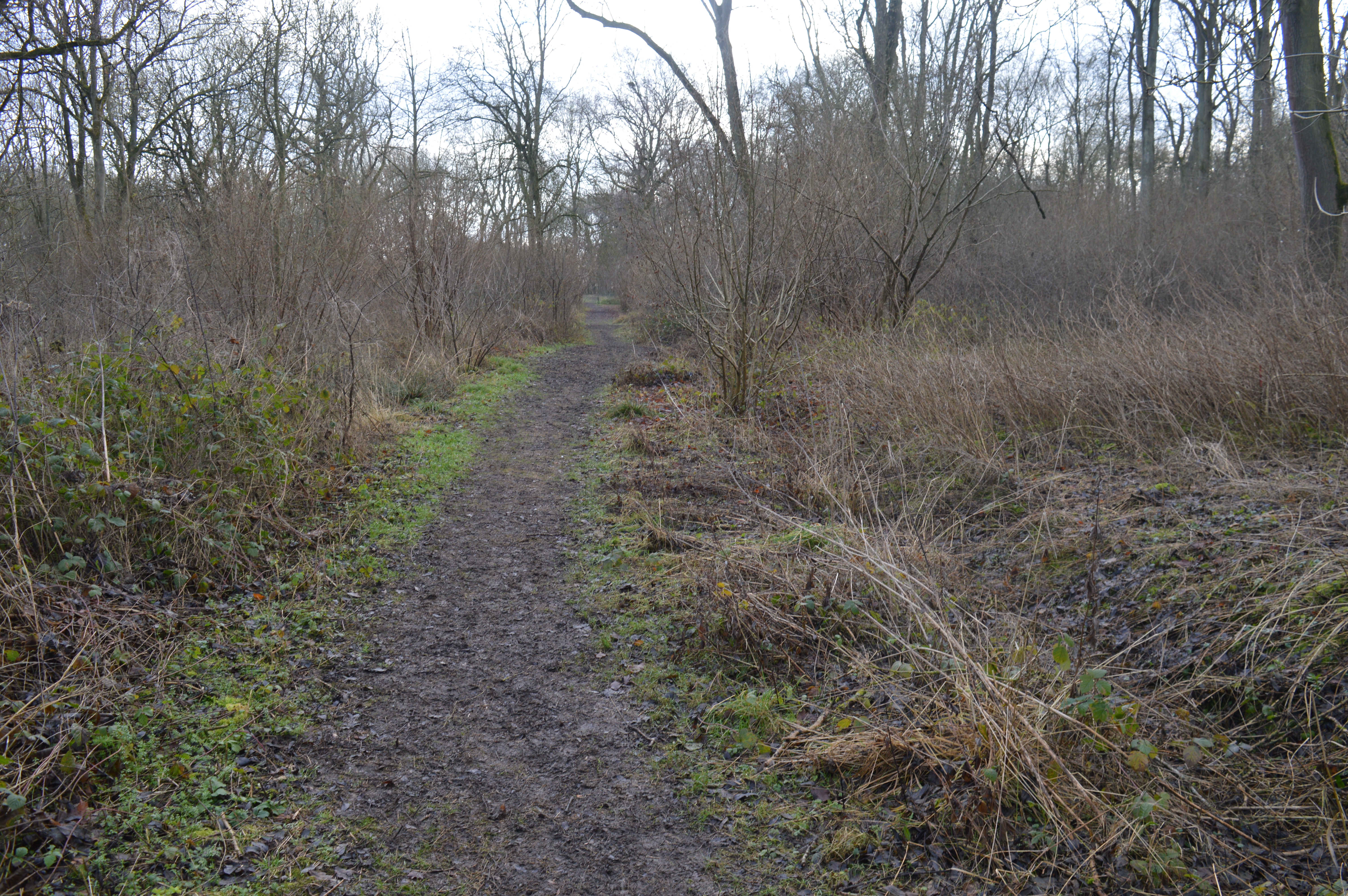
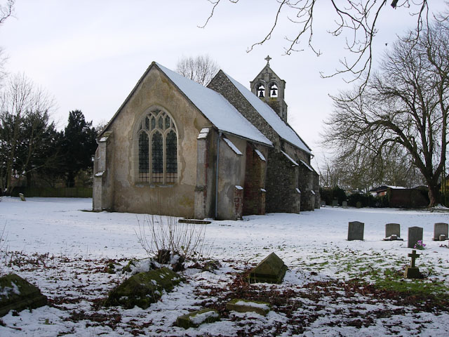
Horse Pastures Images

Images are sourced within 2km of 52.151863/0.37448884 or Grid Reference TL6253. Thanks to Geograph Open Source API. All images are credited.

West Wratting: cottages outside the village These cottages are a way from the village, on the road from Haverhill and Withersfield to Six Mile Bottom (ahead).
West Wratting: cottages outside the village
These cottages are a way from the village, on the road from Haverhill and Withersfield to Six Mile Bottom (ahead).
On the road to West Wratting The red speck among the trees, to the left of centre, is a chimney stack of Parys Manor, a timber-framed house set behind trees and high hedges.
On the road to West Wratting
The red speck among the trees, to the left of centre, is a chimney stack of Parys Manor, a timber-framed house set behind trees and high hedges.
On Six Mile Bottom Road The road from Weston Colville to Lark Hall and Six Mile Bottom (ahead), photographed on a fine October morning.
On Six Mile Bottom Road
The road from Weston Colville to Lark Hall and Six Mile Bottom (ahead), photographed on a fine October morning.
Weston Colville: St Mary - from the east "About 1825 much was rebuilt, especially tower and chancel. The building is characterised by the rare effect of flint in a kind of grey brick framing" (Nikolaus Pevsner).
Weston Colville: St Mary - from the east
"About 1825 much was rebuilt, especially tower and chancel. The building is characterised by the rare effect of flint in a kind of grey brick framing" (Nikolaus Pevsner).
Weston Colville: St Mary - south side from Church End "About 1825 much was rebuilt, especially tower and chancel. The building is characterised by the rare effect of flint in a kind of grey brick framing" (Nikolaus Pevsner).
Weston Colville: St Mary - south side from Church End
"About 1825 much was rebuilt, especially tower and chancel. The building is characterised by the rare effect of flint in a kind of grey brick framing" (Nikolaus Pevsner).
Weston Colville: houses on Brinkley Road A fine October morning.
Weston Colville: houses on Brinkley Road
A fine October morning.
Bridleway to Grange Road The start of a track which ends at the road from Weston Colville to Dullingham, a mile and a half away.
Bridleway to Grange Road
The start of a track which ends at the road from Weston Colville to Dullingham, a mile and a half away.
Towards Weston Colville on Brinkley Road This is the winding B1052, between Willingham Green and Weston Colville, photographed on a bright October morning.
Towards Weston Colville on Brinkley Road
This is the winding B1052, between Willingham Green and Weston Colville, photographed on a bright October morning.
Cottages at Willingham Green A hamlet between Weston Colville and Brinkley (ahead) in the gentle hills of East Cambridgeshire.
Cottages at Willingham Green
A hamlet between Weston Colville and Brinkley (ahead) in the gentle hills of East Cambridgeshire.
Willingham Green Road This is a hamlet in East Cambridgeshire. The road leads to Carlton and on into Suffolk.
Willingham Green Road
This is a hamlet in East Cambridgeshire. The road leads to Carlton and on into Suffolk.
The start of a footpath at Willingham Green This is part of a complex network of footpaths linking Carlton, Brinkley and Weston Green.
The start of a footpath at Willingham Green
This is part of a complex network of footpaths linking Carlton, Brinkley and Weston Green.
Turn left for Willingham Green A turn off the road from Carlton to Brinkley (ahead), photographed on a sunny morning in early autumn.
Turn left for Willingham Green
A turn off the road from Carlton to Brinkley (ahead), photographed on a sunny morning in early autumn.
Collapsed shed, fallen apples, pink cottages and a red car Near Raynor's Bridge on the undulating road from Carlton to Brinkley (ahead). The pink row is Little Low Cottages.

Keith Edkins was here in 2018: <a href="https://www.geograph.org.uk/photo/5922622">TL6353 : Old shed at Raynor Bridge</a>.
Collapsed shed, fallen apples, pink cottages and a red car
Near Raynor's Bridge on the undulating road from Carlton to Brinkley (ahead). The pink row is Little Low Cottages. Keith Edkins was here in 2018: TL6353 : Old shed at Raynor Bridge.
Carlton: a cottage on Brinkley Road In the valley of the River Stour, which rises on nearby Wratting Common. The original parts of the Grade II listed cottage were built in the 18th century.
Carlton: a cottage on Brinkley Road
In the valley of the River Stour, which rises on nearby Wratting Common. The original parts of the Grade II listed cottage were built in the 18th century.
Carlton Hill: across the Stour Valley John Constable's Stour is a Suffolk river, but it rises not far from here, at Wratting Common near Weston Colville in the hills of East Cambridgeshire and reaches the sea at Manningtree in Essex. <a href="https://www.geograph.org.uk/photo/7307887">TL6453 : Carlton: a cottage on Brinkley Road</a> is a closer look at the house in the centre middle distance.
Carlton Hill: across the Stour Valley
John Constable's Stour is a Suffolk river, but it rises not far from here, at Wratting Common near Weston Colville in the hills of East Cambridgeshire and reaches the sea at Manningtree in Essex. TL6453 : Carlton: a cottage on Brinkley Road is a closer look at the house in the centre middle distance.
Carlton: former school and school house This is where Church Road, Brinkley Road (left) and Acre Road (right) meet. The picture was taken on a sunny October morning when only some trees' leaves had changed colour.
Carlton: former school and school house
This is where Church Road, Brinkley Road (left) and Acre Road (right) meet. The picture was taken on a sunny October morning when only some trees' leaves had changed colour.
Carlton: houses and path on Church Road Looking towards Carlton Hill at the north end of this straggling Cambridgeshire village.
Carlton: houses and path on Church Road
Looking towards Carlton Hill at the north end of this straggling Cambridgeshire village.
Carlton: white walls on Church Street Looking towards the centre of the village on a bright October morning.
Carlton: white walls on Church Street
Looking towards the centre of the village on a bright October morning.
Show me another place!

Horse Pastures is located at Grid Ref: TL6253 (Lat: 52.151863, Lng: 0.37448884)

Administrative County: Cambridgeshire

District: South Cambridgeshire

Police Authority: Cambridgeshire

What 3 Words

///melon.stick.theory. Near Balsham, Cambridgeshire

Related Wikis

Lower Wood

Lower Wood is a 9 hectare nature reserve east of Weston Colville in Cambridgeshire. It is managed by the Wildlife Trust for Bedfordshire, Cambridgeshire...

Weston Colville

Weston Colville is a village in South Cambridgeshire, 10 miles southeast of Cambridge and 6 miles south of Newmarket, close to the border with Suffolk...

Brinkley, Cambridgeshire

Brinkley is a small village in Cambridgeshire, England. It is situated about 15 miles east of Cambridge and 5 miles south of Newmarket, the horse racing...

Carlton, Cambridgeshire

Carlton is a village and civil parish near the eastern boundary of the county of Cambridgeshire in the east of England. It is in the district of South...

West Wratting

West Wratting is a village and civil parish 10 miles southeast of Cambridge in Cambridgeshire. At 390 feet (120 m) above sea level, it can claim to be...

Park Wood, Cambridgeshire

Park Wood is an 8.1-hectare (20-acre) biological Site of Special Scientific Interest east of Brinkley in Cambridgeshire.This is woodland of the wet ash/maple...

Burrough Green

Burrough Green is a village and parish in Cambridgeshire, England. The population of the village at the 2011 census was 378. The soil is various; subsoil...

Carlton Wood

Carlton Wood is a 10.4-hectare (26-acre) biological Site of Special Scientific Interest on the eastern boundary of Cambridgeshire, and west of Great Bradley...

Nearby Amenities

Located within 500m of 52.151863,0.37448884
Source: Bing
Lat/Long: 52.1512877/0.3760042
Information: board
Tourism: information
Lat/Long: 52.1494548/0.375822
Information: board
Tourism: information
Lat/Long: 52.15141/0.3703772
Bench
Lat/Long: 52.1494548/0.3757684
Bench
Lat/Long: 52.1510512/0.3725283
Bench
Lat/Long: 52.150281/0.373451
The data included in this document is from www.openstreetmap.org. The data is made available under ODbL.

Have you been to Horse Pastures?

Leave your review of Horse Pastures below (or comments, questions and feedback).