Great Coven's Wood

Wood, Forest in Cambridgeshire South Cambridgeshire

England

Great Coven's Wood

West Wratting: path to Weston Colville This concrete farm road is the start of a footpath to Weston Colville, whose church tower shows as a distant white speck against dark trees, to the right of centre.
West Wratting: path to Weston Colville Credit: John Sutton

Great Coven's Wood is an enchanting woodland located in the county of Cambridgeshire, England. Spanning over a vast area of approximately 200 acres, this ancient forest is a treasure trove of natural beauty and historical significance.

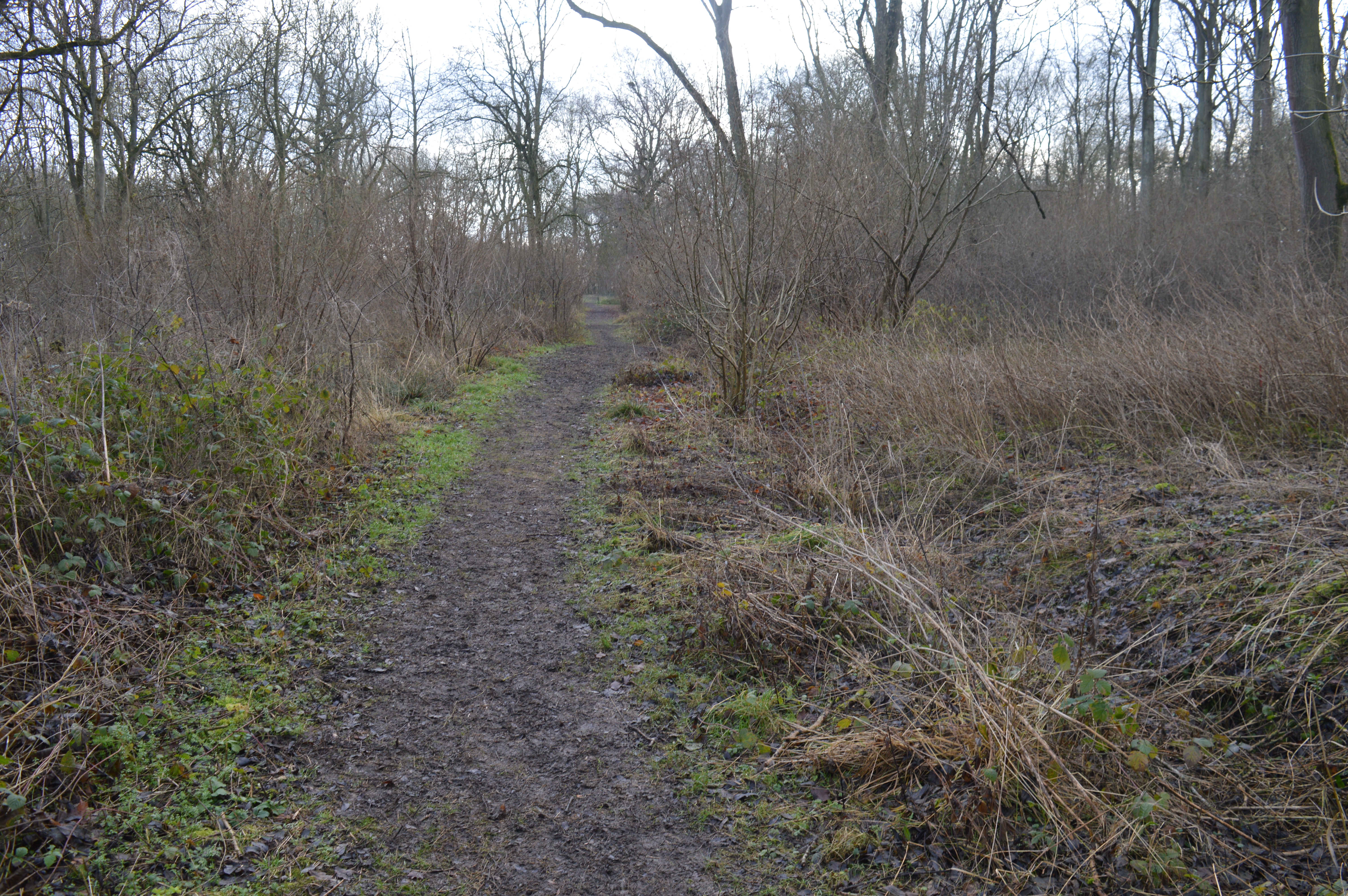
The wood is predominantly composed of diverse species of trees, including oak, birch, beech, and ash, which create a lush canopy that filters sunlight and provides a haven for a wide array of flora and fauna. The forest floor is adorned with a rich carpet of bluebells, wild garlic, and ferns, adding a touch of vibrancy to the serene surroundings.

Great Coven's Wood has a long and storied history dating back centuries. It is believed to have been part of the ancient hunting grounds of the Anglo-Saxon kings and later played a pivotal role as a source of timber during the medieval period. The remnants of old charcoal pits and saw pits can still be found, serving as a testament to its historical significance.

The wood is not only a haven for nature lovers but also a sanctuary for various wildlife species. It provides a habitat for a plethora of birds, including woodpeckers, owls, and warblers, as well as mammals like deer, foxes, and badgers. Numerous well-maintained footpaths and trails crisscross the woodland, allowing visitors to explore its beauty and observe its inhabitants.

Great Coven's Wood truly offers an escape from the hustle and bustle of daily life, providing a tranquil and idyllic setting for nature enthusiasts, walkers, and photographers alike. Its combination of natural splendor and historical intrigue makes it a must-visit destination in Cambridgeshire.

If you have any feedback on the listing, please let us know in the comments section below.

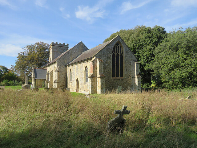
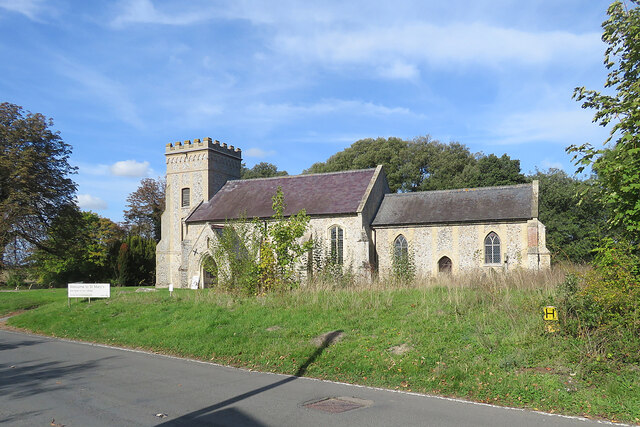
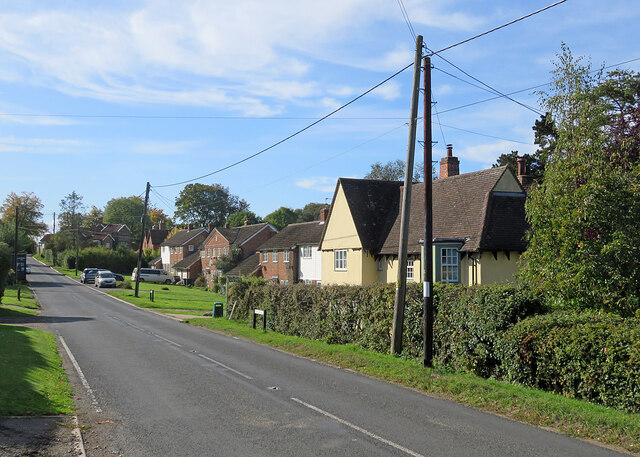
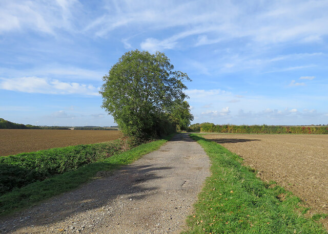
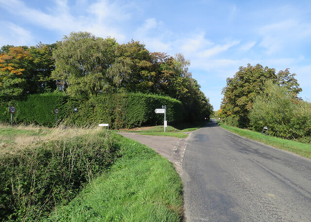
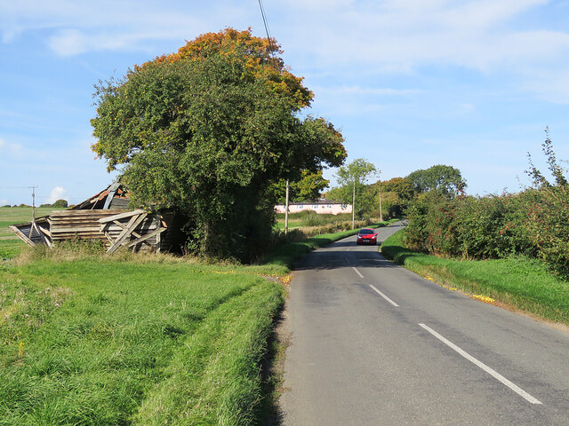
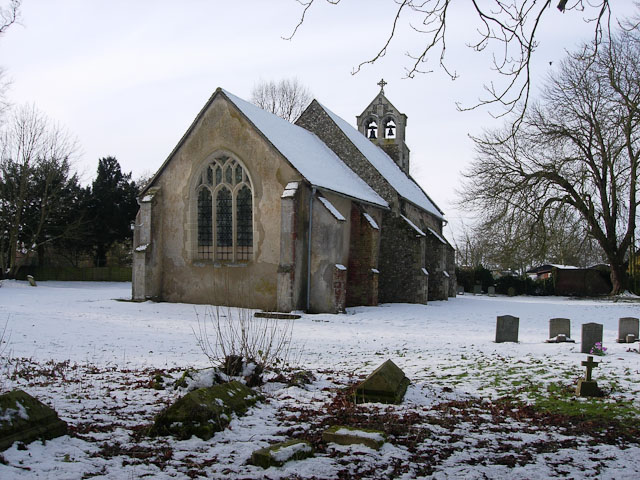
Great Coven's Wood Images

Images are sourced within 2km of 52.153828/0.37114325 or Grid Reference TL6253. Thanks to Geograph Open Source API. All images are credited.

West Wratting: path to Weston Colville This concrete farm road is the start of a footpath to Weston Colville, whose church tower shows as a distant white speck against dark trees, to the right of centre.
West Wratting: path to Weston Colville
This concrete farm road is the start of a footpath to Weston Colville, whose church tower shows as a distant white speck against dark trees, to the right of centre.
West Wratting: cottages outside the village These cottages are a way from the village, on the road from Haverhill and Withersfield to Six Mile Bottom (ahead).
West Wratting: cottages outside the village
These cottages are a way from the village, on the road from Haverhill and Withersfield to Six Mile Bottom (ahead).
On Six Mile Bottom Road The road from Weston Colville to Lark Hall and Six Mile Bottom (ahead), photographed on a fine October morning.
On Six Mile Bottom Road
The road from Weston Colville to Lark Hall and Six Mile Bottom (ahead), photographed on a fine October morning.
Weston Colville: St Mary - from the east "About 1825 much was rebuilt, especially tower and chancel. The building is characterised by the rare effect of flint in a kind of grey brick framing" (Nikolaus Pevsner).
Weston Colville: St Mary - from the east
"About 1825 much was rebuilt, especially tower and chancel. The building is characterised by the rare effect of flint in a kind of grey brick framing" (Nikolaus Pevsner).
Weston Colville: St Mary - south side from Church End "About 1825 much was rebuilt, especially tower and chancel. The building is characterised by the rare effect of flint in a kind of grey brick framing" (Nikolaus Pevsner).
Weston Colville: St Mary - south side from Church End
"About 1825 much was rebuilt, especially tower and chancel. The building is characterised by the rare effect of flint in a kind of grey brick framing" (Nikolaus Pevsner).
Weston Colville: houses on Brinkley Road A fine October morning.
Weston Colville: houses on Brinkley Road
A fine October morning.
Bridleway to Grange Road The start of a track which ends at the road from Weston Colville to Dullingham, a mile and a half away.
Bridleway to Grange Road
The start of a track which ends at the road from Weston Colville to Dullingham, a mile and a half away.
Towards Weston Colville on Brinkley Road This is the winding B1052, between Willingham Green and Weston Colville, photographed on a bright October morning.
Towards Weston Colville on Brinkley Road
This is the winding B1052, between Willingham Green and Weston Colville, photographed on a bright October morning.
Cottages at Willingham Green A hamlet between Weston Colville and Brinkley (ahead) in the gentle hills of East Cambridgeshire.
Cottages at Willingham Green
A hamlet between Weston Colville and Brinkley (ahead) in the gentle hills of East Cambridgeshire.
Willingham Green Road This is a hamlet in East Cambridgeshire. The road leads to Carlton and on into Suffolk.
Willingham Green Road
This is a hamlet in East Cambridgeshire. The road leads to Carlton and on into Suffolk.
The start of a footpath at Willingham Green This is part of a complex network of footpaths linking Carlton, Brinkley and Weston Green.
The start of a footpath at Willingham Green
This is part of a complex network of footpaths linking Carlton, Brinkley and Weston Green.
Turn left for Willingham Green A turn off the road from Carlton to Brinkley (ahead), photographed on a sunny morning in early autumn.
Turn left for Willingham Green
A turn off the road from Carlton to Brinkley (ahead), photographed on a sunny morning in early autumn.
Collapsed shed, fallen apples, pink cottages and a red car Near Raynor's Bridge on the undulating road from Carlton to Brinkley (ahead). The pink row is Little Low Cottages.

Keith Edkins was here in 2018: <a href="https://www.geograph.org.uk/photo/5922622">TL6353 : Old shed at Raynor Bridge</a>.
Collapsed shed, fallen apples, pink cottages and a red car
Near Raynor's Bridge on the undulating road from Carlton to Brinkley (ahead). The pink row is Little Low Cottages. Keith Edkins was here in 2018: TL6353 : Old shed at Raynor Bridge.
Carlton: a cottage on Brinkley Road In the valley of the River Stour, which rises on nearby Wratting Common. The original parts of the Grade II listed cottage were built in the 18th century.
Carlton: a cottage on Brinkley Road
In the valley of the River Stour, which rises on nearby Wratting Common. The original parts of the Grade II listed cottage were built in the 18th century.
Carlton Hill: across the Stour Valley John Constable's Stour is a Suffolk river, but it rises not far from here, at Wratting Common near Weston Colville in the hills of East Cambridgeshire and reaches the sea at Manningtree in Essex. <a href="https://www.geograph.org.uk/photo/7307887">TL6453 : Carlton: a cottage on Brinkley Road</a> is a closer look at the house in the centre middle distance.
Carlton Hill: across the Stour Valley
John Constable's Stour is a Suffolk river, but it rises not far from here, at Wratting Common near Weston Colville in the hills of East Cambridgeshire and reaches the sea at Manningtree in Essex. TL6453 : Carlton: a cottage on Brinkley Road is a closer look at the house in the centre middle distance.
Carlton: houses and path on Church Road Looking towards Carlton Hill at the north end of this straggling Cambridgeshire village.
Carlton: houses and path on Church Road
Looking towards Carlton Hill at the north end of this straggling Cambridgeshire village.
Carlton: white walls on Church Street Looking towards the centre of the village on a bright October morning.
Carlton: white walls on Church Street
Looking towards the centre of the village on a bright October morning.
Carlton: churchyard light and shade Taken from shaded Carlton Green Road on a sunny October morning. St Peter's is a small and rewarding church: see, for instance, <a href="https://www.geograph.org.uk/photo/3143308">TL6452 : Carlton: St Peter - font</a>, <a href="https://www.geograph.org.uk/photo/3143323">TL6452 : Carlton: St Peter - south window</a> and <a href="https://www.geograph.org.uk/photo/3143339">TL6452 : Carlton: St Peter - interior</a>, taken ten years before.
Carlton: churchyard light and shade
Taken from shaded Carlton Green Road on a sunny October morning. St Peter's is a small and rewarding church: see, for instance, TL6452 : Carlton: St Peter - font, TL6452 : Carlton: St Peter - south window and TL6452 : Carlton: St Peter - interior, taken ten years before.
Show me another place!

Great Coven's Wood is located at Grid Ref: TL6253 (Lat: 52.153828, Lng: 0.37114325)

Administrative County: Cambridgeshire

District: South Cambridgeshire

Police Authority: Cambridgeshire

What 3 Words

///brightly.dimes.rules. Near Balsham, Cambridgeshire

Related Wikis

Lower Wood

Lower Wood is a 9 hectare nature reserve east of Weston Colville in Cambridgeshire. It is managed by the Wildlife Trust for Bedfordshire, Cambridgeshire...

Weston Colville

Weston Colville is a village in South Cambridgeshire, 10 miles southeast of Cambridge and 6 miles south of Newmarket, close to the border with Suffolk...

Brinkley, Cambridgeshire

Brinkley is a small village in Cambridgeshire, England. It is situated about 15 miles east of Cambridge and 5 miles south of Newmarket, the horse racing...

West Wratting

West Wratting is a village and civil parish 10 miles southeast of Cambridge in Cambridgeshire. At 390 feet (120 m) above sea level, it can claim to be...

Carlton, Cambridgeshire

Carlton is a village and civil parish near the eastern boundary of the county of Cambridgeshire in the east of England. It is in the district of South...

Park Wood, Cambridgeshire

Park Wood is an 8.1-hectare (20-acre) biological Site of Special Scientific Interest east of Brinkley in Cambridgeshire.This is woodland of the wet ash/maple...

Burrough Green

Burrough Green is a village and parish in Cambridgeshire, England. The population of the village at the 2011 census was 378. The soil is various; subsoil...

Shug Monkey

In the folklore of Cambridgeshire, the Shug Monkey is a creature that shares features of a dog and monkey, which reportedly haunted Slough Hill Lane (a...

Nearby Amenities

Located within 500m of 52.153828,0.37114325
Source: Bing
Lat/Long: 52.1512877/0.3760042
Power: pole
Lat/Long: 52.1582199/0.3716628
Power: pole
Lat/Long: 52.1561732/0.368766
Power: pole
Lat/Long: 52.1552844/0.3676287
Power: pole
Lat/Long: 52.1534843/0.3670545
Power: pole
Lat/Long: 52.1575418/0.3706435
Power: pole
Lat/Long: 52.1543861/0.3673227
Power: pole
Lat/Long: 52.1555444/0.3678594
Power: pole
Lat/Long: 52.1568574/0.3696994
Power: pole
Lat/Long: 52.1525988/0.3667221
Power: pole
Lat/Long: 52.1522449/0.366615
Information: board
Tourism: information
Lat/Long: 52.15141/0.3703772
Bench
Lat/Long: 52.1510512/0.3725283
Bench
Lat/Long: 52.150281/0.373451
The data included in this document is from www.openstreetmap.org. The data is made available under ODbL.

Have you been to Great Coven's Wood?

Leave your review of Great Coven's Wood below (or comments, questions and feedback).