Bell Plantation

Wood, Forest in Cambridgeshire East Cambridgeshire

England

Bell Plantation

"the kings head", Dullingham Someone tell them about capital letters please! Still, it's a service in TL65 and there aren't many.
"the kings head", Dullingham Credit: Hugh Venables

Bell Plantation is a picturesque woodland area located in Cambridgeshire, England. Covering an expansive area, this forest is known for its lush greenery, diverse flora and fauna, and tranquil atmosphere. The plantation is situated in close proximity to the village of Bell, giving it its name.

The woodland is predominantly made up of native tree species such as oak, beech, and ash, which create a dense canopy, providing shelter and habitat for a variety of wildlife. Walking through Bell Plantation, visitors can expect to see an array of wildflowers, including bluebells and primroses, which add splashes of color to the landscape during the spring months.

The forest offers numerous walking trails and footpaths, allowing visitors to explore its natural beauty at their own pace. These paths wind through the trees, offering glimpses of charming streams and small ponds along the way. Birdwatchers will be delighted by the presence of various avian species that call Bell Plantation their home, such as woodpeckers, owls, and finches.

Bell Plantation also caters to outdoor enthusiasts, providing designated areas for camping and picnicking. The peaceful surroundings make it an ideal spot for families and nature lovers to spend quality time together. Additionally, the forest is well-maintained, with facilities like toilets and parking available for visitors' convenience.

Overall, Bell Plantation in Cambridgeshire offers a serene and idyllic escape from the hustle and bustle of everyday life, providing a sanctuary for both wildlife and those seeking a connection with nature.

If you have any feedback on the listing, please let us know in the comments section below.

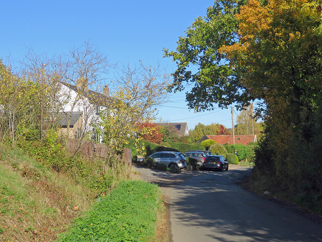
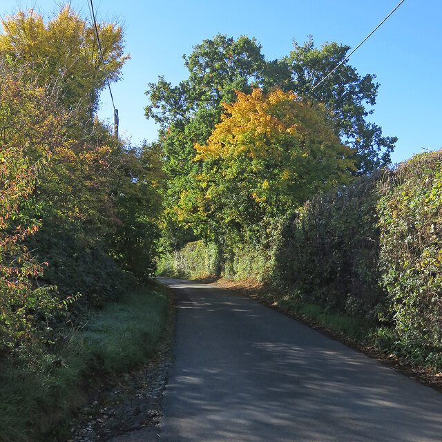
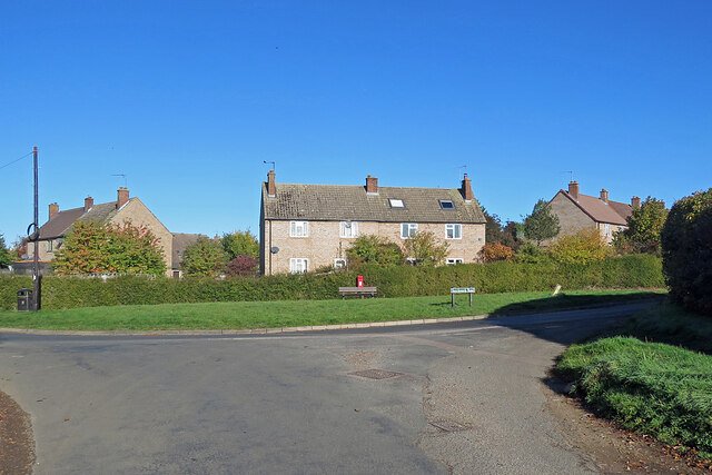
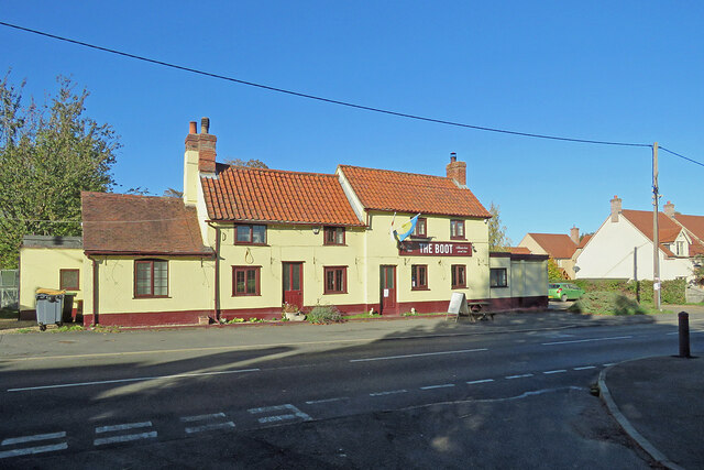
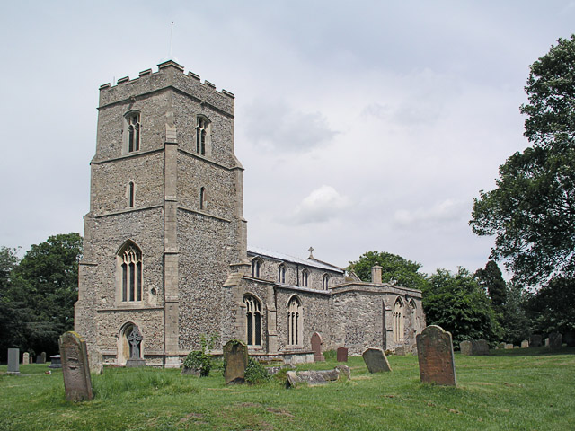
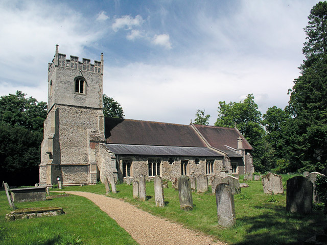
Bell Plantation Images

Images are sourced within 2km of 52.189978/0.37469081 or Grid Reference TL6257. Thanks to Geograph Open Source API. All images are credited.

"the kings head", Dullingham Someone tell them about capital letters please! Still, it's a service in TL65 and there aren't many.
"the kings head", Dullingham
Someone tell them about capital letters please! Still, it's a service in TL65 and there aren't many.
North-west from Westley Waterless Straight on for Westley Bottom.
North-west from Westley Waterless
Straight on for Westley Bottom.
Westley Waterless: water shortage After the drought summer of 2022 the water level looks low in the pond on Church Lane.

For comparison: <a href="https://www.geograph.org.uk/photo/3276200">TL6156 : Westley Waterless: Church Lane and pond</a> (2012).
Westley Waterless: water shortage
After the drought summer of 2022 the water level looks low in the pond on Church Lane. For comparison: TL6156 : Westley Waterless: Church Lane and pond (2012).
Westley Waterless: St Mary - restoration Two men were working on the bellcote - one on the lead, the other painting the louvres. The spirelet replaced a round tower which collapsed in 1855.

Inside are two exquisite 14th-century brasses: <a href="https://www.geograph.org.uk/photo/3276297">TL6156 : Westley Waterless: brass of Sir John Creke (detail)</a> and <a href="https://www.geograph.org.uk/photo/3276294">TL6156 : Westley Waterless: brass of Lady Creke (detail)</a>.
Westley Waterless: St Mary - restoration
Two men were working on the bellcote - one on the lead, the other painting the louvres. The spirelet replaced a round tower which collapsed in 1855. Inside are two exquisite 14th-century brasses: TL6156 : Westley Waterless: brass of Sir John Creke (detail) and TL6156 : Westley Waterless: brass of Lady Creke (detail).
Westley Waterless: building work A new house on Main Road
Westley Waterless: building work
A new house on Main Road
Converted water tower near Burrough Green A house on the B1061 between Dullingham and Brinkley.
Converted water tower near Burrough Green
A house on the B1061 between Dullingham and Brinkley.
Houses at Cross Green A straggle of houses on the road from Dullingham Ley to Dullingham.
Houses at Cross Green
A straggle of houses on the road from Dullingham Ley to Dullingham.
Between Dullingham Ley and Dullingham A cloudless October morning.
Between Dullingham Ley and Dullingham
A cloudless October morning.
Light, shade and changing colours A cloudless October morning in the horse-racing country south of Newmarket. This is the single-track dead-end lane to Dullingham Ley and Widgham Green, serving a scattering of houses and a number of stud farms.
Light, shade and changing colours
A cloudless October morning in the horse-racing country south of Newmarket. This is the single-track dead-end lane to Dullingham Ley and Widgham Green, serving a scattering of houses and a number of stud farms.
Stetchworth: The Marquis of Granby A 19th-century brick pub at the corner of High Street (ahead) and Tea Kettle Lane the road to Dullingham.
Stetchworth: The Marquis of Granby
A 19th-century brick pub at the corner of High Street (ahead) and Tea Kettle Lane the road to Dullingham.
Entering Stetchworth Bright sunlight and deep shadows on a fine October morning. This is where the road from Dullingham meets Mill Lane (left) and Tea Kettle Lane (ahead).
Entering Stetchworth
Bright sunlight and deep shadows on a fine October morning. This is where the road from Dullingham meets Mill Lane (left) and Tea Kettle Lane (ahead).
Down Stetchworth Road Council-built houses between Stetchworth and Dullingham (ahead).
Down Stetchworth Road
Council-built houses between Stetchworth and Dullingham (ahead).
Dullingham: houses on the corner Council-built houses on the sharp corner where the dead-end lane from Dullingham Ley meets Stetchworth Road on the edge of Dullingham.
Dullingham: houses on the corner
Council-built houses on the sharp corner where the dead-end lane from Dullingham Ley meets Stetchworth Road on the edge of Dullingham.
Dullingham: St Mary All things bright and beautiful on a lovely October morning. St Mary's is Grade I listed - see <span class="nowrap"><a title="http://www.britishlistedbuildings.co.uk/en-49159-parish-church-of-st-mary-dullingham-cambr" rel="nofollow ugc noopener" href="http://www.britishlistedbuildings.co.uk/en-49159-parish-church-of-st-mary-dullingham-cambr">Link</a><img style="margin-left:2px;" alt="External link" title="External link - shift click to open in new window" src="https://s1.geograph.org.uk/img/external.png" width="10" height="10"/></span> .
Dullingham: St Mary
All things bright and beautiful on a lovely October morning. St Mary's is Grade I listed - see LinkExternal link .
Dullingham: The Boot Photographed from the shadows of Church Close on a bright October morning. The pub was flying a Ukrainian flag during the eighth month of the Russian invasion of Ukraine.
Dullingham: The Boot
Photographed from the shadows of Church Close on a bright October morning. The pub was flying a Ukrainian flag during the eighth month of the Russian invasion of Ukraine.
Dullingham: a house with a history The Grade II listing for the house on the left begins "Originally the workhouse, now dwellings. Late C17 or early C18. Local red brick; red pantile roof. Two symmetrical stacks and rear stack. Two storeys and attic with outshut. Central facade gable with round window."
Dullingham: a house with a history
The Grade II listing for the house on the left begins "Originally the workhouse, now dwellings. Late C17 or early C18. Local red brick; red pantile roof. Two symmetrical stacks and rear stack. Two storeys and attic with outshut. Central facade gable with round window."
Burrough End: the B1052 near the Westley Waterless turn <a href="https://www.geograph.org.uk/photo/3276486">TL6255 : Nearing Burrough End</a> is a winter view from the other side of the road, taken nearly ten years before.
Burrough End: the B1052 near the Westley Waterless turn
TL6255 : Nearing Burrough End is a winter view from the other side of the road, taken nearly ten years before.
On the B1052 Dullingham Road Nearing Fern Cottage, between Brinkley and Burrough End, on a sparkling October morning.
On the B1052 Dullingham Road
Nearing Fern Cottage, between Brinkley and Burrough End, on a sparkling October morning.
Show me another place!

Bell Plantation is located at Grid Ref: TL6257 (Lat: 52.189978, Lng: 0.37469081)

Administrative County: Cambridgeshire

District: East Cambridgeshire

Police Authority: Cambridgeshire

What 3 Words

///recovery.unhelpful.notifying. Near Newmarket, Suffolk

Related Wikis

Dullingham

Dullingham is a small village and civil parish in East Cambridgeshire, England. It is situated 4 miles (6 km) south of Newmarket and 14 miles (23 km) east...

Westley Waterless

Westley Waterless is a small village and civil parish in East Cambridgeshire, England, 5 miles south west of Newmarket. == History == The parish of Westley...

Dullingham railway station

Dullingham is a railway station that serves the village of Dullingham in Cambridgeshire, England. It is about 1 mile (1.6 km) north-west of the centre...

Stetchworth

Stetchworth is a small village and civil parish in East Cambridgeshire, England, 3 miles (5 km) to the south of the horse-racing centre of Newmarket and...

Brinkley, Cambridgeshire

Brinkley is a small village in Cambridgeshire, England. It is situated about 15 miles east of Cambridge and 5 miles south of Newmarket, the horse racing...

Burrough Green

Burrough Green is a village and parish in Cambridgeshire, England. The population of the village at the 2011 census was 378. The soil is various; subsoil...

Park Wood, Cambridgeshire

Park Wood is an 8.1-hectare (20-acre) biological Site of Special Scientific Interest east of Brinkley in Cambridgeshire.This is woodland of the wet ash/maple...

Weston Colville

Weston Colville is a village in South Cambridgeshire, 10 miles southeast of Cambridge and 6 miles south of Newmarket, close to the border with Suffolk...

Related Videos

A Burrough Green Circular Walk August 6th 2010--an Audio Pod--not the full audio on this version

For full audio Go to :https://youtu.be/EfqbSsbML8o A pleasant 6 mile circular wander from Burrough Green to Carlton St Peter's, ...

Nearby Amenities

Located within 500m of 52.189978,0.37469081
Power: pole
Lat/Long: 52.1929551/0.3778032
Power: pole
Lat/Long: 52.1922667/0.3785885
Power: pole
Lat/Long: 52.1936038/0.3770462
Power: pole
Lat/Long: 52.1941842/0.3763838
Power: pole
Lat/Long: 52.1922867/0.379835
The data included in this document is from www.openstreetmap.org. The data is made available under ODbL.

Have you been to Bell Plantation?

Leave your review of Bell Plantation below (or comments, questions and feedback).