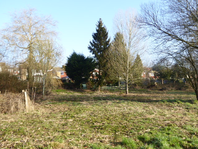
Beechfield Shaw
Wood, Forest in Sussex Wealden
England
Beechfield Shaw

Beechfield Shaw is a woodland area located in the county of Sussex, England. Situated in the southern part of the county, it is a part of the wider landscape of the Sussex Weald, known for its beautiful forests and woodlands. Beechfield Shaw specifically is characterized by its dense growth of beech trees, which dominate the landscape and give the area its name.
Covering an approximate area of 500 acres, Beechfield Shaw is known for its picturesque scenery and rich biodiversity. The woodland is composed of a mixture of mature beech trees, oak trees, and other native species, creating a diverse and vibrant ecosystem. The dense canopy created by the towering trees provides shelter to a wide variety of wildlife, including birds, deer, and smaller mammals such as squirrels and rabbits.
Visitors to Beechfield Shaw can enjoy peaceful walks along the numerous trails that wind through the woodland. These trails offer opportunities to experience the tranquility of nature and observe the flora and fauna that call the area home. The woodland is particularly popular with nature enthusiasts, birdwatchers, and photographers, who are drawn to its natural beauty and the chance to capture stunning images of the forest.
Beechfield Shaw is also a designated Site of Special Scientific Interest (SSSI) due to its ecological significance. Conservation efforts are undertaken to preserve the woodland's unique habitat and protect its diverse range of plant and animal species.
Overall, Beechfield Shaw in Sussex is a captivating woodland area that offers visitors a chance to immerse themselves in the natural beauty of the Sussex Weald and experience the wonders of a thriving forest ecosystem.
If you have any feedback on the listing, please let us know in the comments section below.
Beechfield Shaw Images
Images are sourced within 2km of 50.930934/0.30459965 or Grid Reference TQ6217. Thanks to Geograph Open Source API. All images are credited.


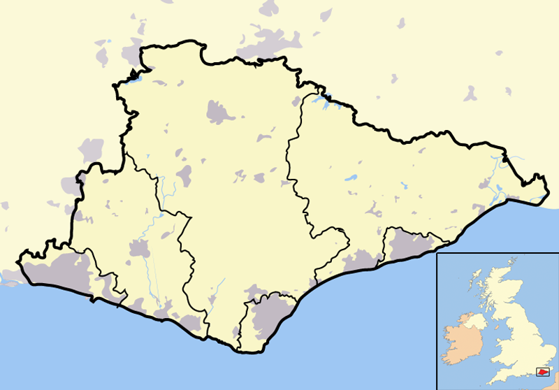
Beechfield Shaw is located at Grid Ref: TQ6217 (Lat: 50.930934, Lng: 0.30459965)
Administrative County: East Sussex
District: Wealden
Police Authority: Sussex
What 3 Words
///unwound.harvest.cones. Near Bodle Street, East Sussex
Nearby Locations
Related Wikis

Rushlake Green
Rushlake Green is a small village in the civil parish of Warbleton in the Wealden district of East Sussex, England. Rushlake Green is situated on the slopes...

Warbleton
Warbleton is a village and civil parish in the Wealden district of East Sussex, England. Within its bounds are three other settlements. It is located south...
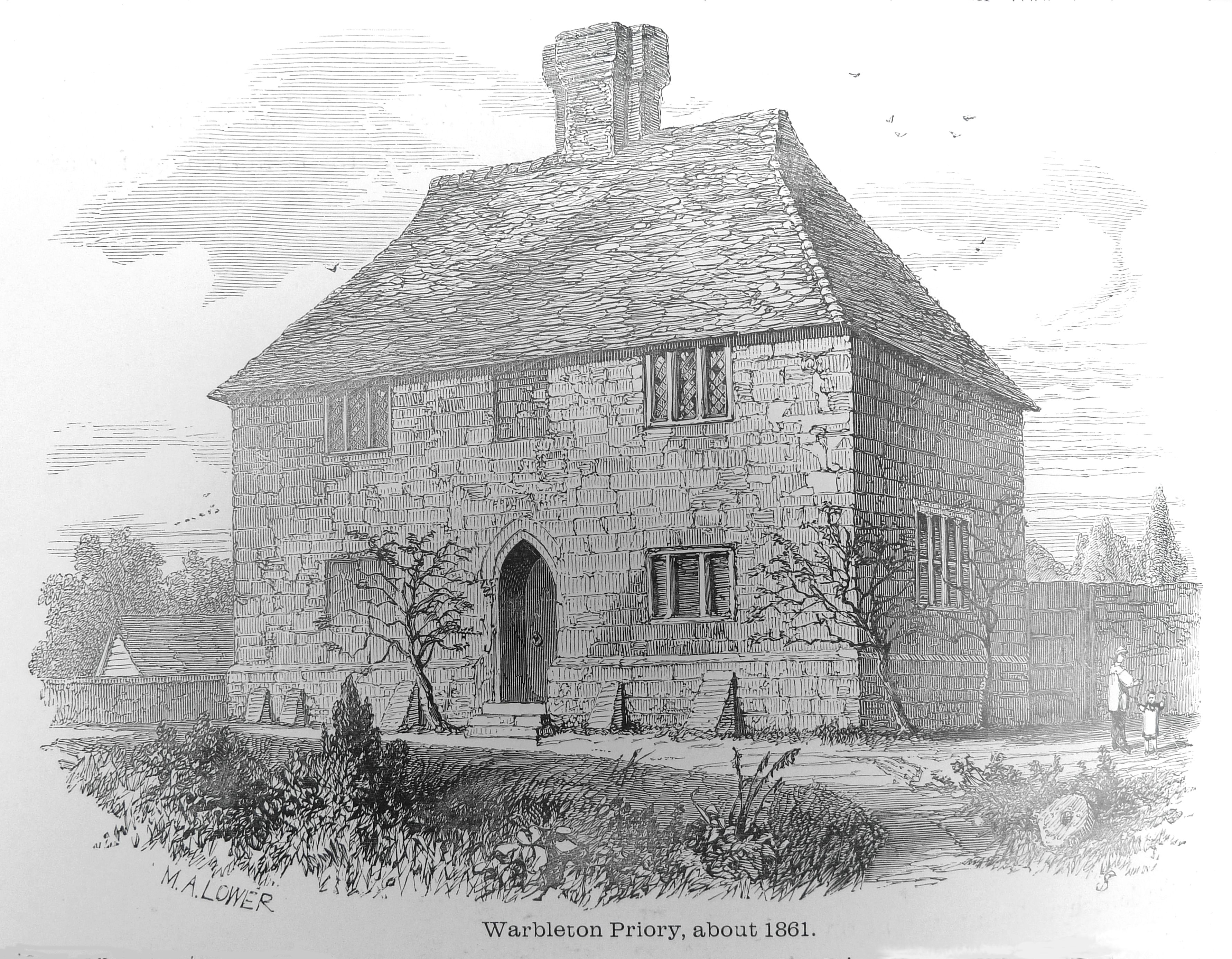
Warbleton Priory
Warbleton Priory was a medieval monastic house in East Sussex, England. The current house is a Grade II* listed building. == References == == External... ==
List of local nature reserves in East Sussex
Local Nature Reserves (LNRs) are designated by local authorities under the National Parks and Access to the Countryside Act 1949. The local authority must...
List of Sites of Special Scientific Interest in East Sussex
In England, Sites of Special Scientific Interest (SSSIs) are designated by Natural England, which is responsible for protecting England's natural environment...

St Dunstan's Farm Meadows
St Dunstan's Farm Meadows is a 10.2-hectare (25-acre) biological Site of Special Scientific Interest south-east of Heathfield in East Sussex. It is in...
Cowbeech
Cowbeech is a small village in the civil parish of Herstmonceux in the Wealden district of East Sussex, England. Its nearest town is Hailsham, which lies...

Punnett's Town
Punnett's Town is a village in the Wealden district of East Sussex. The main street is Battle road, which is part of the B2096 road. Blackdown Mill is...
Nearby Amenities
Located within 500m of 50.930934,0.30459965Have you been to Beechfield Shaw?
Leave your review of Beechfield Shaw below (or comments, questions and feedback).