Ballast Hole Plantation
Wood, Forest in Norfolk King's Lynn and West Norfolk
England
Ballast Hole Plantation

Ballast Hole Plantation is a historic woodland located in Norfolk, England. Situated on the outskirts of the village of Wood, it covers an area of approximately 50 acres. The plantation is renowned for its diverse range of trees and is a designated forest area.
The woodland dates back several centuries and has a rich history. It was originally established as a source of timber for shipbuilding during the 17th and 18th centuries. The name "Ballast Hole" refers to the practice of using the site as a dumping ground for ballast stones brought by ships returning from overseas voyages.
Today, Ballast Hole Plantation is a popular destination for nature enthusiasts and hikers. The woodland is home to an array of tree species, including oak, beech, ash, and pine. These trees provide a haven for various wildlife, such as deer, squirrels, and a wide variety of bird species.
The plantation is well-maintained, with well-marked trails that allow visitors to explore the woodland at their own pace. There are also picnic areas and benches scattered throughout the plantation, providing opportunities for visitors to relax and enjoy the serene surroundings.
In addition to its natural beauty, Ballast Hole Plantation also has historical significance. The remains of old sawpits and charcoal hearths can still be found within the woodland, serving as a reminder of its past as a timber source.
Overall, Ballast Hole Plantation in Norfolk is a captivating woodland that offers a blend of natural beauty and historical charm, making it a must-visit destination for nature lovers and history enthusiasts alike.
If you have any feedback on the listing, please let us know in the comments section below.
Ballast Hole Plantation Images
Images are sourced within 2km of 52.680789/0.39521182 or Grid Reference TF6211. Thanks to Geograph Open Source API. All images are credited.


Ballast Hole Plantation is located at Grid Ref: TF6211 (Lat: 52.680789, Lng: 0.39521182)
Administrative County: Norfolk
District: King's Lynn and West Norfolk
Police Authority: Norfolk
What 3 Words
///remarking.improve.blatantly. Near King's Lynn, Norfolk
Nearby Locations
Related Wikis
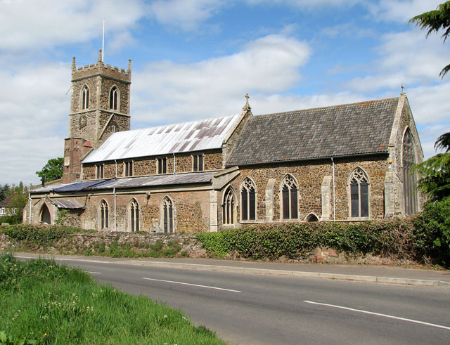
Watlington, Norfolk
Watlington is a village, civil parish and electoral ward in the English county of Norfolk. It covers an area of 6.93 km2 (2.68 sq mi) and had a population...
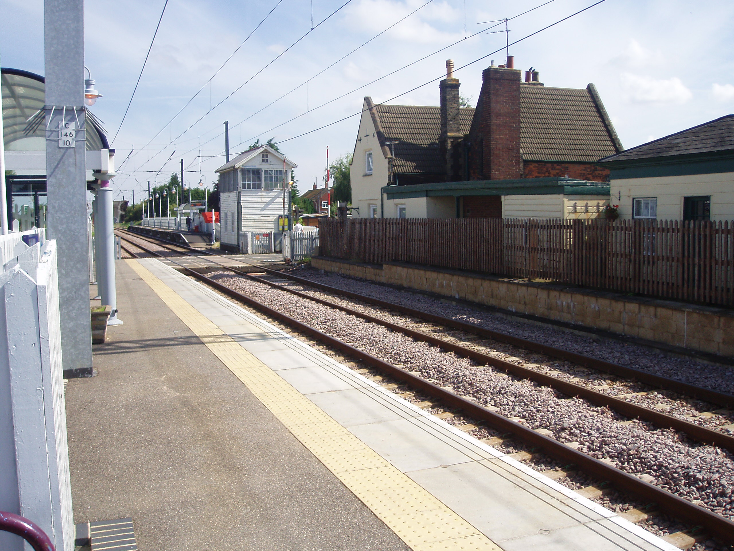
Watlington railway station
Watlington railway station (formerly known as Magdalen Road) is on the Fen line in the east of England, serving the village of Watlington, Norfolk. It...

Setchey SSSI
Setchey SSSI is a 33.4-hectare (83-acre) geological Site of Special Scientific Interest south of King's Lynn in Norfolk. It is a Geological Conservation...

St Germain's railway station
St. Germain's railway station was located on the line between Kings Lynn and Watlington. It served the parish of Wiggenhall St. Germans, and closed in...
Tottenhill
Tottenhill is a civil parish in the English county of Norfolk. It covers an area of 5.90 km2 (2.28 sq mi) and had a population of 231 in 97 households...

Wiggenhall St Mary Magdalen
Wiggenhall St Mary Magdalen is a civil parish and village in the English county of Norfolk. It is 6 miles (9.7 km) south of the town of King's Lynn on...

Holme railway station (Norfolk)
Holme railway station was located on the line between Stow Bardolph and Watlington in Norfolk, England. It served the parish of Runcton Holme, and closed...
Runcton Holme
Runcton Holme is a village and civil parish in the English county of Norfolk. It covers an area of 13.89 km2 (5.36 sq mi) and had a population of 676 in...
Nearby Amenities
Located within 500m of 52.680789,0.39521182Have you been to Ballast Hole Plantation?
Leave your review of Ballast Hole Plantation below (or comments, questions and feedback).