Bush House Plantation

Wood, Forest in Sussex Wealden

England

Bush House Plantation

Lambs Larder Village store on the B2169 Bayham Road.
Lambs Larder Credit: David Anstiss

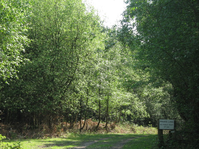
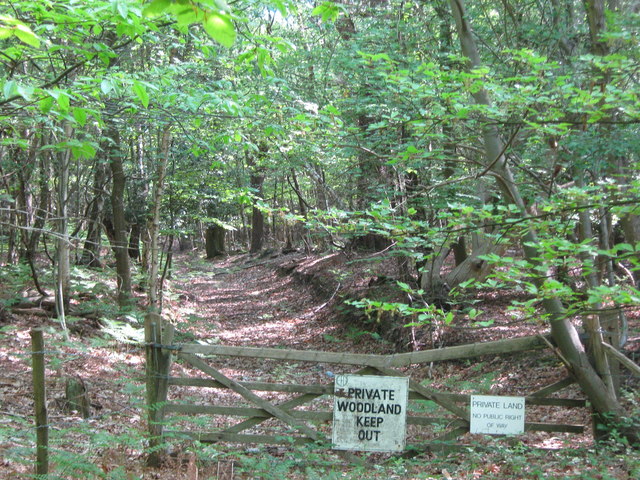
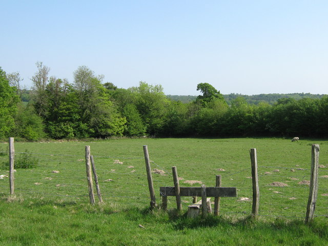
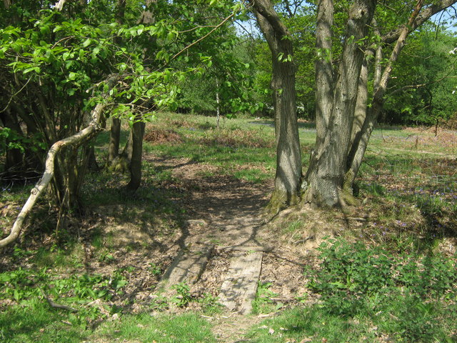
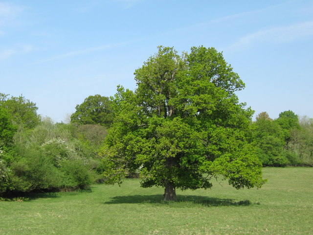
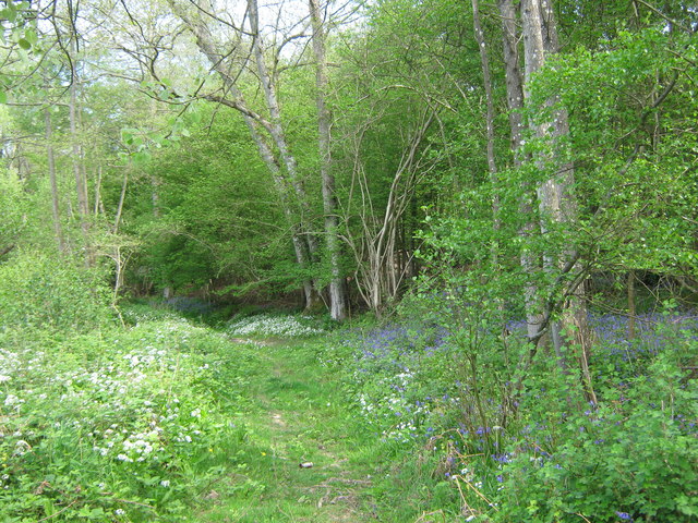
Bush House Plantation is a historic woodland located in Sussex, England. Spanning over a vast area, this plantation is renowned for its picturesque landscapes and rich biodiversity. The plantation is primarily composed of native tree species such as oak, beech, and ash, which have flourished over centuries, creating a dense forest cover.

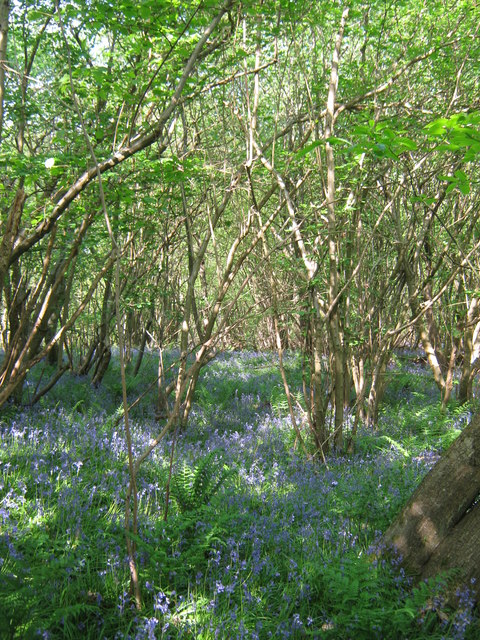
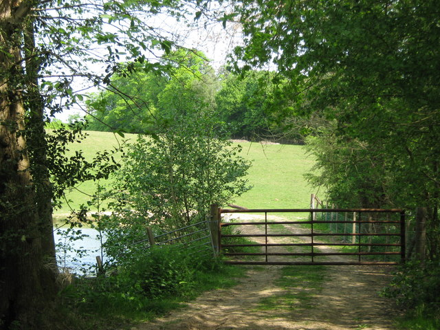
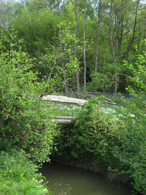
The woodland is home to a diverse range of flora and fauna, making it an important ecological site. The forest floor is adorned with a carpet of wildflowers, including bluebells and primroses, creating a vibrant display during spring. The plantation also provides a habitat for various wildlife species, including deer, badgers, and a wide array of bird species.

Bush House Plantation has a significant historical background, dating back to the medieval era. It has been under the stewardship of several families over the centuries, each contributing to its preservation and enhancement. The plantation's ancient trees and well-preserved pathways add to its charm and provide visitors with an immersive experience of walking through time.

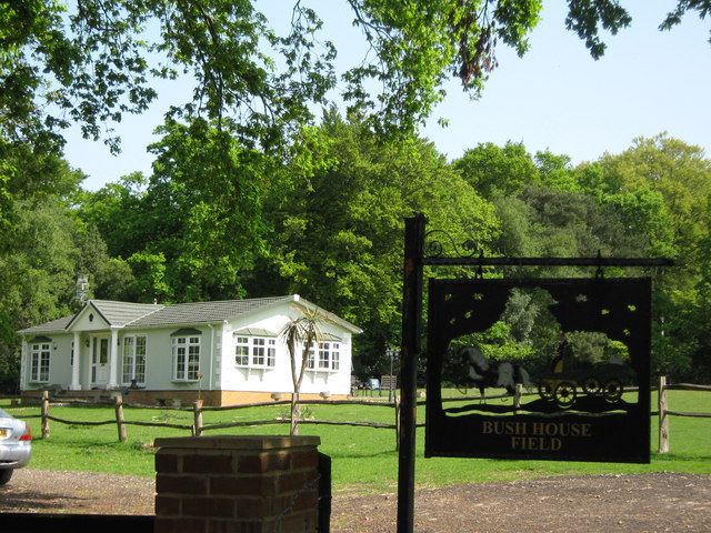
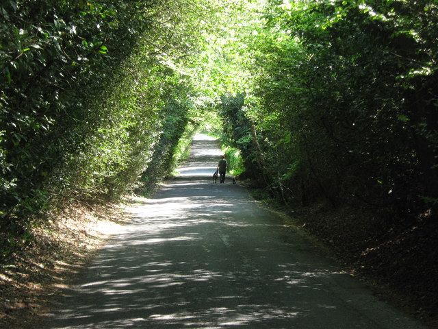
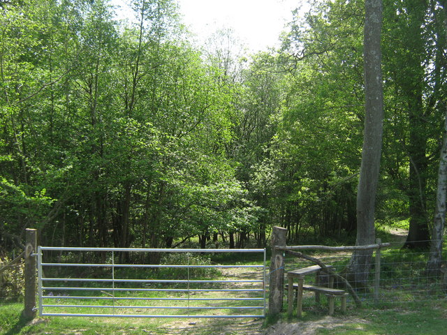
Visitors to Bush House Plantation can enjoy a range of activities, including hiking, nature walks, and birdwatching. The plantation offers well-maintained trails that wind through the forest, allowing visitors to explore its natural beauty at their own pace. The management of the plantation also organizes guided tours and educational programs, providing visitors with insights into the history, ecology, and conservation efforts of the woodland.

Overall, Bush House Plantation is a treasured woodland that combines historical significance, natural beauty, and biodiversity. It offers a tranquil escape from the bustling city life and provides a sanctuary for both nature enthusiasts and history buffs alike.

If you have any feedback on the listing, please let us know in the comments section below.

Bush House Plantation Images

Images are sourced within 2km of 51.108188/0.30199241 or Grid Reference TQ6136. Thanks to Geograph Open Source API. All images are credited.

Lambs Larder Village store on the B2169 Bayham Road.
Lambs Larder
Village store on the B2169 Bayham Road.
Bells Yew Green Village Hall On the B2169 Bayham Road.
Bells Yew Green Village Hall
On the B2169 Bayham Road.
Bells Yew Green Chapel Small chapel on the B2169 Bayham Road, behind a small cottage, facing the village green.
Bells Yew Green Chapel
Small chapel on the B2169 Bayham Road, behind a small cottage, facing the village green.
Brecknock Arms, Pub Sign Outside <a href="https://www.geograph.org.uk/photo/2039350">TQ6036 : The Brecknock Arms</a>, on the junction of Bayham Road and Bell Yew Road.
Brecknock Arms, Pub Sign
Outside TQ6036 : The Brecknock Arms, on the junction of Bayham Road and Bell Yew Road.
Woodland track in Oxpasture Wood This track leads from Hawkenbury Road.
Woodland track in Oxpasture Wood
This track leads from Hawkenbury Road.
Woodland Track in Oxpasture Wood This track leads from Hawkenbury Road. It is opposite the track to Frant Lakes.
Woodland Track in Oxpasture Wood
This track leads from Hawkenbury Road. It is opposite the track to Frant Lakes.
Bush House Field
Bush House Field
Dundale Road This road leads from Hawkenbury Road, towards Kipping's Cross.
On the left is Brown's Wood and Oxpasture Wood is on the right.
Dundale Road
This road leads from Hawkenbury Road, towards Kipping's Cross. On the left is Brown's Wood and Oxpasture Wood is on the right.
Stile near Brown's Wood This stile is on a Natural England permissive path from Dundale Road towards the wood in the background.
Stile near Brown's Wood
This stile is on a Natural England permissive path from Dundale Road towards the wood in the background.
Bluebells in Brown's Wood As seen from a permissive path near Dundale Road.
Bluebells in Brown's Wood
As seen from a permissive path near Dundale Road.
Track into Brown's Wood As seen from Hawkenbury Road. Track leads towards the River Teise.
Track into Brown's Wood
As seen from Hawkenbury Road. Track leads towards the River Teise.
Woodland Cabin near Sunningyle Farm Near Rushet Wood is a field with a group of holiday homes. Luxury camping style.
Woodland Cabin near Sunningyle Farm
Near Rushet Wood is a field with a group of holiday homes. Luxury camping style.
Stile and gate near Rushet Wood This stile is on a Natural England permissive path into the Wood and towards the River Teise.
Stile and gate near Rushet Wood
This stile is on a Natural England permissive path into the Wood and towards the River Teise.
Footbridge near Rushet Wood This bridge leads over a field drain near the wood. Currently it is dried out.
The bridge is used by a Natural England permissive path between the River Teise and Rushet Wood (in the background).
Footbridge near Rushet Wood
This bridge leads over a field drain near the wood. Currently it is dried out. The bridge is used by a Natural England permissive path between the River Teise and Rushet Wood (in the background).
Oak Tree near Rushet Wood This tree is beside a Natural England permissive path from the River Teise towards the wood (in the background).
Oak Tree near Rushet Wood
This tree is beside a Natural England permissive path from the River Teise towards the wood (in the background).
Gate near River Teise This gate is used by a Natural England permissive path leading from the Coneyburrow Wood beside the river, towards Rushet Wood near Dundale Road.
On the left is a small pond on the river.
Gate near River Teise
This gate is used by a Natural England permissive path leading from the Coneyburrow Wood beside the river, towards Rushet Wood near Dundale Road. On the left is a small pond on the river.
Footbridge over River Teise This bridge is used by a Natural England permissive path, leading over the river towards Furnace Wood.
Footbridge over River Teise
This bridge is used by a Natural England permissive path, leading over the river towards Furnace Wood.
Woodland Track in Furnace Wood This track leads from Bayham Lake through Furnace Wood towards Brown's Lodge.
On the left are masses of Wild Garlic and on the right (under the trees) are bluebells.
Woodland Track in Furnace Wood
This track leads from Bayham Lake through Furnace Wood towards Brown's Lodge. On the left are masses of Wild Garlic and on the right (under the trees) are bluebells.
Show me another place!

Bush House Plantation is located at Grid Ref: TQ6136 (Lat: 51.108188, Lng: 0.30199241)

Administrative County: East Sussex

District: Wealden

Police Authority: Sussex

What 3 Words

///trips.class.riches. Near Pembury, Kent

Related Wikis

Frant railway station

Frant railway station is on the Hastings line in East Sussex, England, and serves the civil parish of Frant (although the station is actually located some...

Kent and Sussex Crematorium and Cemetery

The Kent and Sussex Crematorium and Cemetery is a crematorium and cemetery located in Royal Tunbridge Wells in the county of Kent, England. == Background... ==

Hawkenbury, Tunbridge Wells

Hawkenbury is a small village area located in the south east of Royal Tunbridge Wells, Kent, England. == History == Hawkenbury was settled before Tunbridge...

Tunbridge Wells (UK Parliament constituency)

Tunbridge Wells is a constituency in Kent represented in the House of Commons of the UK Parliament since 2005 by Greg Clark, a Conservative who served...

St Alban's Church, Frant

St Alban's Church is a Church of England parish church in Frant, East Sussex, England. It was built in 1819–22 in a fifteenth-century gothic revival style...

Frant

Frant is a village and civil parish in the Wealden District of East Sussex, England, on the Kentish border about three miles (5 km) south of Royal Tunbridge...

Nevill Ground

The Nevill Ground is a cricket ground at Royal Tunbridge Wells in the English county of Kent. It is owned by Tunbridge Wells Borough Council and is used...

Dunorlan Park

Dunorlan Park is a park and grounds in Royal Tunbridge Wells, UK. Totalling approximately 78 acres (32 ha) and containing a 6-acre (2.4 ha) lake, the grounds...

Nearby Amenities

Located within 500m of 51.108188,0.30199241
The data included in this document is from www.openstreetmap.org. The data is made available under ODbL.

Have you been to Bush House Plantation?

Leave your review of Bush House Plantation below (or comments, questions and feedback).