Felin Newydd

Settlement in Denbighshire

Wales

Felin Newydd

Track to Pentregaer Uchaf There is a large barn in the field. Taken from cattle grid
Track to Pentregaer Uchaf Credit: John Firth

The requested URL returned error: 429 Too Many Requests

If you have any feedback on the listing, please let us know in the comments section below.
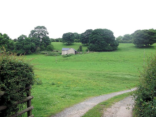
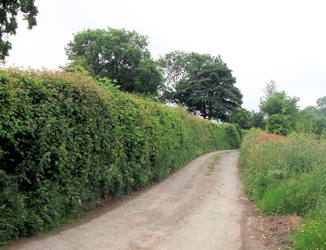
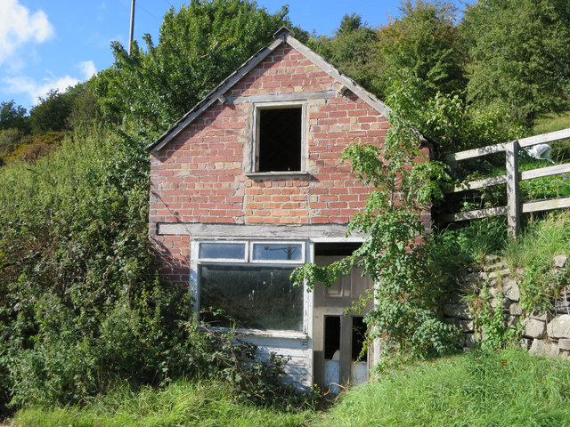
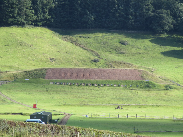
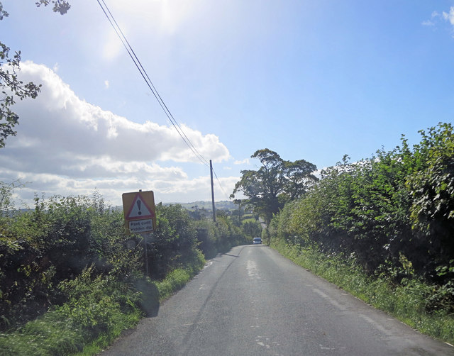
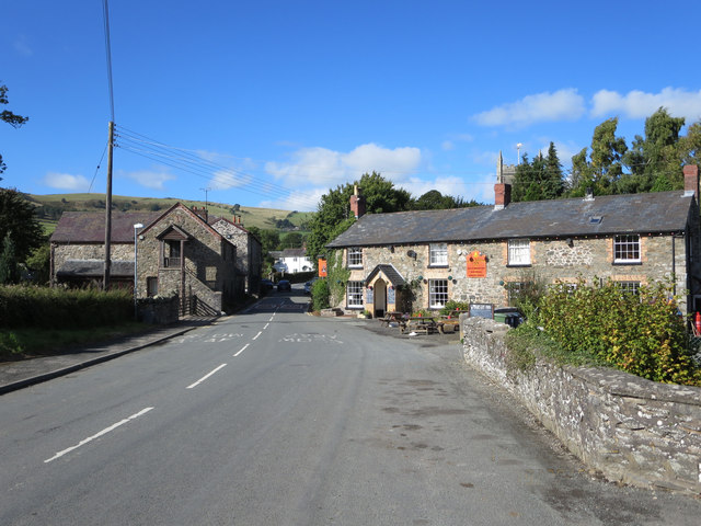
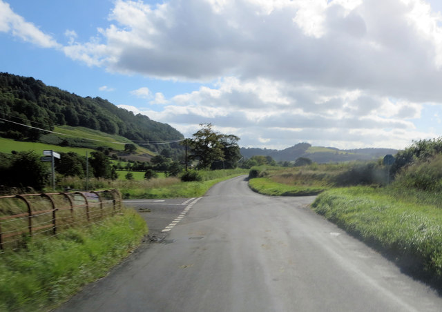
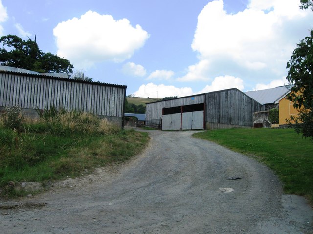
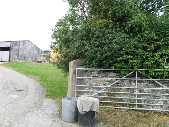
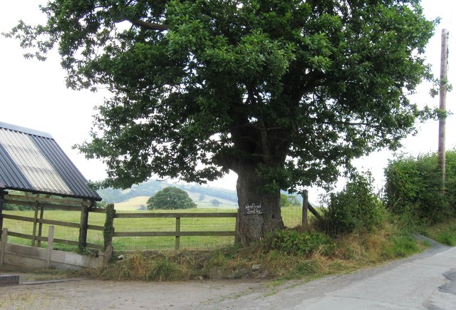
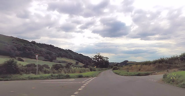
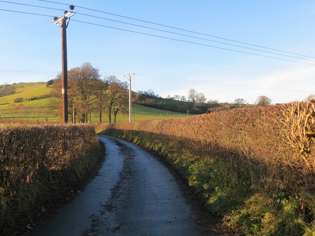
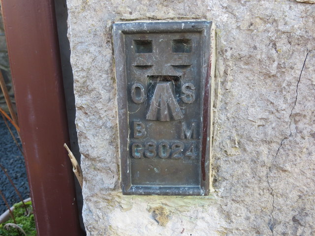
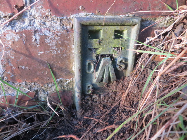
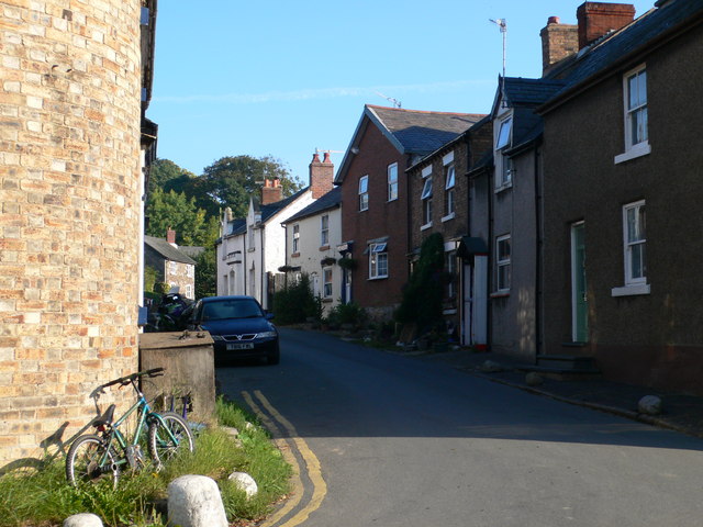
Felin Newydd Images

Images are sourced within 2km of 52.852824/-3.1597597 or Grid Reference SJ2229. Thanks to Geograph Open Source API. All images are credited.

Track to Pentregaer Uchaf There is a large barn in the field. Taken from cattle grid
Track to Pentregaer Uchaf
There is a large barn in the field. Taken from cattle grid
Lane to Pentregaer Issa Taken from junction of lane to Pentregaer Uchaf
Lane to Pentregaer Issa
Taken from junction of lane to Pentregaer Uchaf
Derelict house east of Bwlch-y-rhiw
Rifle range south of Bwlch-y-Rhiw
B4580 - hidden dip revealed The dip is revealed by the school bus panting up from the pant (Welsh for hollow) belching diesel fumes for all it was worth.
B4580 - hidden dip revealed
The dip is revealed by the school bus panting up from the pant (Welsh for hollow) belching diesel fumes for all it was worth.
Church of St Silin, Llansilin This is a Grade I listed building with Cadw Building ID: 638. The earliest part of the present building dates from the 13th century, although there had been a church on the site from much earlier times. Much of the present building dates from the early 15th Century. The wooden spire was destroyed by fire, and the present tower was built in 1832. There was a major restoration during 1889/1890, and the church was re-opened in June, 1890. See:-<span class="nowrap"><a title="http://en.wikipedia.org/wiki/Llansilin" rel="nofollow ugc noopener" href="http://en.wikipedia.org/wiki/Llansilin">Link</a><img style="margin-left:2px;" alt="External link" title="External link - shift click to open in new window" src="https://s1.geograph.org.uk/img/external.png" width="10" height="10"/></span>
Church of St Silin, Llansilin
This is a Grade I listed building with Cadw Building ID: 638. The earliest part of the present building dates from the 13th century, although there had been a church on the site from much earlier times. Much of the present building dates from the early 15th Century. The wooden spire was destroyed by fire, and the present tower was built in 1832. There was a major restoration during 1889/1890, and the church was re-opened in June, 1890. See:-LinkExternal link
B4580 passes through Llansilin
B4580 passes The Wynnstay Inn The website for the pub asserts that it was built in 1784 and, of the erstwhile five public houses in the Village of Llansilin, this is the only one remaining.
B4580 passes The Wynnstay Inn
The website for the pub asserts that it was built in 1784 and, of the erstwhile five public houses in the Village of Llansilin, this is the only one remaining.
B4580 crossroads south of Llansilin The 'B' road takes a sharp right here.
B4580 crossroads south of Llansilin
The 'B' road takes a sharp right here.
Wenffrwd Smithy
Wenffrwd Smithy
Crossroads south of Llansilin
The Church of St Silin at Llansilin Viewed from the west.
The Church of St Silin at Llansilin
Viewed from the west.
Ordnance Survey Flush Bracket G3025 This can be found on the Wynnstay Arms PH in Llansilin.
For more detail see : <span class="nowrap"><a title="http://www.bench-marks.org.uk/bm14928" rel="nofollow ugc noopener" href="http://www.bench-marks.org.uk/bm14928">Link</a><img style="margin-left:2px;" alt="External link" title="External link - shift click to open in new window" src="https://s1.geograph.org.uk/img/external.png" width="10" height="10"/></span>
Ordnance Survey Flush Bracket G3025
This can be found on the Wynnstay Arms PH in Llansilin. For more detail see : LinkExternal link
Hedge enclosed lane from Derwen-deg to Rhyleos Looking north-westward.
Hedge enclosed lane from Derwen-deg to Rhyleos
Looking north-westward.
Ordnance Survey Flush Bracket G3024 This can be found on a converted barn - now a private dwelling - at Derwen Deg.
For more detail see : <span class="nowrap"><a title="http://www.bench-marks.org.uk/bm14927" rel="nofollow ugc noopener" href="http://www.bench-marks.org.uk/bm14927">Link</a><img style="margin-left:2px;" alt="External link" title="External link - shift click to open in new window" src="https://s1.geograph.org.uk/img/external.png" width="10" height="10"/></span>
Ordnance Survey Flush Bracket G3024
This can be found on a converted barn - now a private dwelling - at Derwen Deg. For more detail see : LinkExternal link
Ordnance Survey Flush Bracket G3023 This partly buried bracket can be found on the wall of a roadside outbuilding at Bryncoch, Tan-y-graig.
For more detail see : <span class="nowrap"><a title="http://www.bench-marks.org.uk/bm14926" rel="nofollow ugc noopener" href="http://www.bench-marks.org.uk/bm14926">Link</a><img style="margin-left:2px;" alt="External link" title="External link - shift click to open in new window" src="https://s1.geograph.org.uk/img/external.png" width="10" height="10"/></span>
Ordnance Survey Flush Bracket G3023
This partly buried bracket can be found on the wall of a roadside outbuilding at Bryncoch, Tan-y-graig. For more detail see : LinkExternal link
Show me another place!

Felin Newydd is located at Grid Ref: SJ2229 (Lat: 52.852824, Lng: -3.1597597)

Unitary Authority: Powys

Police Authority: Dyfed Powys

What 3 Words

///cowboys.staining.witless. Near Oswestry, Shropshire

Related Wikis

St Silin's Church, Llansilin

St Silin's Church is a Church in Wales parish church in Llansilin, Powys, Wales. The present building, which has parts dating back to the 13th century...

Llansilin

Llansilin () is a village and local government community in Montgomeryshire, Powys, Wales, 5 miles (8 km) west of Oswestry. The community, which includes...

Nant-y-Gollen

Nant-y-Gollen is a village in Shropshire in England. == References ==

Rhydycroesau

Rhydycroesau is a tiny village on the English-Welsh border, 3.25 miles (5.23 km) west of Oswestry on the B4580 road. It lies partly in the Shropshire parish...

Nearby Amenities

Located within 500m of 52.852824,-3.1597597
Ford: yes
Lat/Long: 52.8533336/-3.1551543
Barrier: yes
Foot: yes
Lat/Long: 52.8532763/-3.1550402
Direction: SSE
Generator Method: photovoltaic
Generator Output Electricity: yes
Generator Solar Modules: 8
Generator Source: solar
Generator Type: solar_photovoltaic_panel
Location: roof
Power: generator
Lat/Long: 52.8548568/-3.1579417
Power: pole
Lat/Long: 52.8532909/-3.1671464
The data included in this document is from www.openstreetmap.org. The data is made available under ODbL.

Have you been to Felin Newydd?

Leave your review of Felin Newydd below (or comments, questions and feedback).