Felhampton

Settlement in Shropshire

England

Felhampton

The Coppice
The Coppice Credit: Richard Webb

Felhampton is a charming village located in the county of Shropshire, England. Situated in the western part of the county, it lies just east of the larger market town of Bridgnorth. Surrounded by picturesque countryside, Felhampton offers a peaceful and idyllic setting for residents and visitors alike.

The village is characterized by its traditional English architecture, with rows of quaint cottages and historical buildings lining the streets. The centerpiece of Felhampton is the St. John the Baptist Church, a beautiful medieval structure that dates back to the 12th century and serves as a focal point for the community.

Despite its small size, Felhampton has a tight-knit and friendly community. The village boasts a range of amenities, including a local pub, a village hall, and a primary school, which caters to the educational needs of the younger residents. The village also benefits from its close proximity to Bridgnorth, where a wider array of shops, restaurants, and leisure facilities can be found.

Nature enthusiasts will find plenty to explore in Felhampton, as the village is surrounded by rolling hills, verdant fields, and charming woodland areas. The countryside offers opportunities for walking, hiking, and cycling, allowing visitors to fully immerse themselves in the natural beauty of the area.

With its picturesque setting, historic charm, and welcoming community, Felhampton is a hidden gem within Shropshire. Whether you are seeking a peaceful retreat, a glimpse into English village life, or a base for exploring the surrounding countryside, Felhampton offers a delightful destination.

If you have any feedback on the listing, please let us know in the comments section below.
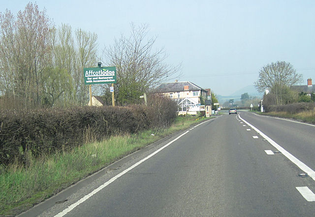
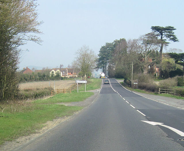
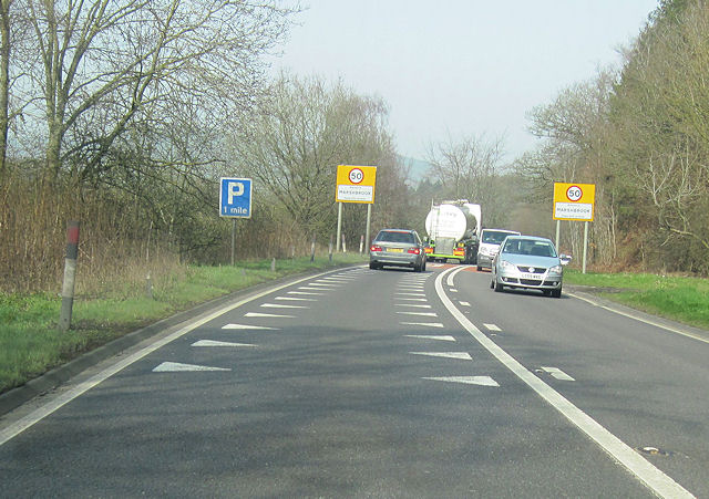
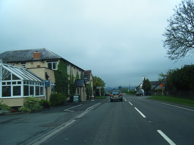
Felhampton Images

Images are sourced within 2km of 52.482118/-2.817218 or Grid Reference SO4487. Thanks to Geograph Open Source API. All images are credited.

The Coppice
The Coppice
Path through Alcaston Coppice Wenlock Edge was formed 425 million years ago as a coral reef in a shallow sea. The thickly wooded limestone escarpment stretches in an unbroken line for 18 miles (30 km) between Ironbridge and Craven Arms in Shropshire.
Path through Alcaston Coppice
Wenlock Edge was formed 425 million years ago as a coral reef in a shallow sea. The thickly wooded limestone escarpment stretches in an unbroken line for 18 miles (30 km) between Ironbridge and Craven Arms in Shropshire.
Path through Affcot Coppice Wenlock Edge was formed 425 million years ago as a coral reef in a shallow sea. The thickly wooded limestone escarpment stretches in an unbroken line for 18 miles (30 km) between Ironbridge and Craven Arms in Shropshire.
Path through Affcot Coppice
Wenlock Edge was formed 425 million years ago as a coral reef in a shallow sea. The thickly wooded limestone escarpment stretches in an unbroken line for 18 miles (30 km) between Ironbridge and Craven Arms in Shropshire.
Path along the edge of Affcot Coppice On the left, across Hope Dale, is Flounders' Folly on Callow Hill.
Path along the edge of Affcot Coppice
On the left, across Hope Dale, is Flounders' Folly on Callow Hill.
Hope Dale viewed from Wenlock Edge Wenlock Edge was formed 425 million years ago as a coral reef in a shallow sea. The thickly wooded limestone escarpment stretches in an unbroken line for 18 miles (30 km) between Ironbridge and Craven Arms in Shropshire.
Hope Dale viewed from Wenlock Edge
Wenlock Edge was formed 425 million years ago as a coral reef in a shallow sea. The thickly wooded limestone escarpment stretches in an unbroken line for 18 miles (30 km) between Ironbridge and Craven Arms in Shropshire.
Path through Affcot Coppice Wenlock Edge was formed 425 million years ago as a coral reef in a shallow sea. The thickly wooded limestone escarpment stretches in an unbroken line for 18 miles (30 km) between Ironbridge and Craven Arms in Shropshire.
Path through Affcot Coppice
Wenlock Edge was formed 425 million years ago as a coral reef in a shallow sea. The thickly wooded limestone escarpment stretches in an unbroken line for 18 miles (30 km) between Ironbridge and Craven Arms in Shropshire.
Affcot Coppice at Wenlock Edge Wenlock Edge was formed 425 million years ago as a coral reef in a shallow sea. The thickly wooded limestone escarpment stretches in an unbroken line for 18 miles (30 km) between Ironbridge and Craven Arms in Shropshire.
Affcot Coppice at Wenlock Edge
Wenlock Edge was formed 425 million years ago as a coral reef in a shallow sea. The thickly wooded limestone escarpment stretches in an unbroken line for 18 miles (30 km) between Ironbridge and Craven Arms in Shropshire.
Callow Hill viewed from Wenlock Edge
Path through Affcot Coppice Wenlock Edge was formed 425 million years ago as a coral reef in a shallow sea. The thickly wooded limestone escarpment stretches in an unbroken line for 18 miles (30 km) between Ironbridge and Craven Arms in Shropshire.
Path through Affcot Coppice
Wenlock Edge was formed 425 million years ago as a coral reef in a shallow sea. The thickly wooded limestone escarpment stretches in an unbroken line for 18 miles (30 km) between Ironbridge and Craven Arms in Shropshire.
Track at Affcot Coppice Wenlock Edge was formed 425 million years ago as a coral reef in a shallow sea. The thickly wooded limestone escarpment stretches in an unbroken line for 18 miles (30 km) between Ironbridge and Craven Arms in Shropshire.
Track at Affcot Coppice
Wenlock Edge was formed 425 million years ago as a coral reef in a shallow sea. The thickly wooded limestone escarpment stretches in an unbroken line for 18 miles (30 km) between Ironbridge and Craven Arms in Shropshire.
Strefford Road Junction from A49
Affcott Lodge hotel from A49 north
A49 north entering Fulhampton Turning to Bushmoor on the left
A49 north entering Fulhampton
Turning to Bushmoor on the left
A49 north nearing Marshbrook
A49 at Strefford
A49 at Strefford
A49 at Upper Affcot
A49 at Upper Affcot
A49 at Felhampton
A49 at Felhampton
Show me another place!

Felhampton is located at Grid Ref: SO4487 (Lat: 52.482118, Lng: -2.817218)

Unitary Authority: Shropshire

Police Authority: West Mercia

What 3 Words

///surfacing.unionists.prowess. Near Craven Arms, Shropshire

Nearby Locations

Felhampton Banner Wood

Related Wikis

Felhampton

Felhampton is a hamlet in Shropshire, England. It is around 3.5 miles (5.6 km) north of Craven Arms, and 17 miles (27 km) south of Shrewsbury. The hamlet...

Marsh Farm Junction

Marsh Farm Junction was a railway junction in Shropshire where the GWR's line from Buildwas via Much Wenlock joined the LNWR/GWR joint line between Shrewsbury...

Upper Affcot

Upper Affcot is a hamlet in Shropshire, England. It is located on the A49 north of Craven Arms and south of Church Stretton, between the hamlets of Strefford...
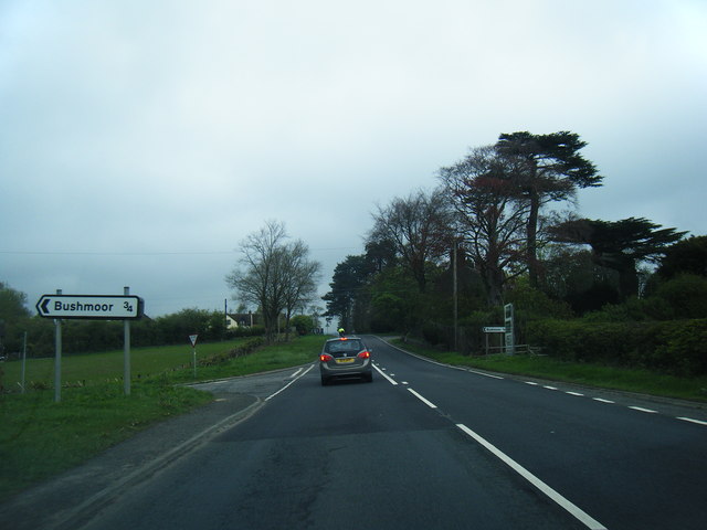
Bushmoor

Bushmoor is a hamlet in Shropshire, England. It is located in the parish of Wistanstow, 1ΒΌ miles north of that village, and half a mile west of the A49...

Nearby Amenities

Located within 500m of 52.482118,-2.817218
Felhampton
Place: hamlet
Wikidata: Q3811728
Lat/Long: 52.4804972/-2.8200971
Marsh Farm Junction
Railway: junction
Wikidata: Q6773313
Lat/Long: 52.4858477/-2.8190956
Power: pole
Lat/Long: 52.4834287/-2.81055
Power: pole
Lat/Long: 52.478154/-2.8180388
Power: pole
Lat/Long: 52.4790182/-2.818079
Power: pole
Lat/Long: 52.4799199/-2.8180844
Power: pole
Lat/Long: 52.4804084/-2.8177893
Power: pole
Lat/Long: 52.4809393/-2.8174567
Power: pole
Lat/Long: 52.4815126/-2.8170812
Power: pole
Lat/Long: 52.4830383/-2.8161532
Power: pole
Lat/Long: 52.4837309/-2.8156972
Power: pole
Lat/Long: 52.4845051/-2.8152305
Material: wood
Power: pole
Lat/Long: 52.4823474/-2.8178483
Power: pole
Lat/Long: 52.4820697/-2.8167245
Power: pole
Lat/Long: 52.4817479/-2.8156087
Power: pole
Lat/Long: 52.481431/-2.8143454
Power: pole
Lat/Long: 52.4808609/-2.812146
Power: pole
Lat/Long: 52.4805685/-2.8109765
Power: pole
Lat/Long: 52.4825434/-2.8114888
Power: pole
Lat/Long: 52.4816629/-2.8124008
Power: pole
Lat/Long: 52.4810062/-2.8131357
Power: pole
Lat/Long: 52.480343/-2.8137982
Power: pole
Lat/Long: 52.4796945/-2.8144902
Power: pole
Lat/Long: 52.4789757/-2.8152439
Power: pole
Lat/Long: 52.4780691/-2.8151822
Material: wood
Power: pole
Lat/Long: 52.4823523/-2.8194523
Material: wood
Power: pole
Lat/Long: 52.4824878/-2.8184867
Carols Chic Cakes
Fixme: add proper tags
Lat/Long: 52.4815937/-2.8194018
Parking
Parking: layby
Source: bing
Lat/Long: 52.4797353/-2.8200692
The data included in this document is from www.openstreetmap.org. The data is made available under ODbL.

Have you been to Felhampton?

Leave your review of Felhampton below (or comments, questions and feedback).