Chase Wood
Wood, Forest in Essex Uttlesford
England
Chase Wood

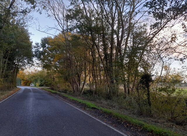
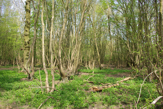
Chase Wood is a beautiful forest located in Essex, England. It is known for its lush greenery and abundant wildlife, making it a popular destination for nature enthusiasts and outdoor lovers.
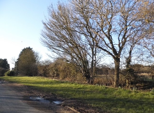
Covering an area of approximately 200 acres, Chase Wood is home to a diverse range of trees, including oak, beech, and birch. These tall, majestic trees create a dense canopy that provides shade and shelter for the various creatures that call the woodland their home.
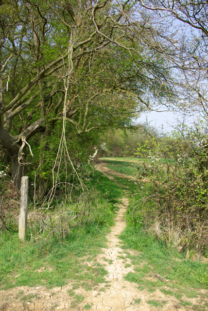
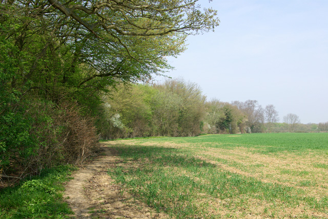
The forest is crisscrossed with a network of well-maintained trails, allowing visitors to explore its natural beauty on foot or by bike. These trails offer a chance to immerse oneself in the peaceful atmosphere, away from the hustle and bustle of the city.
Wildlife thrives in Chase Wood, and visitors may spot a variety of creatures during their visit. Red and roe deer are often seen grazing in the open meadows, while rabbits and squirrels scurry through the undergrowth. Birdwatchers will delight in the numerous species that inhabit the forest, including woodpeckers, owls, and various songbirds.
In addition to its natural beauty, Chase Wood also offers recreational facilities such as picnic areas and a children's playground. These amenities make it an ideal destination for families looking to spend a day outdoors, enjoying the fresh air and tranquil surroundings.
Overall, Chase Wood in Essex is a picturesque forest that offers a peaceful retreat from the urban environment. Its rich biodiversity and well-maintained trails make it a must-visit destination for anyone seeking to connect with nature.
If you have any feedback on the listing, please let us know in the comments section below.
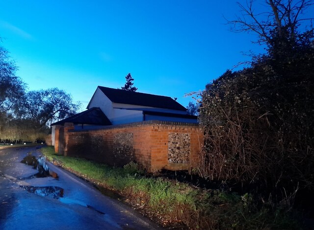
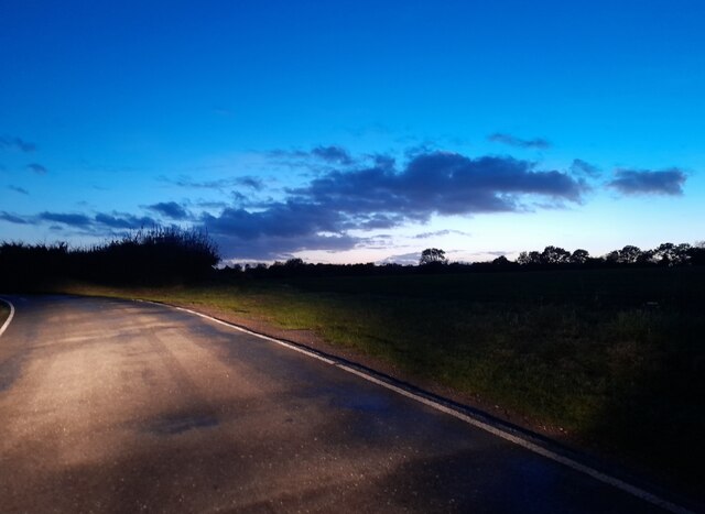
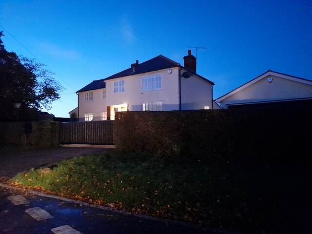
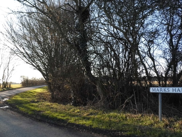
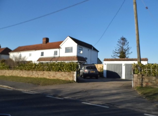
Chase Wood Images
Images are sourced within 2km of 51.791391/0.32020671 or Grid Reference TL6012. Thanks to Geograph Open Source API. All images are credited.


Chase Wood is located at Grid Ref: TL6012 (Lat: 51.791391, Lng: 0.32020671)
Administrative County: Essex
District: Uttlesford
Police Authority: Essex
What 3 Words
///chains.humans.locals. Near Hatfield Heath, Essex
Nearby Locations
Related Wikis

Leaden Roding
Leaden Roding is a village and civil parish in the Uttlesford district of Essex, England. The village is included in the eight hamlets and villages called...

Margaret Roding
Margaret Roding is a village and civil parish in the Uttlesford district of Essex, England. The village is included in the eight hamlets and villages called...

The Rodings
The Rodings are a group of eight villages in the upper part of the River Roding and the west of Essex, England, the largest group in the country to bear...

Clatterford End, High Easter
Clatterford End is a hamlet partly in the High Easter civil parish of the Uttlesford district, and partly in the Good Easter parish of the Chelmsford district...

Good Easter
Good Easter is a village and civil parish in the Chelmsford district of Essex, England. The village is 6 miles (10 km) northwest from the city and county...

Aythorpe Roding Windmill
Aythorpe Roding Windmill is a Grade II* listed Post mill at Aythorpe Roding, Essex, England which has been restored to working order. == History == Aythorpe...

High Easter
High Easter is a village and a civil parish in the Uttlesford district of Essex, England. The village is 7 miles (11 km) northwest from the city of and...
Aythorpe Roding
Aythorpe Roding is a village and civil parish in the Uttlesford district of Essex, England. The village is included in the eight hamlets and villages called...
Nearby Amenities
Located within 500m of 51.791391,0.32020671Have you been to Chase Wood?
Leave your review of Chase Wood below (or comments, questions and feedback).