Clay's Wood
Wood, Forest in Sussex Wealden
England
Clay's Wood
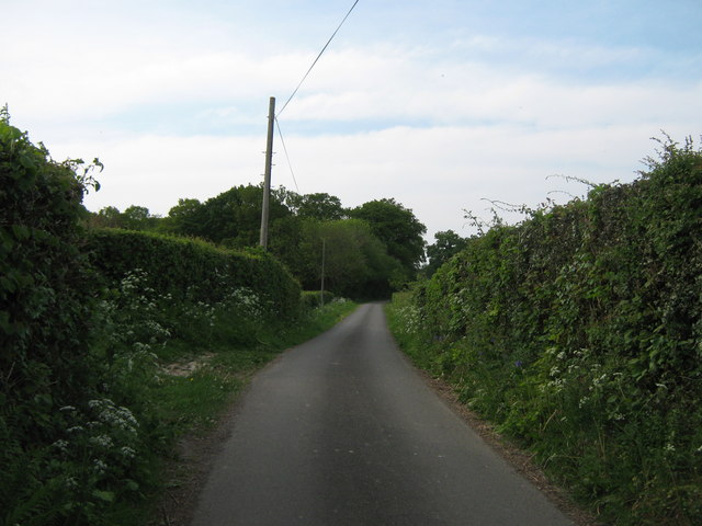
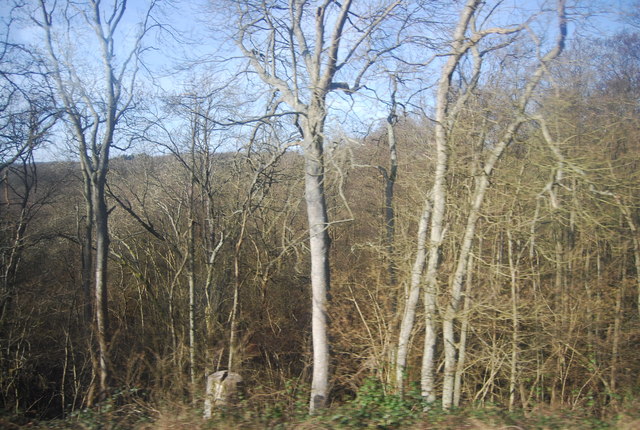
Clay's Wood is a picturesque forest located in Sussex, England. Covering an area of approximately 100 acres, this woodland area is known for its natural beauty and tranquil atmosphere. It is situated near the village of Clay's Gate, which adds to its charm and accessibility.
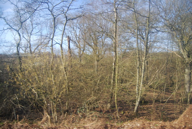
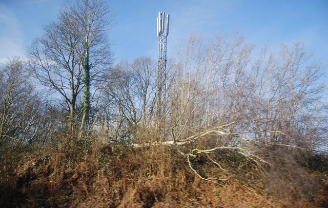
The forest is primarily composed of a mix of deciduous and coniferous trees, creating a diverse and vibrant ecosystem. Oak, beech, and pine trees dominate the landscape, providing a rich habitat for a variety of wildlife species. This makes Clay's Wood an ideal destination for nature enthusiasts and wildlife lovers.
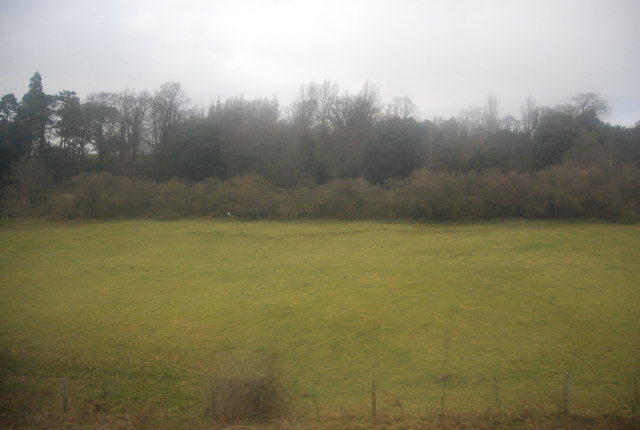
Walking through the forest, visitors can enjoy a network of well-maintained trails that meander through the trees and offer stunning views of the surrounding countryside. The peacefulness and serenity of the area create an immersive experience, allowing visitors to connect with nature and escape the hustle and bustle of everyday life.
Clay's Wood is also home to a wide range of bird species, making it a popular spot for birdwatching. From colorful woodland birds to raptors soaring above the treetops, there is always something to see and appreciate for bird enthusiasts.
Additionally, the forest provides recreational opportunities such as picnicking, camping, and photography. Its natural beauty and serene ambiance make it an ideal location for outdoor activities and a popular destination for families and nature lovers alike.
Overall, Clay's Wood in Sussex is a captivating forest that offers a peaceful retreat for those seeking to immerse themselves in nature. Its diverse flora and fauna, well-maintained trails, and picturesque surroundings make it a must-visit destination for anyone exploring the area.
If you have any feedback on the listing, please let us know in the comments section below.
Clay's Wood Images
Images are sourced within 2km of 51.088839/0.28478021 or Grid Reference TQ6034. Thanks to Geograph Open Source API. All images are credited.


Clay's Wood is located at Grid Ref: TQ6034 (Lat: 51.088839, Lng: 0.28478021)
Administrative County: East Sussex
District: Wealden
Police Authority: Sussex
What 3 Words
///picked.leaned.person. Near Wadhurst, East Sussex
Nearby Locations
Related Wikis

Frant
Frant is a village and civil parish in the Wealden District of East Sussex, England, on the Kentish border about three miles (5 km) south of Royal Tunbridge...

St Alban's Church, Frant
St Alban's Church is a Church of England parish church in Frant, East Sussex, England. It was built in 1819–22 in a fifteenth-century gothic revival style...

Frant railway station
Frant railway station is on the Hastings line in East Sussex, England, and serves the civil parish of Frant (although the station is actually located some...

Eridge Park
Eridge Park () is a village and historic park located north of the parish of Rotherfield, to the north-east of Crowborough in East Sussex, England. The...

Wadhurst railway station
Wadhurst railway station is on the Hastings line in the south of England and serves the town of Wadhurst, East Sussex. It is 39 miles 23 chains (63.2 km...

Best Beech Hill
Best Beech Hill is a locality in the civil parish of Wadhurst in the Wealden district of East Sussex, England. Wadhurst lies approximately 1.6 miles...

Kent and Sussex Crematorium and Cemetery
The Kent and Sussex Crematorium and Cemetery is a crematorium and cemetery located in Royal Tunbridge Wells in the county of Kent, England. == Background... ==

Walter's Mill, Mark Cross
Walter's Mill is a tower mill at Mark Cross, Sussex, England which has been converted to residential accommodation. == History == Walter's Mill was first...
Nearby Amenities
Located within 500m of 51.088839,0.28478021Have you been to Clay's Wood?
Leave your review of Clay's Wood below (or comments, questions and feedback).