Rookery Wood

Wood, Forest in Sussex Wealden

England

Rookery Wood

All Saint's Church, Old Heathfield Grade II* listed.
The tower and south chapel are C13, but the rest is C14, much renewed in the C19.
Broached shingled spire.
All Saint's Church, Old Heathfield Credit: Julian P Guffogg

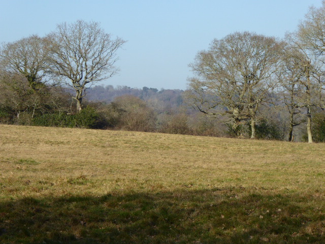
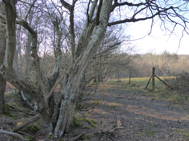
Rookery Wood is a picturesque woodland located in the county of Sussex, England. Covering an area of approximately 50 acres, it is a captivating destination for nature enthusiasts and those seeking tranquility amidst nature's wonders.

The woodland is characterized by a diverse range of tree species, including oak, beech, and birch, which create a dense canopy that offers shade and shelter to a variety of wildlife. The forest floor is adorned with an array of wildflowers, ferns, and mosses, adding a touch of vibrancy to the landscape.

Rookery Wood is home to a rich and diverse ecosystem, providing shelter and sustenance to a myriad of wildlife species. It is a haven for birdwatchers, with an abundance of avian species such as robins, woodpeckers, and owls. Squirrels can be spotted playfully scampering along the branches, while badgers and foxes leave their traces in the undergrowth.

Visitors to Rookery Wood can explore the numerous walking trails that wind their way through the woodland, offering a chance to immerse oneself in the sights and sounds of nature. Along the way, there are several picnic spots and benches where visitors can rest and enjoy the peaceful ambiance.

Managed by a local conservation group, Rookery Wood also serves as an educational resource, hosting workshops and guided tours to raise awareness about the importance of preserving and protecting natural habitats. It is a popular destination for school field trips and nature study programs.

In conclusion, Rookery Wood is a captivating and biodiverse woodland in Sussex, offering visitors an opportunity to connect with nature and appreciate its beauty.

If you have any feedback on the listing, please let us know in the comments section below.
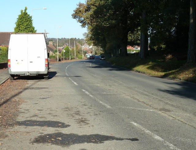
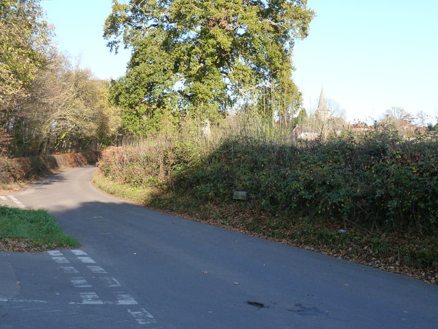
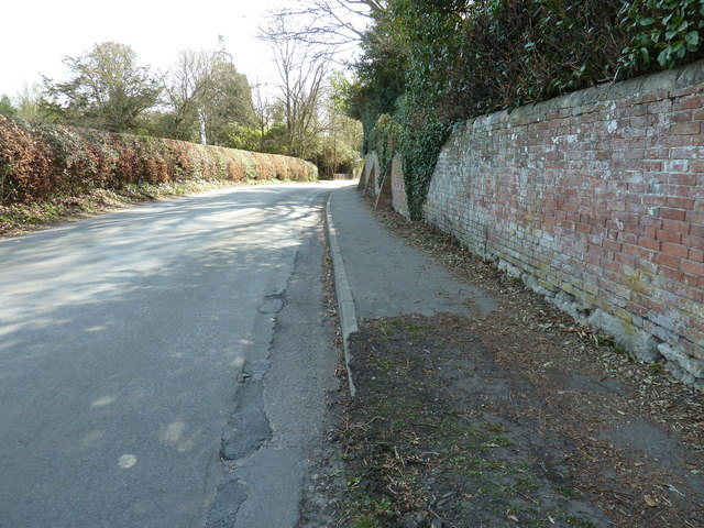
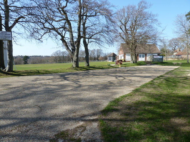
Rookery Wood Images

Images are sourced within 2km of 50.952246/0.27450007 or Grid Reference TQ5919. Thanks to Geograph Open Source API. All images are credited.

All Saint's Church, Old Heathfield Grade II* listed.
The tower and south chapel are C13, but the rest is C14, much renewed in the C19.
Broached shingled spire.
All Saint's Church, Old Heathfield
Grade II* listed. The tower and south chapel are C13, but the rest is C14, much renewed in the C19. Broached shingled spire.
The Organ in All Saints, Old Heathfield Originally 1795 by Samuel Green. Rebuilt J W Walker in 1866. Single  manual with flat straight pedal board. 9 speaking stops.
The Organ in All Saints, Old Heathfield
Originally 1795 by Samuel Green. Rebuilt J W Walker in 1866. Single manual with flat straight pedal board. 9 speaking stops.
Footpath crossing the Cuckoo Trail On the southern outskirts of Heathfield.
Footpath crossing the Cuckoo Trail
On the southern outskirts of Heathfield.
Theobald's Green, Sandy Cross Heathfield This is the B2203 from Horam.
Theobald's Green, Sandy Cross Heathfield
This is the B2203 from Horam.
Roadside conifers on the east side of Theobald's Green
Path junction with Weavers Rock Lane
Park road on the right meets Sandy Cross Lane The aptly named Park Road is the western edge of Heathfield Park an old country estate dating back to the seventeen hundreds. The grounds and house have been remodelled a few times since then.
Part of the park has SSSI status for its Lichen habitat.
Park road on the right meets Sandy Cross Lane
The aptly named Park Road is the western edge of Heathfield Park an old country estate dating back to the seventeen hundreds. The grounds and house have been remodelled a few times since then. Part of the park has SSSI status for its Lichen habitat.
East on Weavers Rock Lane The wall is the southern boundary of Heathfield Park.
East on Weavers Rock Lane
The wall is the southern boundary of Heathfield Park.
Weavers Rock Lane meets Nettlesworth Lane South of Old Heathfield.
Weavers Rock Lane meets Nettlesworth Lane
South of Old Heathfield.
Nettlesworth Lane rising to Old Heathfield All Saints Church is visible on the right.
Nettlesworth Lane rising to Old Heathfield
All Saints Church is visible on the right.
Road Junction, B2096, towards Heathfield
Houses on Halley Road near Cade Street
B2096 near Heathfield Community College
Entrance to Heathfield Community College
Buttressed boundary wall to Heathfield Park On School Hill, Old Heathfield.
Buttressed boundary wall to Heathfield Park
On School Hill, Old Heathfield.
All Saints and St Richard's C of E  Primary School On School Hill Old Heathfield.
All Saints and St Richard's C of E Primary School
On School Hill Old Heathfield.
Cricket ground and pavilion at Old Heathfield
View south down School Hill in Old Heathfield School Hill continues to the right while the small lane on the left terminates at the church.
View south down School Hill in Old Heathfield
School Hill continues to the right while the small lane on the left terminates at the church.
Show me another place!

Rookery Wood is located at Grid Ref: TQ5919 (Lat: 50.952246, Lng: 0.27450007)

Administrative County: East Sussex

District: Wealden

Police Authority: Sussex

What 3 Words

///drives.infants.segregate. Near Heathfield, East Sussex

Related Wikis

St Dunstan's Farm Meadows

St Dunstan's Farm Meadows is a 10.2-hectare (25-acre) biological Site of Special Scientific Interest south-east of Heathfield in East Sussex. It is in...

All Saints Church, Heathfield

All Saints Church is a Church of England parish church in Heathfield, East Sussex, England. It was constructed in the 14th century and is a Grade II* listed...

Sapperton Meadows

Sapperton Meadows is a 14.7-hectare (36-acre) biological Site of Special Scientific Interest south of Heathfield in East Sussex.These poorly drained hay...

Heathfield Park SSSI

Heathfield Park SSSI is a 41-hectare (100-acre) biological Site of Special Scientific Interest east of Heathfield in East Sussex. It is part of Heathfield...

Heathfield Community College

Heathfield Community College is a secondary school near the market town of Heathfield, East Sussex, England. == School Enrollment == The college draws...

Warbleton

Warbleton is a village and civil parish in the Wealden district of East Sussex, England. Within its bounds are three other settlements. It is located south...

Maynard's Green

Maynard's Green is a village in the Wealden district of East Sussex. == External links == Maynards Green Community Primary School

Heathfield, East Sussex

Heathfield is a market town and former civil parish, now in the parish of Heathfield and Waldron, in the Wealden District of East Sussex, England. The...

Nearby Amenities

Located within 500m of 50.952246,0.27450007
Power: pole
Lat/Long: 50.9486149/0.2720377
Power: pole
Lat/Long: 50.9489579/0.2738509
Power: pole
Lat/Long: 50.9505598/0.2748191
Power: pole
Lat/Long: 50.9513439/0.275259
Power: pole
Lat/Long: 50.9522175/0.2766082
Power: pole
Lat/Long: 50.9529356/0.2777883
Power: pole
Lat/Long: 50.9537111/0.2790356
Power: pole
Lat/Long: 50.9545424/0.2803713
The data included in this document is from www.openstreetmap.org. The data is made available under ODbL.

Have you been to Rookery Wood?

Leave your review of Rookery Wood below (or comments, questions and feedback).