Canfield Spring
Wood, Forest in Essex Uttlesford
England
Canfield Spring

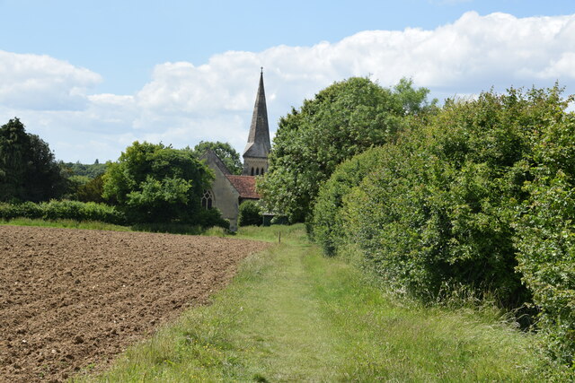
Canfield Spring is a picturesque woodland area located in Essex, England. It is situated in the heart of the stunning Epping Forest, a vast area of ancient woodland preserved for its ecological and historical significance. Canfield Spring is known for its serene ambiance and natural beauty, attracting visitors who seek tranquility and a connection with nature.
The spring itself is a natural water source that flows gently through the forest, creating a peaceful and soothing atmosphere. It is surrounded by a dense canopy of trees, predominantly oak and beech, which provide shade and shelter for a variety of wildlife.
The woodland is home to a diverse range of flora and fauna, including rare and protected species. Bluebells, wild garlic, and primroses adorn the forest floor in spring, creating a vibrant carpet of color. Bird enthusiasts can spot a multitude of species, such as woodpeckers, nuthatches, and tawny owls, while lucky visitors may even catch a glimpse of deer or foxes.
Canfield Spring offers a range of recreational activities for nature enthusiasts. Visitors can explore the numerous walking trails that wind through the woodland, providing an opportunity to immerse themselves in the natural surroundings. The area is also a popular spot for picnicking, with designated areas offering stunning views of the spring and its surroundings.
Overall, Canfield Spring is a hidden gem within Epping Forest, providing a tranquil escape from the hustle and bustle of everyday life. Its natural beauty and diverse wildlife make it a must-visit destination for those seeking a peaceful and immersive woodland experience.
If you have any feedback on the listing, please let us know in the comments section below.
Canfield Spring Images
Images are sourced within 2km of 51.87652/0.31636413 or Grid Reference TL5922. Thanks to Geograph Open Source API. All images are credited.


Canfield Spring is located at Grid Ref: TL5922 (Lat: 51.87652, Lng: 0.31636413)
Administrative County: Essex
District: Uttlesford
Police Authority: Essex
What 3 Words
///replace.punctual.tilting. Near Great Dunmow, Essex
Nearby Locations
Related Wikis

High Wood, Dunmow
High Wood, Dunmow is a 41.5-hectare (103-acre) biological Site of Special Scientific Interest in Great Dunmow in Essex. The local planning authority is...
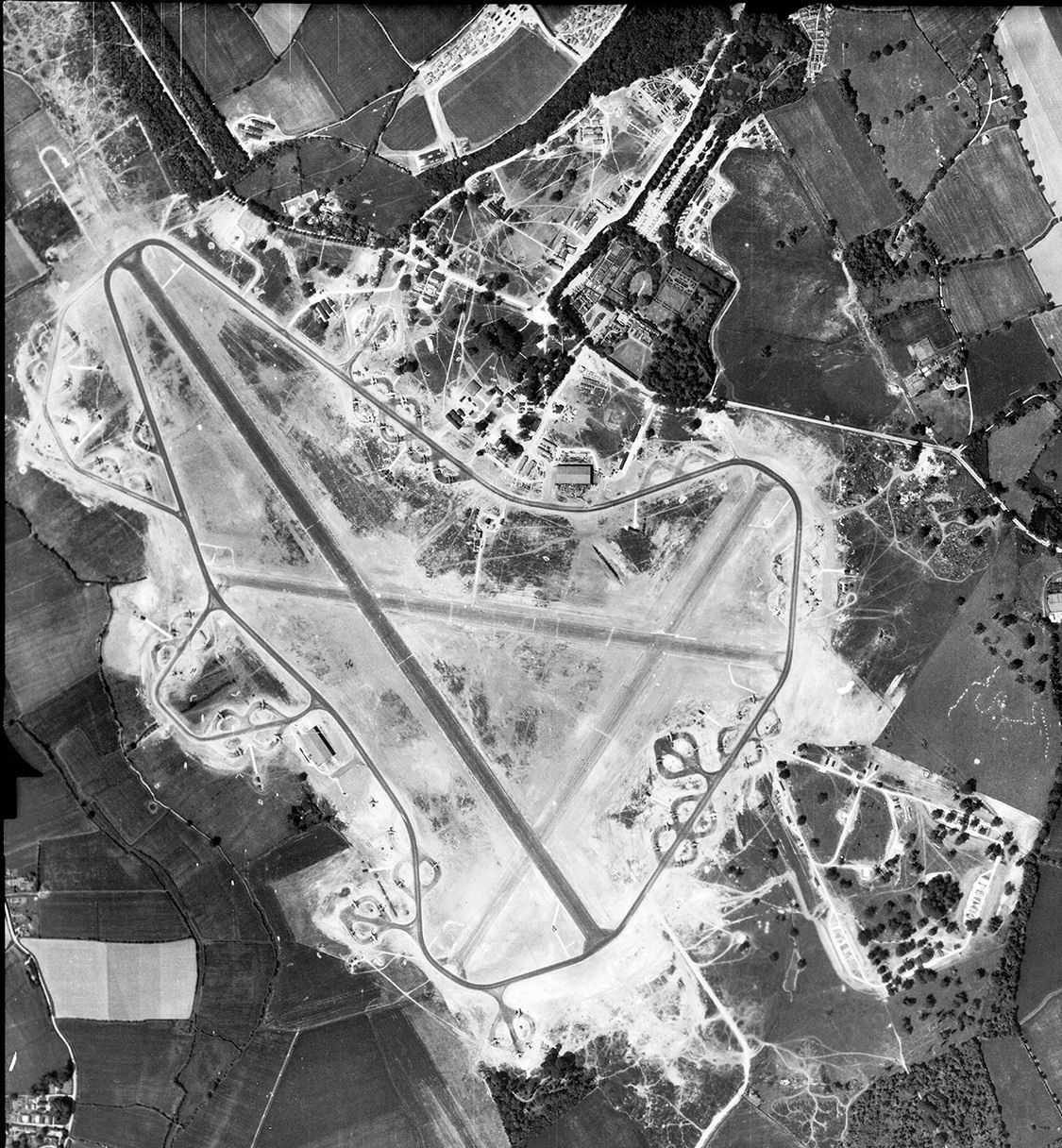
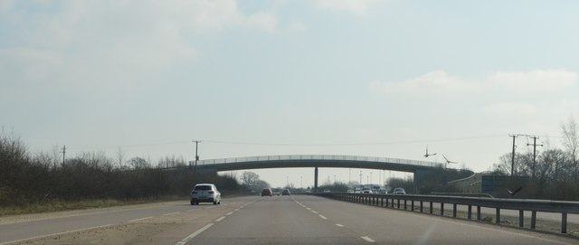
RAF Great Dunmow
Royal Air Force Great Dunmow or more simply RAF Great Dunmow is a former Royal Air Force station in the parish of Little Easton, Essex, England. The airfield...
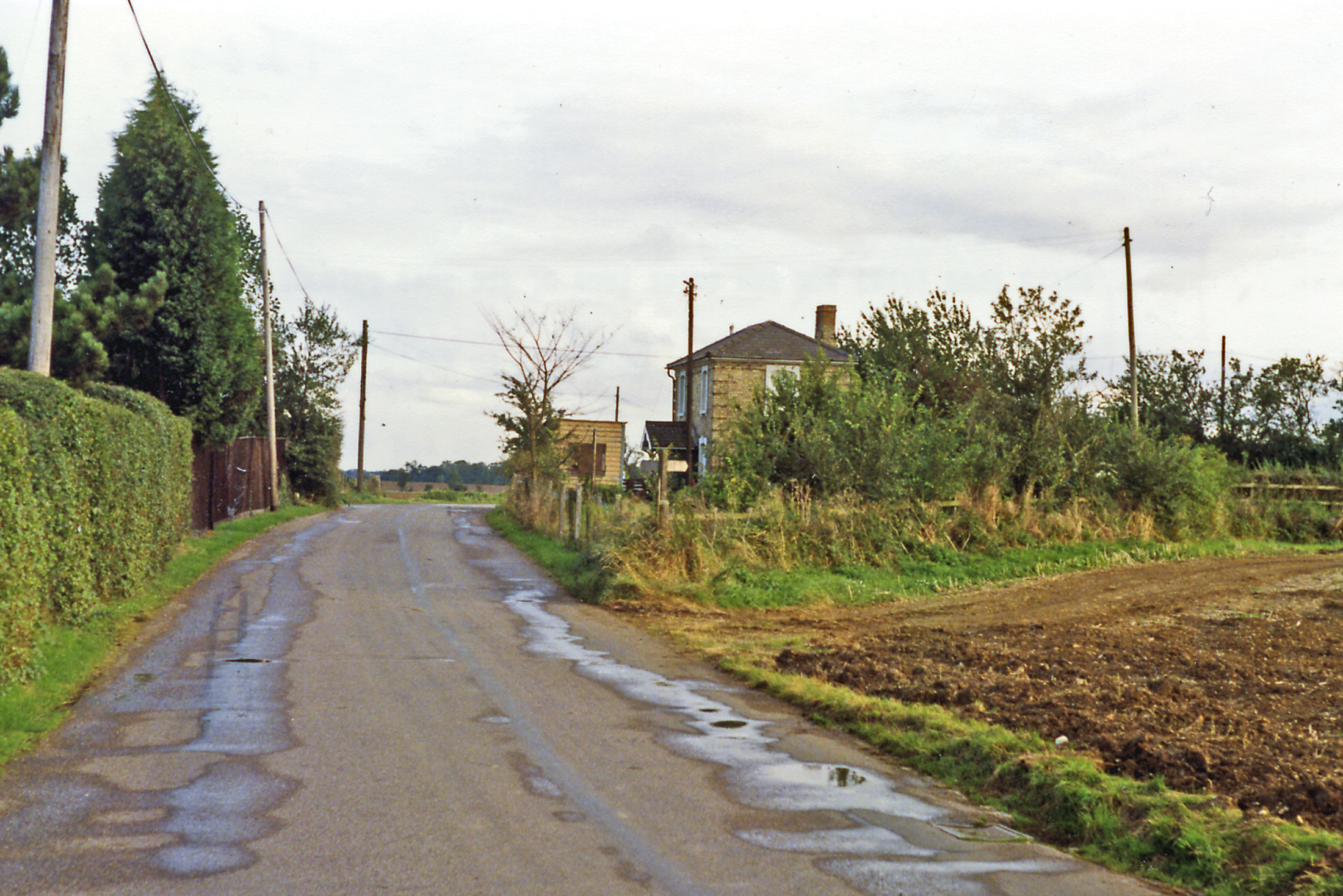
Easton Lodge railway station
Easton Lodge railway station was located to the west of Great Dunmow, Essex, near Easton Lodge. The station on the Bishop's Stortford to Braintree branch...

Easton Lodge
Easton Lodge was a Victorian Gothic style stately home in Little Easton and north-west of Great Dunmow, Essex, England. Once famous for its weekend society...

Stane Street (Colchester)
Stane Street is a 39 mi (63 km) Roman road that runs from Ermine Street at Braughing, Hertfordshire to Colchester in Essex. == Route == Stane Street can...
Little Easton
Little Easton is a village and civil parish in Essex, England. The village is situated approximately 7 miles (11 km) east from the town of Bishop's Stortford...

Talliston House
Talliston House & Gardens is an ex-council house in Essex, England that has been transformed by owner John Trevillian into a miniature palace. The house...

Helena Romanes School
Helena Romanes School (also known/abbreviated as HRS) is a coeducational all-through school and sixth form. It is situated in Great Dunmow in the English...
Nearby Amenities
Located within 500m of 51.87652,0.31636413Have you been to Canfield Spring?
Leave your review of Canfield Spring below (or comments, questions and feedback).