Brown's Wood
Wood, Forest in Essex Uttlesford
England
Brown's Wood
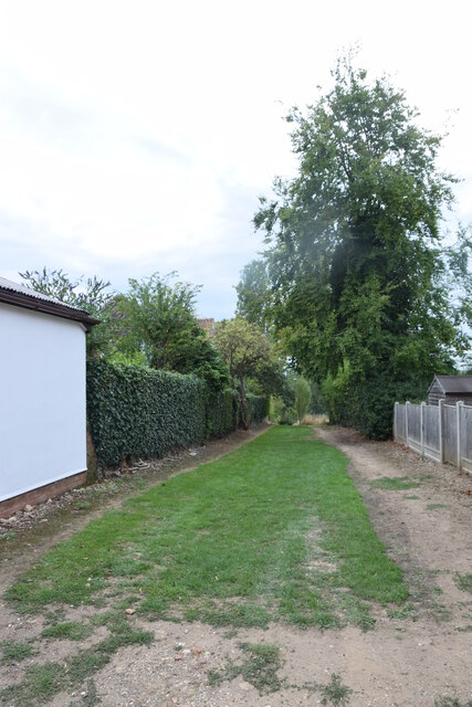
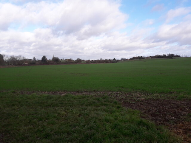
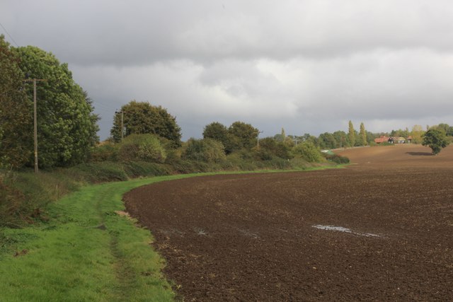
Brown's Wood is a small woodland area located in the county of Essex, England. Situated near the village of Wood, within the larger Epping Forest district, it spans approximately 50 acres of land.
The wood is predominantly composed of native broadleaf tree species, such as oak, beech, and birch, which create a diverse and lush canopy. This rich vegetation provides a habitat for a wide range of wildlife, including various bird species, small mammals, and insects.
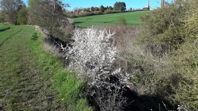
Brown's Wood is open to the public and offers visitors a peaceful and tranquil setting for recreational activities such as walking, jogging, and picnicking. It is also a popular spot for nature enthusiasts and photographers who appreciate the beauty and serenity of the natural environment.
The woodland is intersected by a network of well-maintained footpaths, allowing visitors to explore its different sections and discover its hidden gems. Along these paths, one can find benches and picnic areas, providing opportunities for relaxation and enjoying the surroundings.
Managed by the local authorities, Brown's Wood is regularly maintained to ensure the health and vitality of its flora and fauna. Conservation efforts focus on preserving the natural habitat and fostering biodiversity within the woodland.
Overall, Brown's Wood offers a welcome escape from the hustle and bustle of urban life, providing a peaceful retreat where visitors can immerse themselves in nature and enjoy the beauty of Essex's woodlands.
If you have any feedback on the listing, please let us know in the comments section below.
Brown's Wood Images
Images are sourced within 2km of 51.944435/0.31802891 or Grid Reference TL5929. Thanks to Geograph Open Source API. All images are credited.


Brown's Wood is located at Grid Ref: TL5929 (Lat: 51.944435, Lng: 0.31802891)
Administrative County: Essex
District: Uttlesford
Police Authority: Essex
What 3 Words
///files.universally.eternally. Near Thaxted, Essex
Nearby Locations
Related Wikis

Cutlers Green Halt railway station
Cutlers Green Halt railway station was a station serving the hamlet of Cutlers Green, Essex. It was located 4 miles 52 chains (7.48 km) from Elsenham station...

Horham Hall
Horham Hall may refer to the timber-framed late mediaeval hall in Thaxted, England, or to the brick hall built in its place by Sir John Cutte (died 1520...
Armigers, Essex
Armigers is a hamlet on the B1051 road in the Uttlesford district of Essex, England. It is located midway between Thaxted and Broxted.
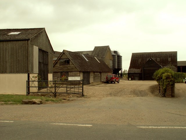
Cutlers Green
Cutlers Green is a hamlet in the civil parish of Thaxted, and the Uttlesford district of Essex, England. The hamlet is 1 mile (1.6 km) west from the town...

Thaxted railway station
Thaxted railway station served the village of Thaxted, Essex. It was located 5 miles 47 chains (8.99 km) from Elsenham station. It closed in 1952. ��2...

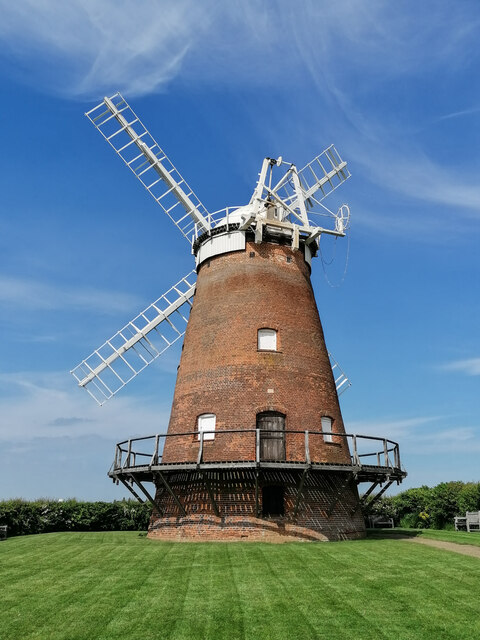
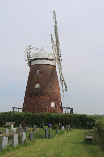
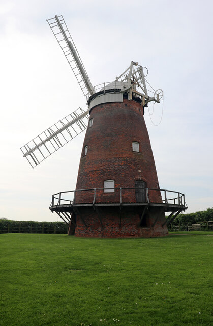
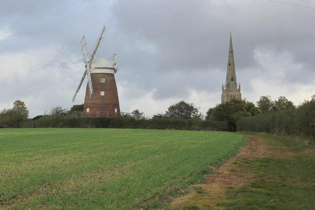
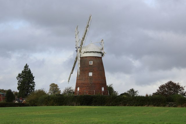
John Webb's Mill, Thaxted
John Webb’s or Lowe’s Mill is a Grade II* listed tower mill at Thaxted, Essex, England, which had been restored to working order, but is currently out...
Cherry Green, Essex
Cherry Green or Chaureth Green is a hamlet in the civil parish of Broxted and the Uttlesford district of Essex, England. The hamlet is 1.5 miles (2.4 km...
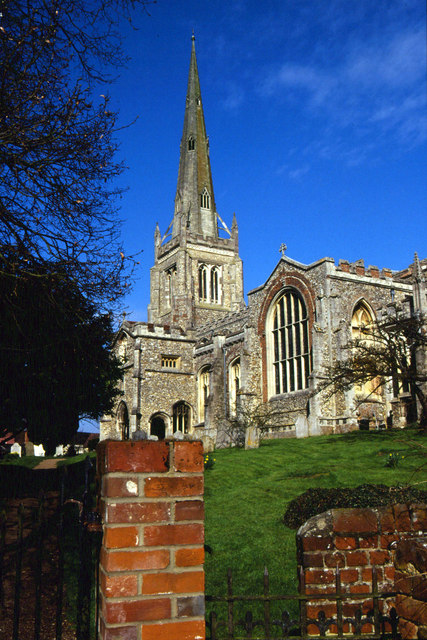
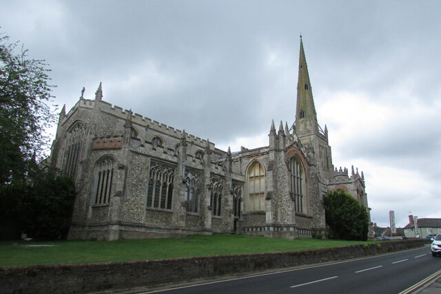
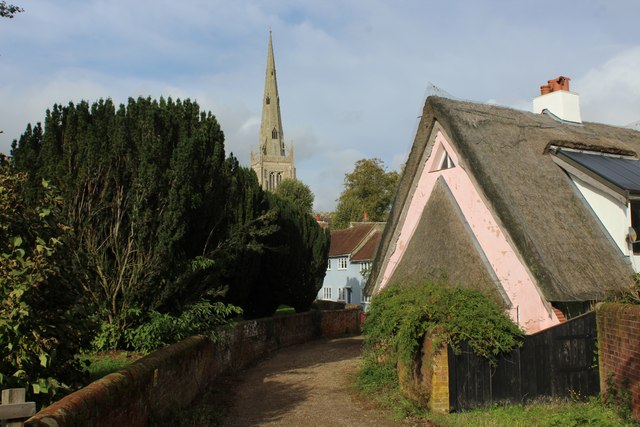
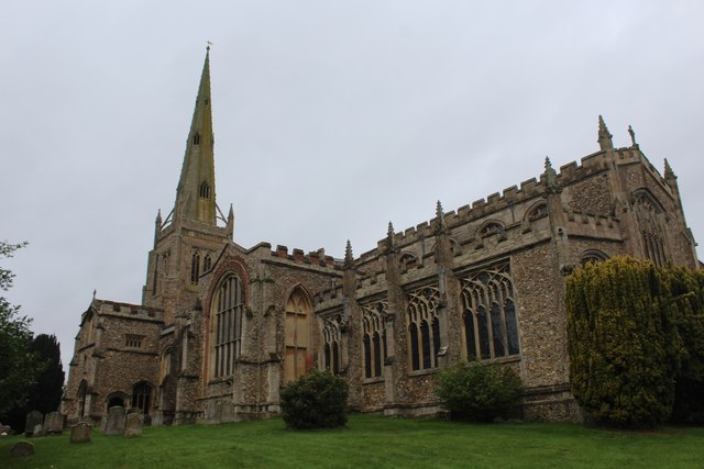
Thaxted Parish Church
The Church of Saint John the Baptist with Our Lady and Saint Laurence is the parish church of the town of Thaxted in Essex, England. The present church...
Nearby Amenities
Located within 500m of 51.944435,0.31802891Have you been to Brown's Wood?
Leave your review of Brown's Wood below (or comments, questions and feedback).